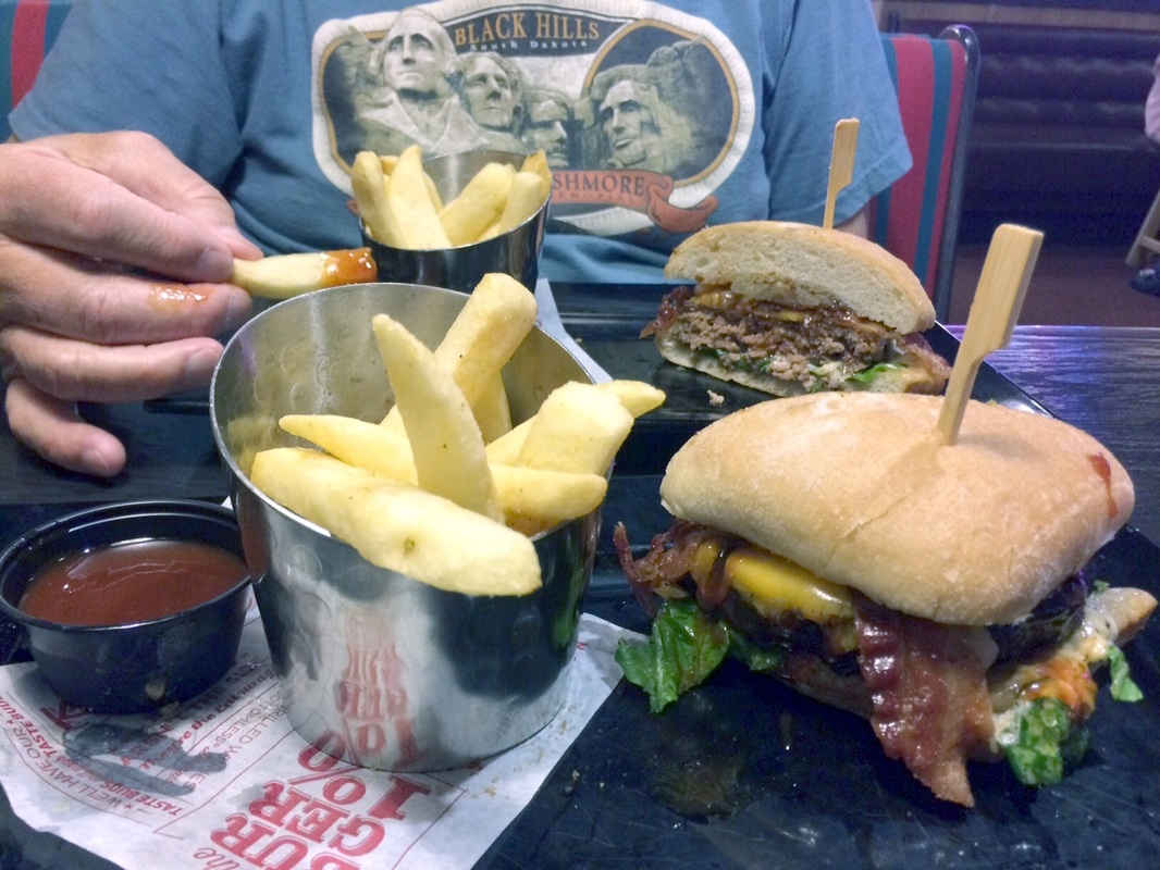
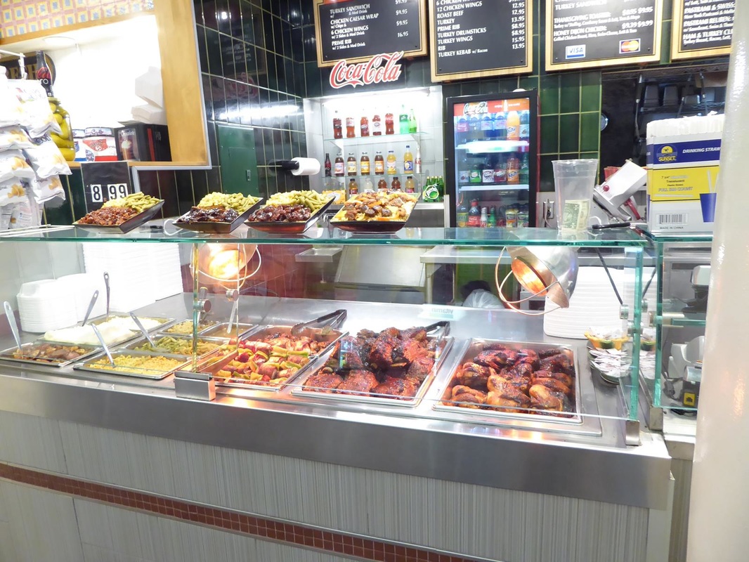
|
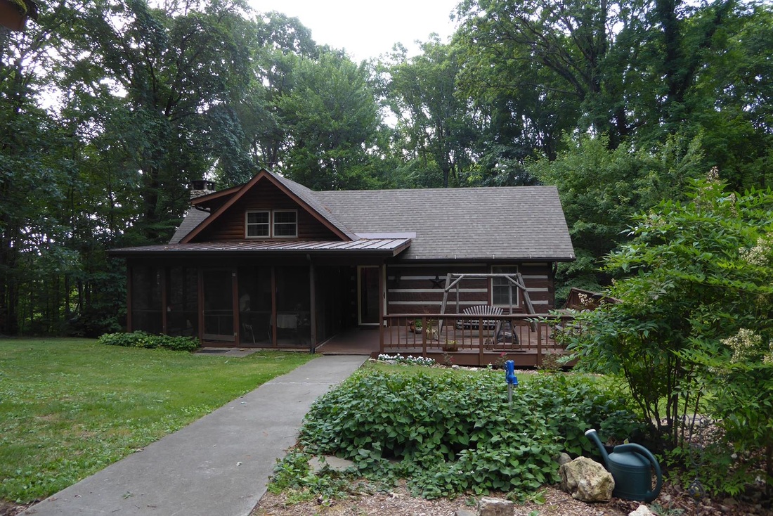
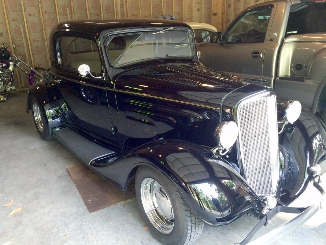
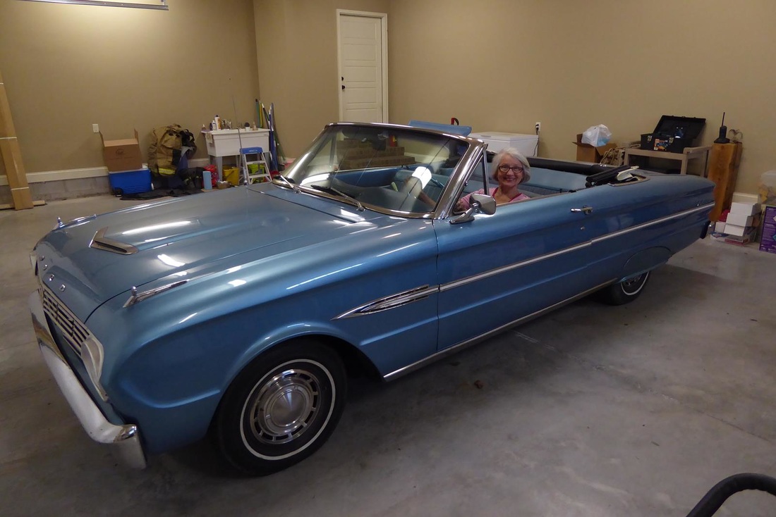
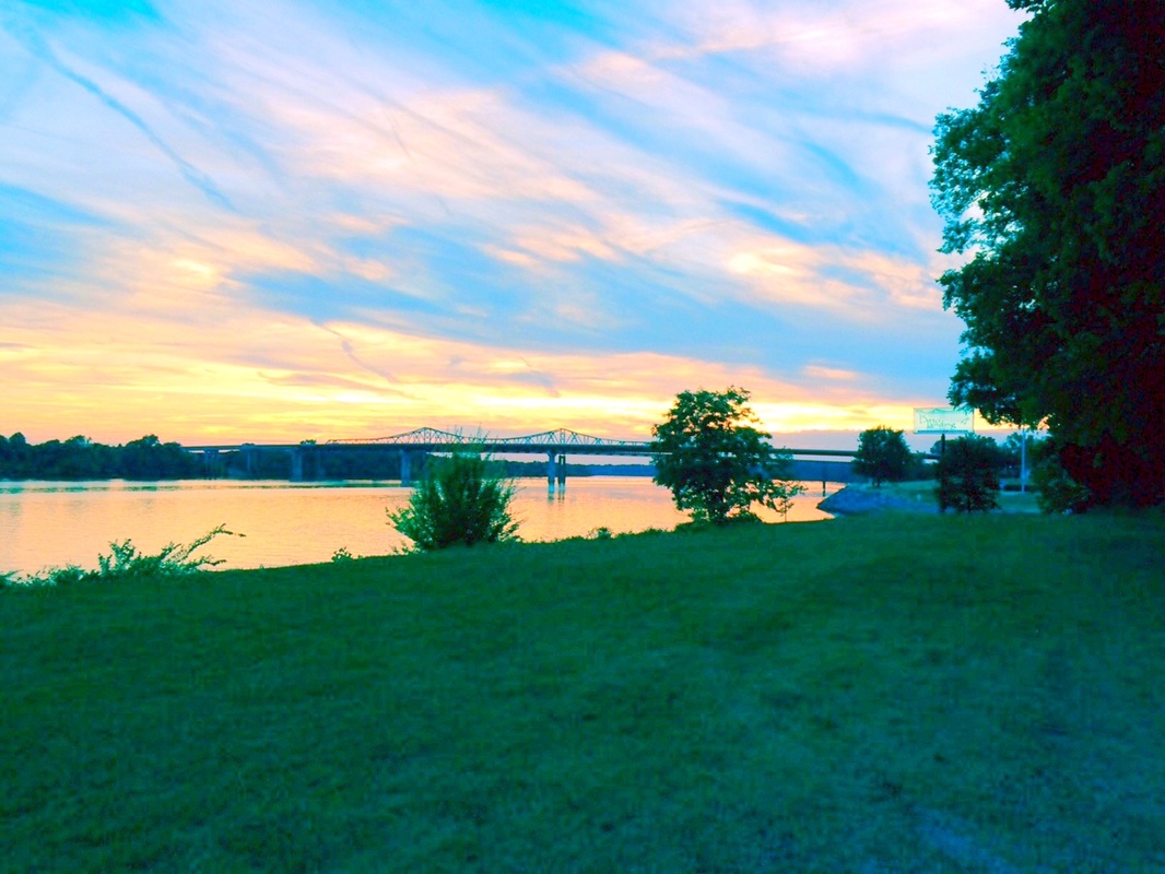
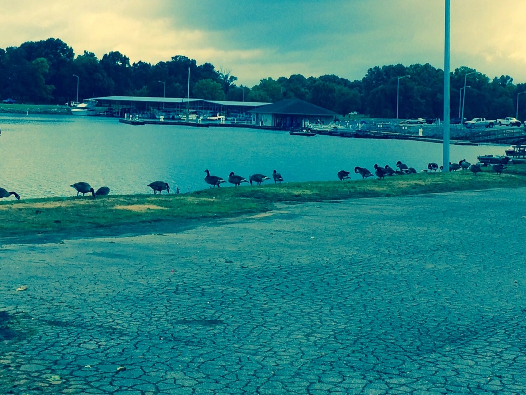
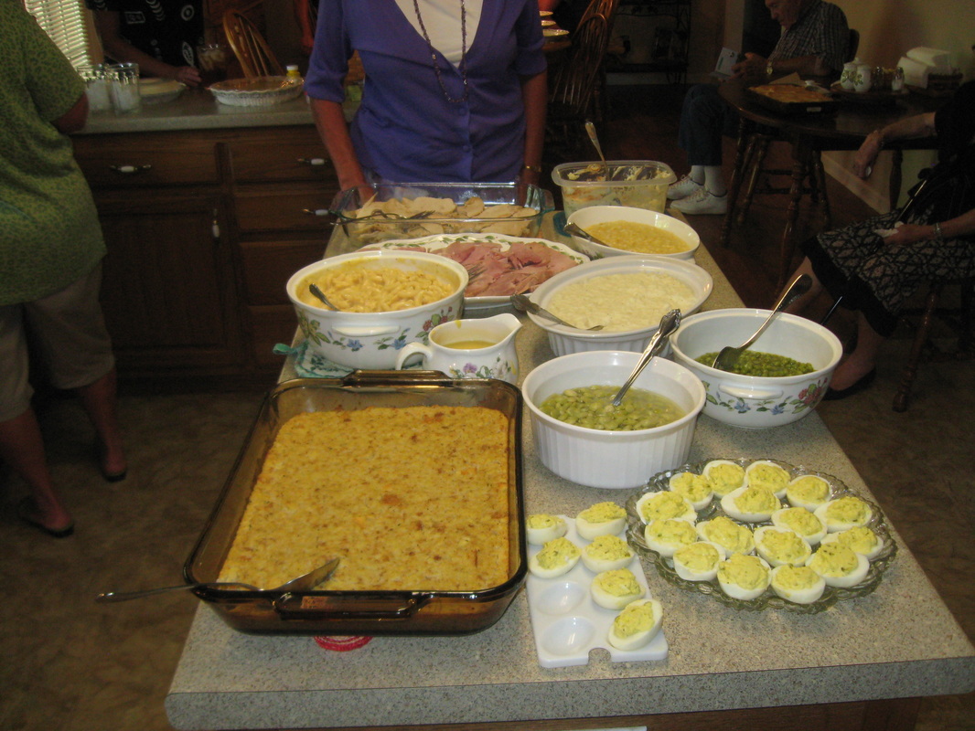
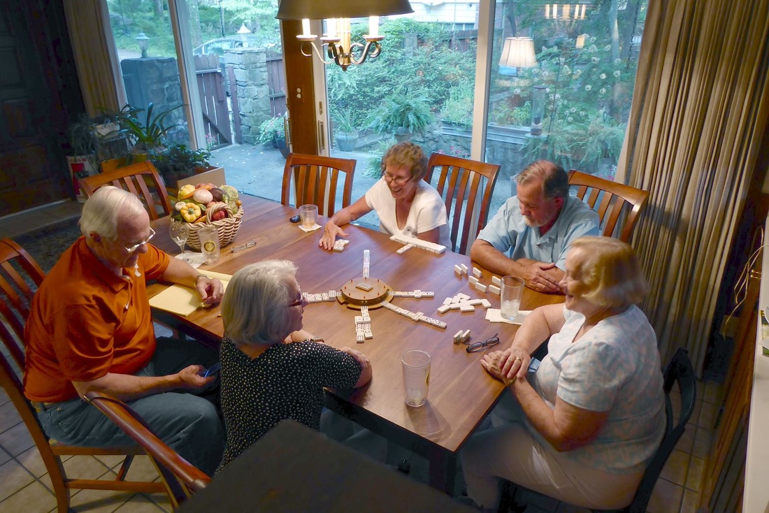
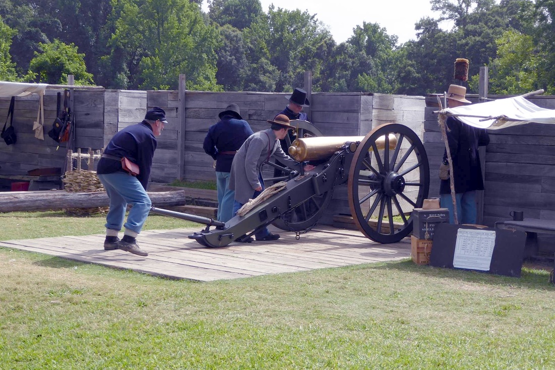
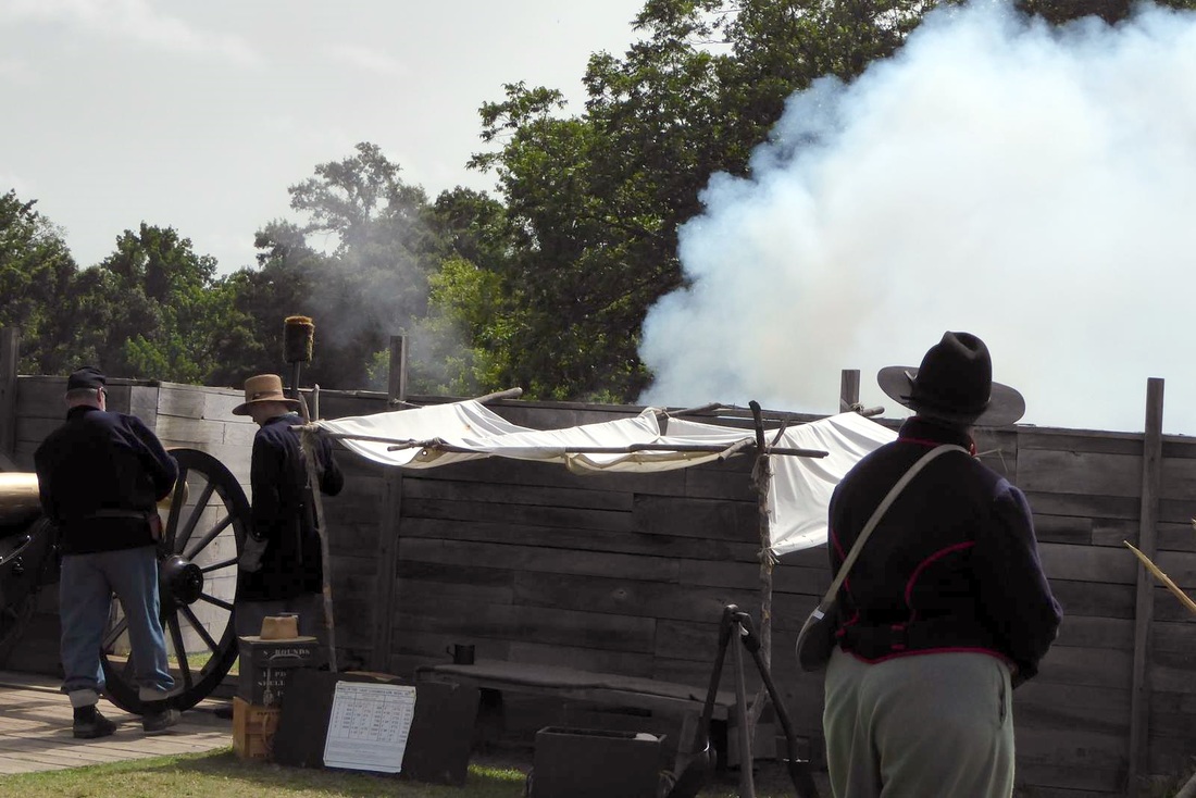
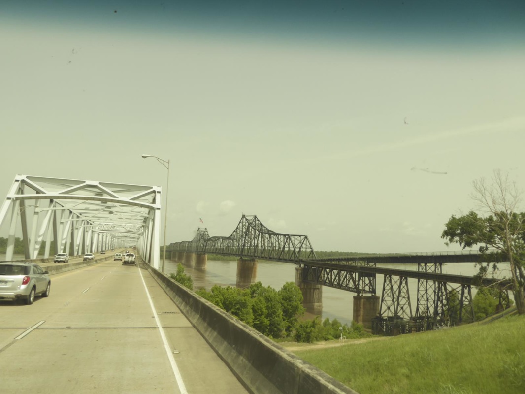
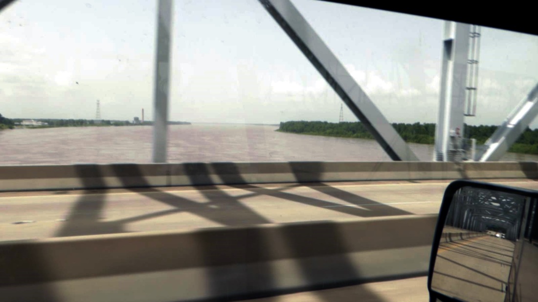
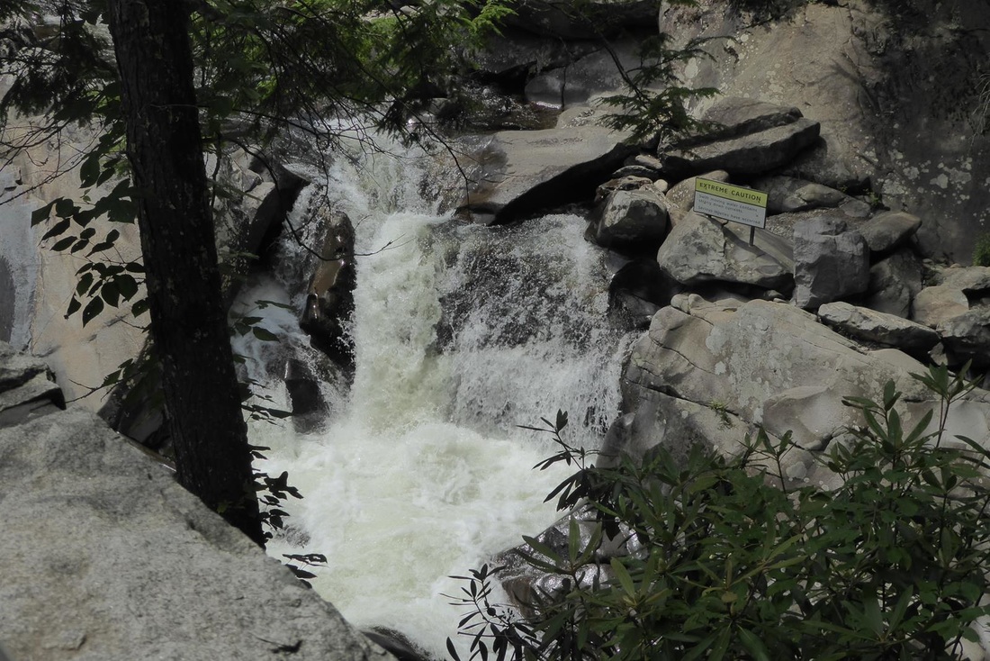
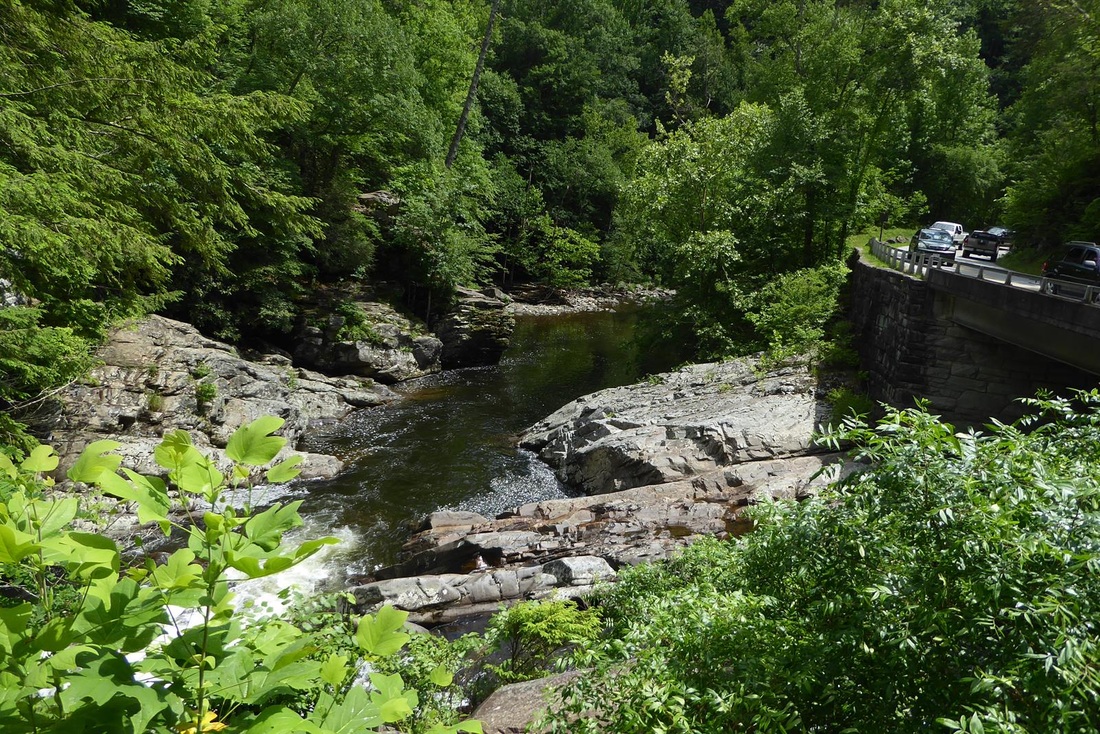
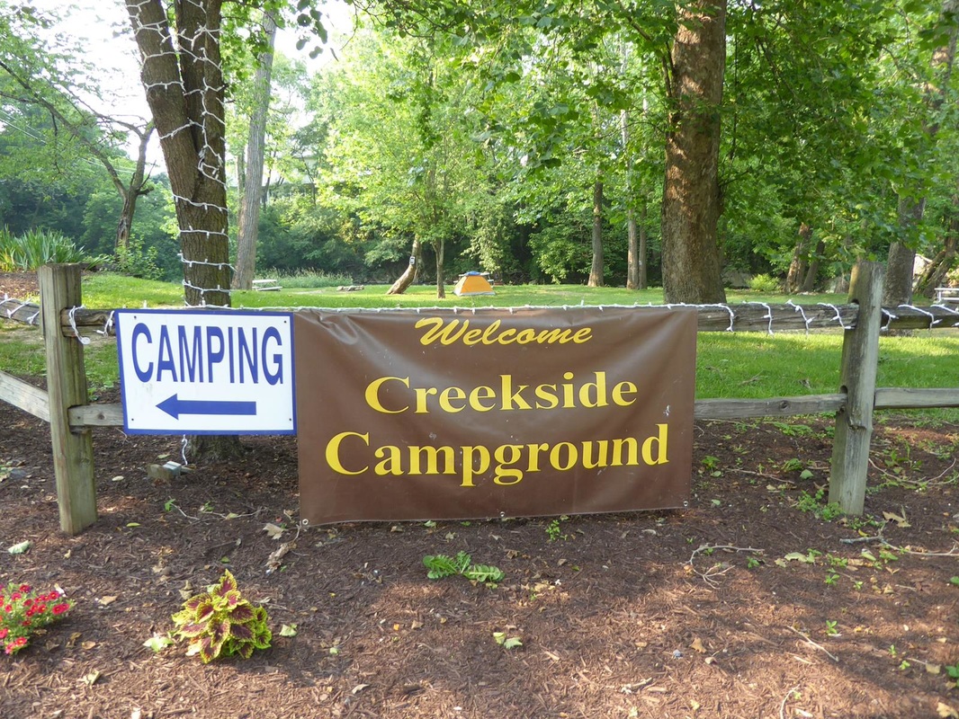
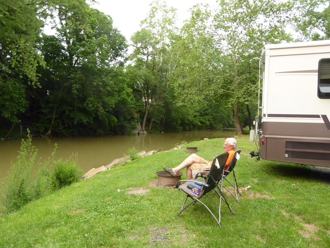
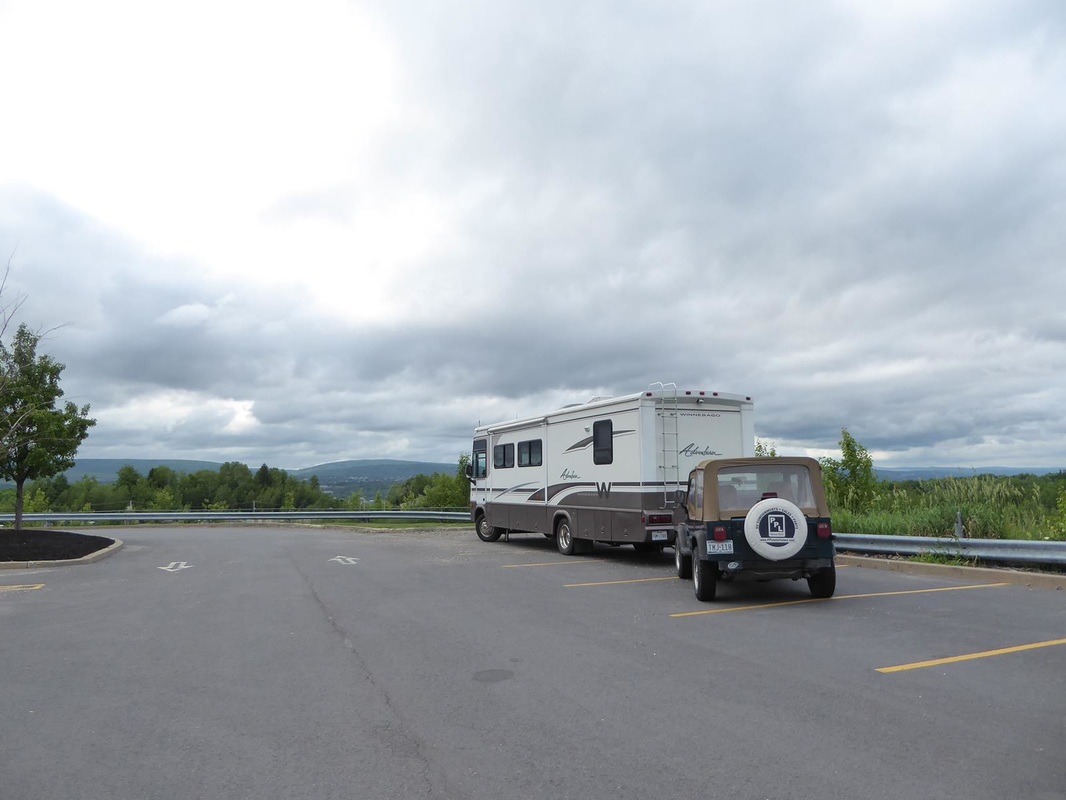
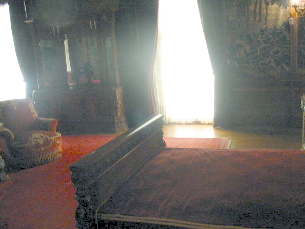
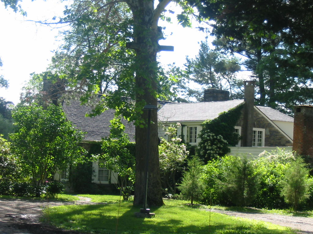
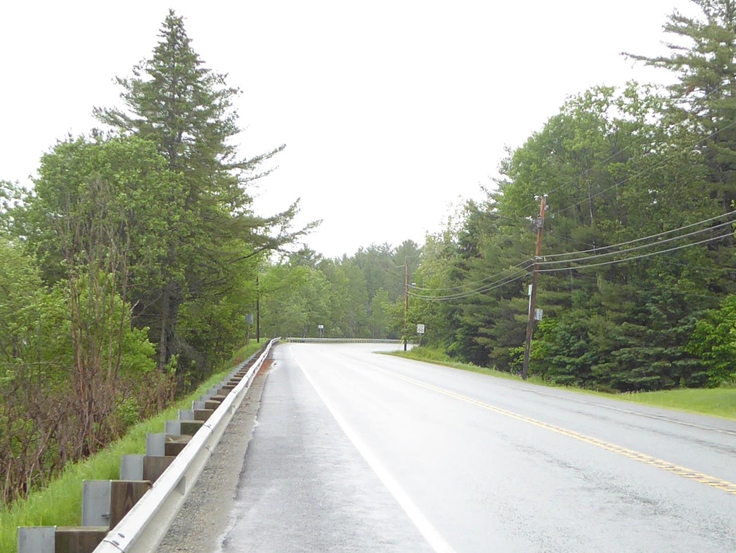
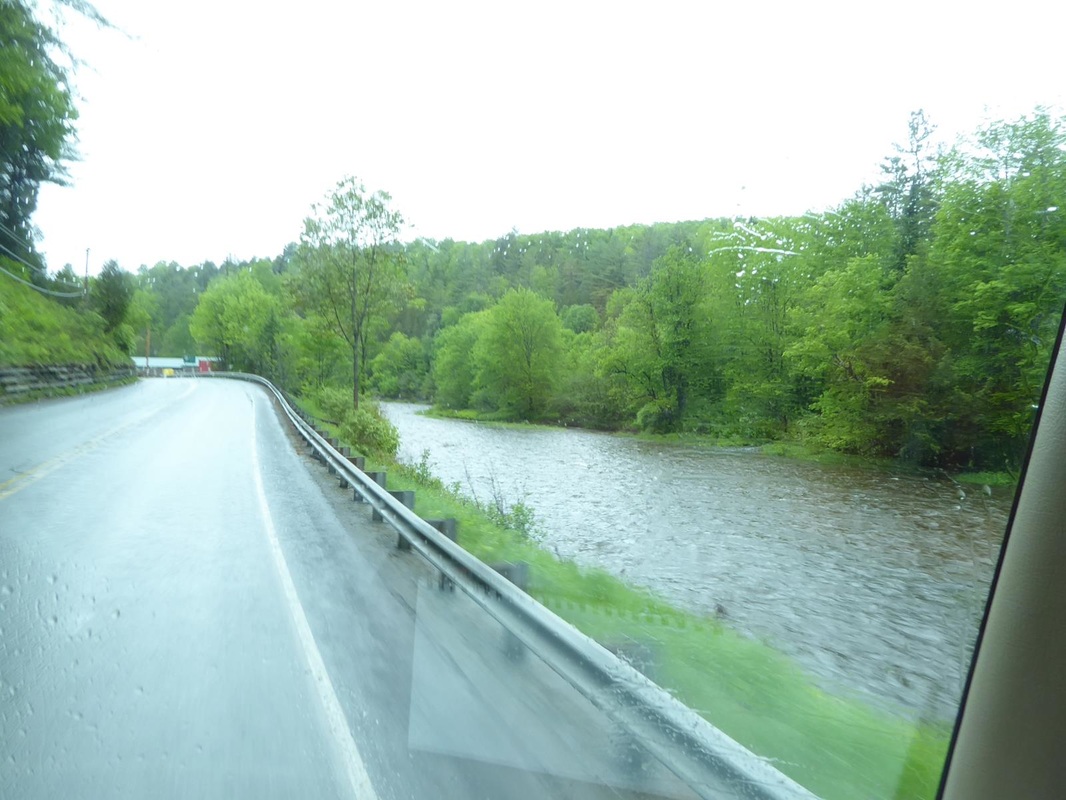
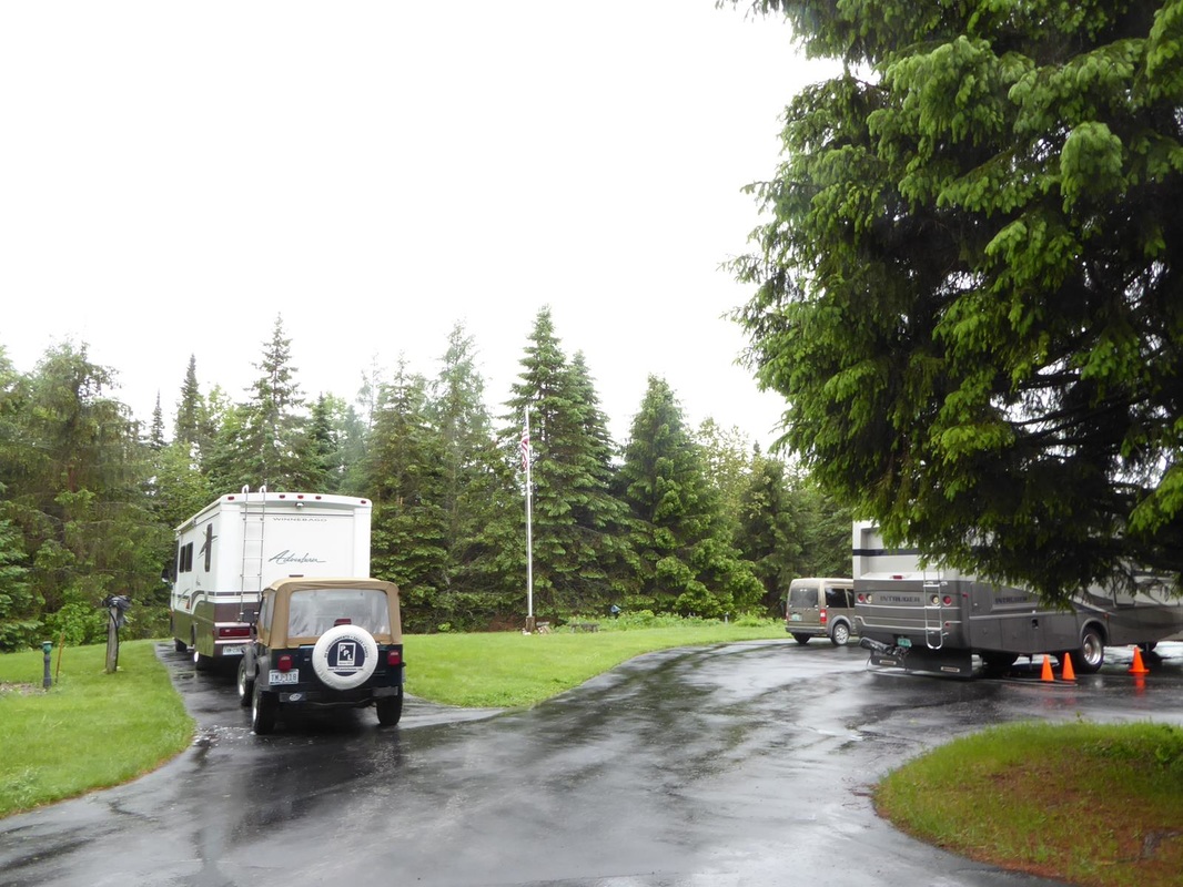
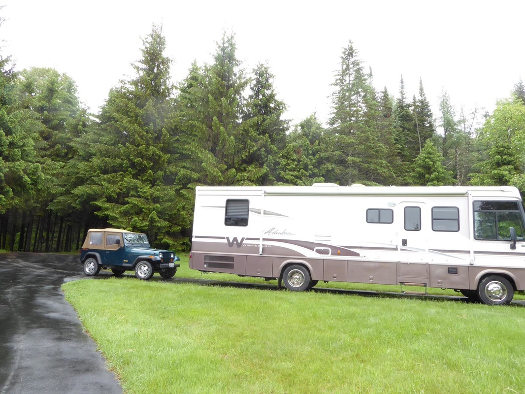
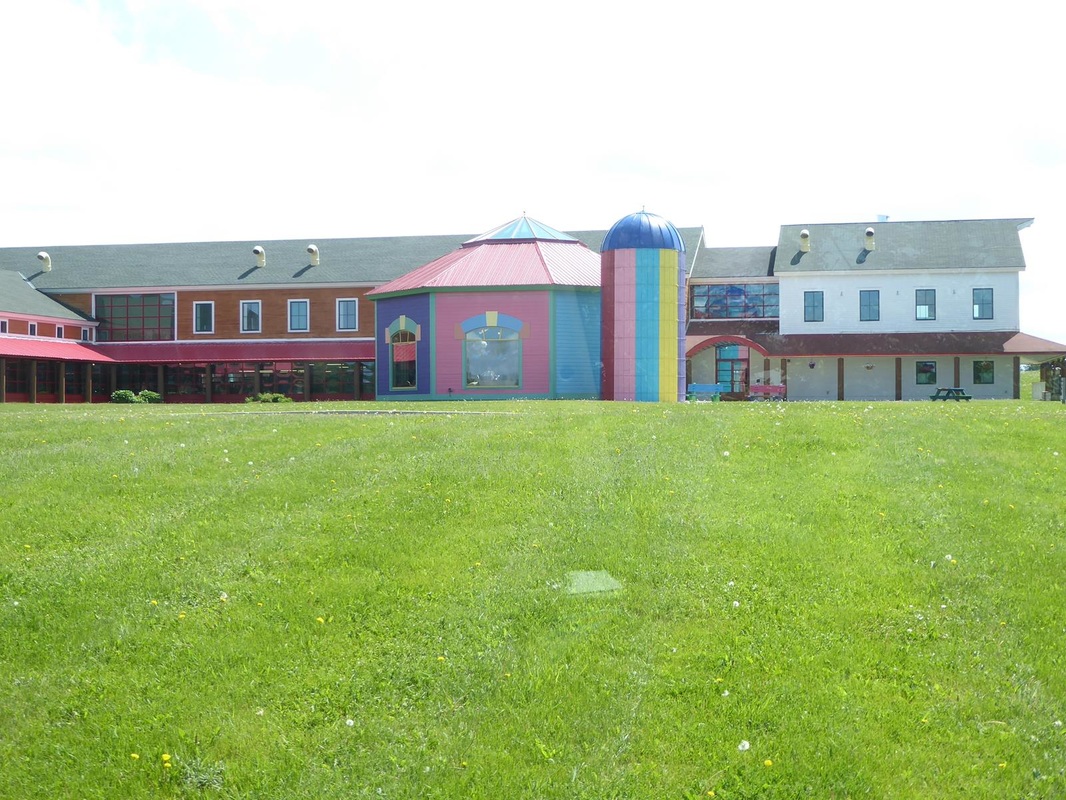
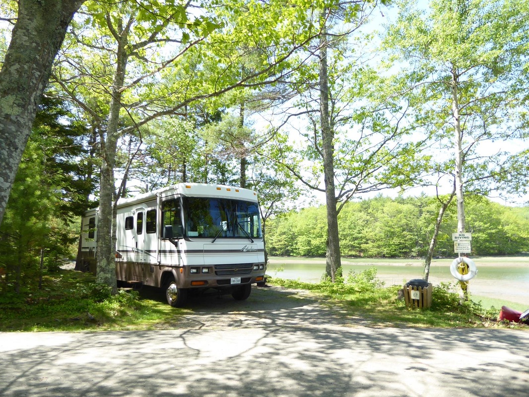
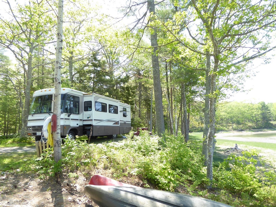
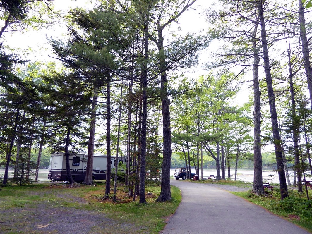
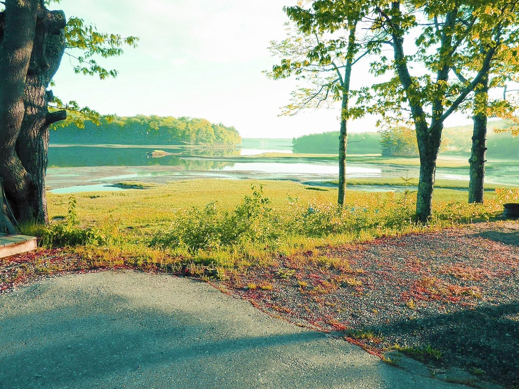
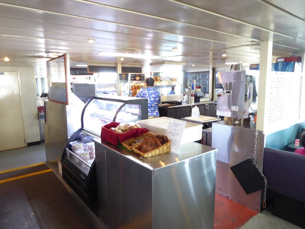
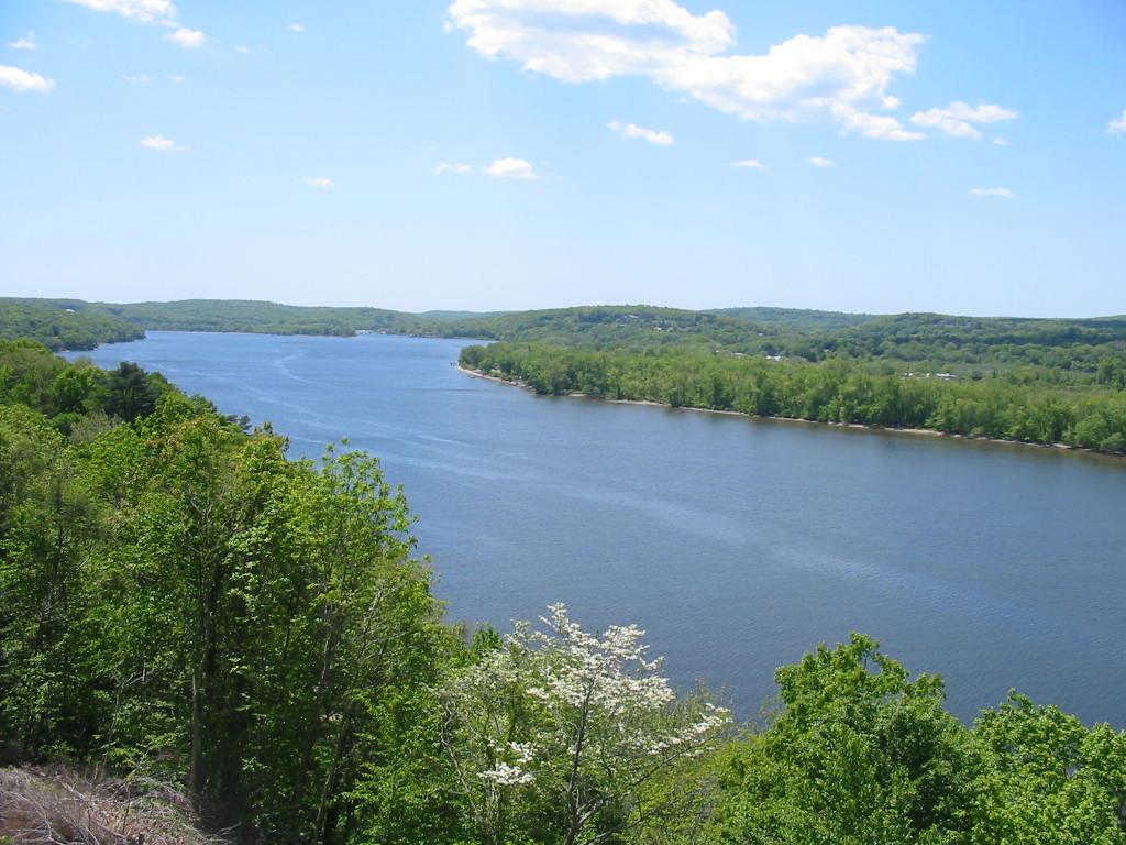
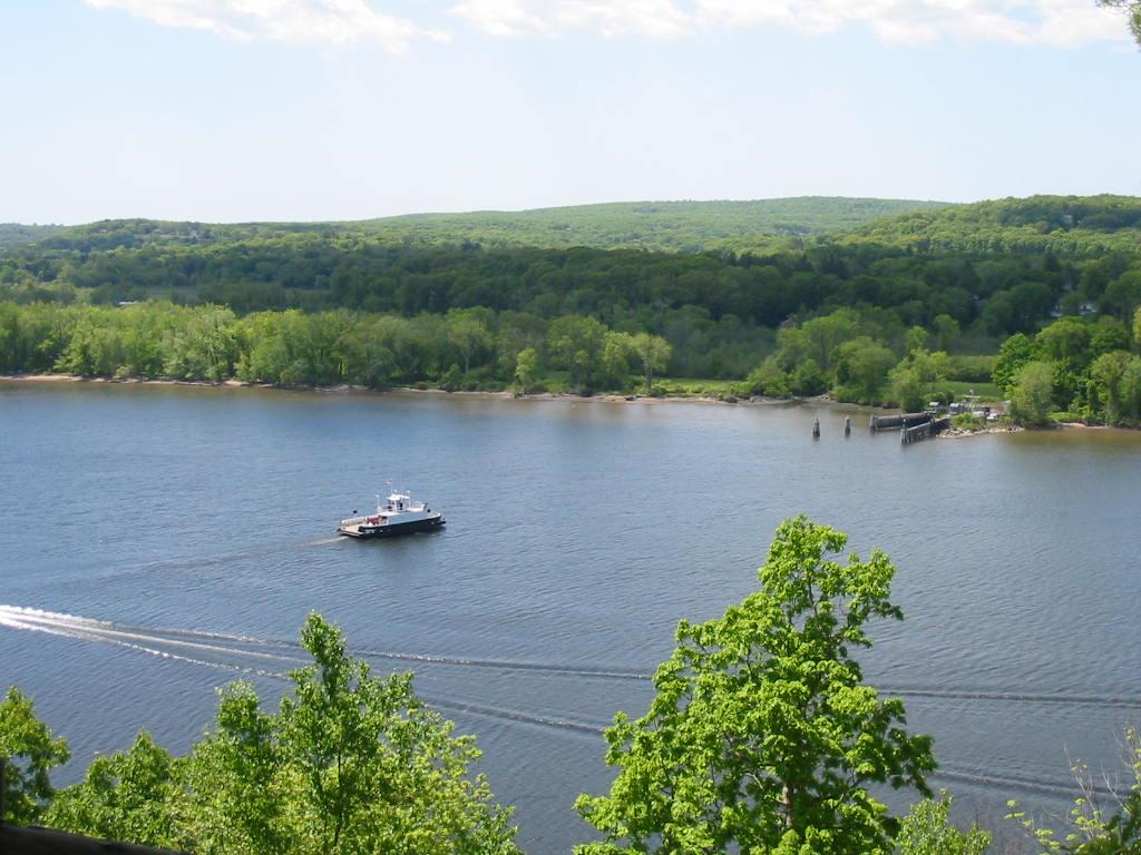
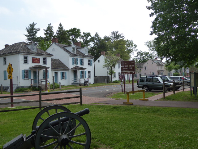
This last week we have been visiting Mary Lou's relatives. The roads are good and wide, the countryside is relaxing. 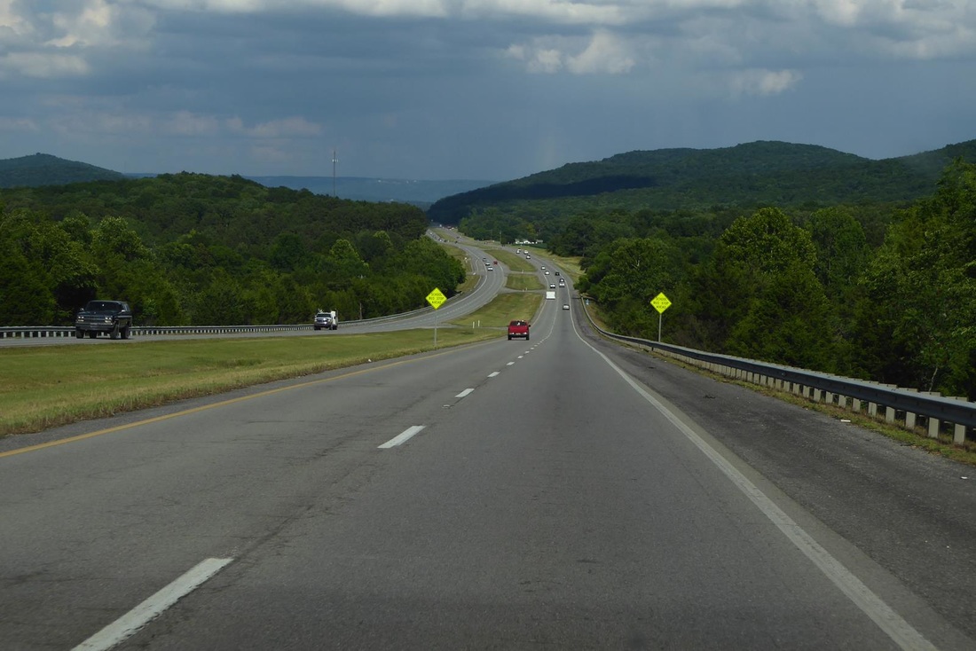 We have been shown the legendary Southern hospitality by all. First was a cousin's home near Knoxville, Tennessee, a cozy log cabin on a secluded hillside. He has some classic cars. Next was a cousin in Cookeville, Tennessee. He also has a classic car. And finally several days with siblings in Huntsville, Alabama. The campground is associated with a marina on the Tennessee River. There was lots of good home cookin', and several domino sessions. There was a reunion for Mary Lou's father's side of the family. Uncle Dick, at age 96 is the last member of his generation. 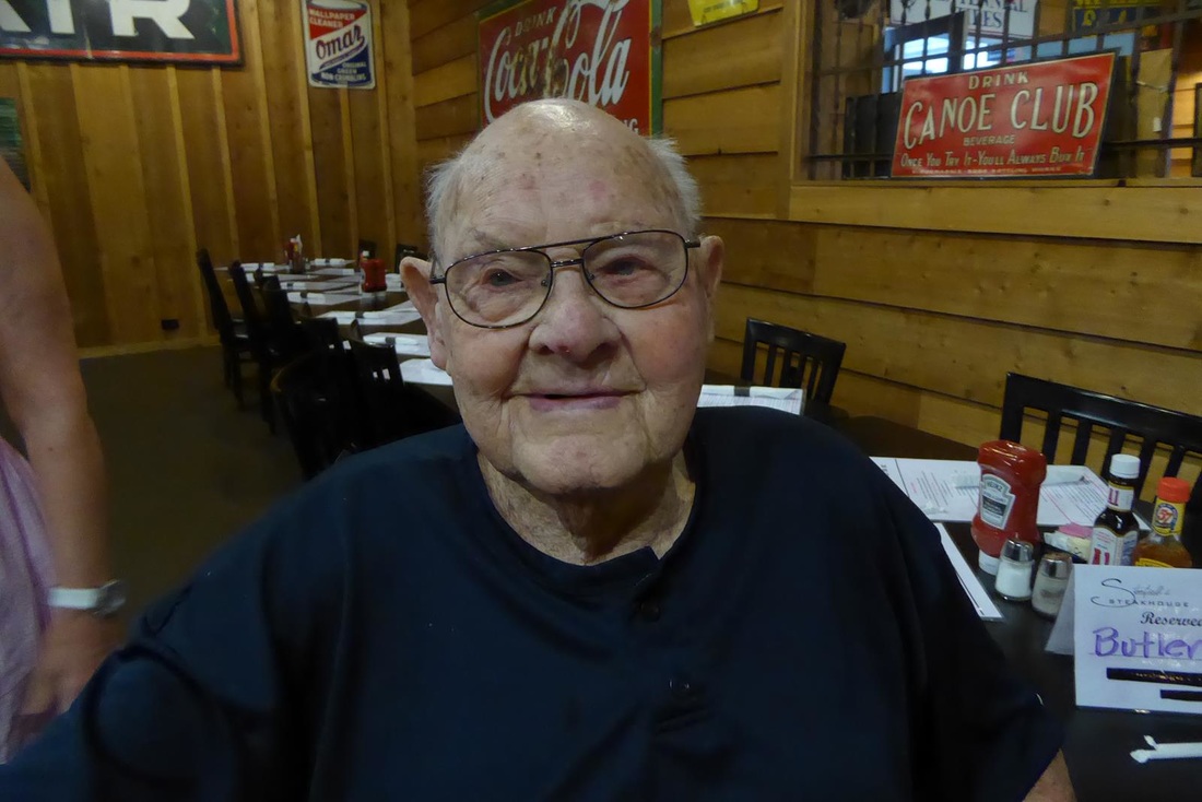 Reluctantly we said goodbye and headed toward home. After all, visiting relatives are like fish. After about 3 days, they begin to smell. We had no more attractions, but we did stop at the visitor's center for the Vicksburg National Military park. We have toured this park, but ML now has a 'National Park Passport' book where she can collect stamps (the kind using an ink pad) from all the National Parks. We have been to many before we had the book, so now we are trying to catch up. Anyway, Vicksburg is on a high bluff overlooking the Mississippi River and therefore a very strategic location militarily. Whoever controls the town controls the flow of river traffic. Initially the South had the city during the Civil War. The North knew if they controlled the river, it would divide the South, preventing resupply of their armies east of the Mississippi. General Grant made several attempts over several days to capture the town, but the southern general, John C. Pemberton and his army held out each time. Finally Grant decided on a 'siege', which means surrounding the town and cutting off supplies. After seven weeks, the soldiers and even the townspeople were starving and sick, so Pemberton surrendered the town. Along with Gettysburg, this was one of the most significant battles of the Civil War. I bring all this up because when we got there, they were doing a re-inactment of firing a cannon of the day. We missed the cleaning of the bore, tamping of the powder, etc., but we were there for the boom and the smoke. Because of the bridge structures over the Mississippi, it's difficult to get good pictures of the mighty river, but it's a big river. 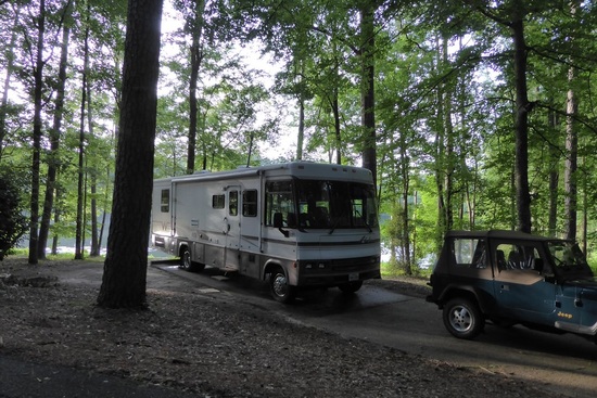 We had a nice campsite at a state park in Mississippi. And again at a Corps of Engineers park on Lake Sam Rayburn in Texas. Many of the campsites were flooded due to the high water. We are making stops in Shreveport, LA, and Jasper, TX, to visit old friends, but once again, we are coming to the end of the trail. As usual, we have experienced the great beauty of this country and stood on the hallowed ground of the great struggles of this country, the American Revolution and the Civil War. We have marveled at the great structures built by people with vision and dedication. We have been blessed with good weather and safe travels, coming through the traffic unscathed (well, we were 'scathed' once - clipping the passenger side mirror on a concrete wall going across a narrow bridge over a dam - that dam wall!). Today we will be home, after 7 weeks, 5500 miles (not all forward progress, however), and visiting 22 states. We love living and traveling in our RV and could go on and on, but it's nice to have a home to come back to. Thanks to those who have 'traveled' with us. We hope you have enjoyed it as much as we have. We have now covered all the states (lower 48) in our RV and will have to double back on future trips, probably out west. So until next trip, stay tuned. 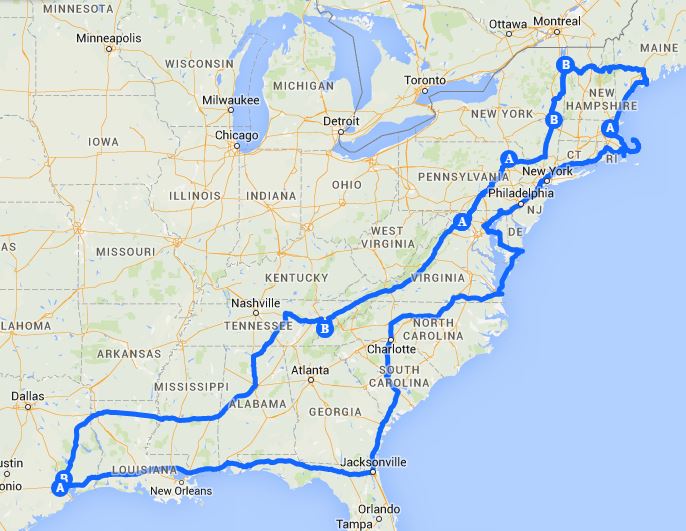
5 Comments
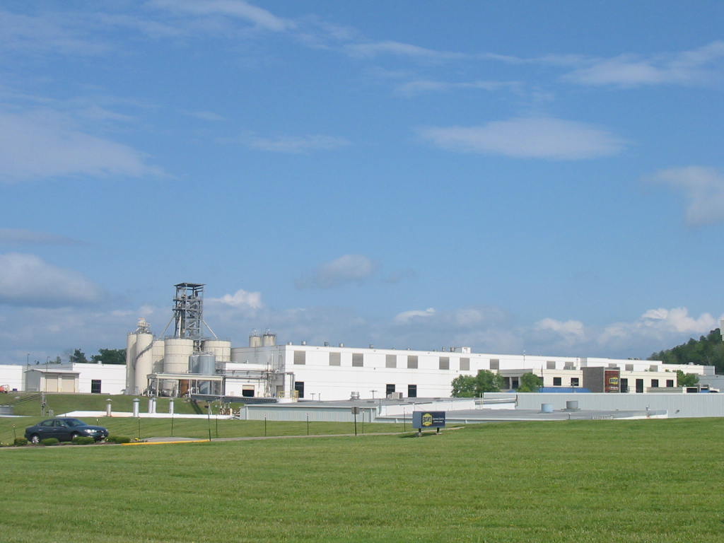
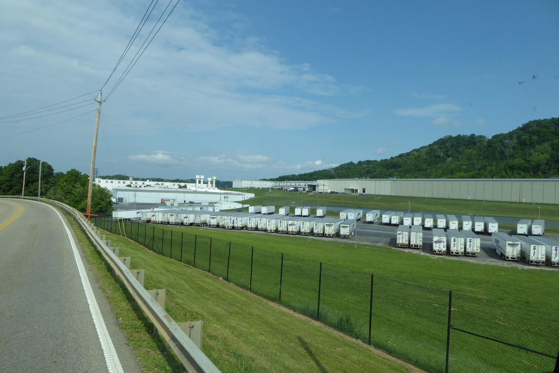
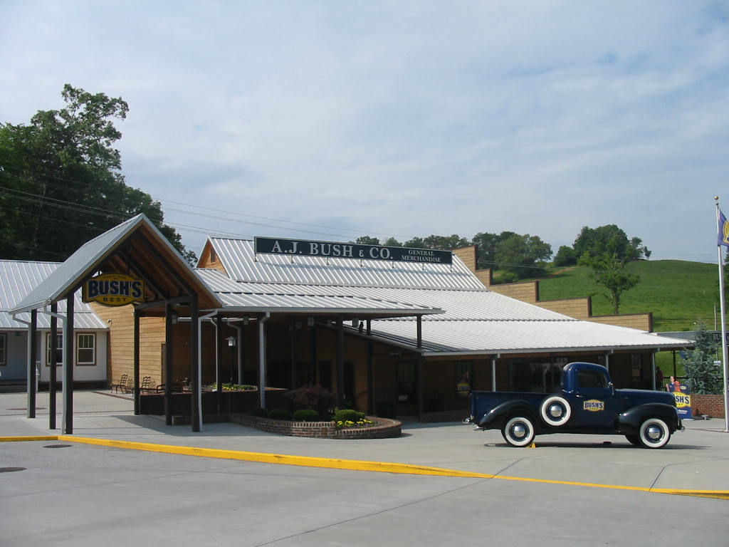
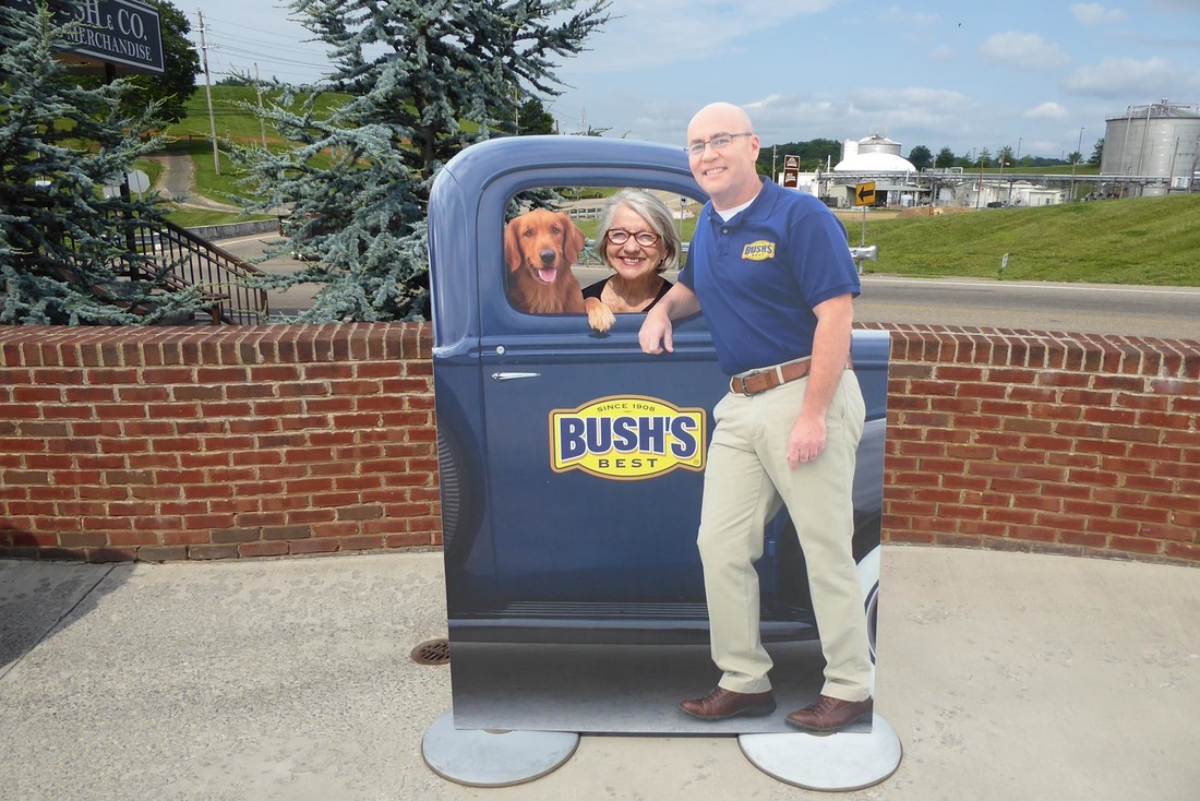
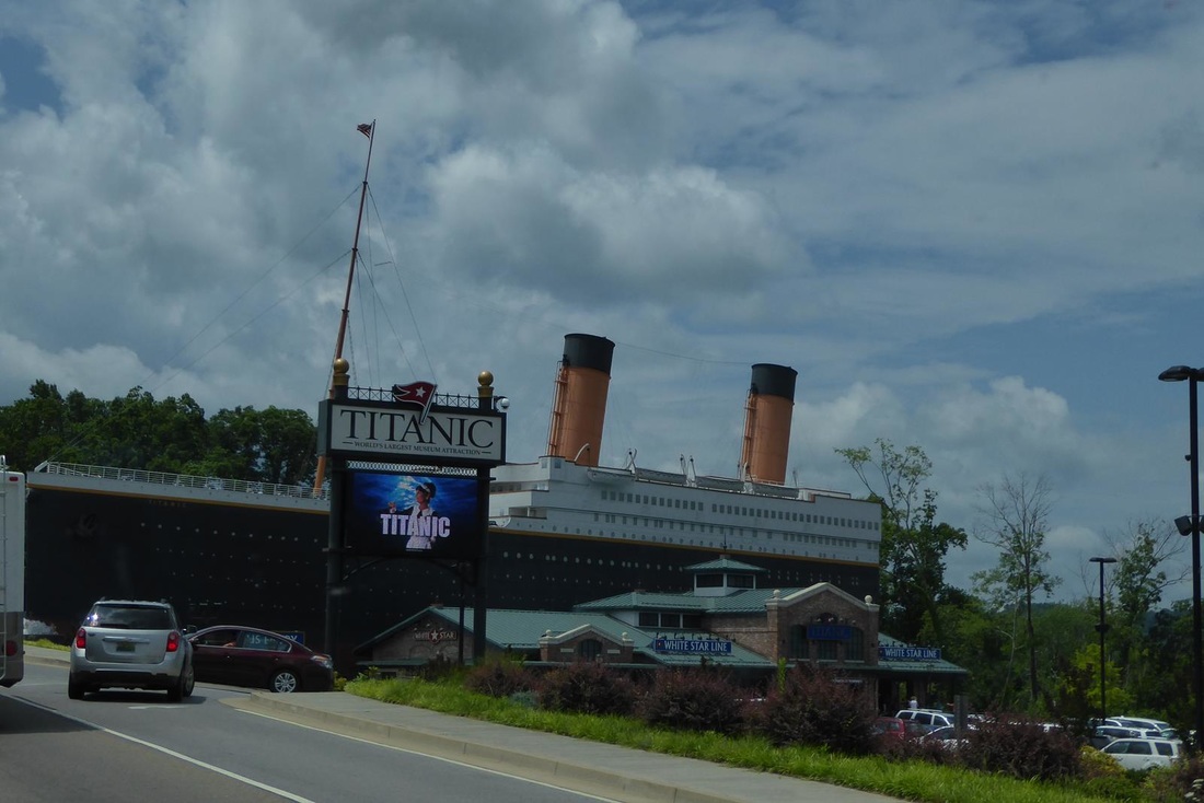
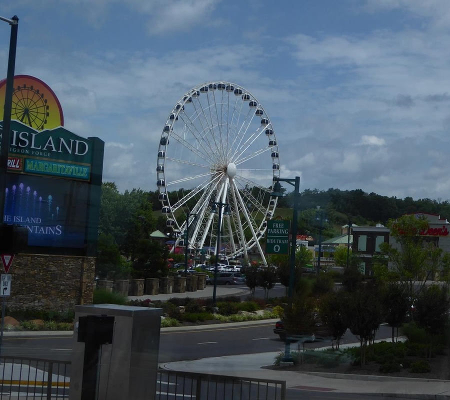
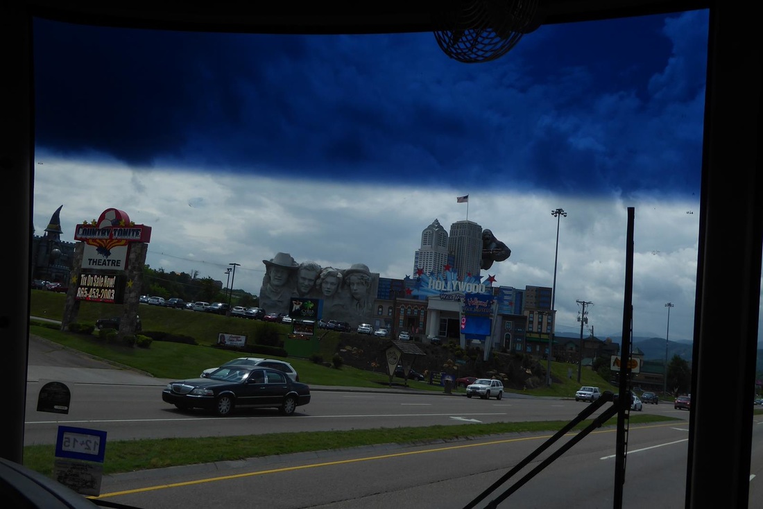
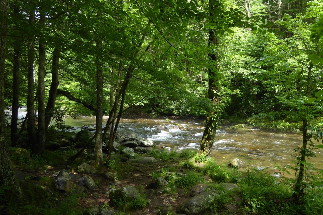
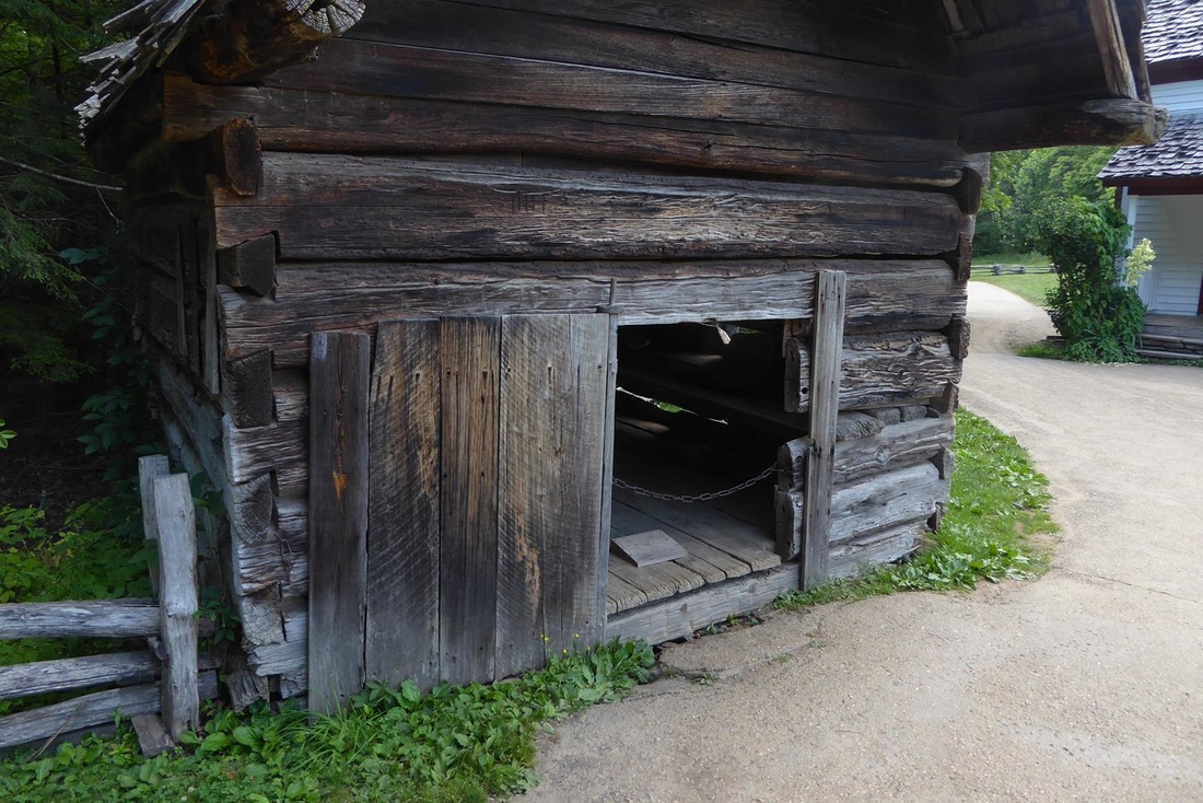
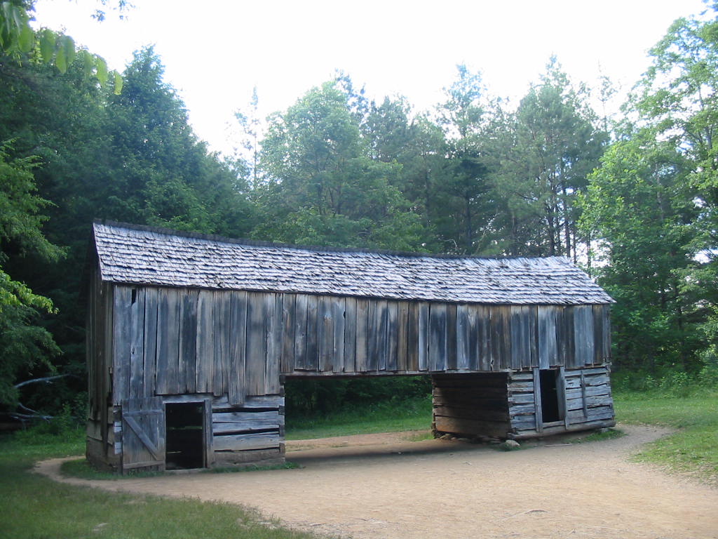
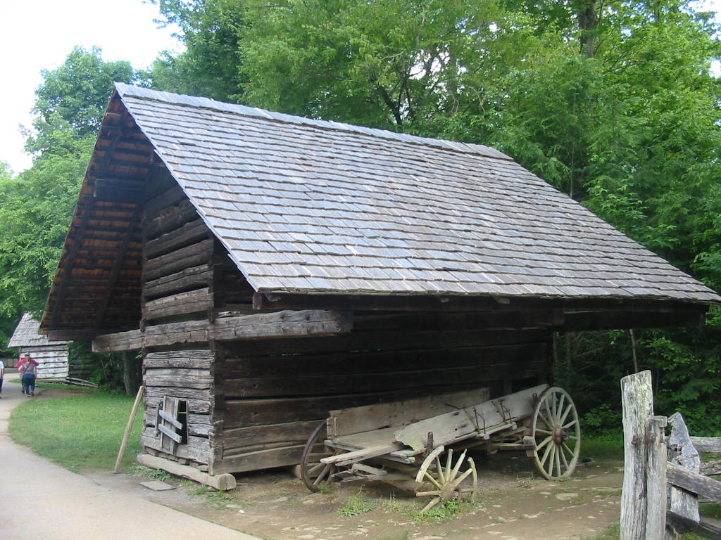
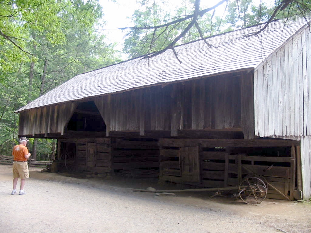
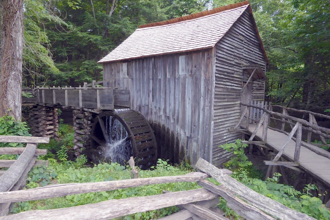
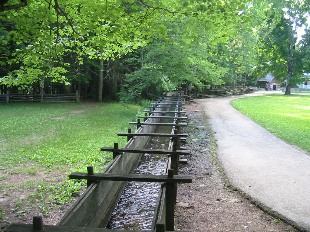
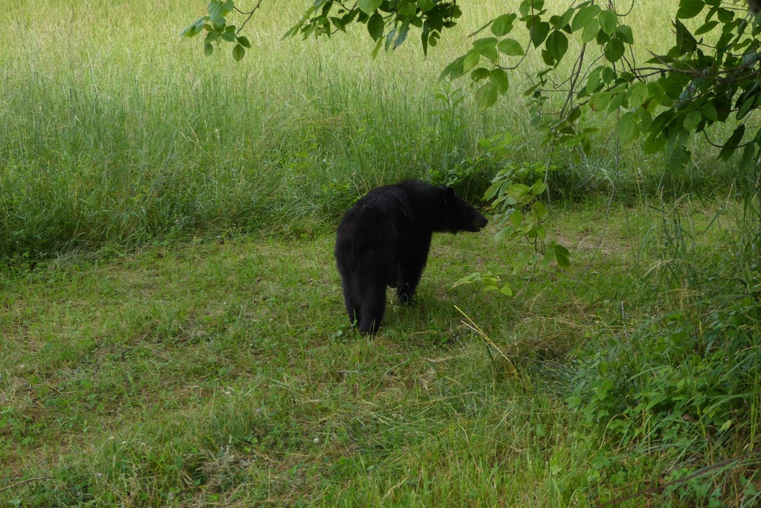
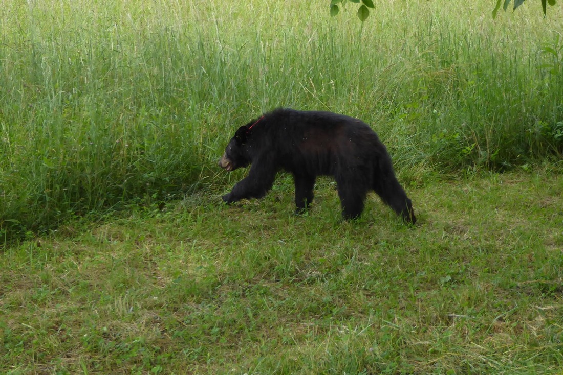
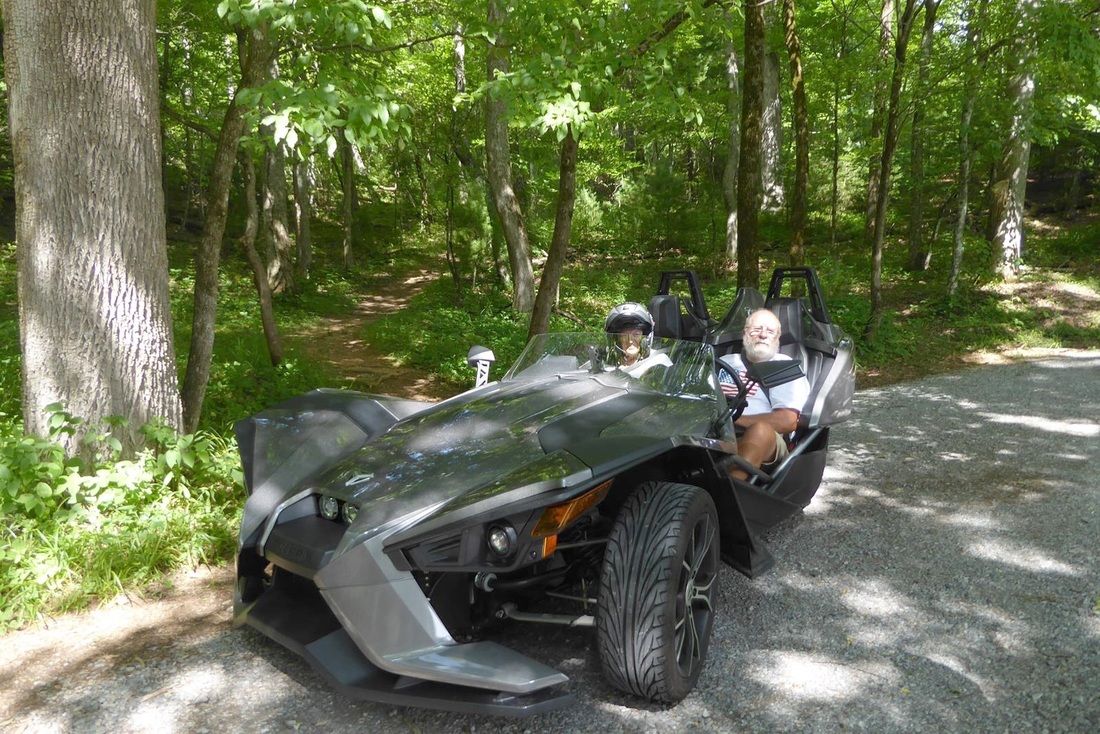
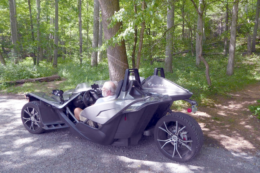
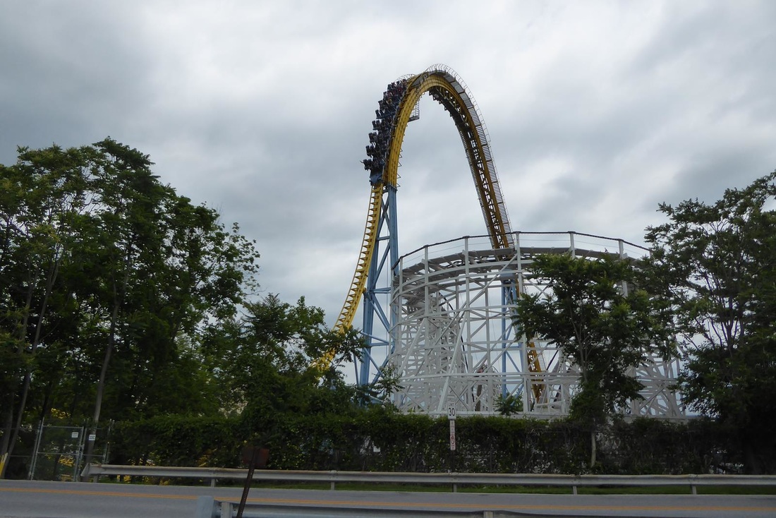
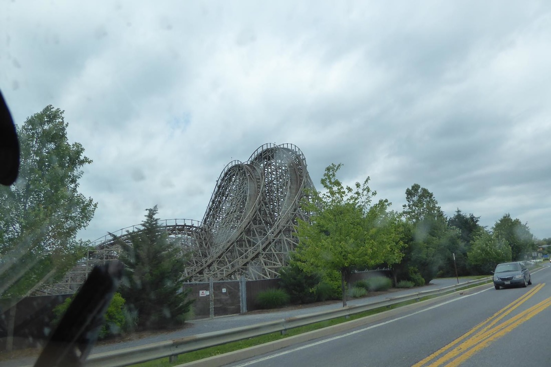
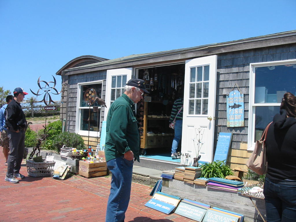
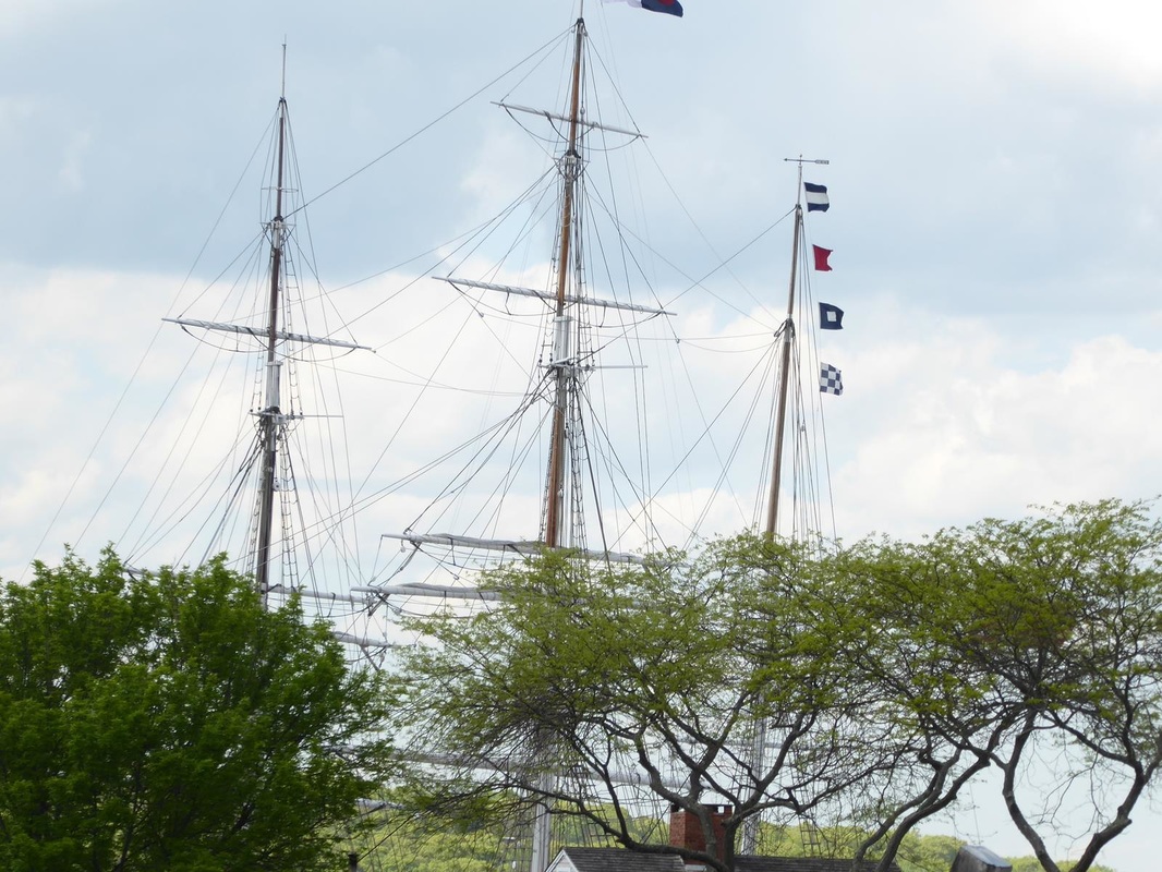
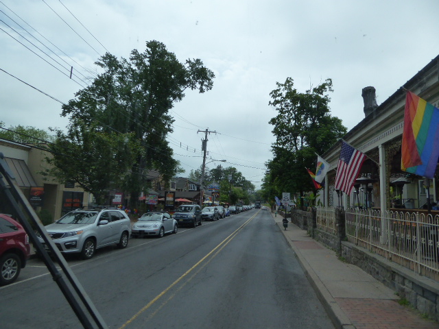
We headed south thru the Virginia countryside and as soon as we entered East Tennessee (Tennesseeans divide their state into east, middle, and west sections) we noticed a distinct change in accent. And we thought people in Boston talked funny! In the middle of nowhere, we came upon this very large facility. Actually it was our destination or we wouldn't have been in the middle of nowhere. This is where Bush Beans are processed and canned. (I don't know how ML comes up with these places!). This has been a family-run business since around 1908, and there is obviously enormous family pride still today. The dog Duke is an integral part of the family business. See ML with her new friends? We had hoped to be able to tour the plant, but like Hershey, all we got was a movie tour which showed the process of bean canning from field to store and a lot about the family history. Anyway there was a small museum which was interesting. 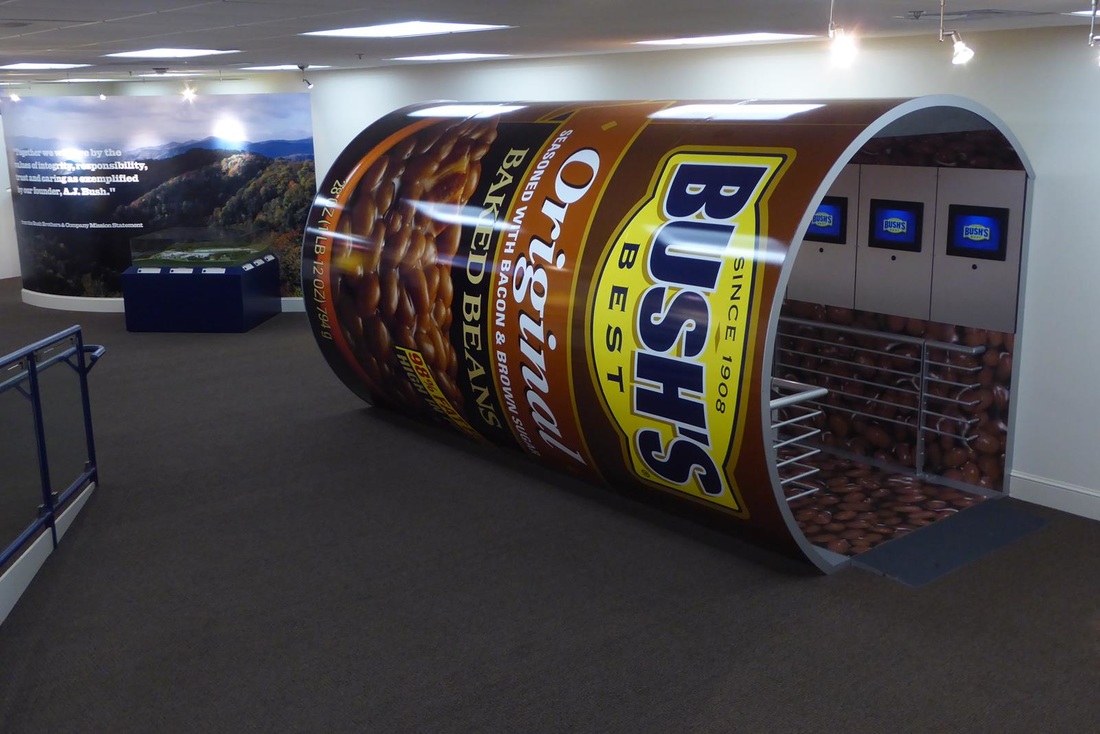 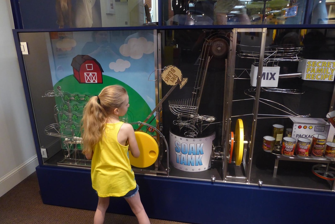 A cute hands-on model of the 'bean canning' process for kids of all ages. 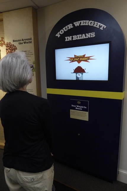 And a scale to measure your weight in beans. So ML weighs 99,840 beans. So next time you see Bush Beans in the store, you now know 'the rest of the story'. Moving on down the road, our next destination was Cade's Cove in Great Smokie Mountains National Park. This was another of ML's goals, having been there many years ago. To get there we had to go through Pigeon Forge and Gatlinburg. We chose a campground in Pigeon Forge, which is the home of Dollywood. The town itself is a major tourist destination with many attractions which are also in Branson, Missouri, like those below (That's King Kong on the right). Click to enlarge. Ever the realtor, Mary Lou thought about getting a new listing (That's an upside down house). 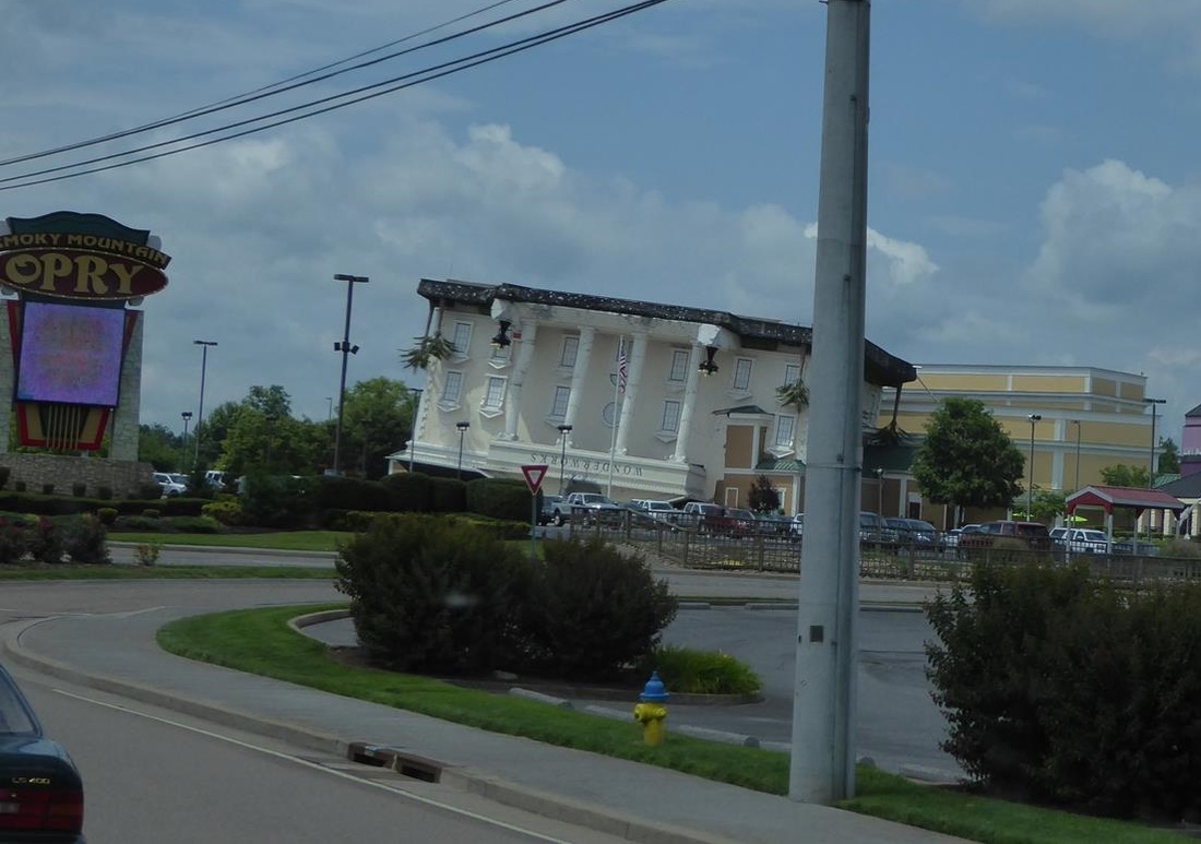 Traffic in Pigeon Forge was horrendous, and not a destination we care to go back to. If you have kids, it might be fun. Anyway we jeeped into the Great Smoky Mountains to Cades Cove. To get there the road follows a scenic river for much of the way. (Although inviting, we dared not fish there - inside joke!) "Cades Cove is a broad, verdant valley surrounded by mountains and is one of the most popular destinations in the Great Smokies." And more, "The first Europeans settled in the cove sometime between 1818 and 1821. By 1830 the population of the area had already swelled to 271. Cades Cove offers the widest variety of historic buildings of any area in the national park." "An 11-mile, one-way loop road circles the cove, offering motorists the opportunity to sightsee at a leisurely pace." Obviously getting lazy, the above quotes are from this website. There's a mill with water wheel, and the sluice to get the water from a nearby stream. Driving the loop around the 'cove' is a place to look for wildlife like elk, deer, and other assorted critters. On other trip wildlife tours, we have seen these things, but this time we finally saw a bear!! It appeared to be a young black bear. Mark that off our bucket list. And finally on our tour we spotted a 'senior' couple riding in this strange machine. Turns out this is made by Polaris, the maker of off-road and other sport and utility vehicles. This one is called the 'Slingshot' and just came out earlier this year. It's rated as a motorcycle and subject to various states' motorcycle laws including wearing of helmets, and requiring a motorcycle drivers license. Really cool. More info here for those interested. ML thinks our map looks like a character on the Simpson's. 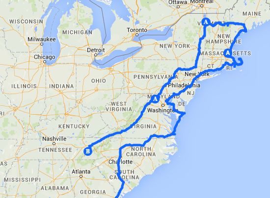 This is the last of the interesting stops on our list of things to do and see. From here we have plans to visit friends and relatives on the way home, so there may be a final report as we near home.
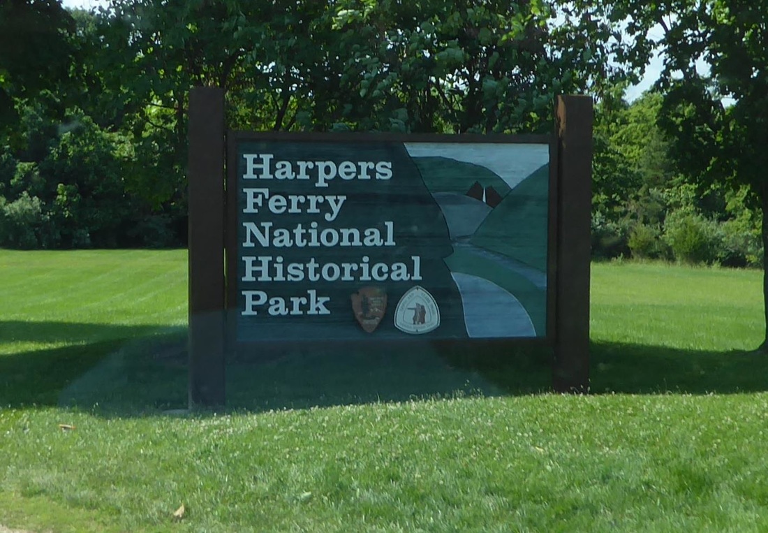
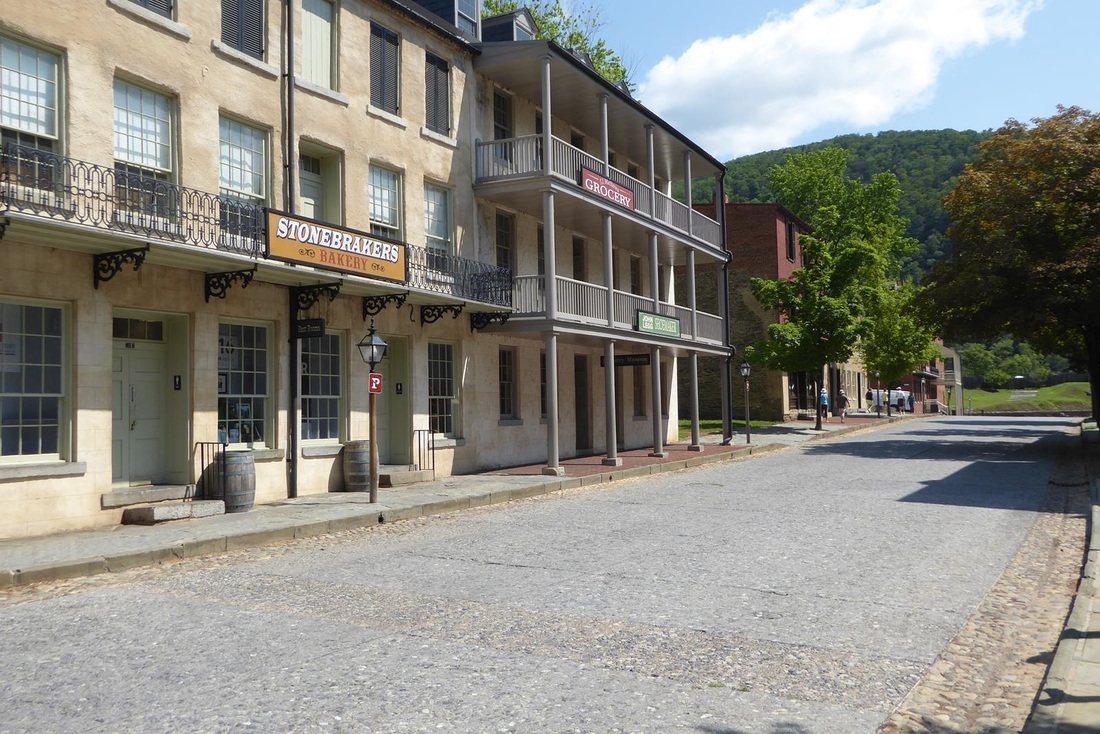
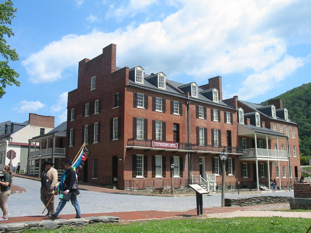
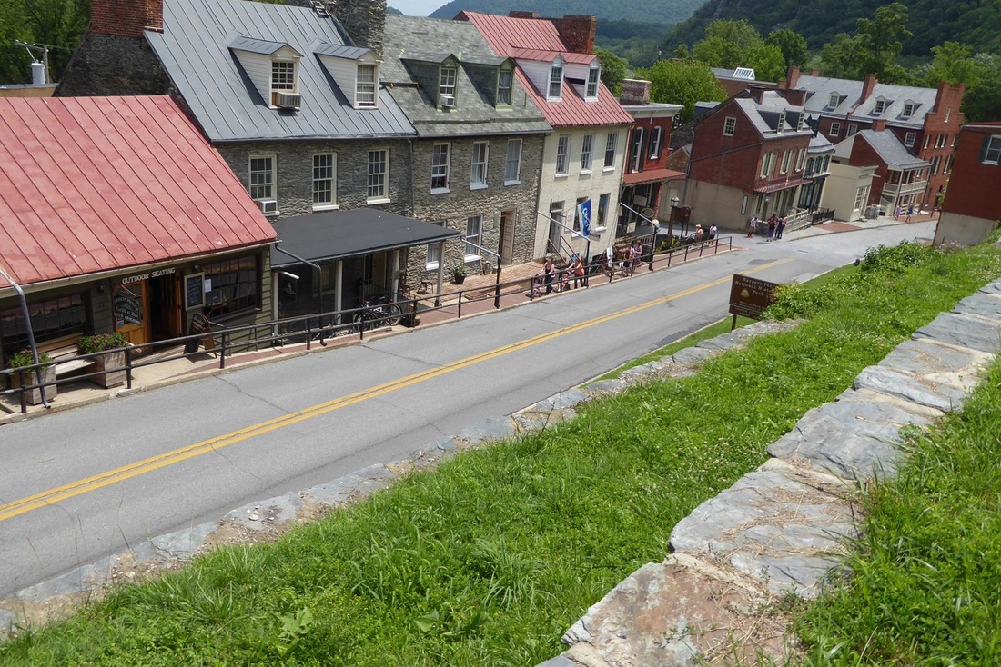
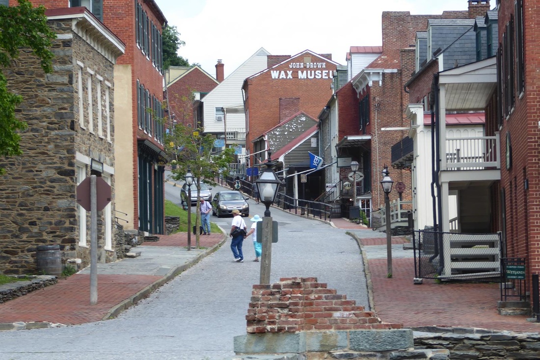
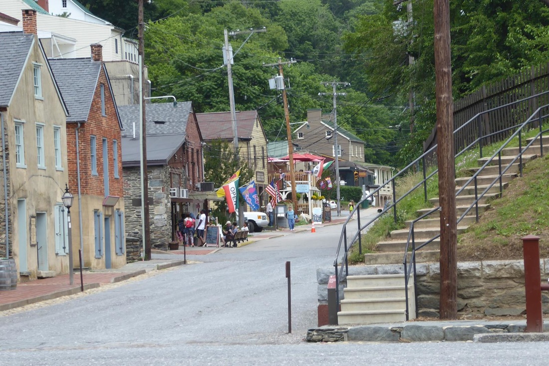
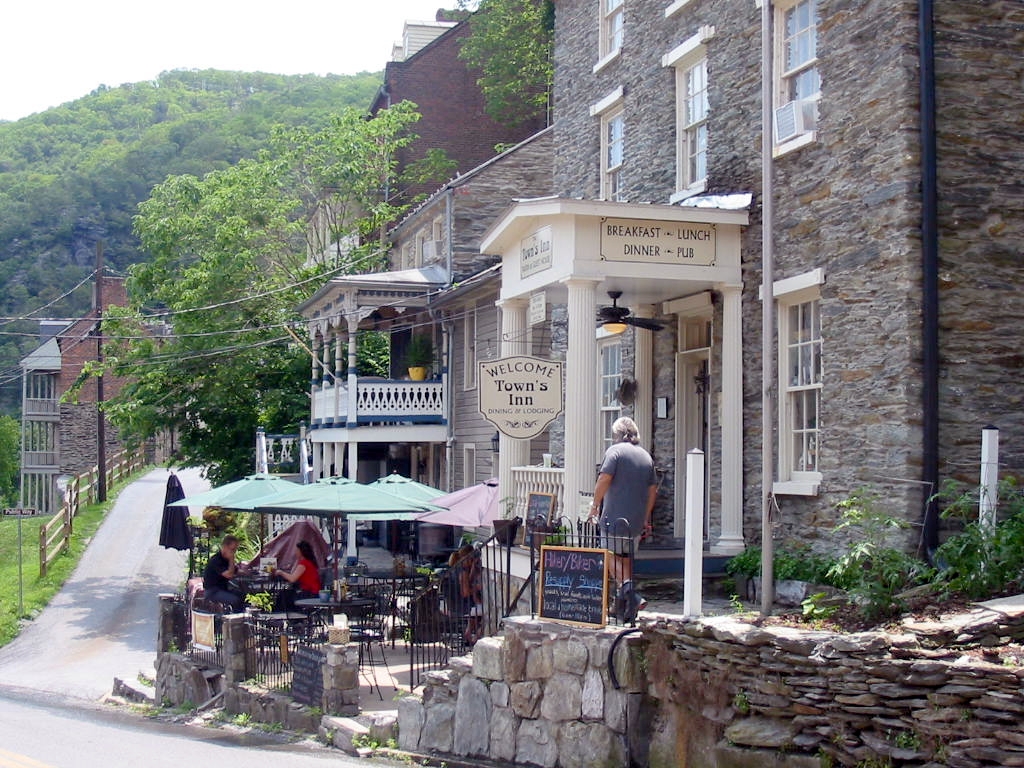
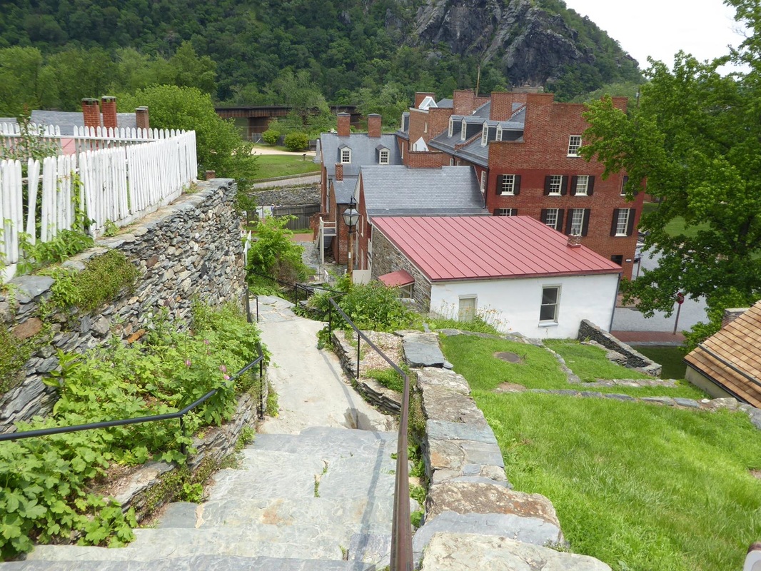
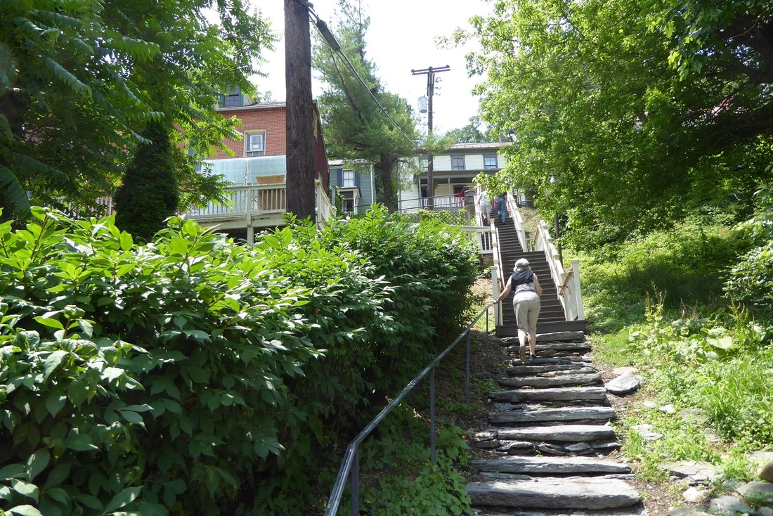
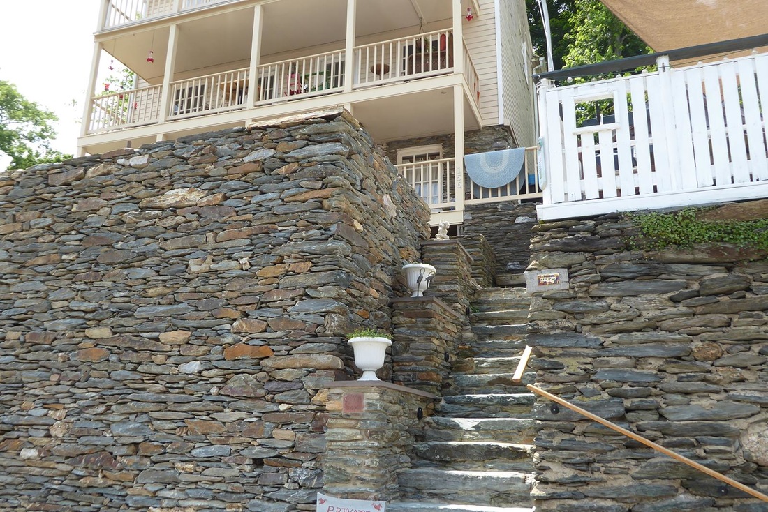
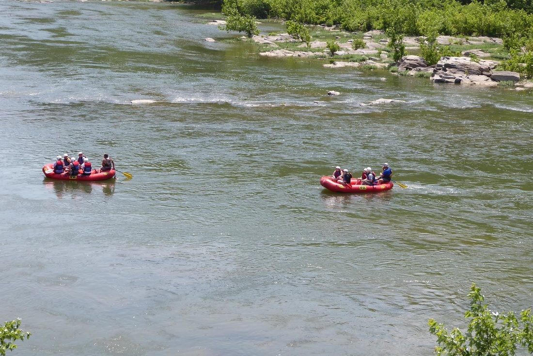
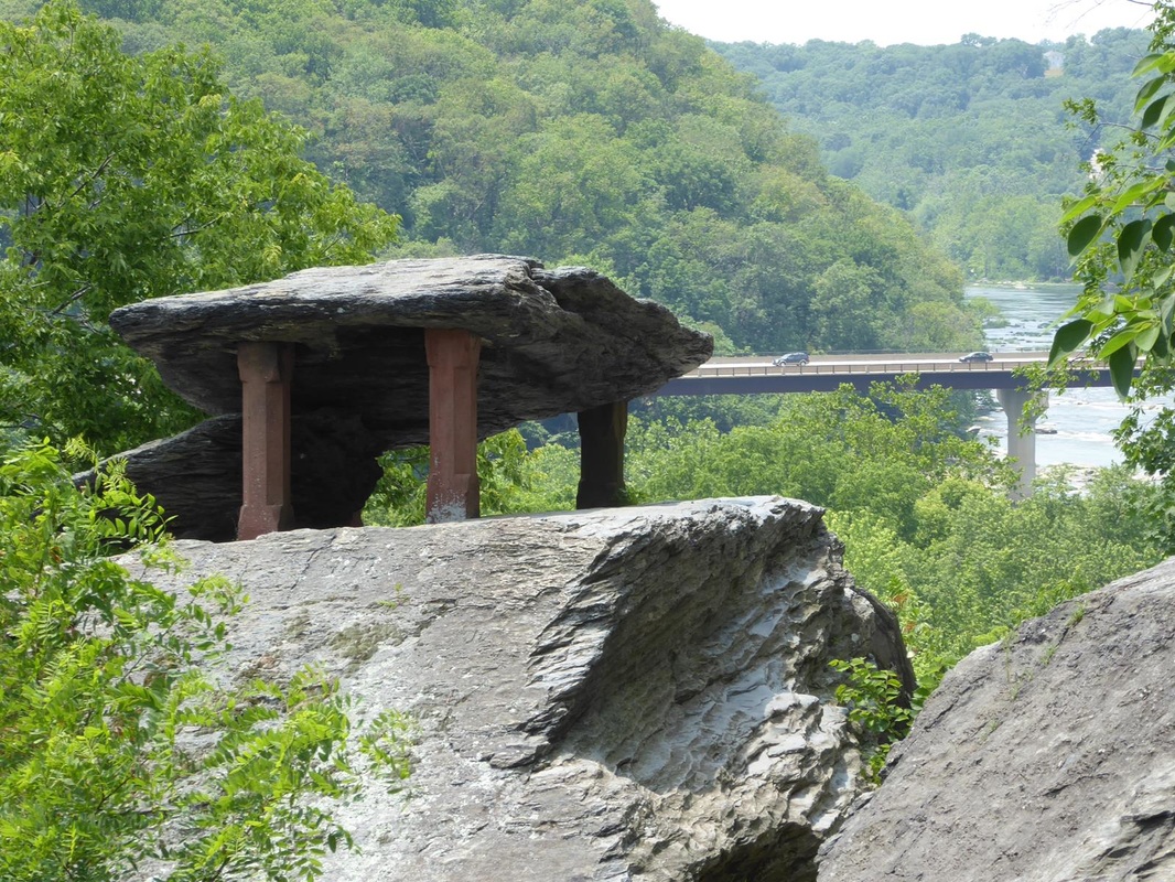
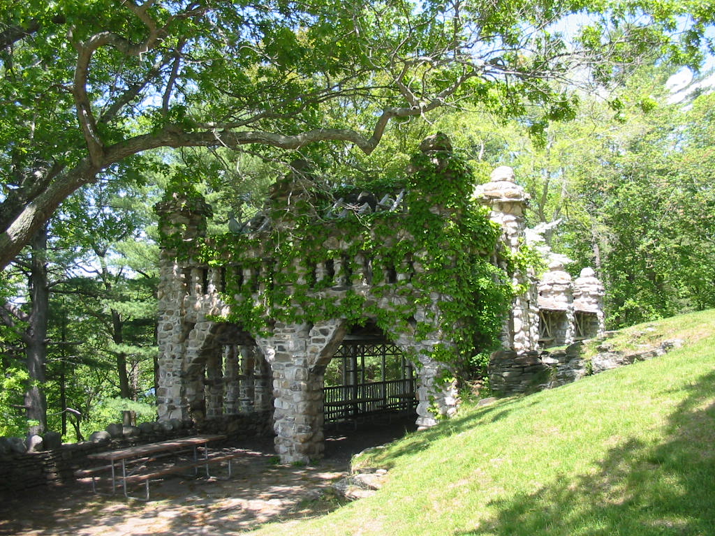
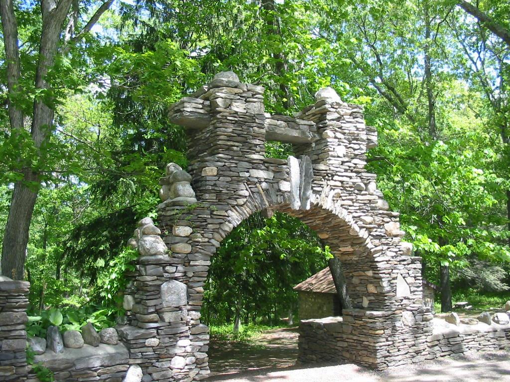
Stay tuned. I promised another historical stop. So here is Harpers Ferry (no apostrophe). It is so named because some guy named Harper started a ferry service across the Potomac River here in 1761. (Duh!) The town is just inside West Virginia from Maryland, and therefore completes our quest of RVing in all the lower 48 states! The town is on a point where the Shenandoah and Potomac Rivers come together and the ferry to the Maryland side of the Potomac was for the settlers heading to the Shenandoah Valley. 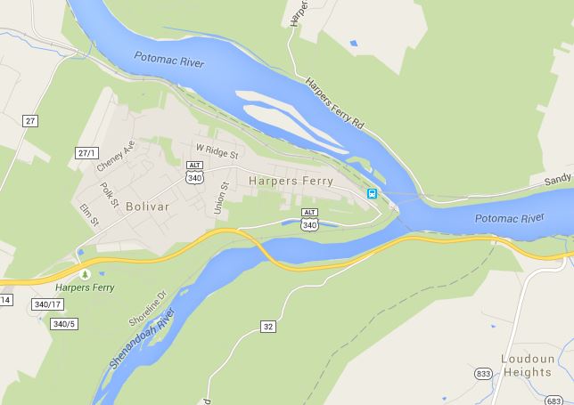 The town itself is very picturesque. I took these photos from the internet. 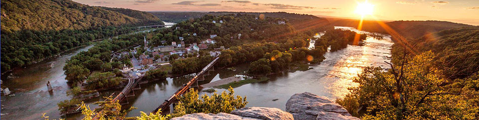 The buildings on the lower part of the town are National Park museum-type attractions while higher up the hill the actual town begins. The town has been, and still is, subject to major flooding. 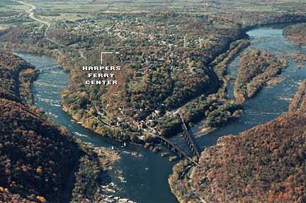 Up the hill are touristy shops and tiny little restaurants with colorful umbrellas. Most are rather hidden as they front on the street about 12 feet or so, making them very narrow but fairly deep. (click to enlarge) Other pics from around the town. George Washington selected the town to be a major armory to manufacture arms and between 1801 and 1861 it produced 600,000 muskets, rifles, and pistols. It was destroyed in 1861 to prevent capture in the Civil War. There is an Amtrak stop here, making it a convenient stop for tourists. It's a neat place to visit. While there had been an automobile bridge across the Potomac, now there is only a railroad bridge and a walking bridge. The walking bridge is part of the Appalachian Hiking Trail which extends approximately 2200 miles from Maine to Georgia. We saw a couple of guys who were hiking a portion of the trail, and another guy who was hiking the whole thing. He had started in April and figured he had another month and a half to go. 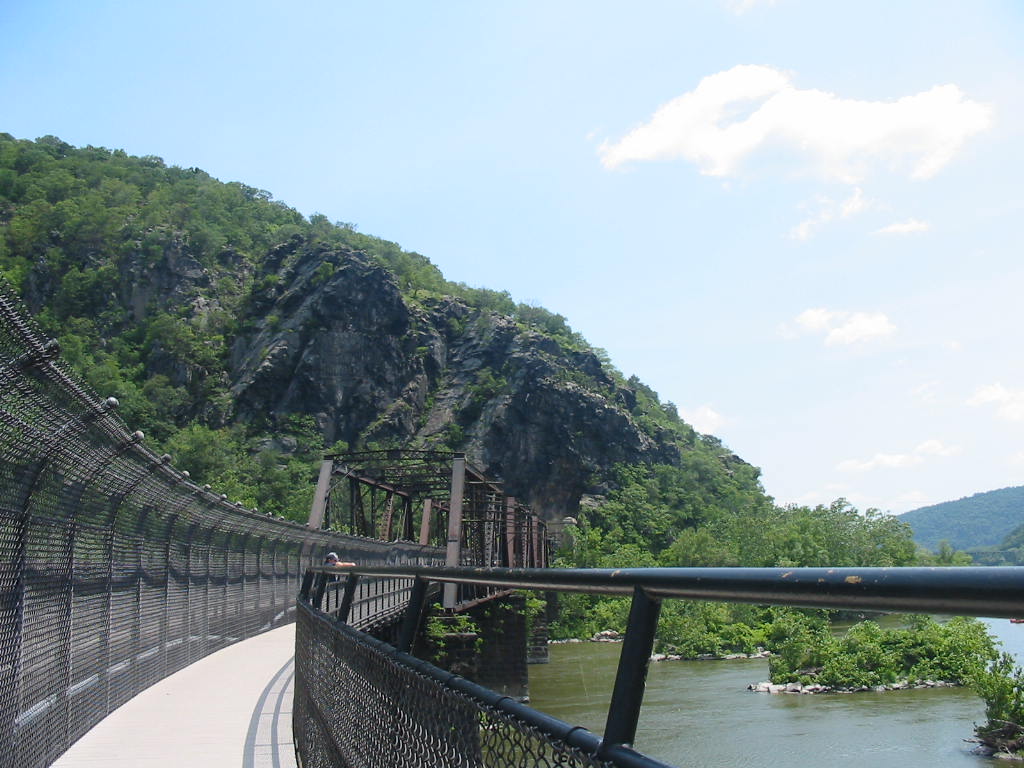 Moving on down the road, we stopped at a campground in the tiny town of Edinburg, Virginia. We were on the bank of a little river. 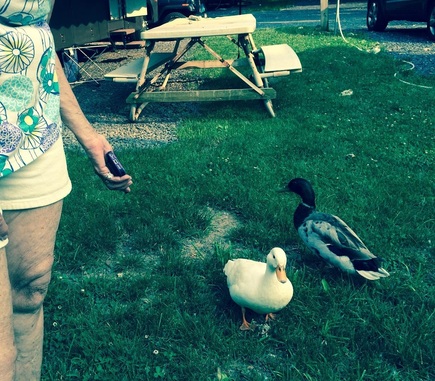 ML's sound on her phone for incoming texts is the sound of ducks quacking, so she was 'talking' to her new friends. A couple of boys came down to fish. They said their summer plans were to work and fish. We were impressed that they were not doing video games or other non-productive stuff. This is a 'Mayberry' type place where boys can be boys. I kinda expected to see Andy Griffith and Opie come strolling by. 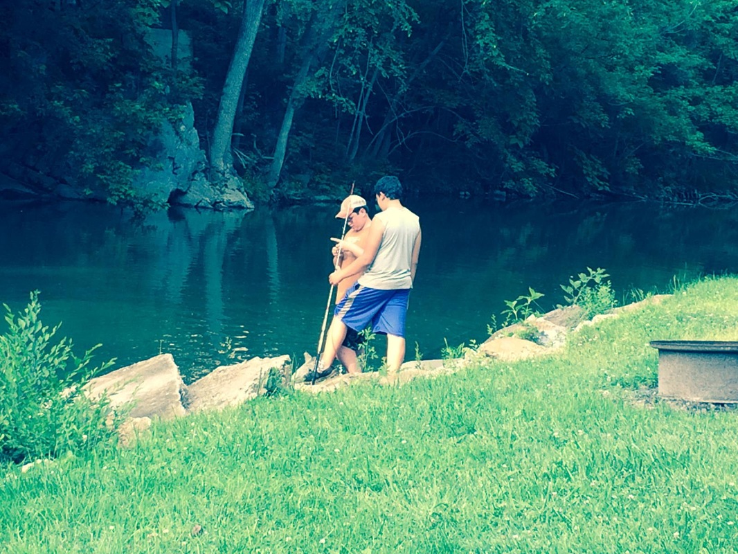 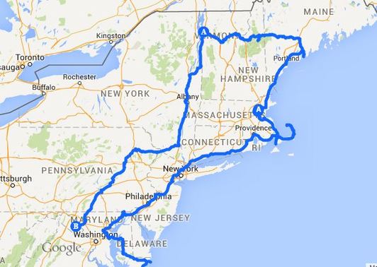 Here's a map of recent progress. Stay tuned.
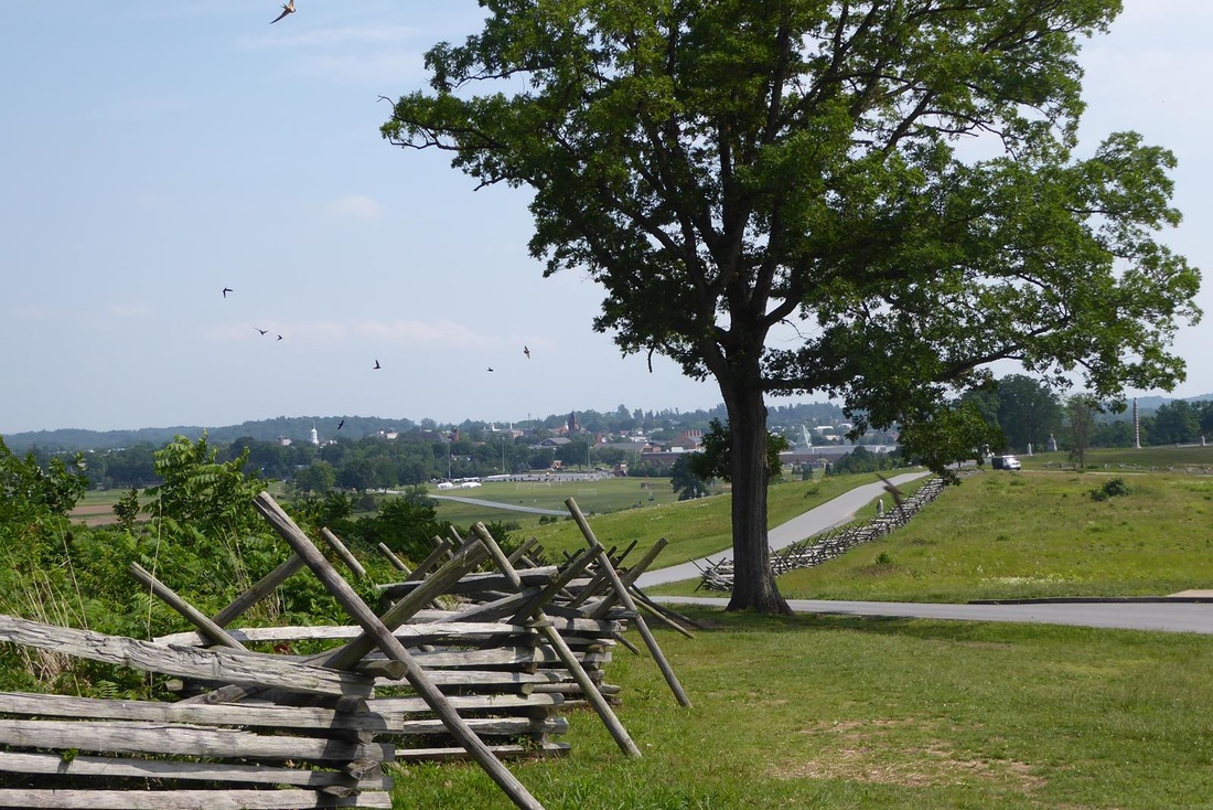
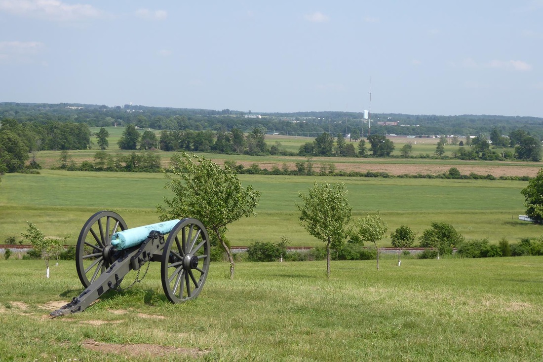
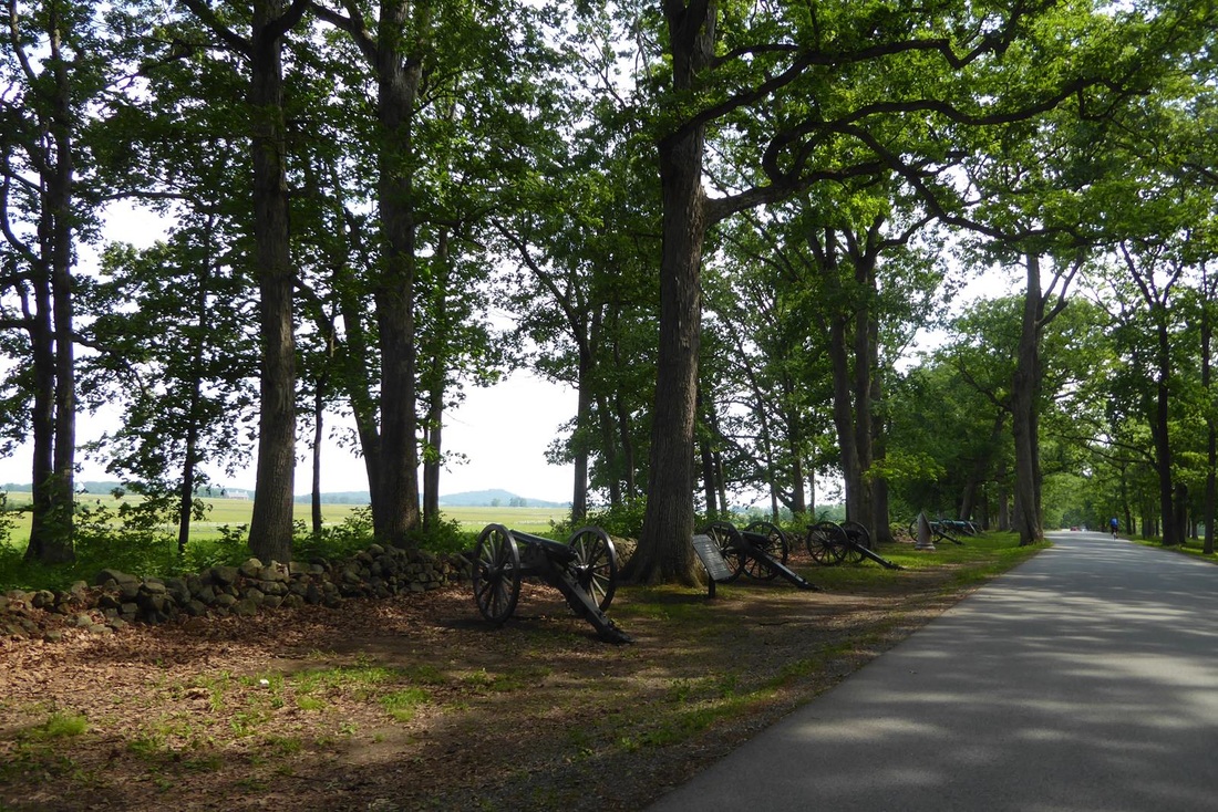
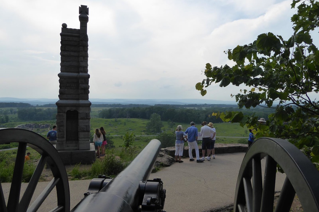
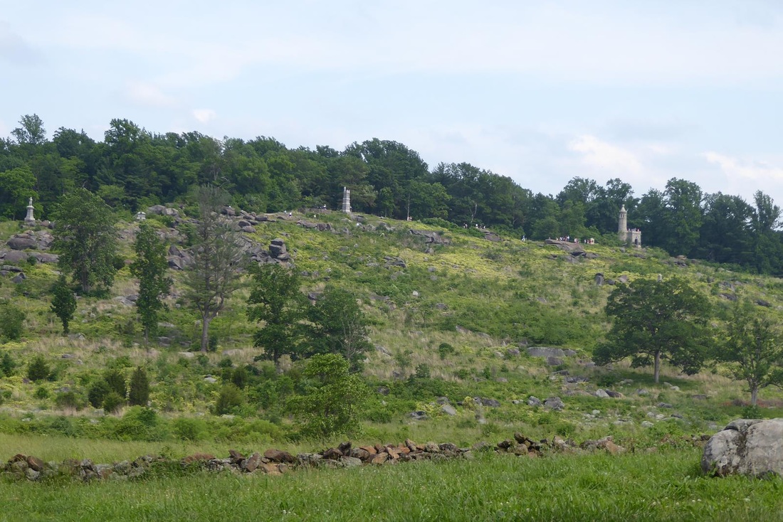
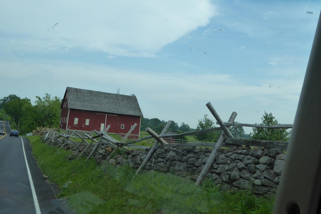
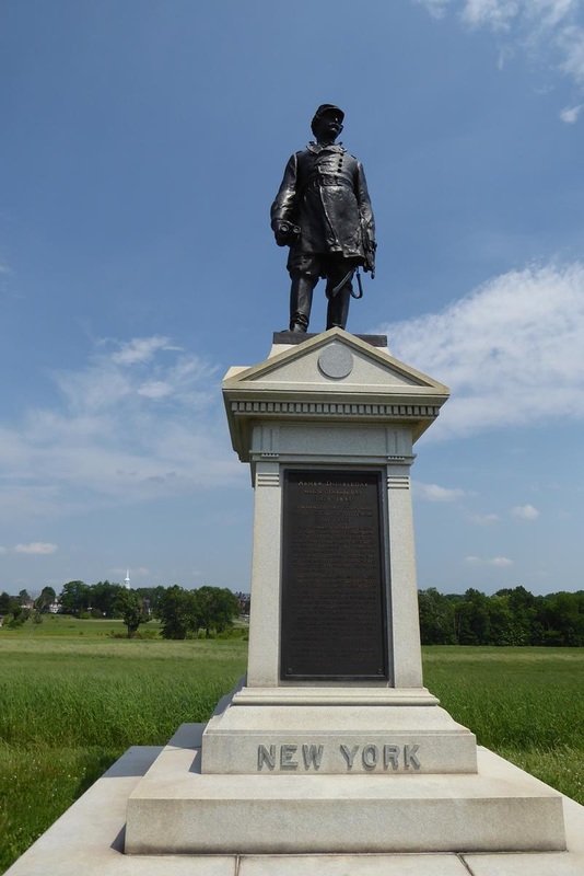
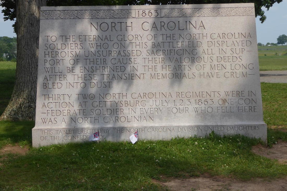
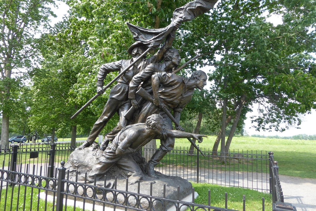
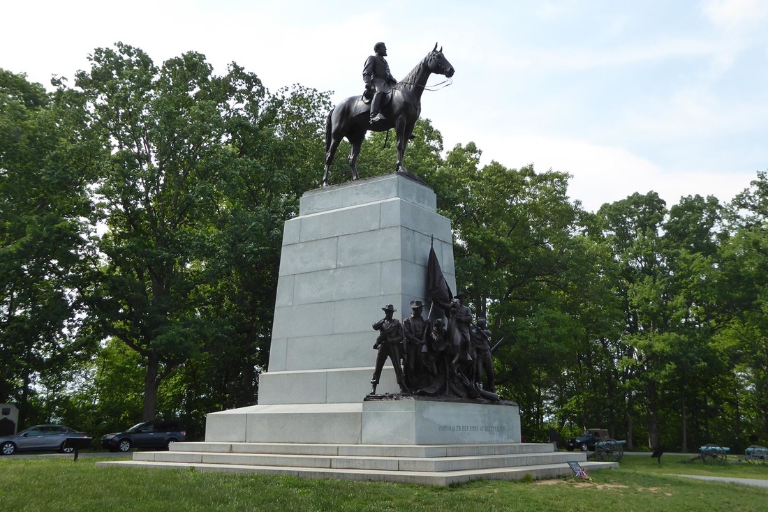
Visiting the Civil War battlefield at Gettysburg is a sobering experience. This was the South's northernmost advance and the Union was concerned about the proximity to Washington, D.C., therefore determined to halt Lee's forces at all costs. The South lost the 3 day battle and it became known as the 'high water mark' of the Civil War. The South was never again a serious threat to the Union. Quoting from a Park brochure: "When the armies marched away from Gettysburg they left behind a community in shambles and over 51,000 soldiers dead, wounded, or missing." It took months to 'clean up'. A few months later, President Abraham Lincoln gave his famous Gettysburg Address here. The National Park here is awesome. At the Visitor Center there is an informative film, the 'cyclorama', and museum. 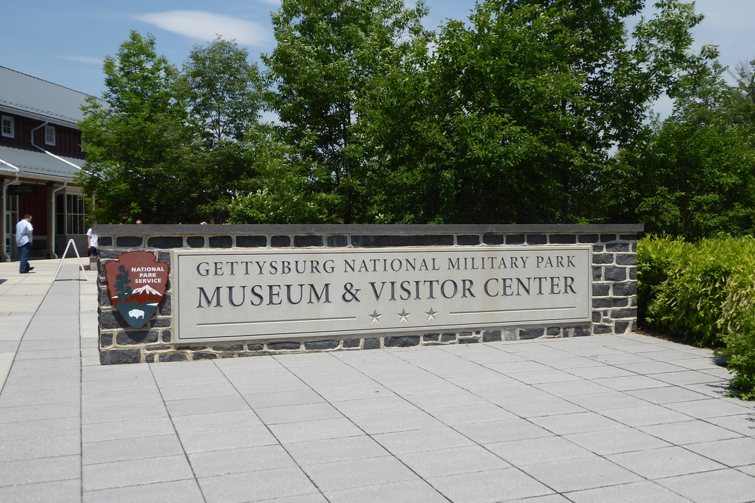 The cyclorama is a spectacular 360 degree massive painting depicting Pickett's Charge on the final day of battle at Gettysburg. Its circumference is 377 feet at its widest points and 42 feet high. First painted in 1883-84 and repaired several times, the current painting was restored in 2003. Again quoting another reference: "The "Cyclorama" was a very popular form of entertainment in the late 1800's, both in America and Europe. These massive oil-on-canvas paintings were displayed in special auditoriums and enhanced with landscaped foregrounds sometimes featuring trees, grasses, fences and even life-sized figures. The result was a three-dimensional effect that surrounded the viewers who stood on a central platform, literally placing them in the center of the great historic scene." The action of the day is recreated by light and sound effects. In reality, at the height of the battle 270 cannons made a thunderous roar. 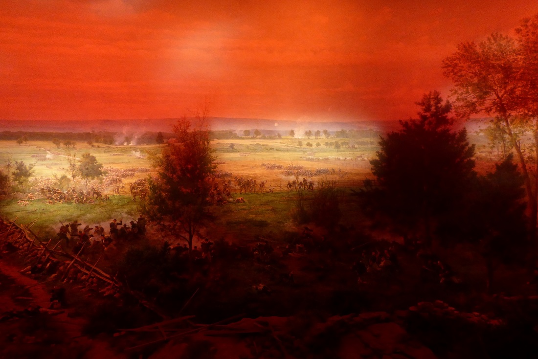  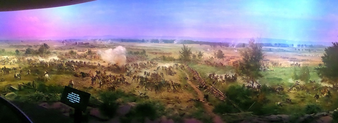 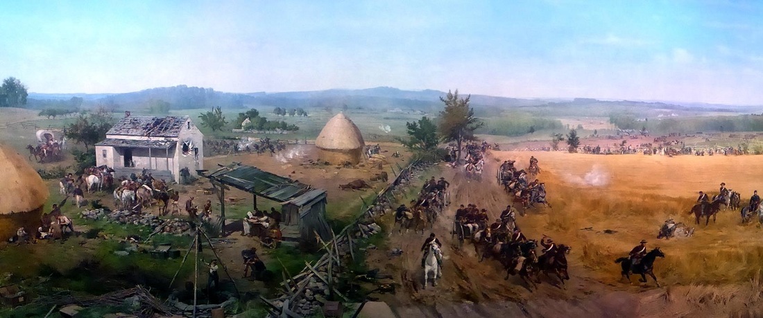 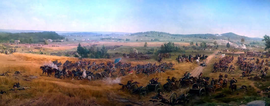 A driving tour of the battlefield gives a feel of the scope of the battle. It's a pretty area. Pictures can't do it justice. Monuments are placed around the battlefield memorializing the various units that fought here. From Texas and from Maine, this war covered vast distances. And finally, Mary Lou got pretty frisky with her new friend, sitting on old Abe's lap! 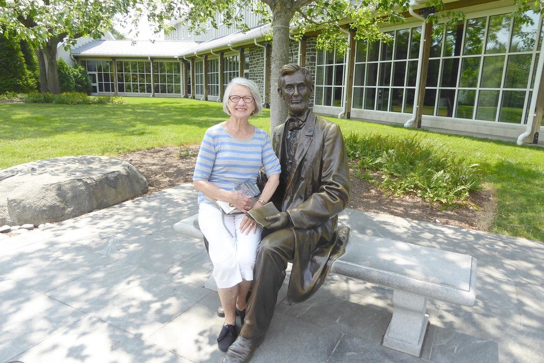 Another historical stop on tap for tomorrow.
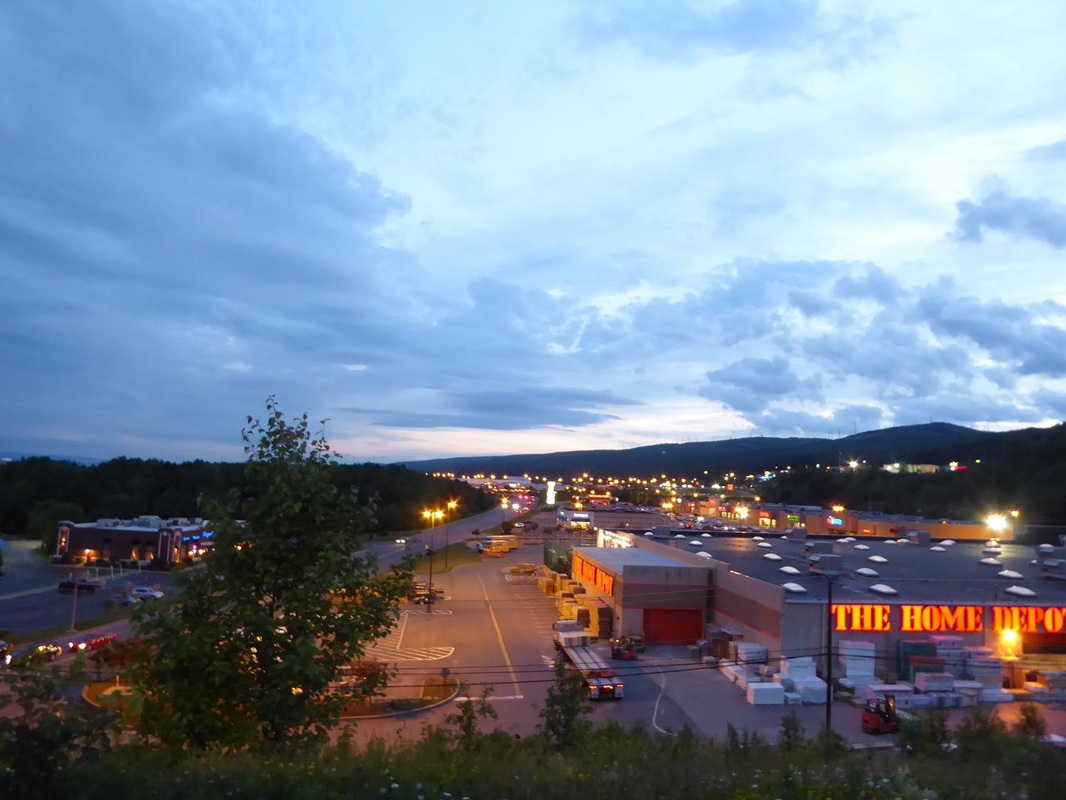
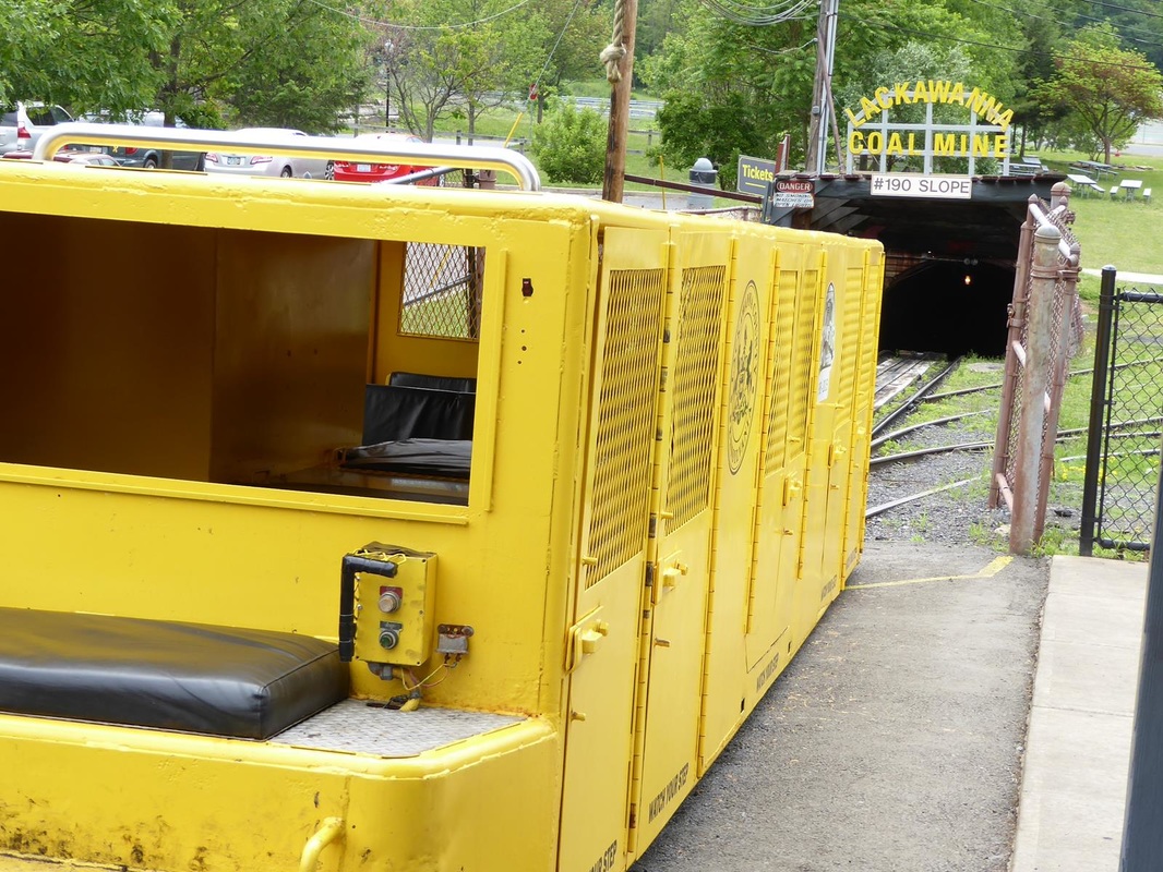
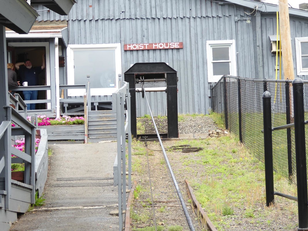
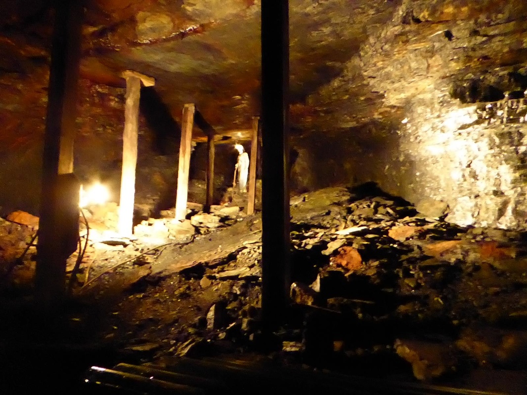
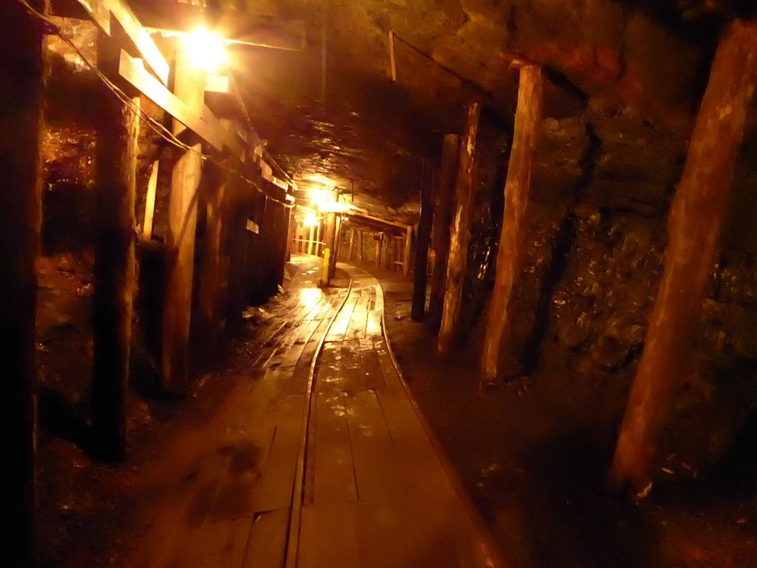
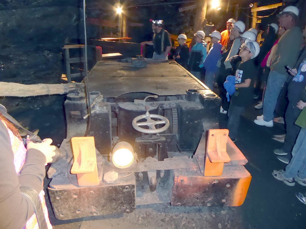
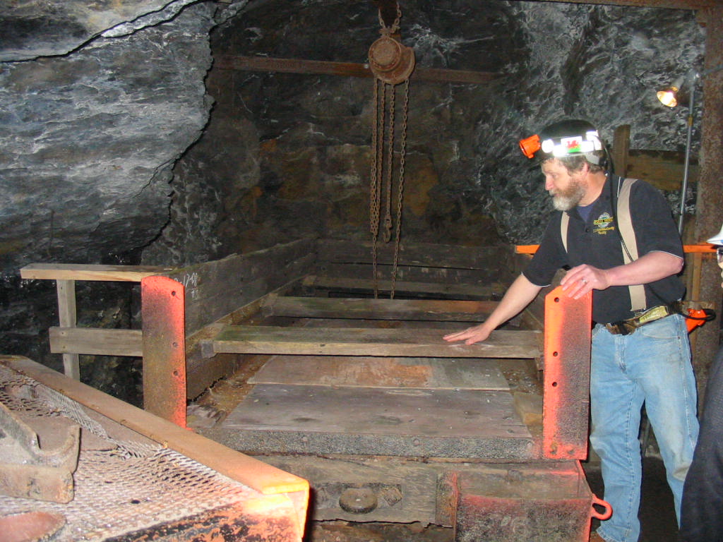
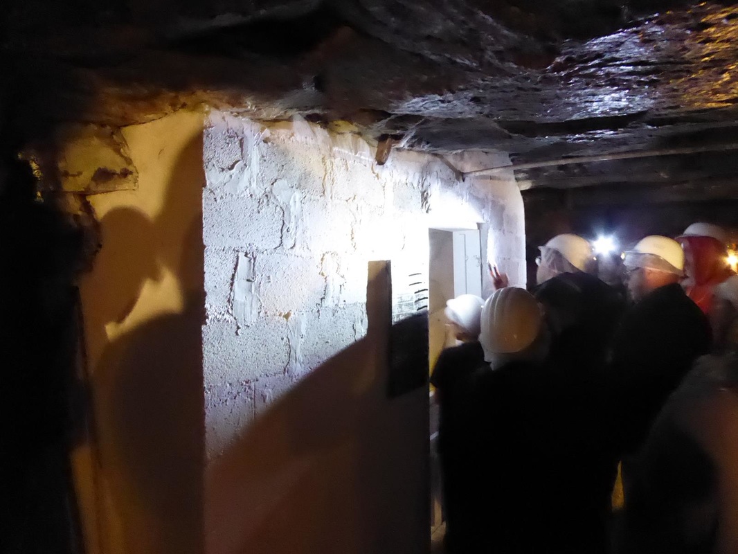
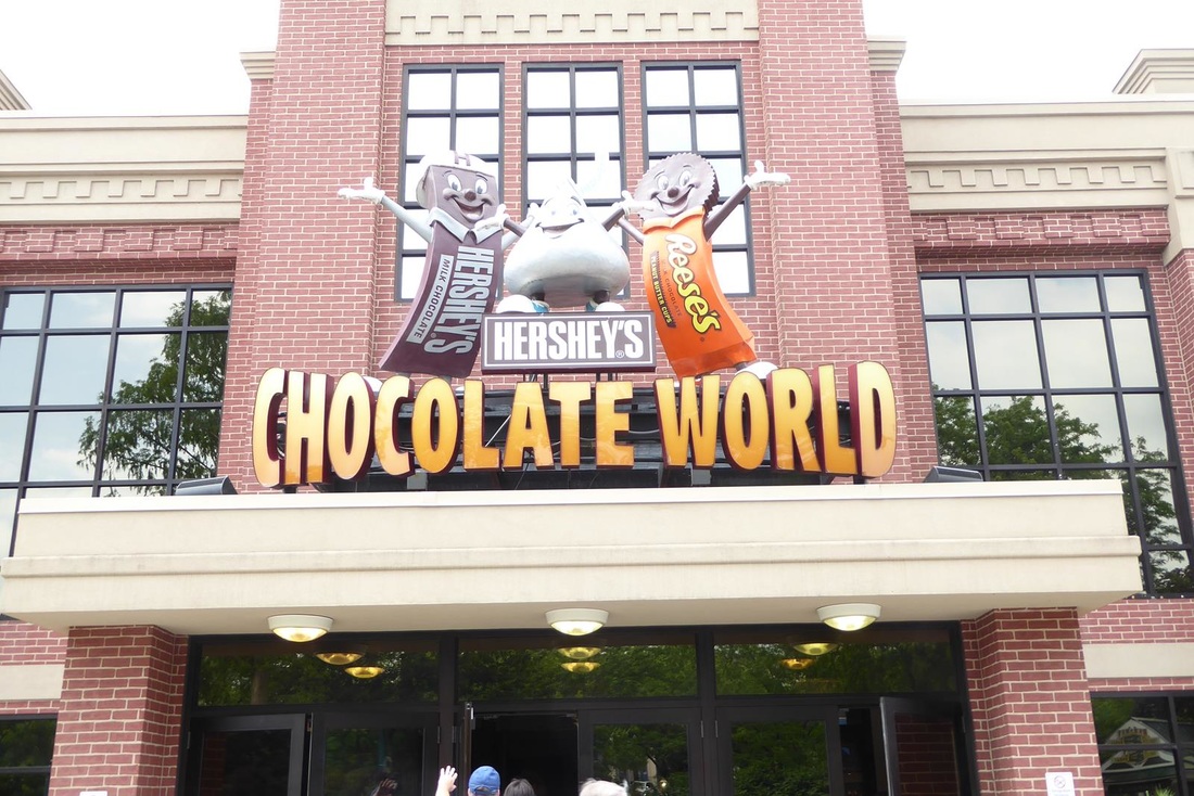
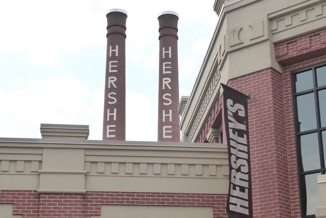
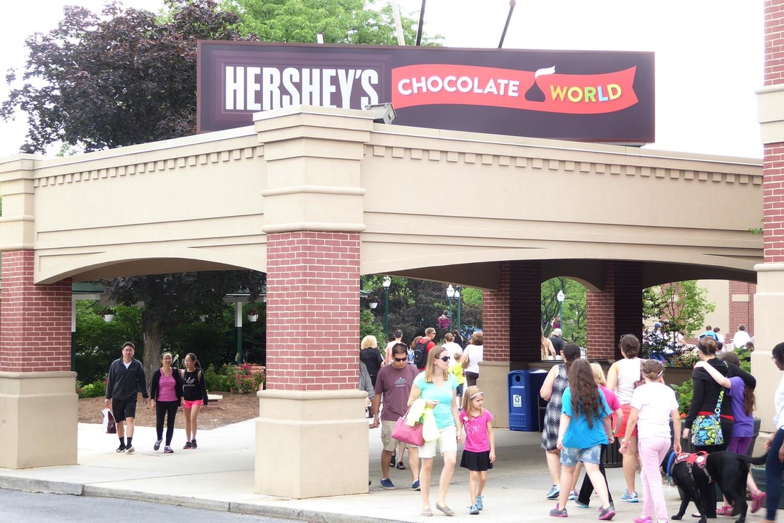
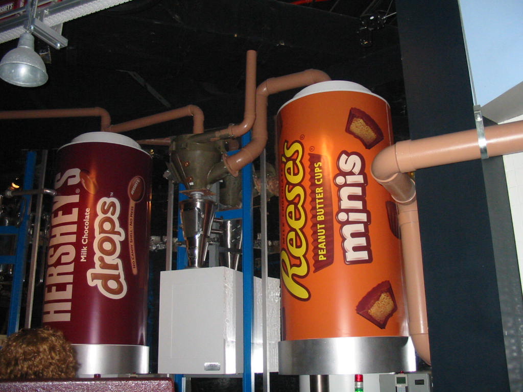
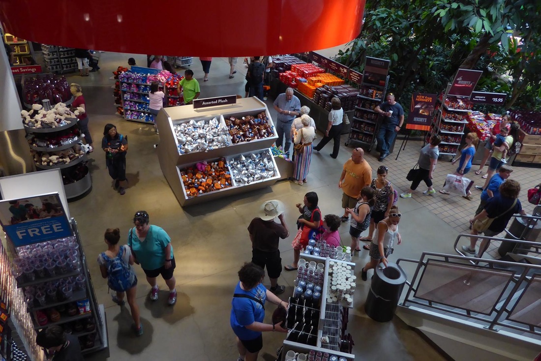
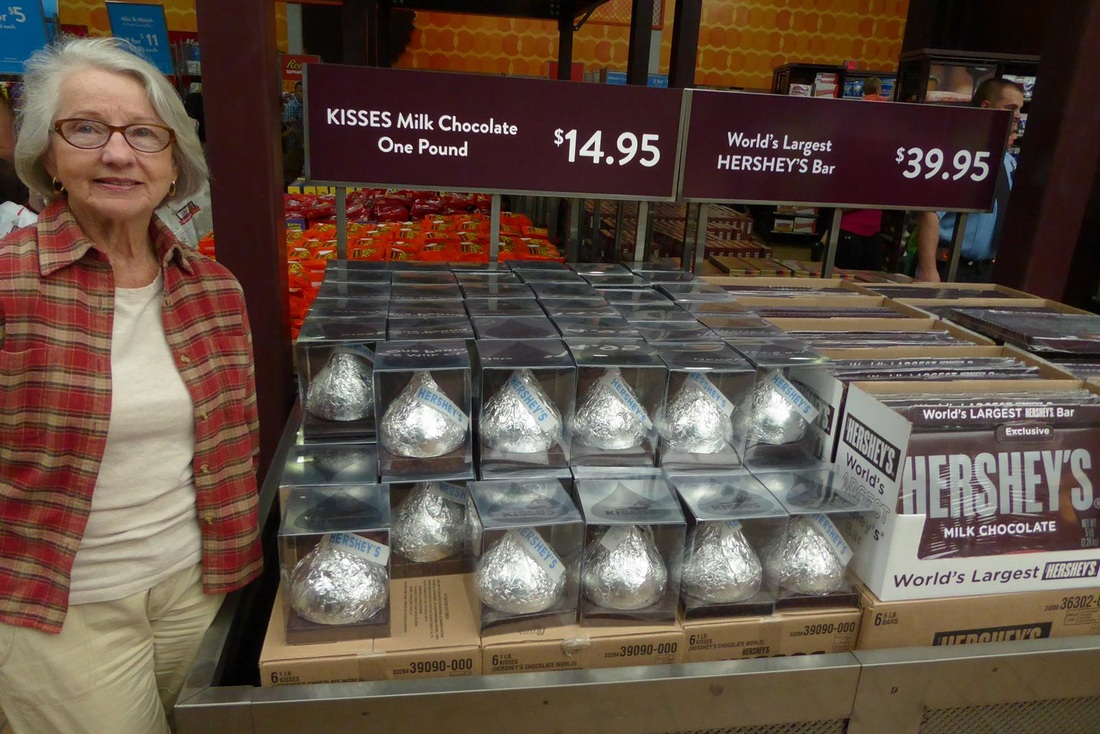
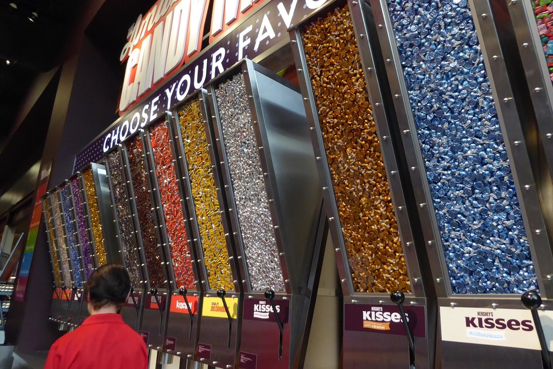
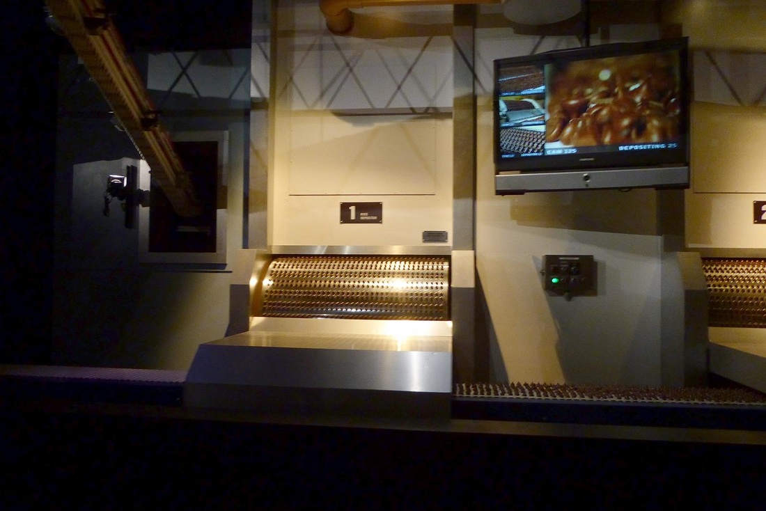
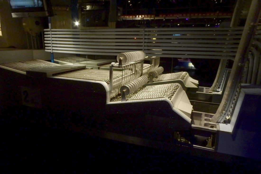
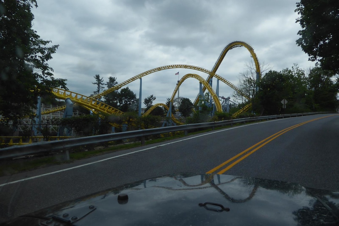
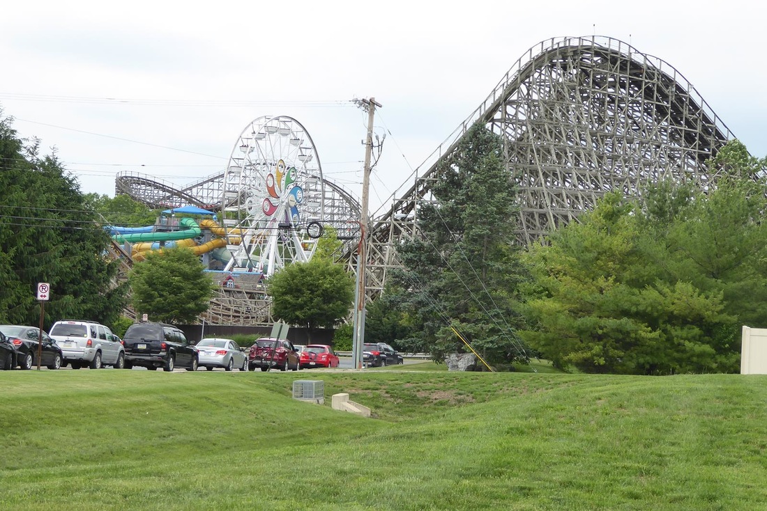
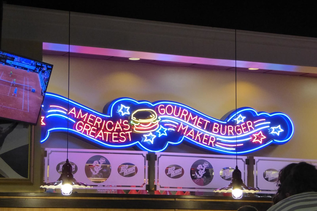
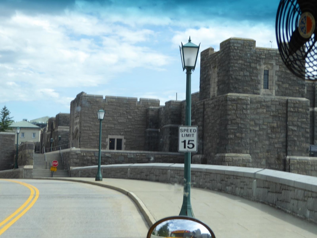
Stay tuned. From West Point we made it to a Walmart in Scranton, Pennsylvania. This Walmart is on a bluff overlooking the valley and Scranton. Most campgrounds don't have a view like this. We came to Scranton because it is on our way. However, we found an attraction that will surprise everyone. 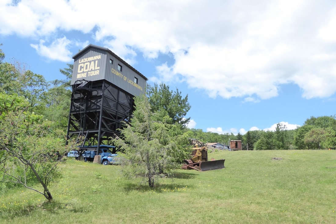 Scranton happens to be a coal mining town. (or was!) The mine here is the Lackawanna Coal Mine. Production here ended in 1966. Coal mined here was anthracite coal, which is harder and cleaner burning than bituminous coal usually found in the western US. The tour was really cool; both interesting and cool, temperature a constant 53 degrees in the mine. The 'car' that took us into the mine was 'lowered' by a cable on a reel in the 'Hoist House'. This is a 'selfie' illustrating the latest in fashion headwear. 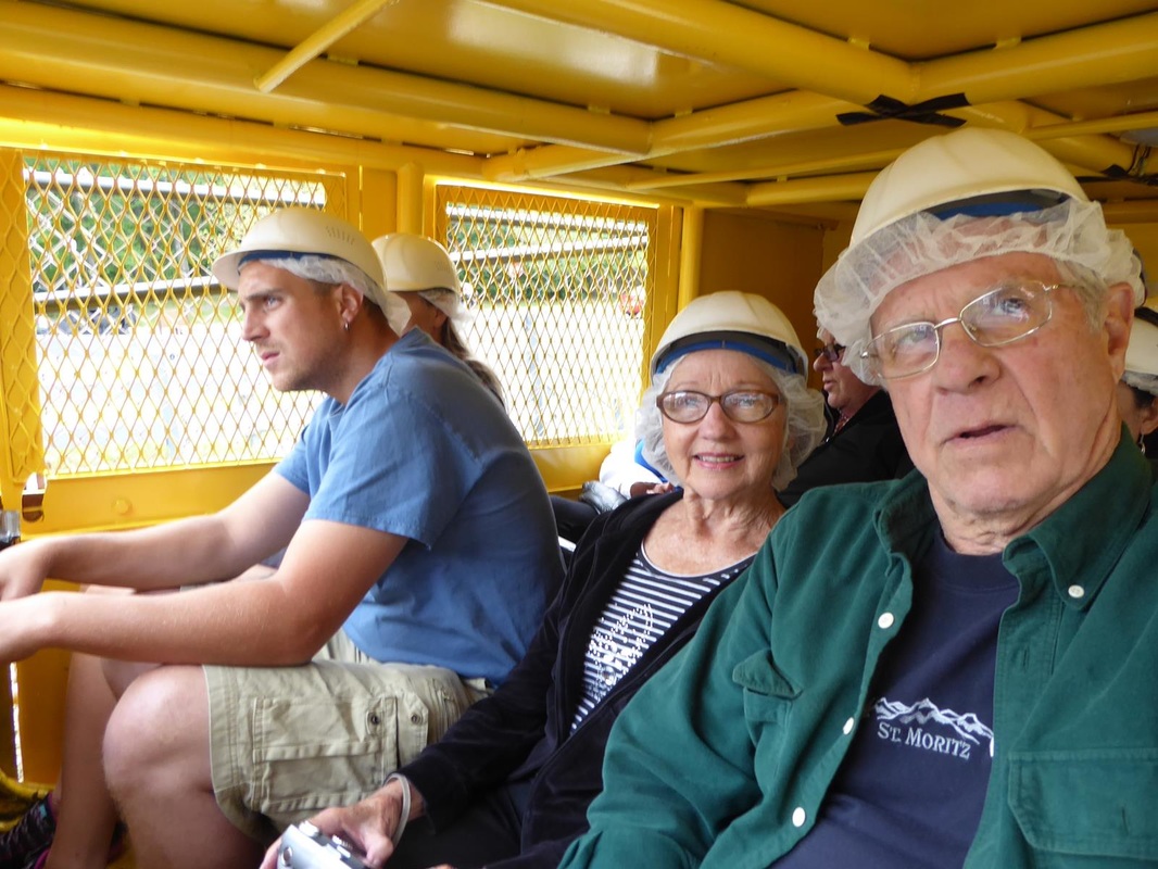 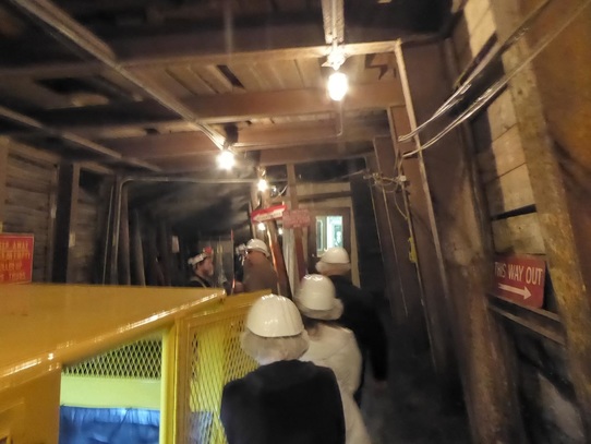 Into the mine, 250 feet below the surface. 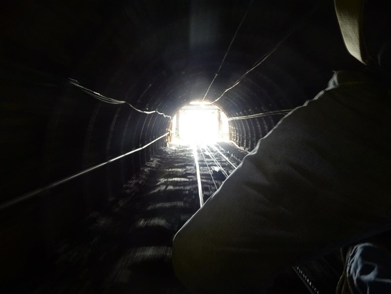 Descending. Mine scenes. Notice the wooden posts that appear to be supporting the 'ceiling'. They are not there for support. They are an early warning for a ceiling collapse. If the ceiling begins to sag, the posts will crack audibly and this will signal everyone to go to the exit - or 'flee for your life'. (Click to enlarge) Here is an electric 'mule' that pulled the mine cars, and a personnel car to carry the miners in and out of the mine. Before electric mules, actual live mules were used in the mines to move the cars around. Mules were considered more valuable that people, because people were more easily replaced. When a mule was brought into the mine, he lived his life in the mine and never came out. The handlers were boys around 12 years old. 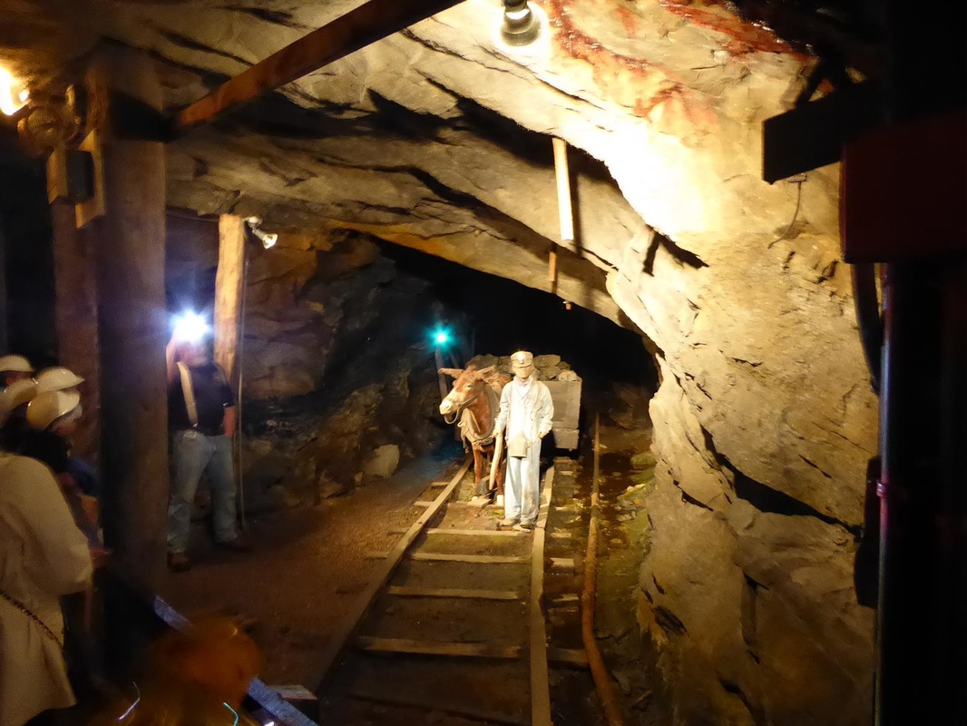 A note about mine 'careers'. This was a mining town, and much like our Sugar Land, Texas, everyone worked for the company (or mine). Boys as young as 7 years old could do some work for the mine, usually starting out above ground. Below is a position a lad as young as 7 could do in the mine. His job is to open and close an 'air-lock' door to allow coal cars to go through. He was called a 'nipper'. About 9 hours down there, all alone. 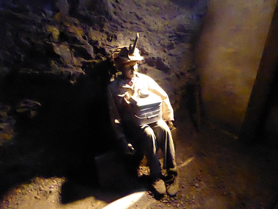 There is a superintendents office down in the mine. This is an area where the coal vein is around 3 feet high. Miners in here were called 'monkeys' because they had to work on their hands and knees (with knee pads). The only light in the mine was from the lights on the helmets, which, in the early days was about the amount of two birthday candles. In the photo below, the two lights on the left are miner's lights. 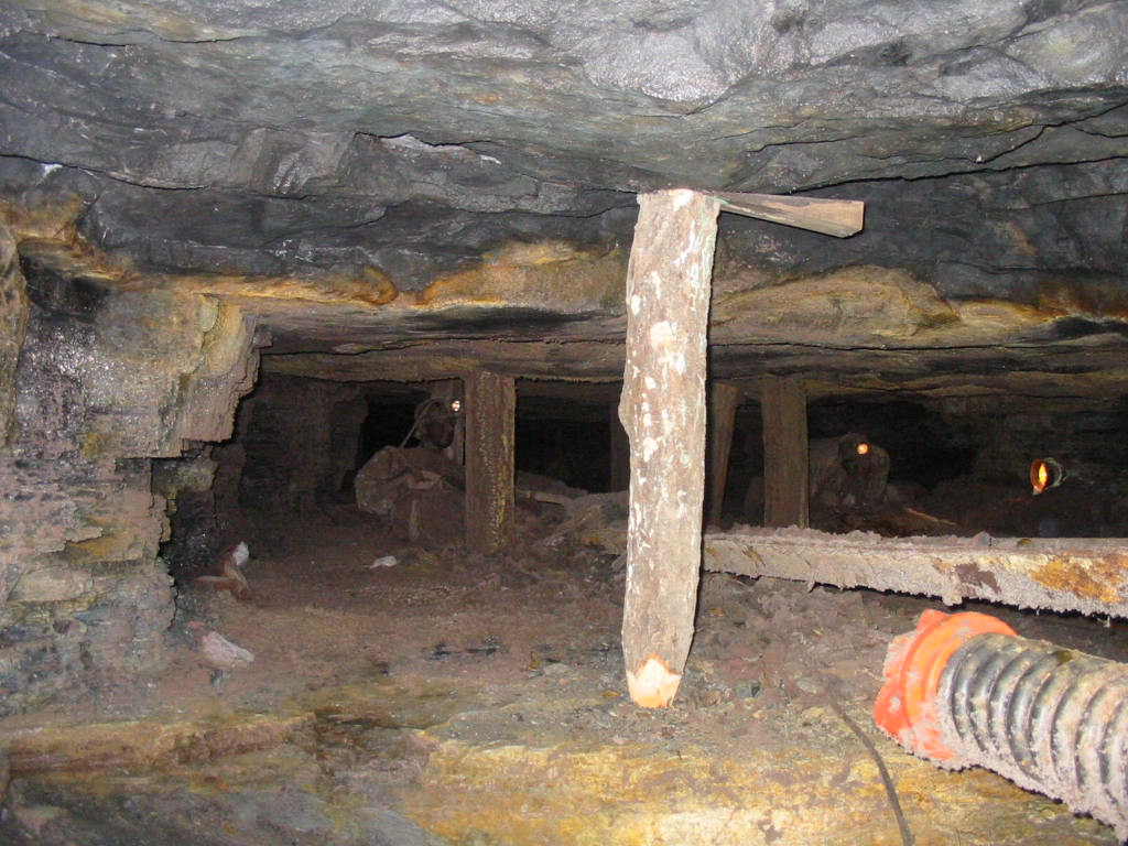 A mine car not fully loaded. The coal needed to be piled in the car to the height of a persons forearm above the rim of the car, or the person responsible would be docked 3 days pay. More than once, he would be fired. 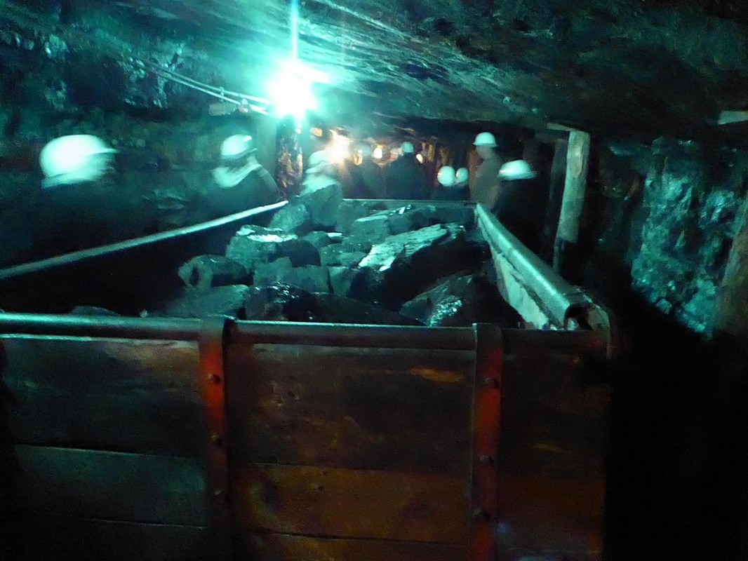 This tour really illustrated the conditions under which the miners worked. They were glad to have the work to provide a meager living for their families. But it was a hard life.  More fun tomorrow. Well, tomorrow is here. We moved to a campground in Harrisburg, Pa, and jeeped to the neighboring town of Hershey and you can guess what's there! Hershey's Chocolate World Hershey is another company town having been built up around the Hershey Chocolate Company. In addition to making chocolate here, there is a huge amusement park and 'Chocolate World'. 'World' is a fun place with all sorts of Hershey chocolate items for sale, a food court, a 'virtual chocolate tour', a tasting tour, and 'make your own treat'. We did the virtual tour to see something of how chocolate is processed. We rode in little cars past various mock-ups of the process. It certainly didn't take the place of a real tour, because the recorded narration was overshadowed by obnoxious music and interesting details were missed. 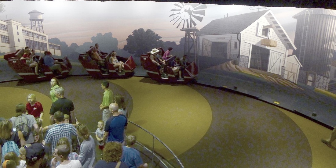 The second photo below shows large vats of chocolate (dreamy, isn't it?) The last two photos have to do with making and wrapping kisses. We did not visit the amusement park, but it must have been huge. From the streets around the place we counted at least 6-7 roller coasters. This is the Hershey middle school. What a view! 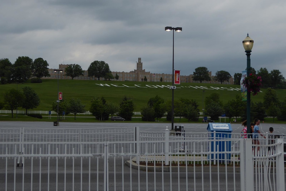 To end our stay in Hershey, we had a burger at a Red Robin burger place. Then back to our campground for a nap and some down time. But more coming.
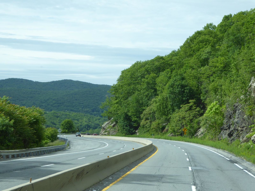
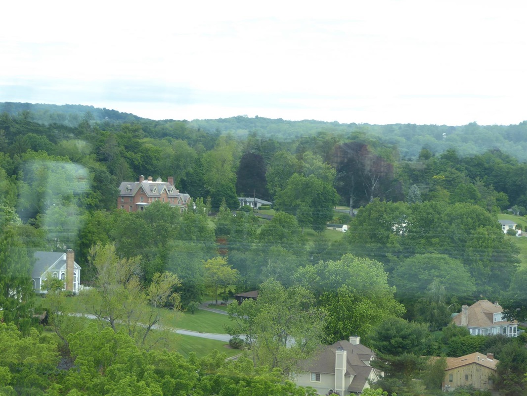
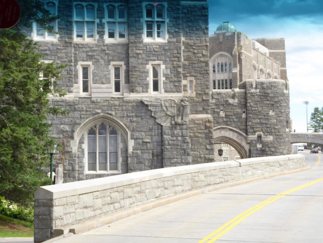
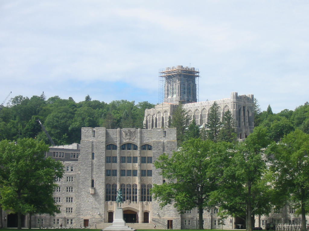
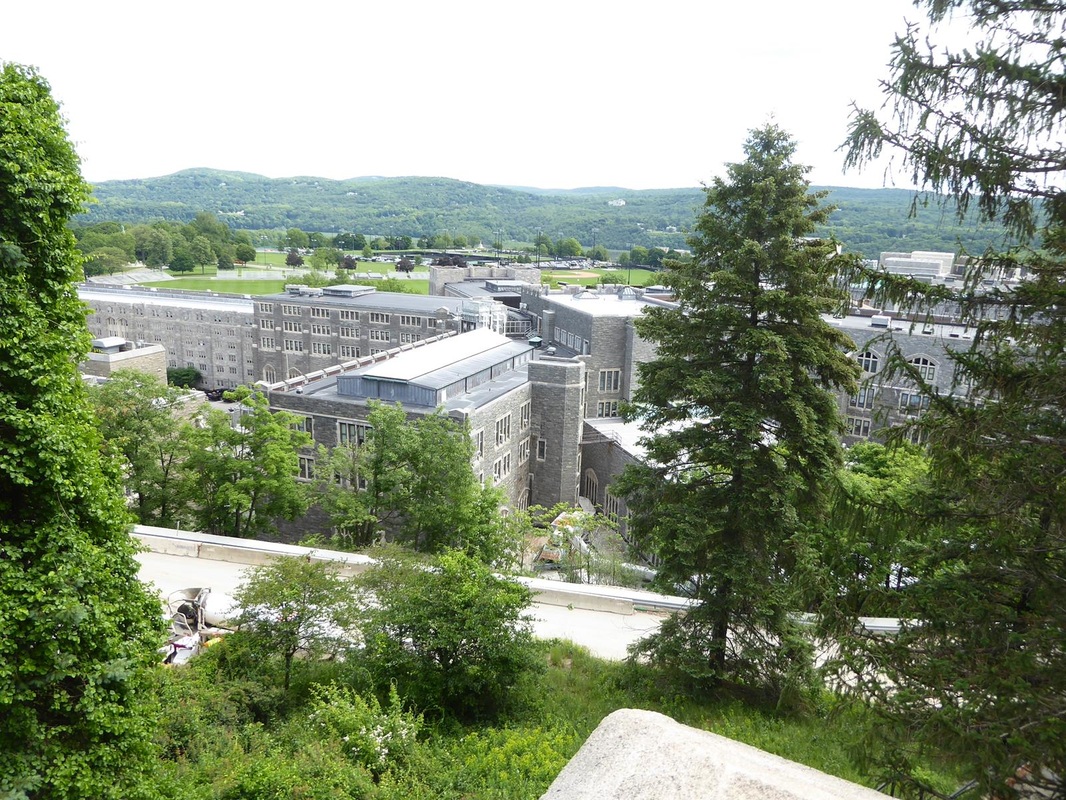
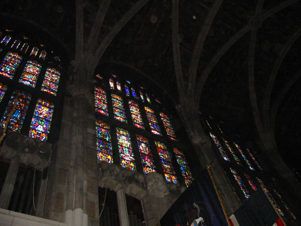
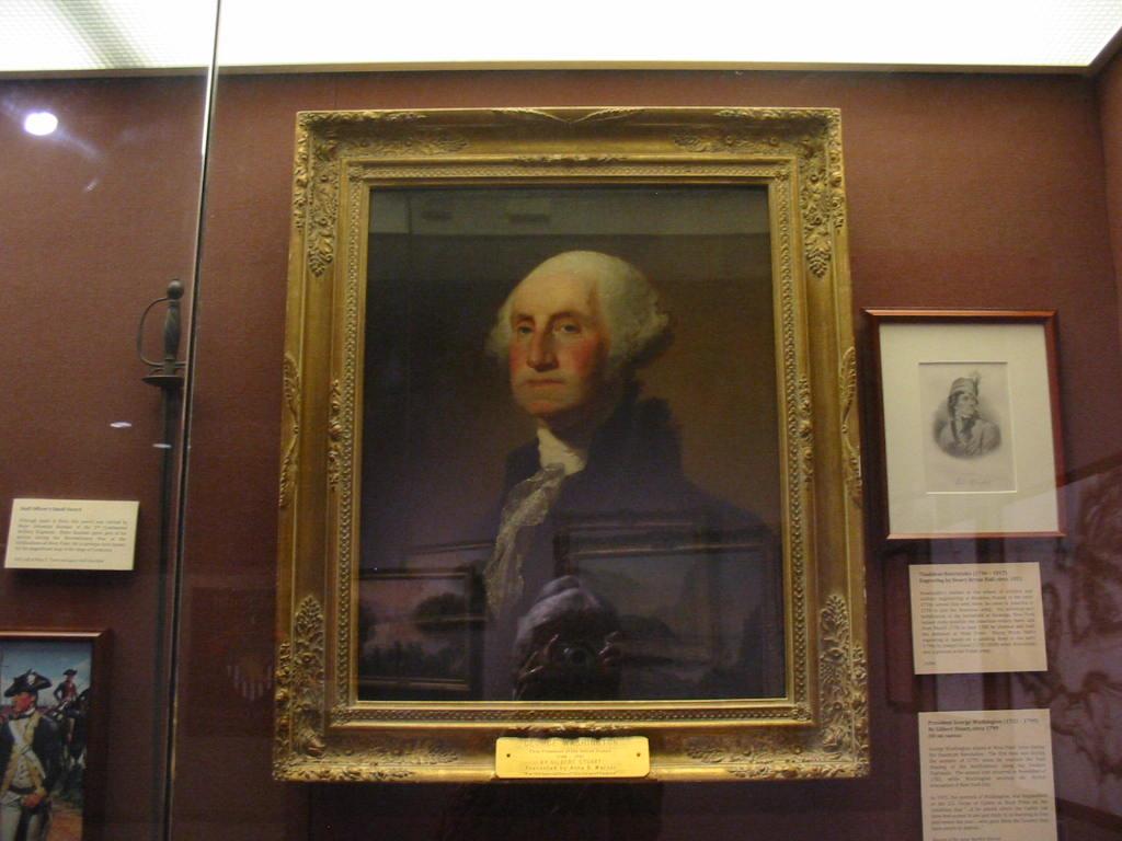
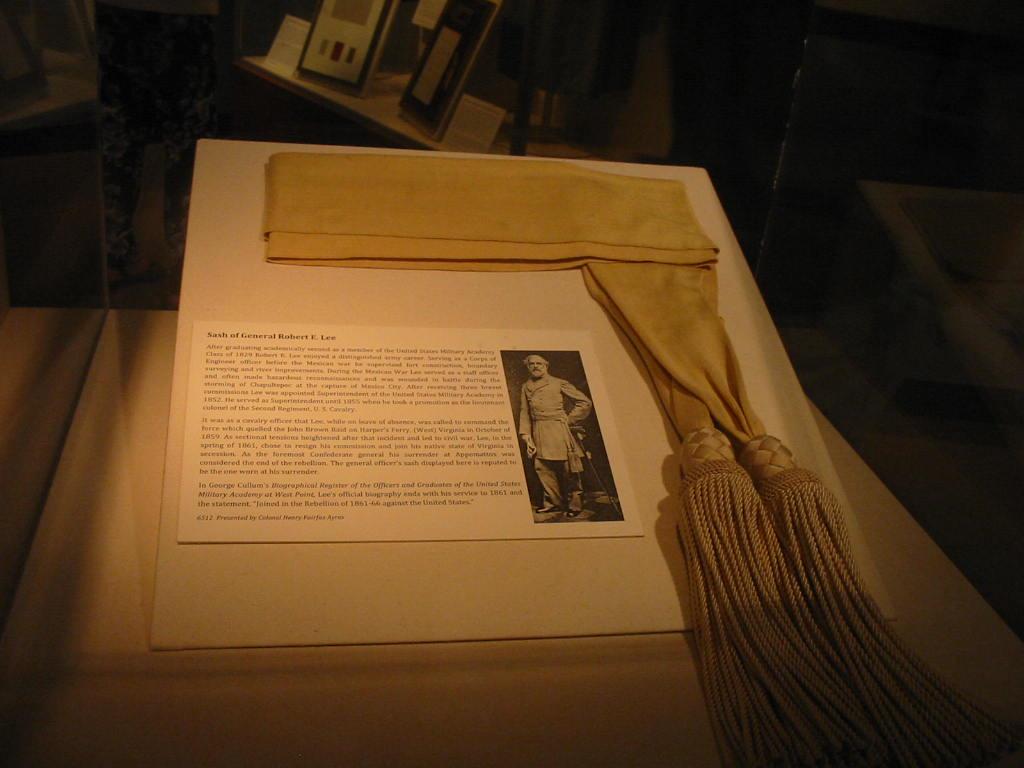
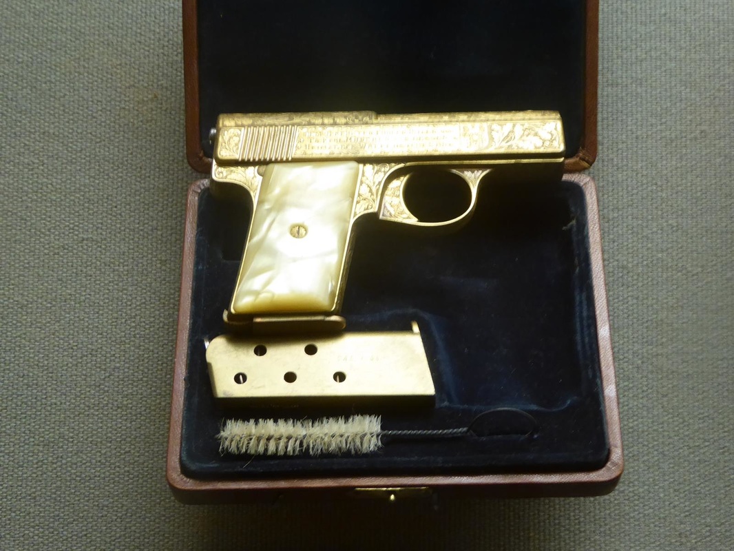
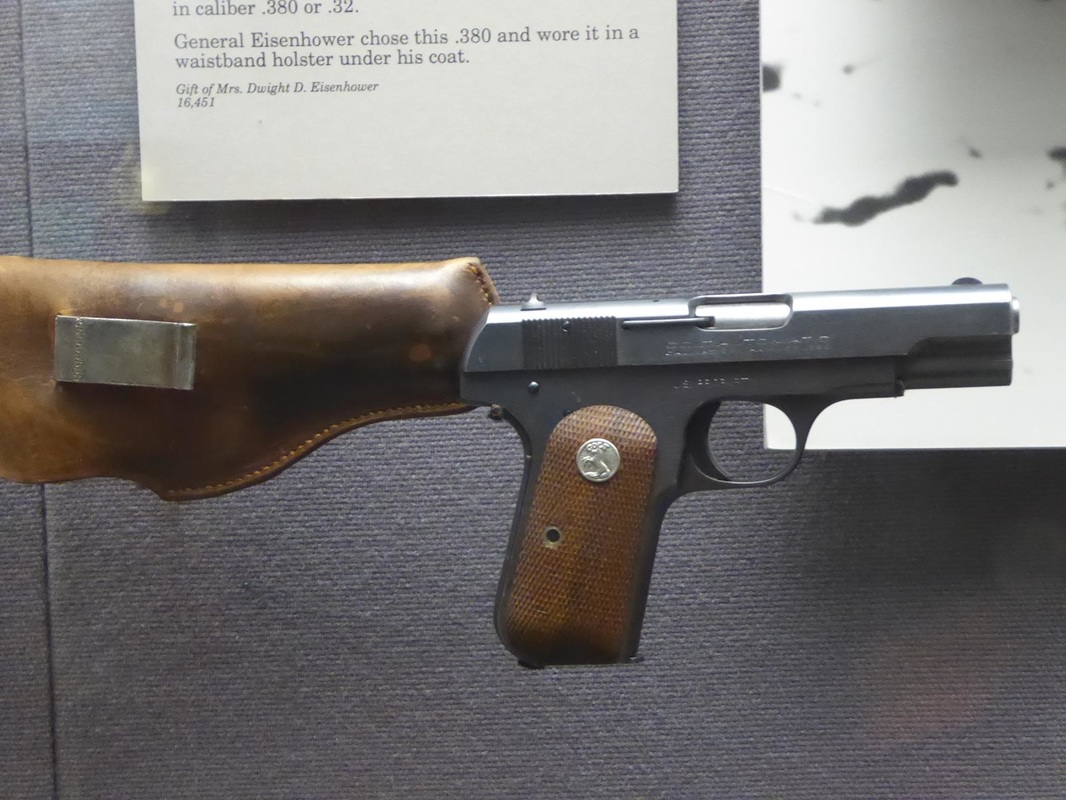
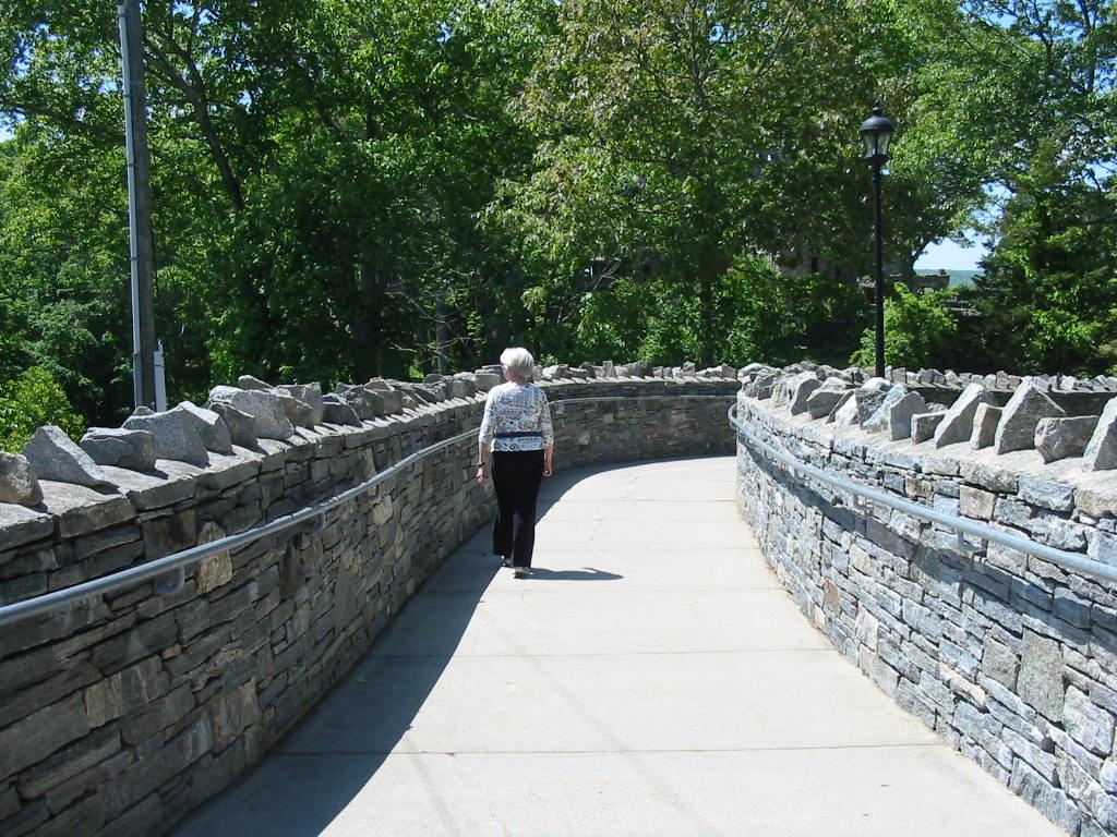
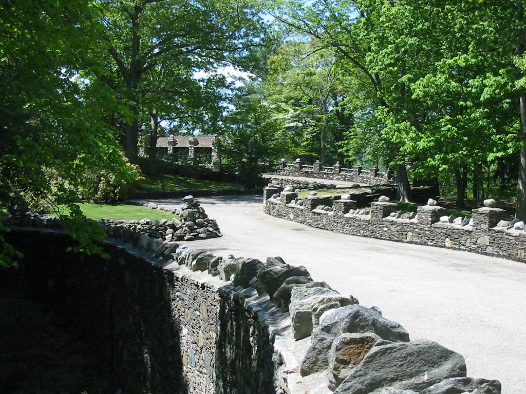
Stay tuned We haven't had many pics of the countryside, but here are a couple of views heading south from Hyde Park. We crossed to the west side of the Hudson River, which is quite impressive. 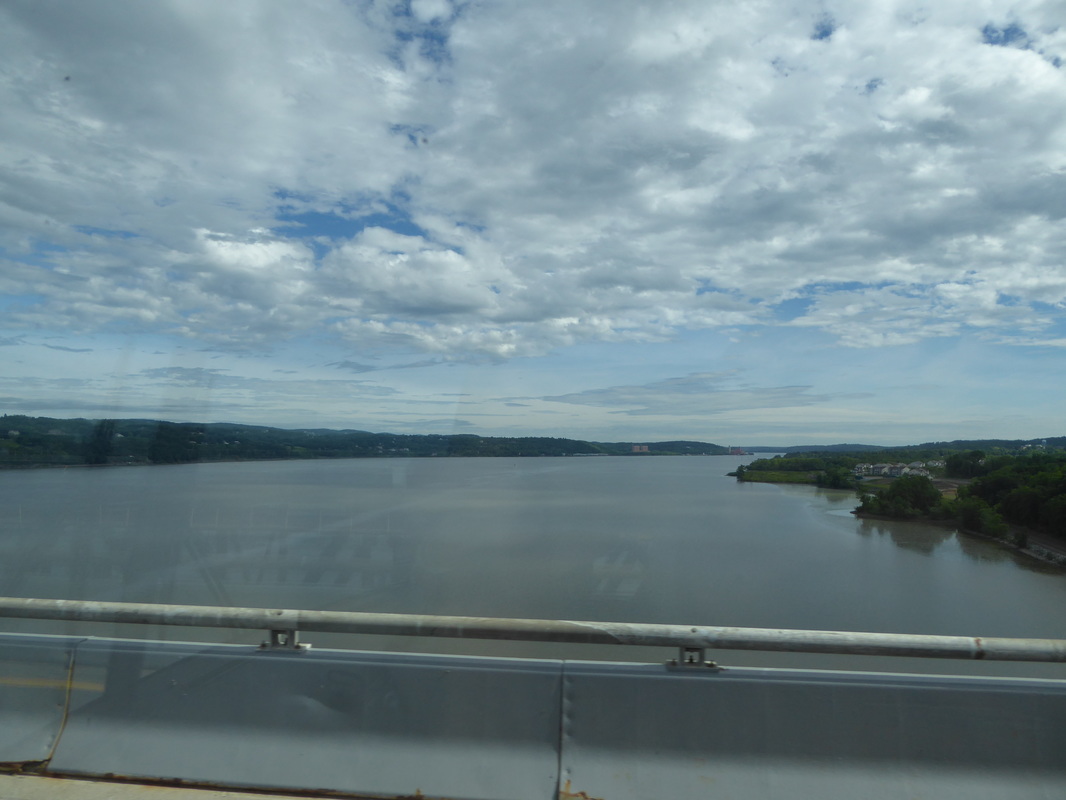 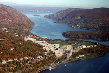 Just south of here there is an S curve in the river formed in part by a point of land. During the revolutionary war, George Washington selected this point of land as a military fortification to control river traffic. The place was named West Point, and has been the longest continuously occupied military post in the United States. Ships had to slowly navigate the S shape of the river due to currents and winds, giving gunners on the shore good targets. In fact a 150-ton iron chain was stretched across the river to stop enemy ships. This is a display in the West Point Museum. 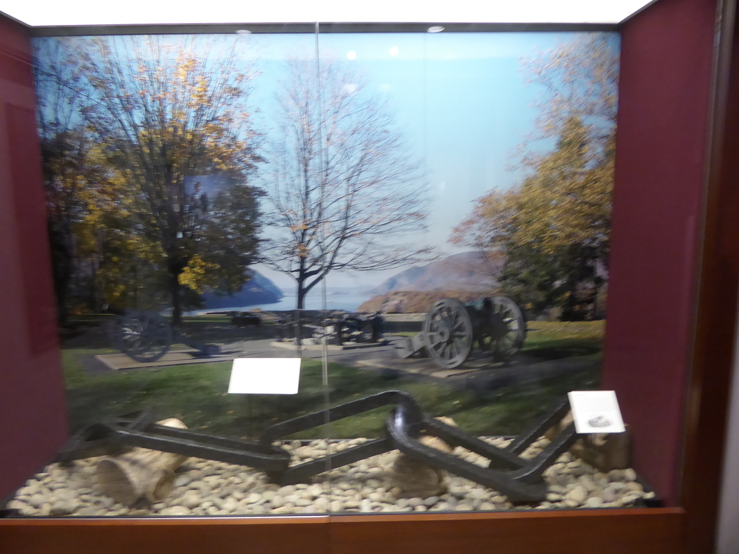 For those who have head of Benedict Arnold, this was the basis for his treason. He gave the plans of the fort to a British sympathizer who was immediately caught and quickly hanged. Arnold went over to the British side, but was not held in high regard and eventually died an unknown. The United States Military Academy was established in 1802, becoming a 4-year institution in around 1817. Many prominent military men were/are West Point grads including U.S. Grant and Robert E. Lee, and others who were on opposing sides in the Civil War. The West Point 'campus' is indeed impressive. The location overlooking the Hudson River, the stone buildings, and the feeling of great tradition create an awesome aura. 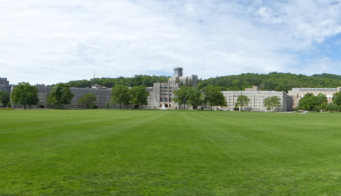 Here is the famous 'Plain' where parade reviews are held. The building in the center is the mess hall flanked by the dormitories. There are about 4400 cadets here. 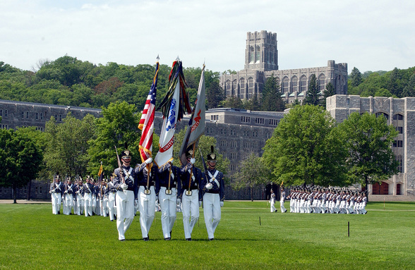 A photo from the internet. The large building in the background is the chapel. The chapel hosts the largest chapel pipe organ in the world, which consists of 23,511 individual pipes. Here's the console (you can't see the foot pedals - see video). For those interested here is a link to a youtube performance of this organ. 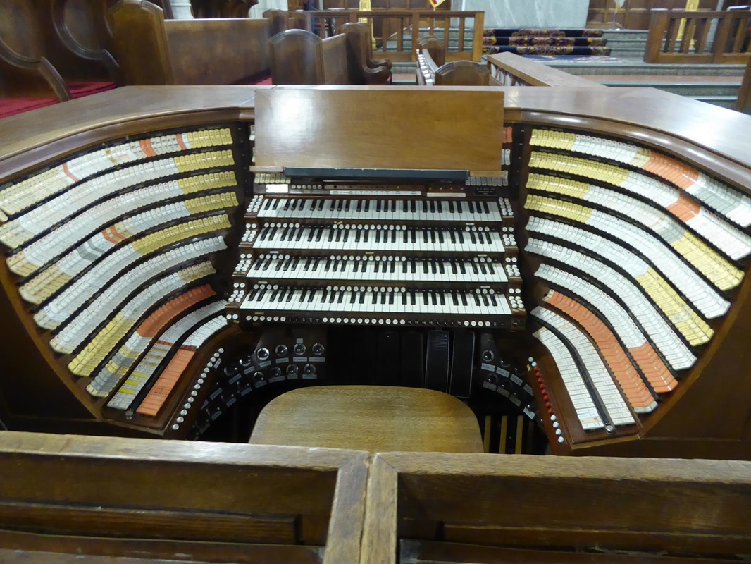 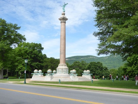 Overlooking the Hudson stands a monument to Union officers and men who died in certain battles of the Civil War. The center column is cut from the largest piece of marble in the US. The monument is on what is called 'Trophy Point. There are arrays of cannon barrels here that were captured from the enemy. Shown also are the rear ends of two cannons buried in the ground. These ring the monument and are symbolic that the United States should never again fire upon itself. Pray that remains true. 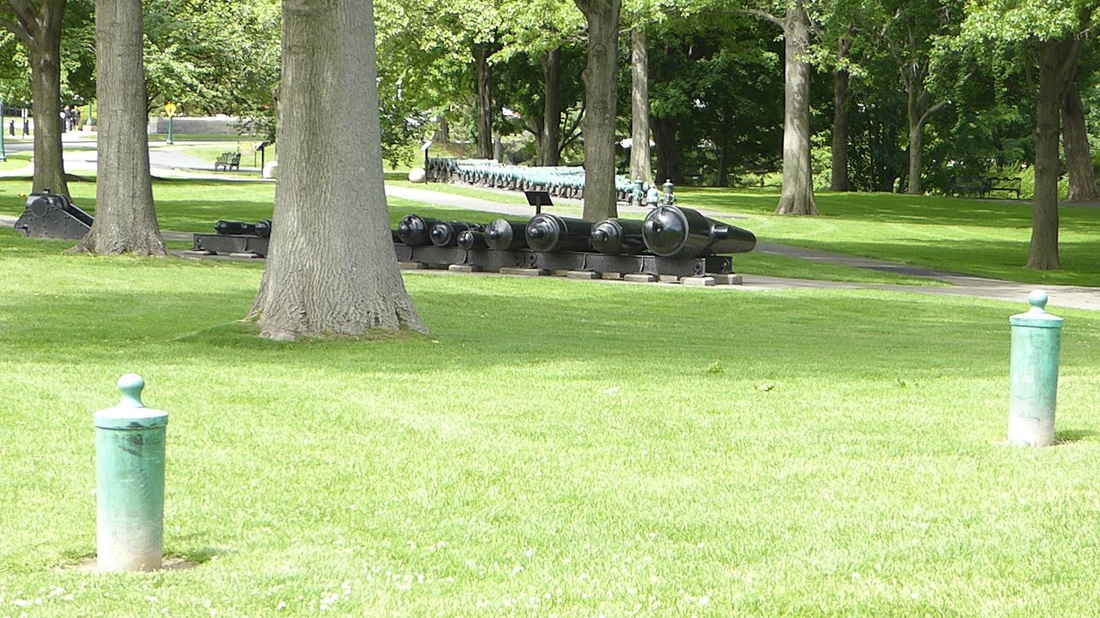 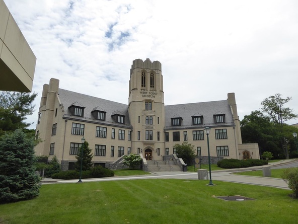 And finally the museum. This museum covered everything from the history of war itself to history of the army, and weapons. There were miniature dioramas of various ancient battles. 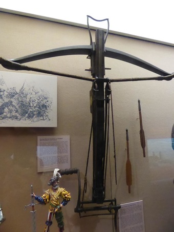 This crossbow has a hand crank with ropes and pulleys to draw the bow. This revolutionary war musket is around 5 feet long!! Some weapons like this reportedly had a range of 900 yards!!  There is an original painting of George Washington, and the sash worn by Robert E. Lee at the surrender at Appomattox. A pistol presented to Hitler, and General Eisenhower's sidearm.  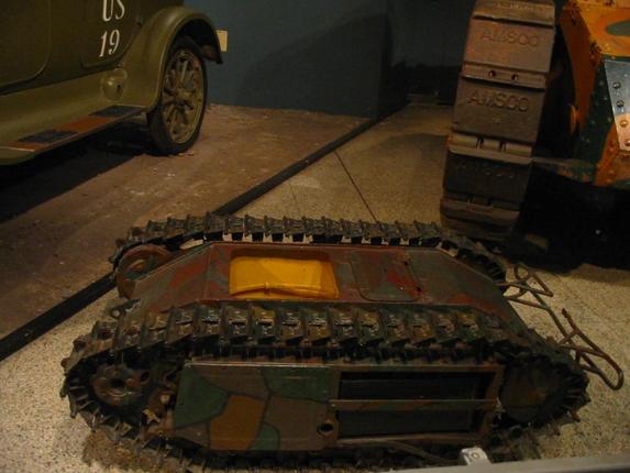 Here is a German 'robot' guided by wire to deliver an explosive charge into enemy positions. And this two-man tank with a 4 cylinder, 12 horsepower engine. The gun is not much bigger than what men could carry, so it seems strange to have this big complex machine to carry it. I guess there is an intimidation factor. We've seen one similar to this before. See Great Lakes Trip Report #16.  West Point has a 'hallowed ground' feel to it. It is steeped in the tradition of the 'Long Gray Line' and 'Duty, Honor, Country. Truly awesome.
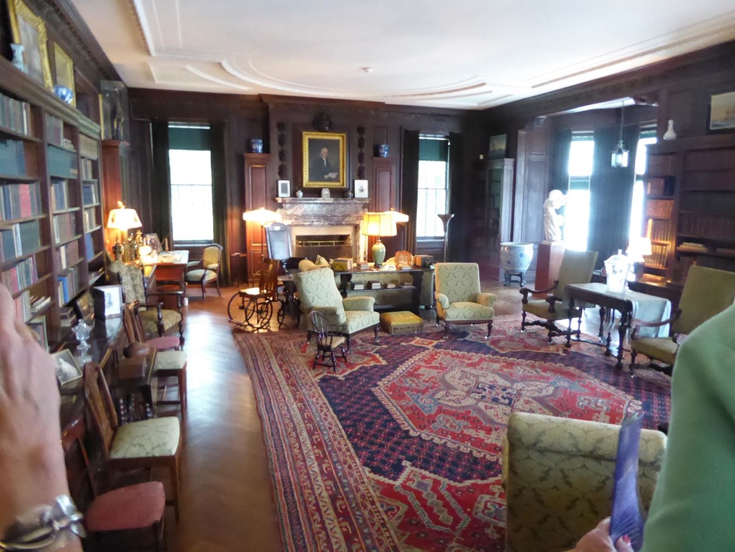
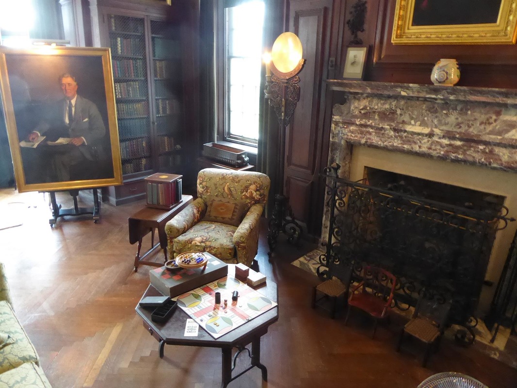
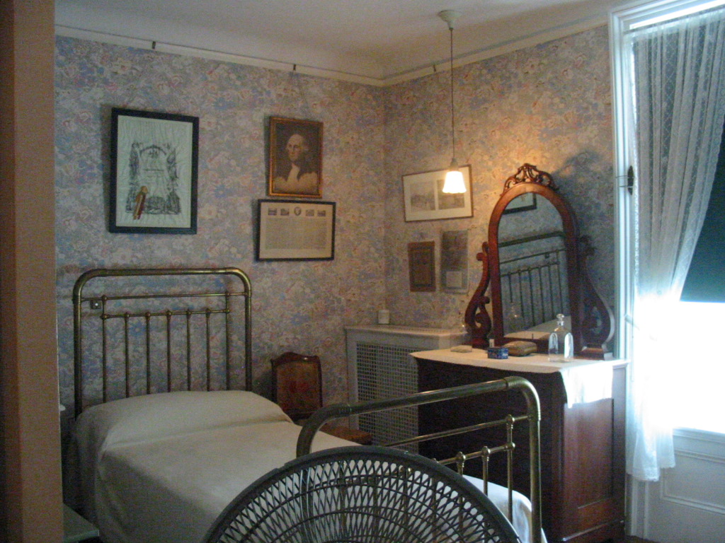
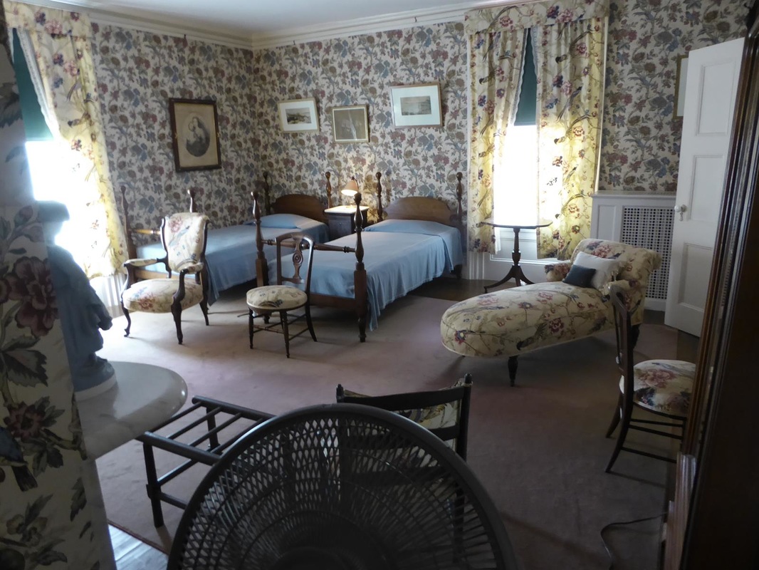
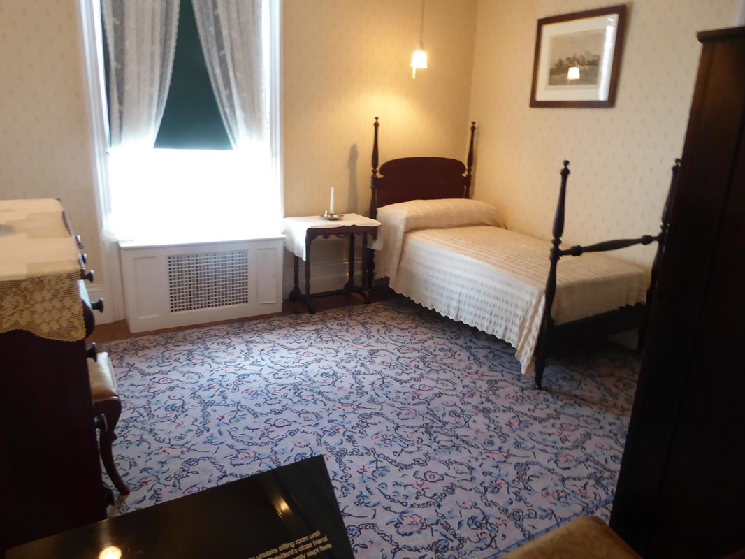
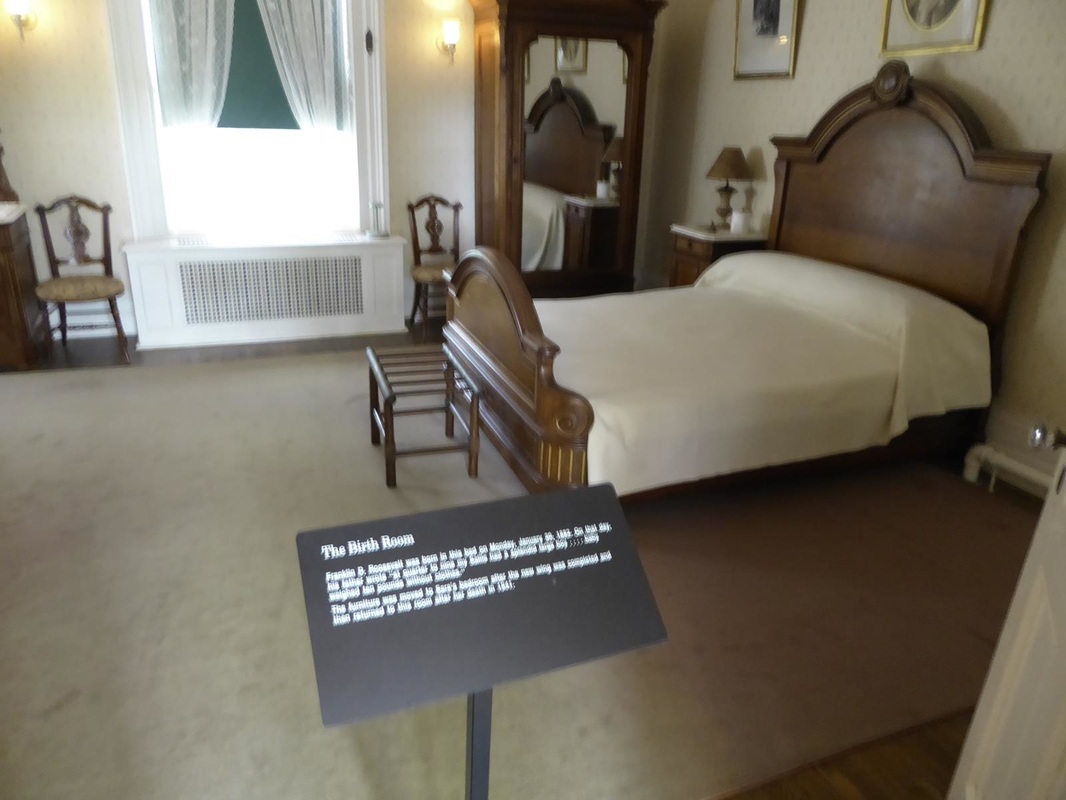
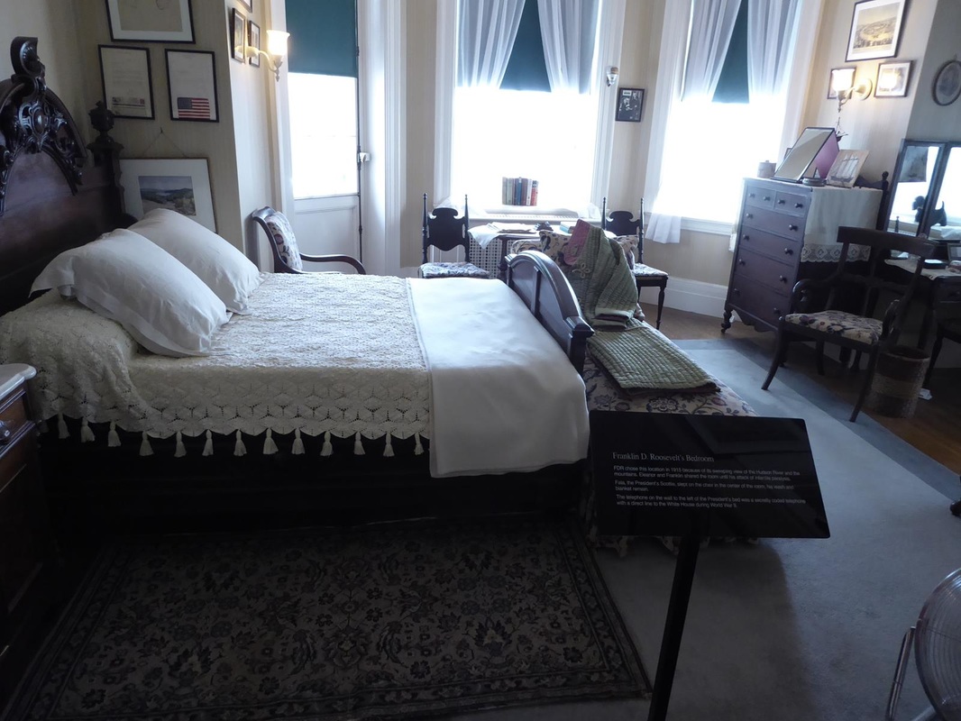
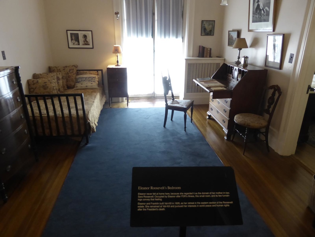
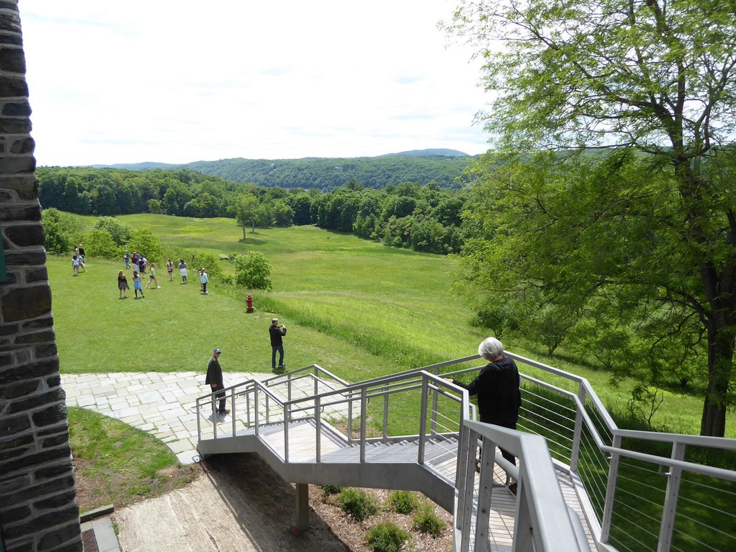
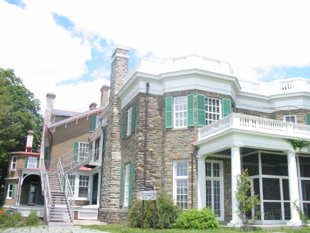
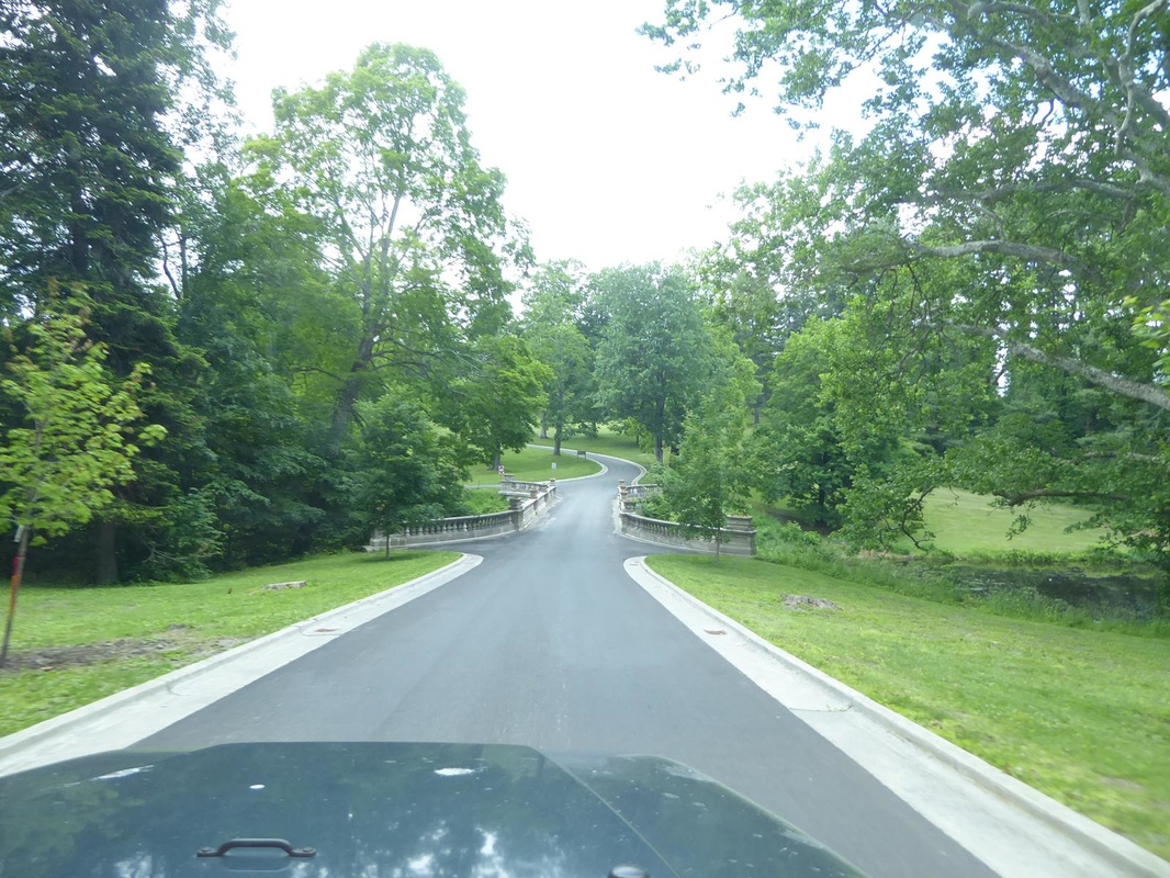
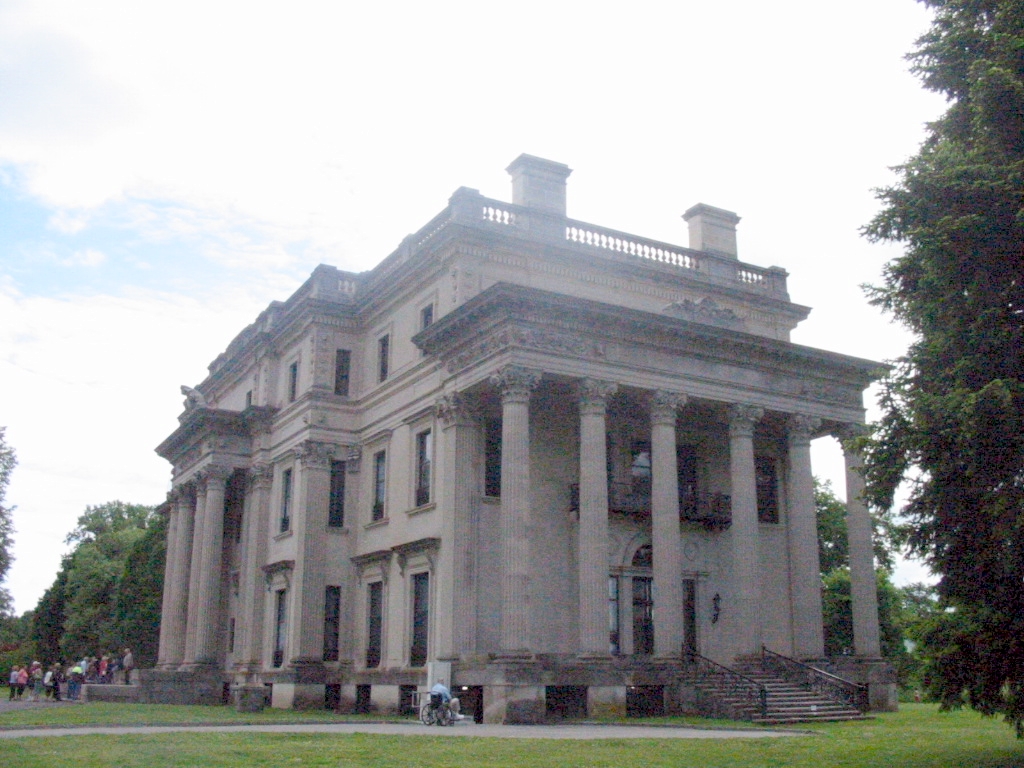
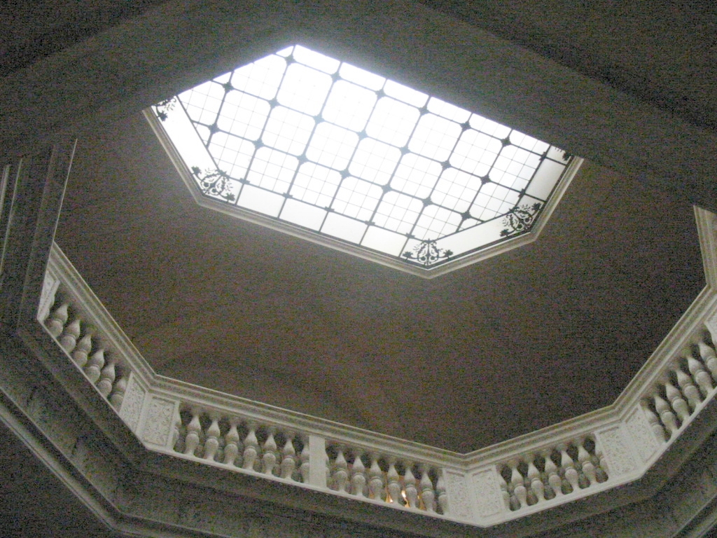
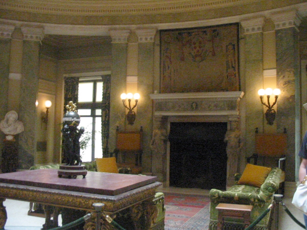
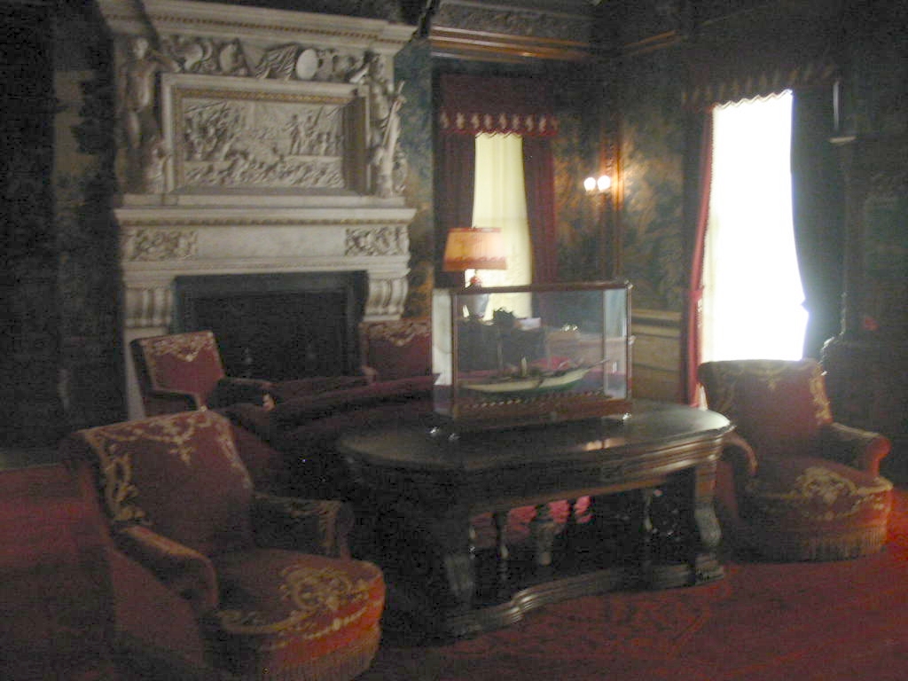
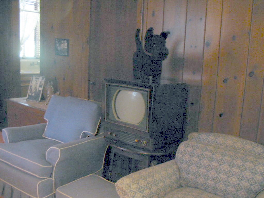
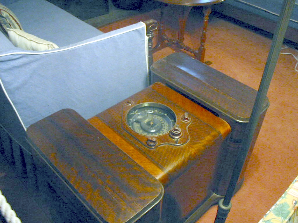
Stay tuned. We're headed south and got back into New York. Destination, the Hyde Park home of President Franklin D. Roosevelt. This is on the Hudson River, upstream from New York City. I think this may be considered 'upstate New York'. Anyway, due to fortunes among the various relatives of the Roosevelts, they had this place as a summer get-away. This is also the location of FDR's Presidential Library, the first of it's kind. As usual, Mary Lou made new friends. 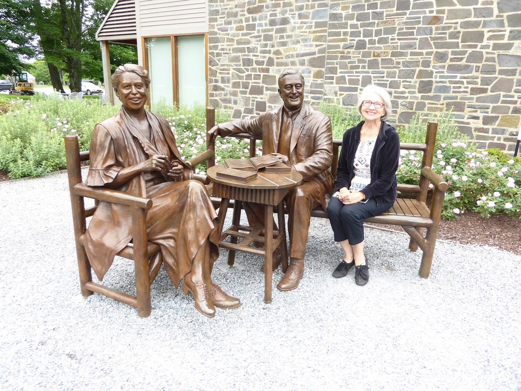 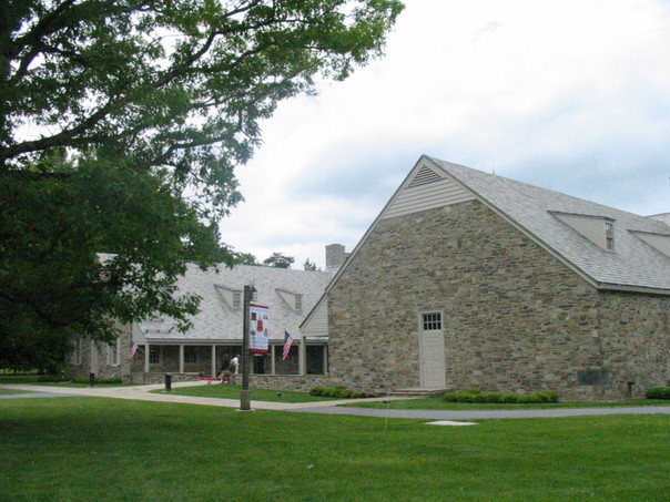 Here's the Library. There was a display of gifts from heads of state and private citizens. Here are some that had a Texas connection. (Hover your pointer over each photo to see captions.) 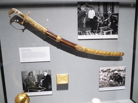 And more elaborate gifts from other countries. Here's the house 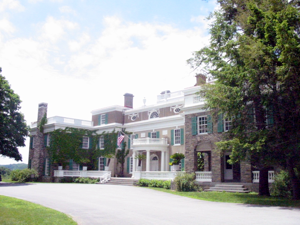 The inside is well appointed but not opulent. (Hover your pointer over each photo to see captions.) FDR would broadcast radio 'fireside chats'. This is a depiction of what it might have been like. Note the old radio. 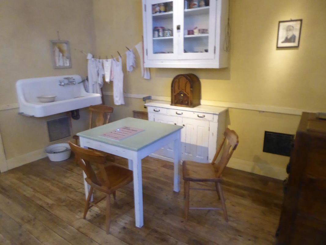 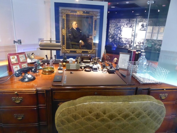 A replica of his desk in the Oval Office. Just up the road from FDR's place (notice the informality), there is a Vanderbilt mansion. The Vanderbilts made their fortune from railroads. One had the Biltmore Mansion in Ashville, NC. Another had a mansion here on several hundred acres. The Vanderbilt mansion differed from FDR's house in that the materials and furnishings were of the highest quality and cost, frequently imported. The entry or 'lobby' was 2 stories high with a skylight. I apologize for the poor quality of the photos in this house. I could make excuses, or blame Mary Lou or something, but no. 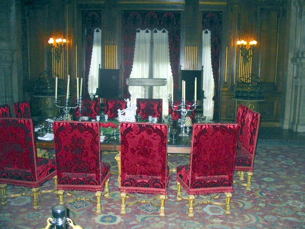 The dining room is off to the right.  After dinner the gentlemen would retire to the 'men's' room for brandy and cigars.  The ladies would retire to the parlor for liqueur and gossip. These Vanderbilts had separate bedrooms, adjoining and connected. They had no children. Go figure?? This is his. And this is hers. There is a cleverly hidden gate in the marble fence around the bed. Of course there were guest bedrooms. There are servants quarters down below, however the males had bunks down there while the female attendants slept on the third floor. Lady guests always brought their 'ladies-in-waiting'. We went down below, but only got a glimpse of the area, and apparently took no pictures. I kept expecting to see Mr. Carson of Downton Abbey. Outside is a view of the Hudson and a grand house on the other side.  One more attraction in this complex is Val-Kill, a little 'estate' that was Eleanor Roosevelt's hideaway and later her home for several years after Franklin's death. It seems that Franklin's mother ruled the roost in the big house and also their residence in Manhattan. So Eleanor needed Val-Kill as her own. There is a tennis court and swimming pool and Eleanor entertained quite a bit. Prominent people including JFK came to visit to get Eleanor's advice and opinion on politics and civil rights. This home was cozy and comfortable. Note the old TV and radio. All this took longer than we expected, but we moved on down the road to find a Walmart for the night.
Stay tuned. Leaving the Atlantic coast and heading inland, we begin to encounter rolling hills and eventually mountains. We also saw 'Moose Crossing' signs, but we never saw a moose. Skirting over the top of the White Mountain National Forest in New Hampshire, the prime tourist attraction is Mount Washington. Mt. Washington is the highest peak in the northeast US. There is an 8 mile privately owned road to the top. 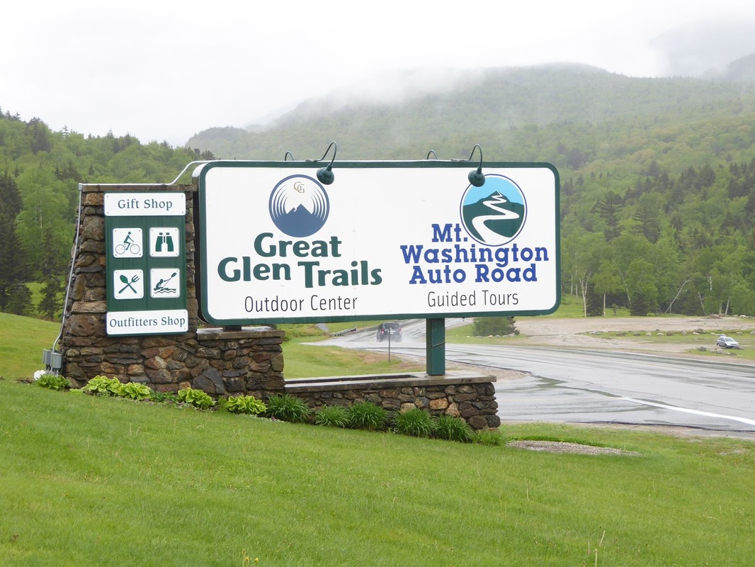
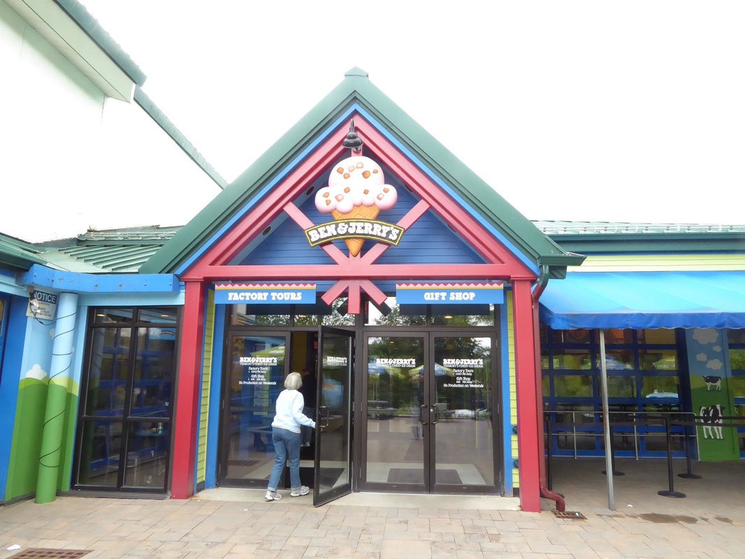
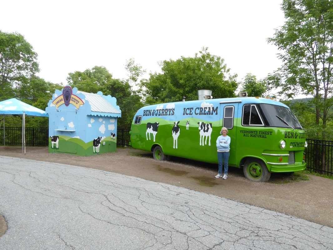
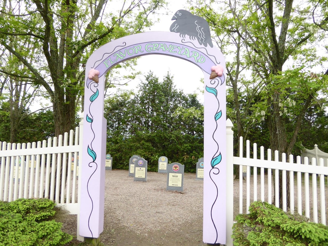
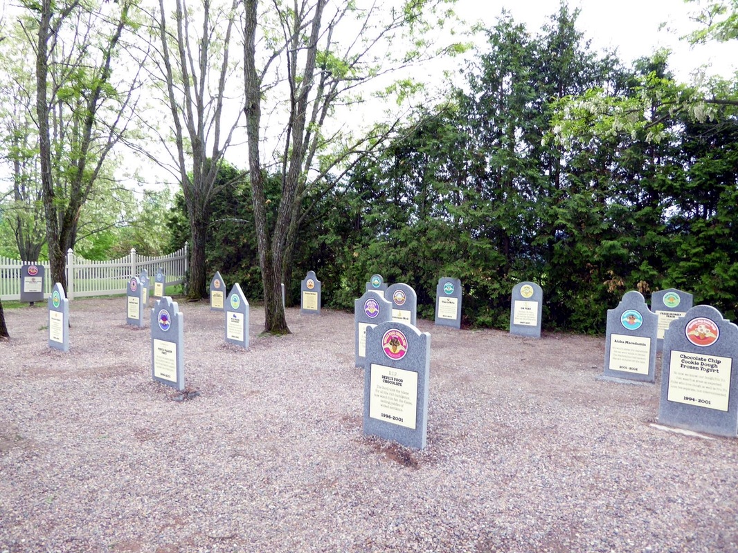
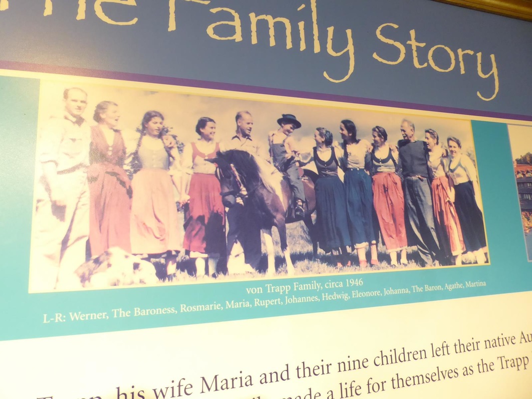
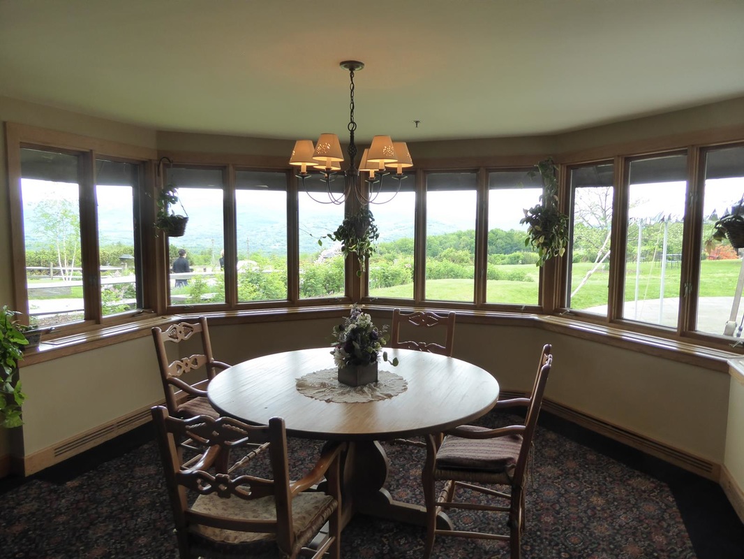
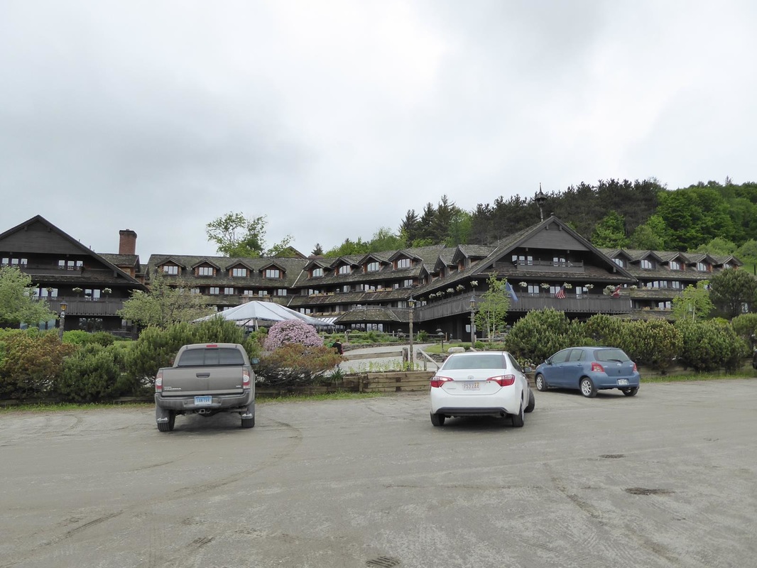
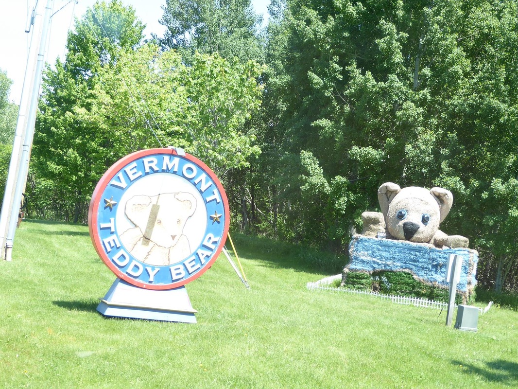
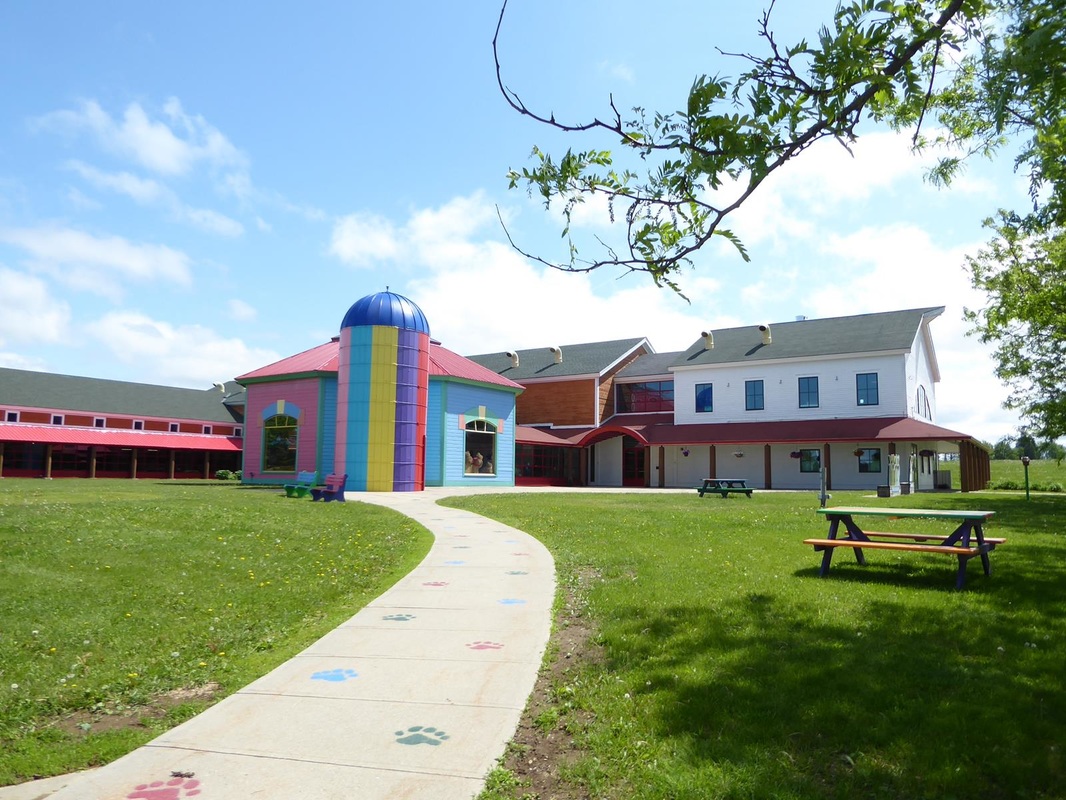
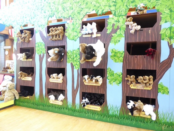
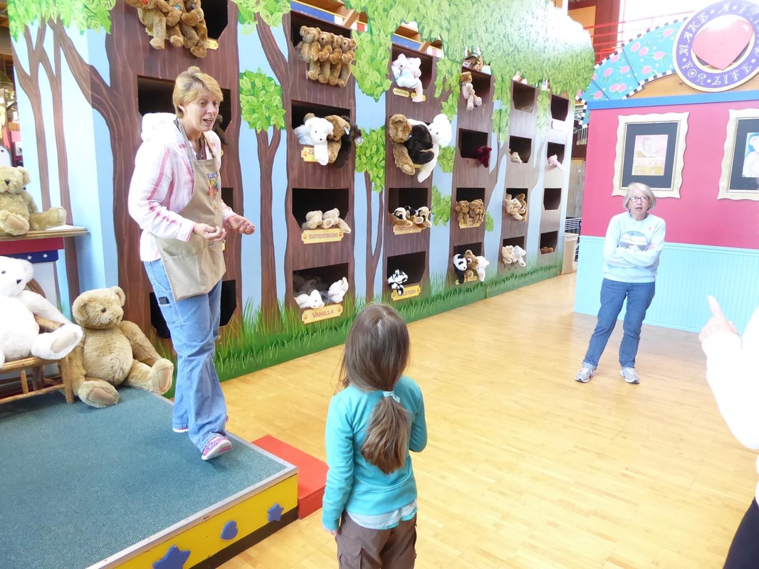
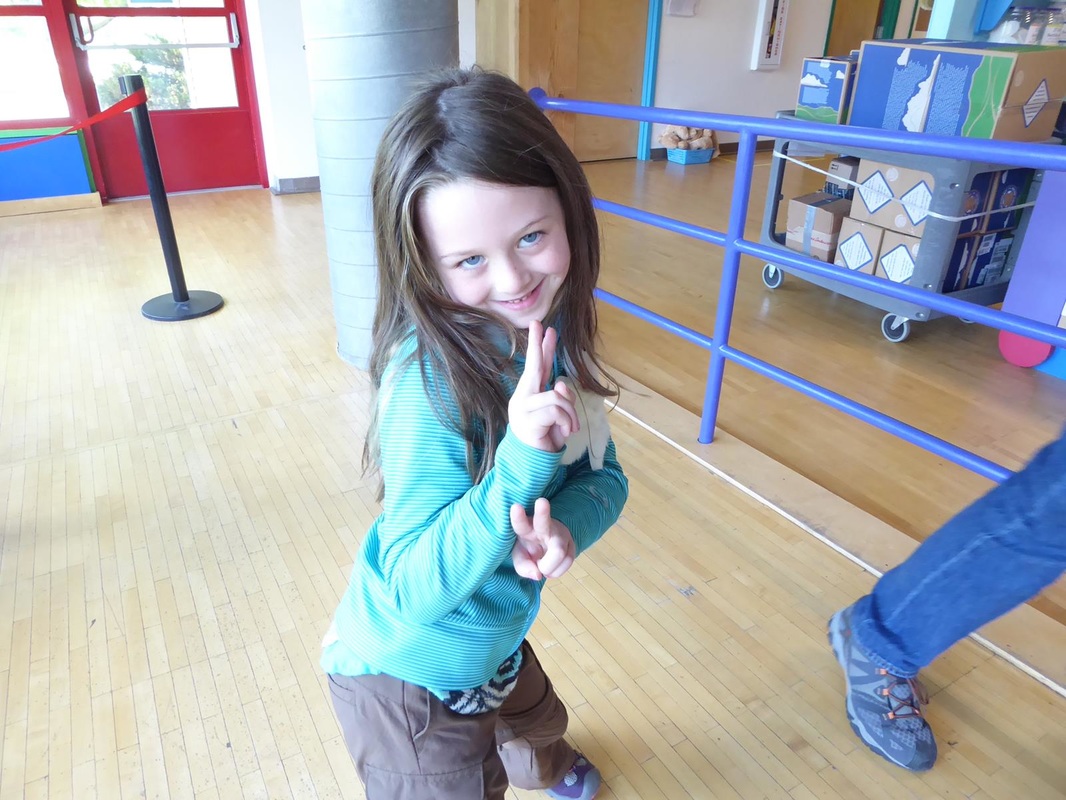
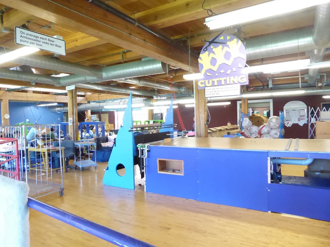
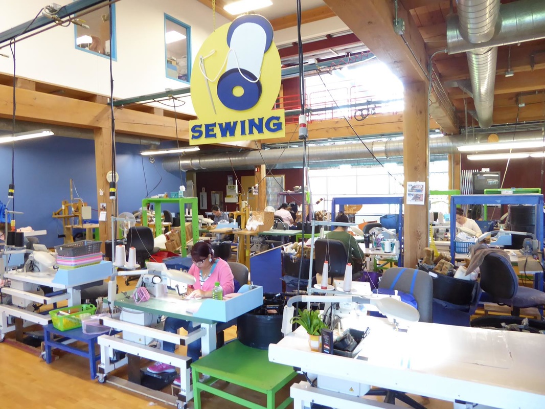
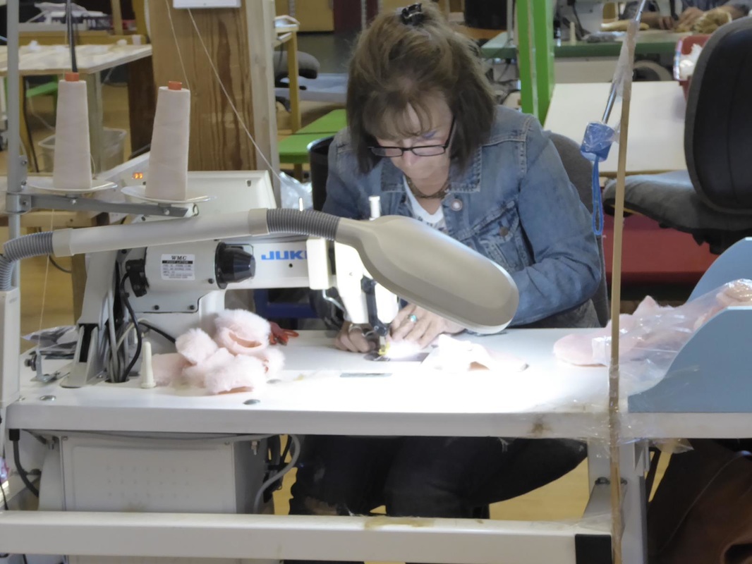
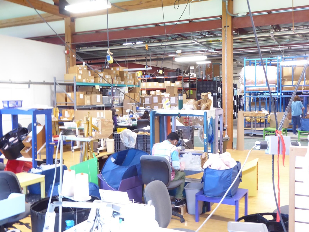
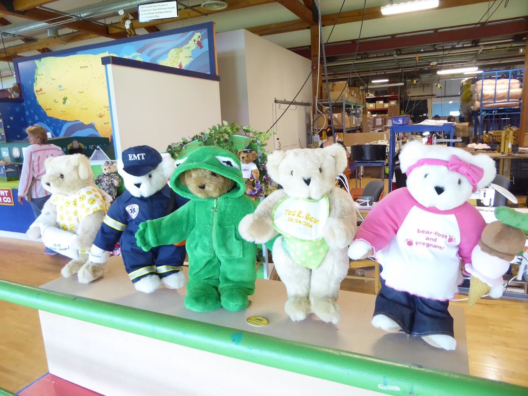
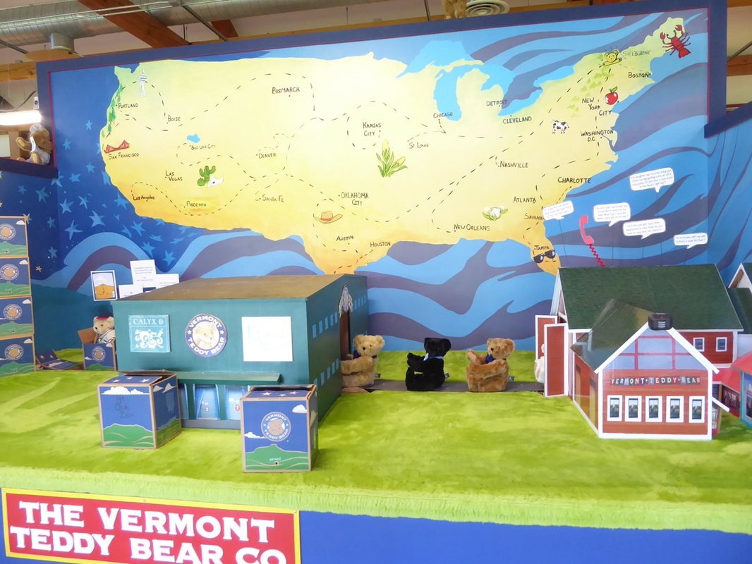
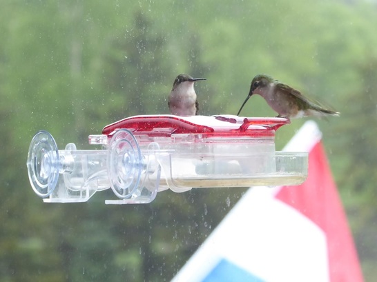 A neat hummingbird feeder on the window of the Visitor Center. The New Hampshire/Vermont countryside looks a lot like the Pacific northwest. We took backroads across these 3 states, mainly because there are no 'front-roads' or any kind of major highway. There are some that run north and south, but not east-west. Mary Lou said she hadn't thought of Vermont being so mountainous. I said that's because she never really thought of Vermont at all. Prior to this trip, we signed up for 'Boondockers Welcome', which is a network of RVer's who have a place for other RVer's to camp out on their property. We finally found one available that fit our needs, in a clearing in the deep woods of Vermont. The owners have a paved parking spot with full hookups. They were gracious hosts and we enjoyed our stay there. There were several things to do in the vicinity of Burlington, Vermont. One of these is a tour of the Ben and Jerry's Ice Cream factory. Photography was not allowed on the tour, especially since they found out we were spies for Blue Bell. There were a couple of cows near the parking area, but I think they were 'throw-down' cows for effect.  There was also a graveyard for flavors they tried but didn't make it. Also nearby in Stowe, Vermont, is the Trapp Family Lodge. This was started by the Trapp family whose story was the basis for the movie "The Sound of Music". They made it here in 1938 and started the lodge in 1942, in a setting that was reminiscent of their native Austria. 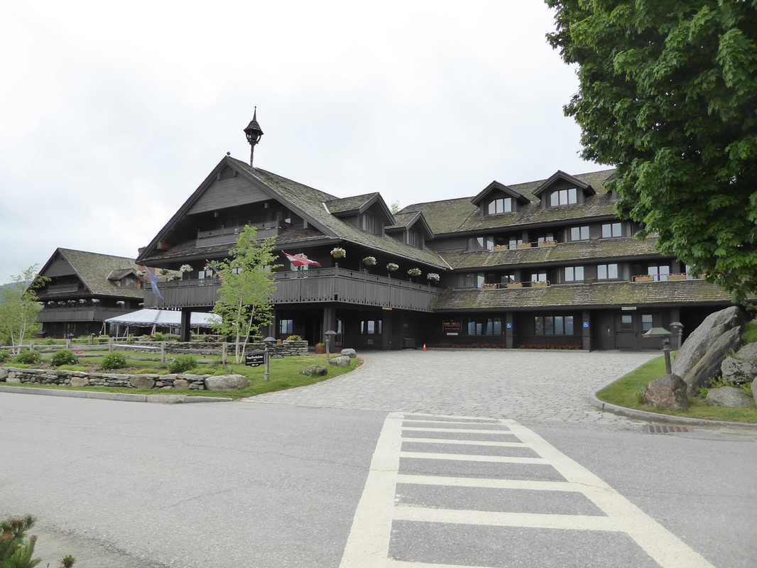 And finally, on the way south out of Burlington, we visited the Vermont Teddy Bear Factory. This was a fun stop. 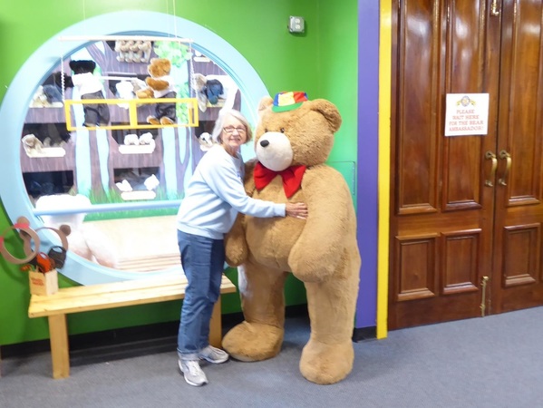 Mary Lou found a new friend.
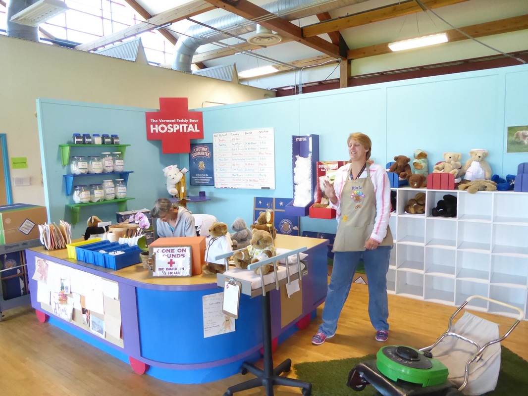
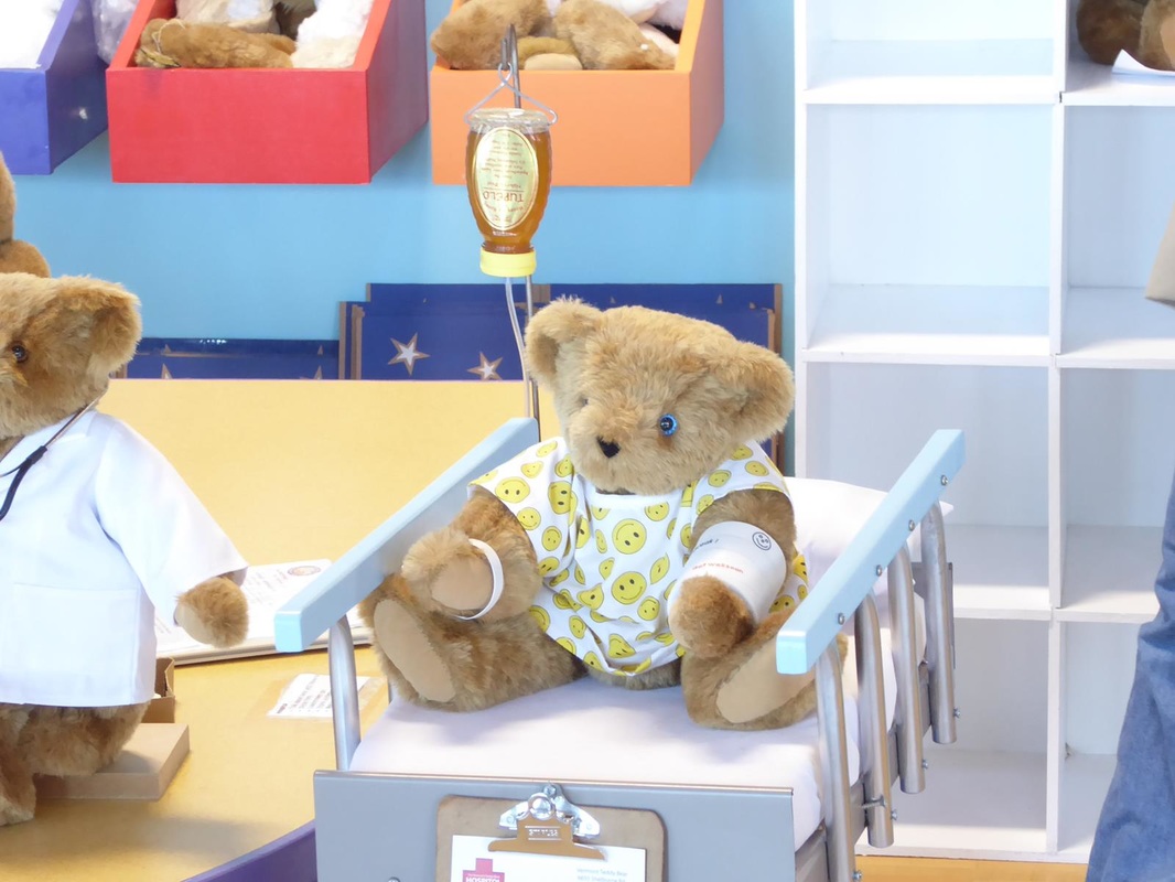
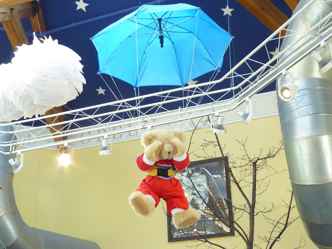
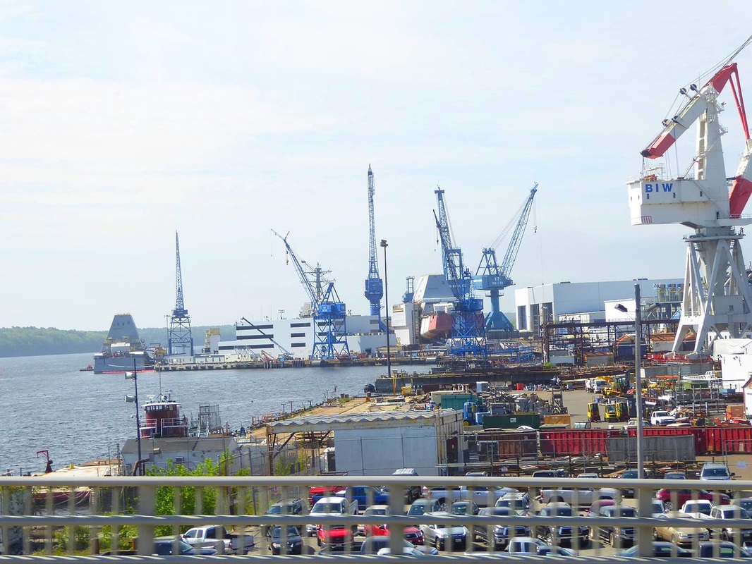
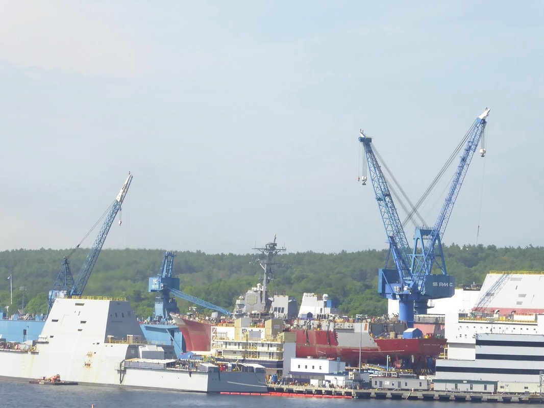
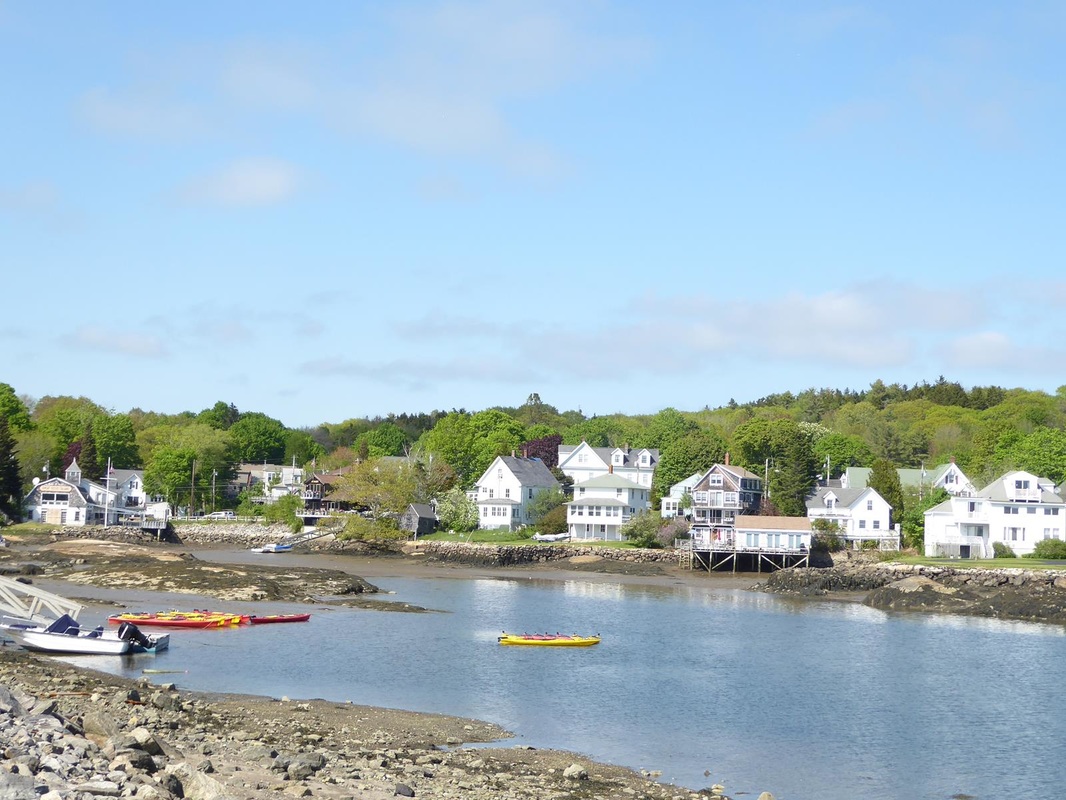
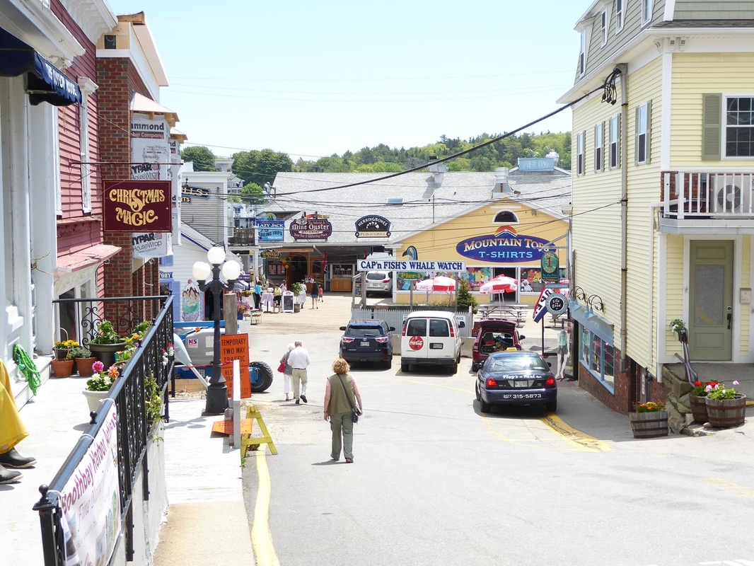
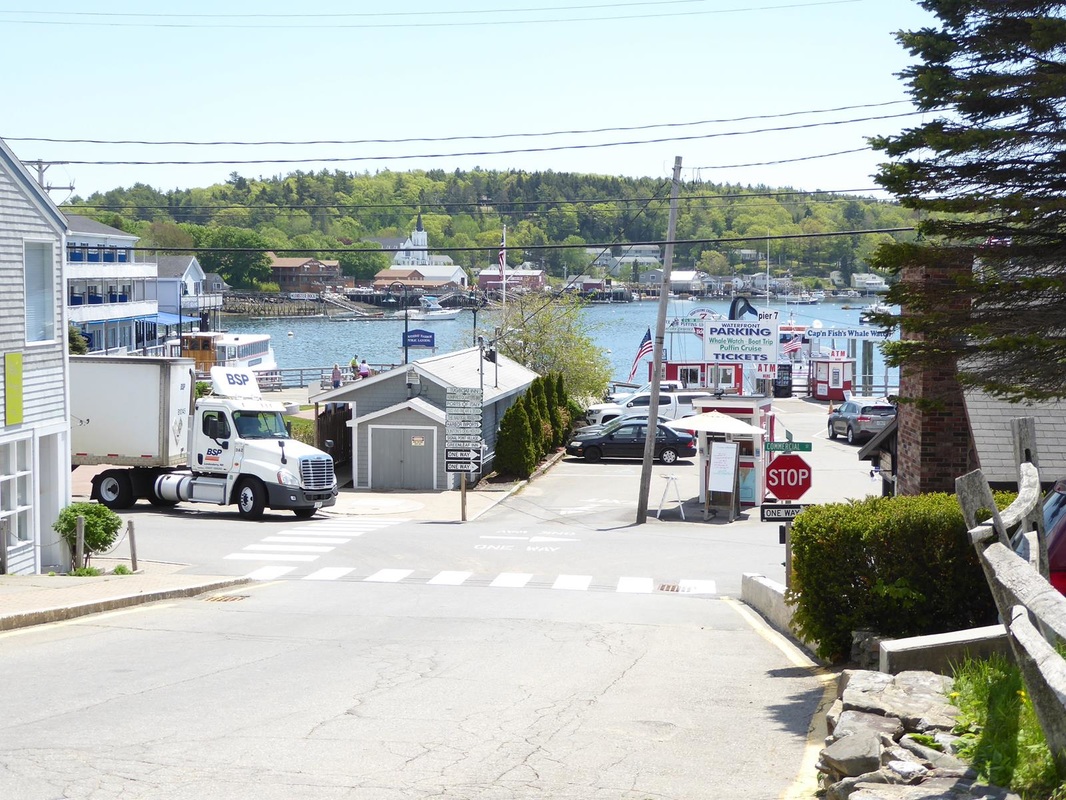
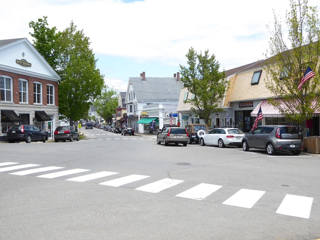
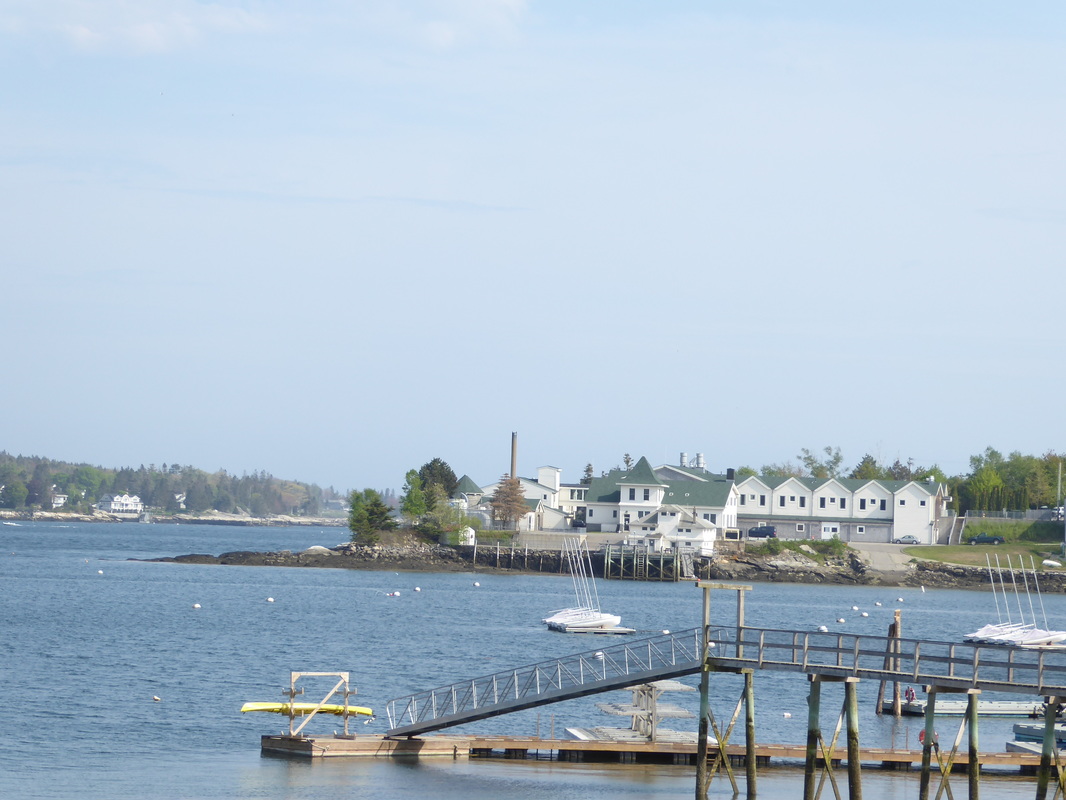
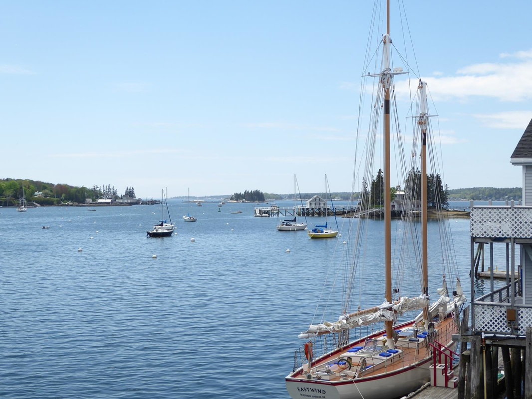
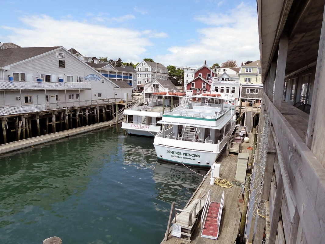
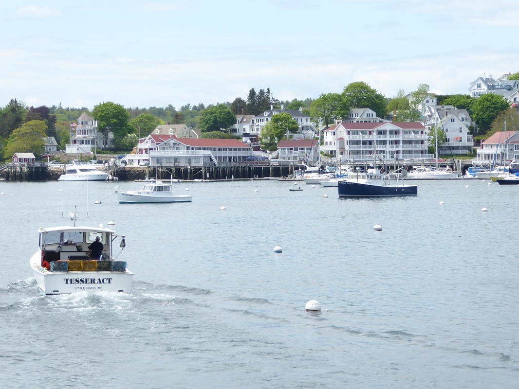
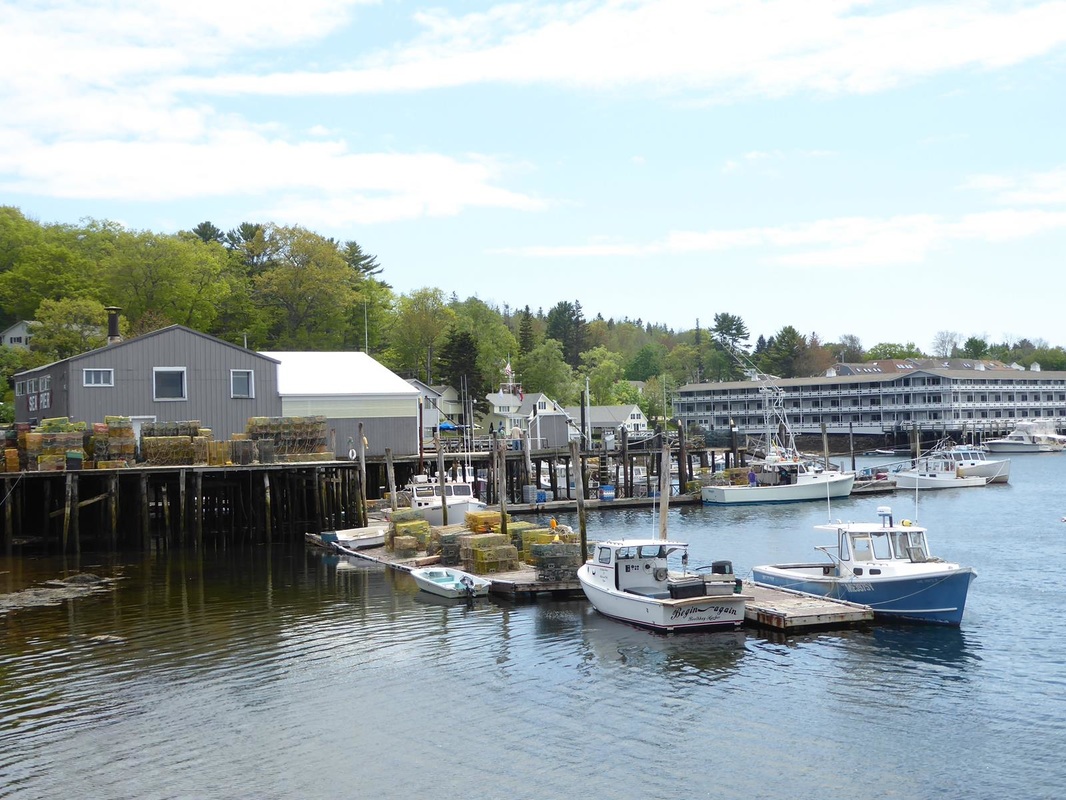
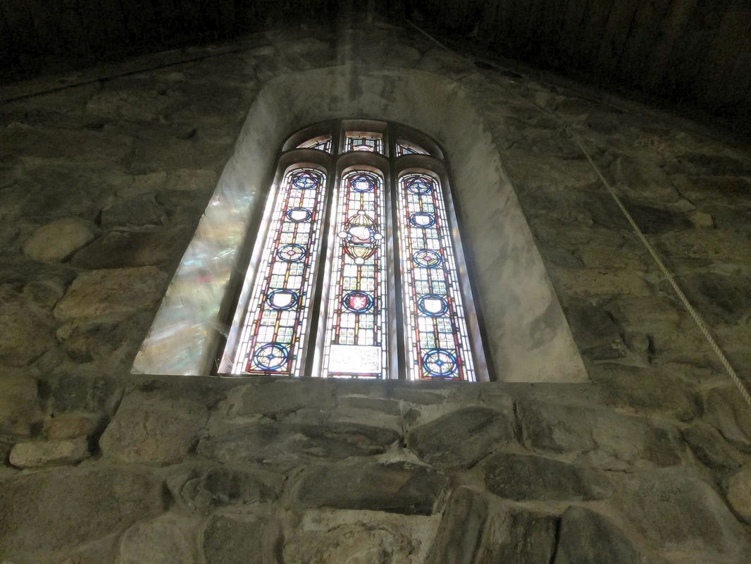
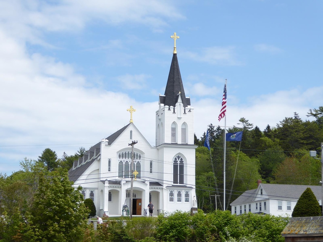
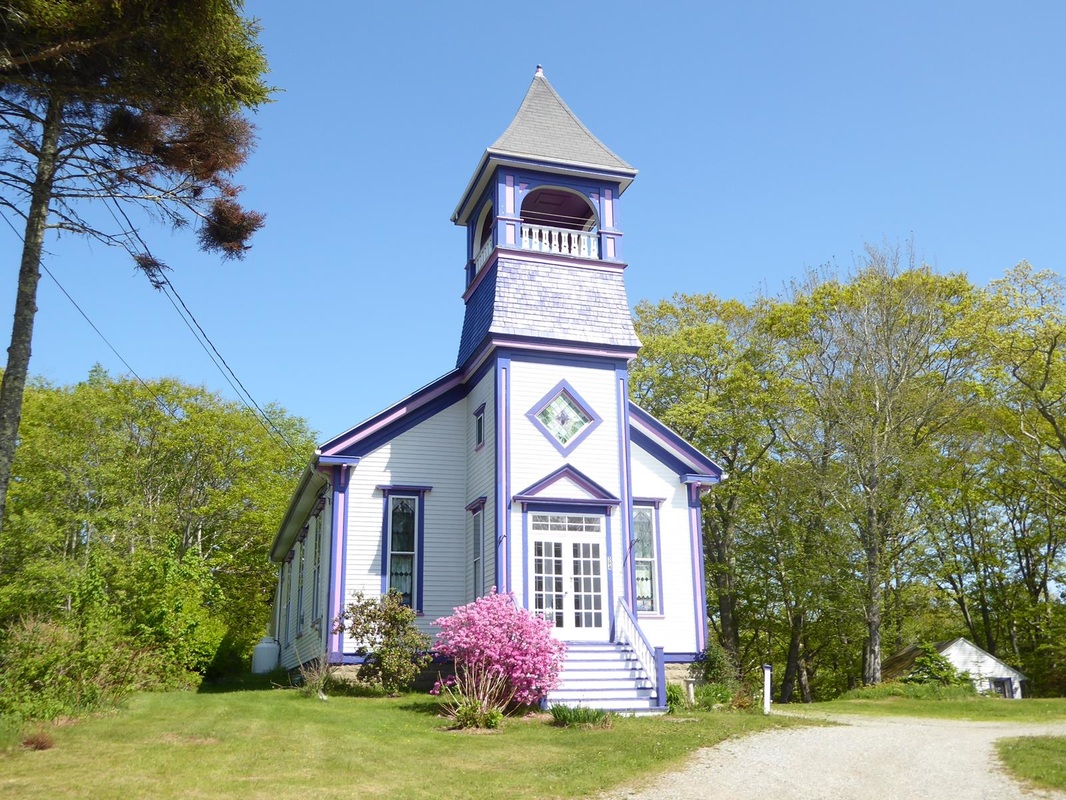
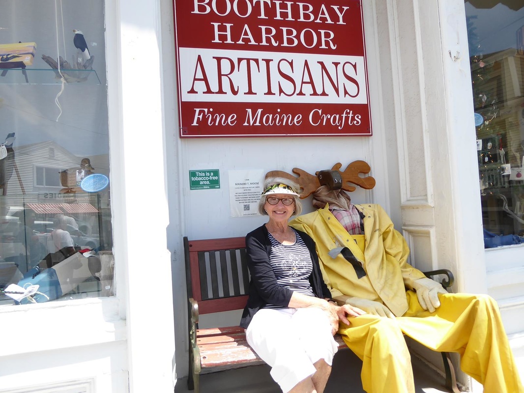
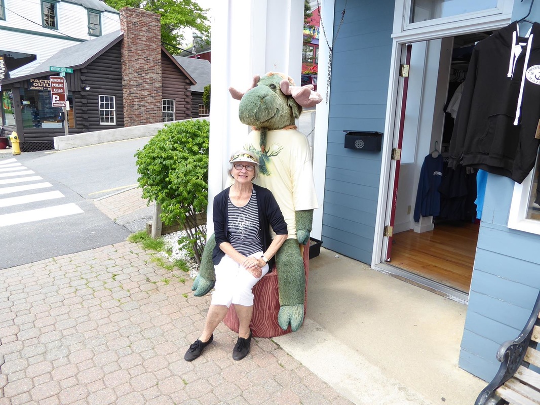
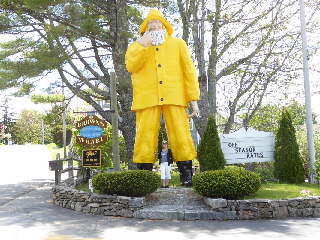
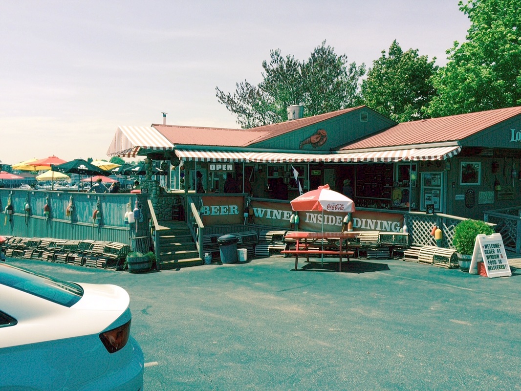
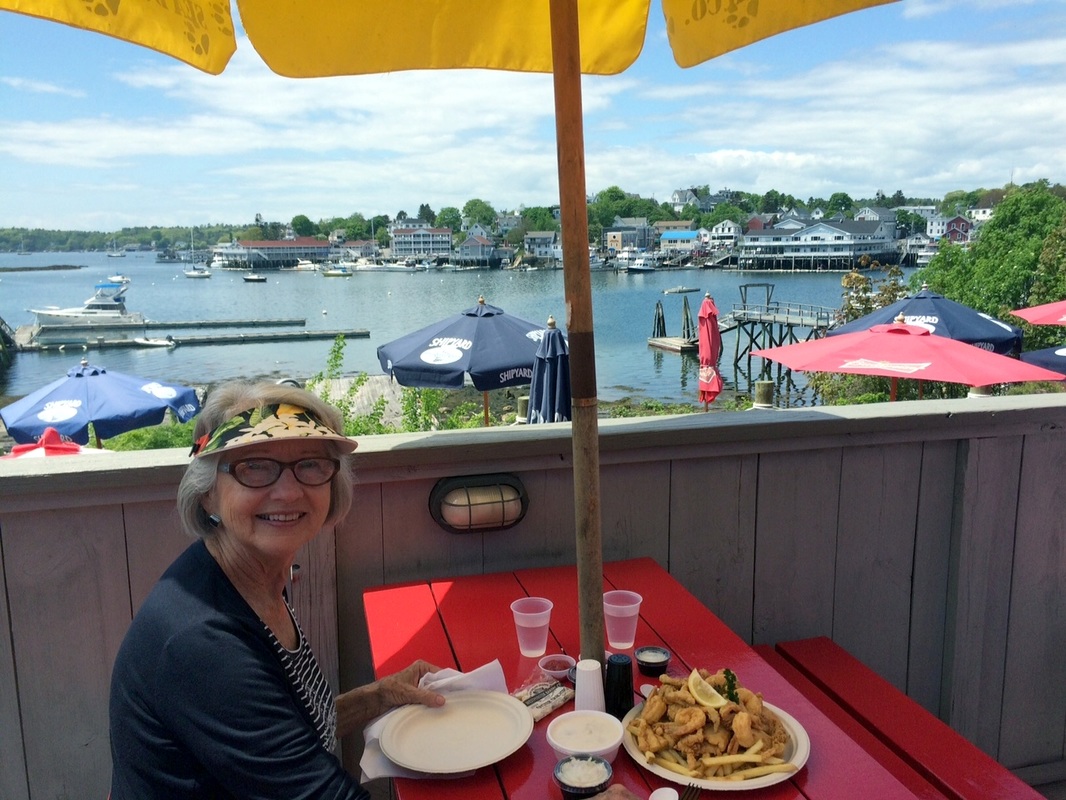
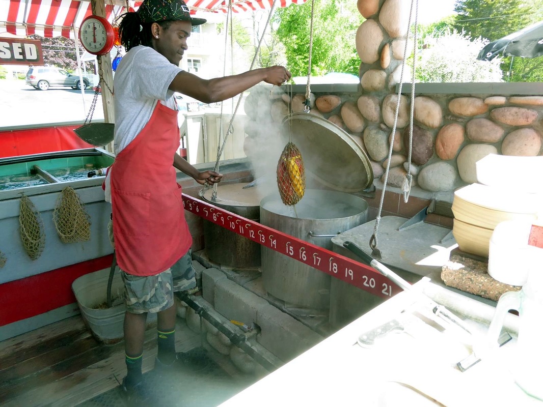
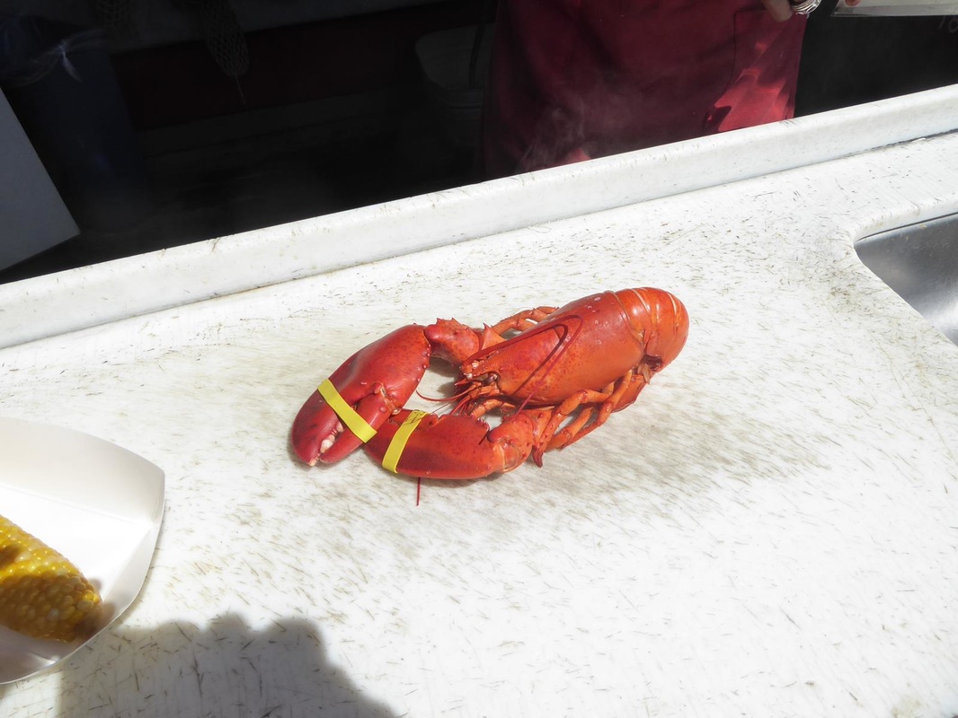
There was a beautiful and precocious 5 year old girl who kept the tour guide on her toes. Other scenes. There is a hospital for damaged or broken bears. They have a lifetime warranty. Note the IV - honey. And the gift shop. Burlington, Vermont, is the northernmost part of our trip. So it's all downhill from here (on the map, anyway). But the adventures aren't over. Stay tuned. 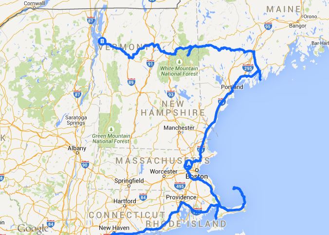 Before leaving Boothbay, we had to visit the Coastal Maine Botanical Garden, rated among the top 5 or 10 in the nation. Below is a 'slideshow'. It runs thru the pics, you can pause it, or click the arrows, or click on a thumbnail under the picture. A series of fascinating 'sculptures' were featured throughout the gardens. They all were moved by the wind. All had slowly spinning or shimmering metal shapes and with some, the whole thing rotated. They seemed to be continually dancing with wind and light. Totally captivating. 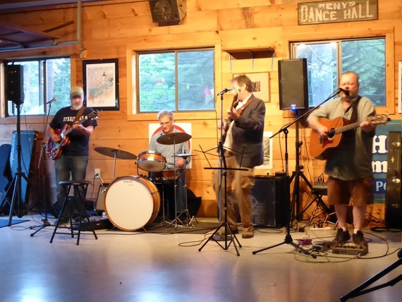 Saturday evening the campground had a very good band in the Rec Hall. Sunday after attending the little Baptist church, we waited for a break in the rain to unhook and dump tanks, then headed west in slow, steady rain. Stay tuned. 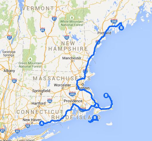 Free at last, Free at last. We depart the Boston area heading north, away from the last of the big cities on our too-aah. Cutting through the southeast tip of New Hampshire (only 20 miles) we entered the pretty countryside of Maine. We passed through the town of Bath, Maine which is significant for it's oldest and most prominent industry, Bath Iron Works. Bath Iron Works is a major shipbuilding company that turned out 82 destroyers and other ships during WWII. This includes the USS Taylor (DD-468) in 1942, which is the ship I served on in 1962. Also built at BIW was the USS Taylor (FFG-50), the ship we saw decommissioned in Jacksonville (see Trip Report #2). The campground we picked out in Boothbay, Maine turned out to be great. We got the prime spot and it happened to be the only weekend of the year when they have two nights - get one free. Since it's such a great spot, we're doing that. Note the water. This is actually a river, but subject to the tidal action of the Atlantic. High tide has been in the morning, and low tide (mostly mud then) is in the afternoon, about 7-8 hours apart. Then another cycle in the nighttime. Don't forget to click on the smaller images to enlarge. It's difficult to know where to start in describing Boothbay Harbor. We think it has as much or more 'quaint' as Cape Cod or Martha's Vinyard. Maybe we'll start thinking of it as 'charming'. This area is a popular tourist spot as well as a place for summer homes for the well-to-do. Our weather has been delightfully bright and sunny, temperature in the 60's. Everywhere people are out, sitting in the sun, or puttering in yards or on boats. See the lady? 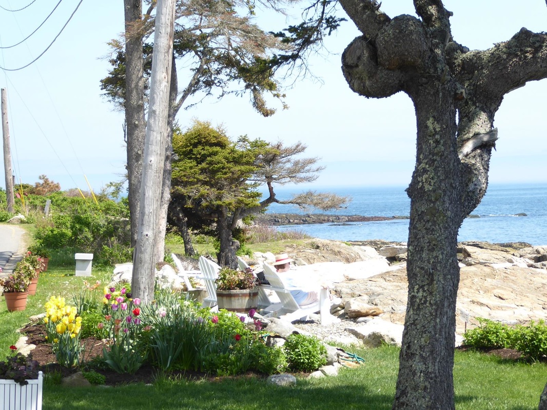 Houses around the harbor tend to be more upscale summer homes or rentals, while on the interior roads, there are new and old, but rather separated and somewhat secluded in wooded areas. 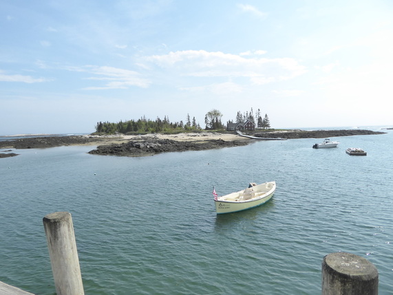 Some of the little islands have houses on them. The shopping area is quite 'charming' and easy to access (not too crowded yet as the 'season' is just starting - everything closes for the winter). Harbor scenes are also 'chaa-ming'. The tide is low in most of these pics. 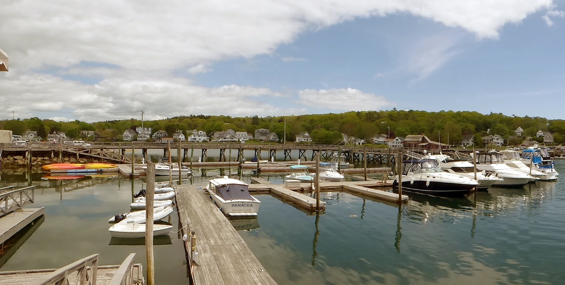 Lobster boats are everywhere. The things that look like hay bales are lobster traps. We see them on piers and in peoples' yards. The colorful items on the side of the building are called 'pot buoys' and they are like corks or bobbers on a fishing line. Each lobster man has his own color scheme so he can readily identify his traps There are several lighthouses here. The center one below can be rented as a B&B in the 'keepers' quarters. And unusual churches. This one was built by a man in memory of his wife. Services are held here and it is a popular place for weddings. The blue church had a sign out front identifying the chapel, then the notation 'Vacation Rental'. Go figure. Remember our West Coast trip where Mary Lou always made new 'friends'? Well, she found some here. This place was recommended by our campground people and was featured on the Food Channel in a 'Crabcake Throwdown with famous chef Bobby Flay. We shared an excellent seafood platter in a quaint setting. We did most of our sightseeing on Friday. Saturday we visited the Coastal Maine Botanical Garden. This will be the subject of the next Trip Report, but following that we went back to what became our favorite restaurant to have our obligatory Maine lobster. 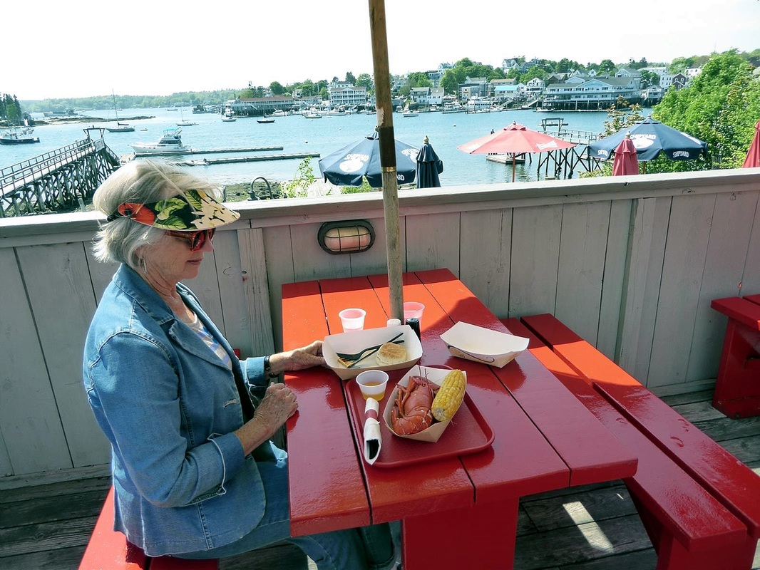 And so we enjoy our late lunch, then linger awhile, savoring our final moments in this fantastic place.
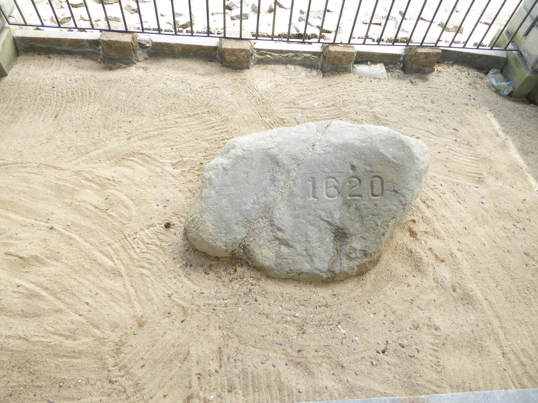
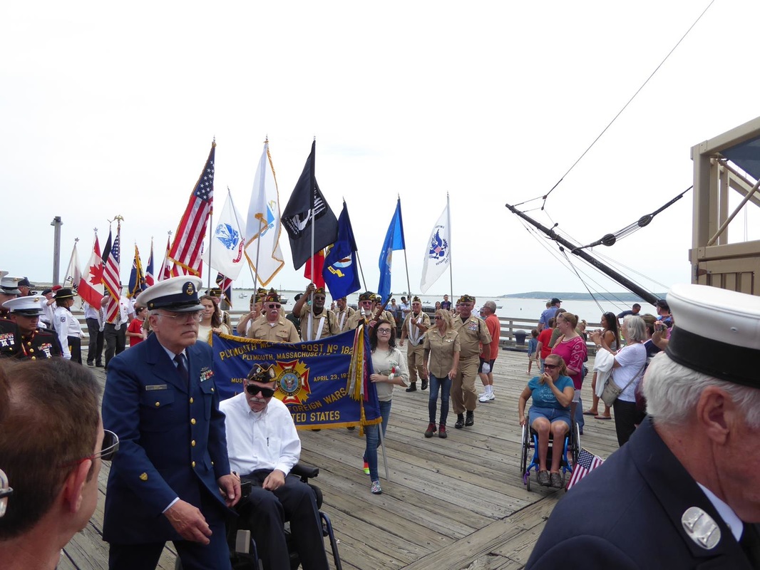
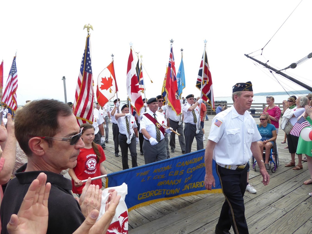
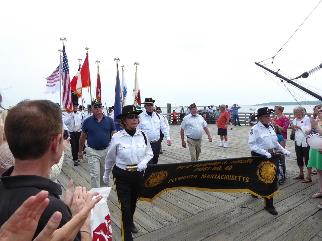
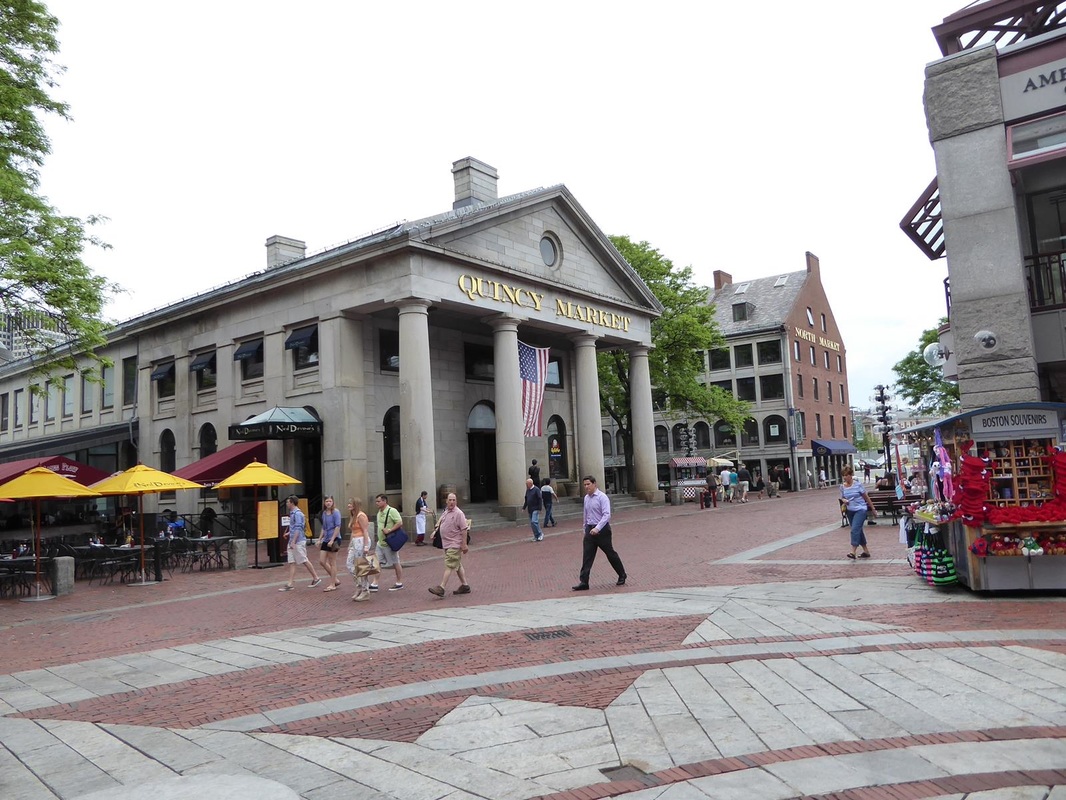
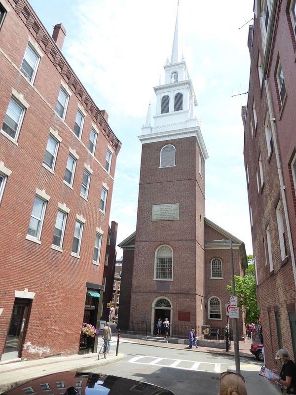
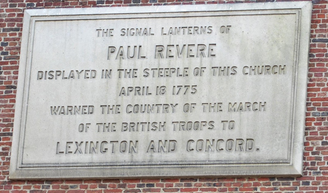
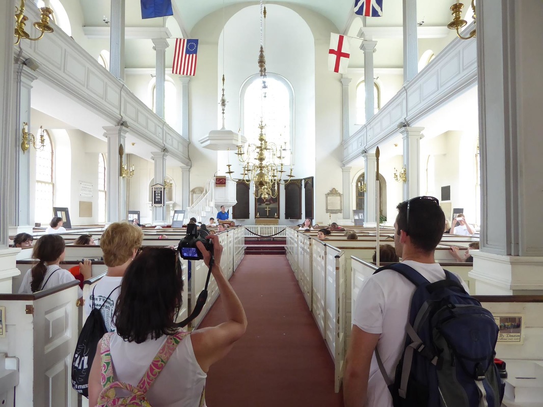
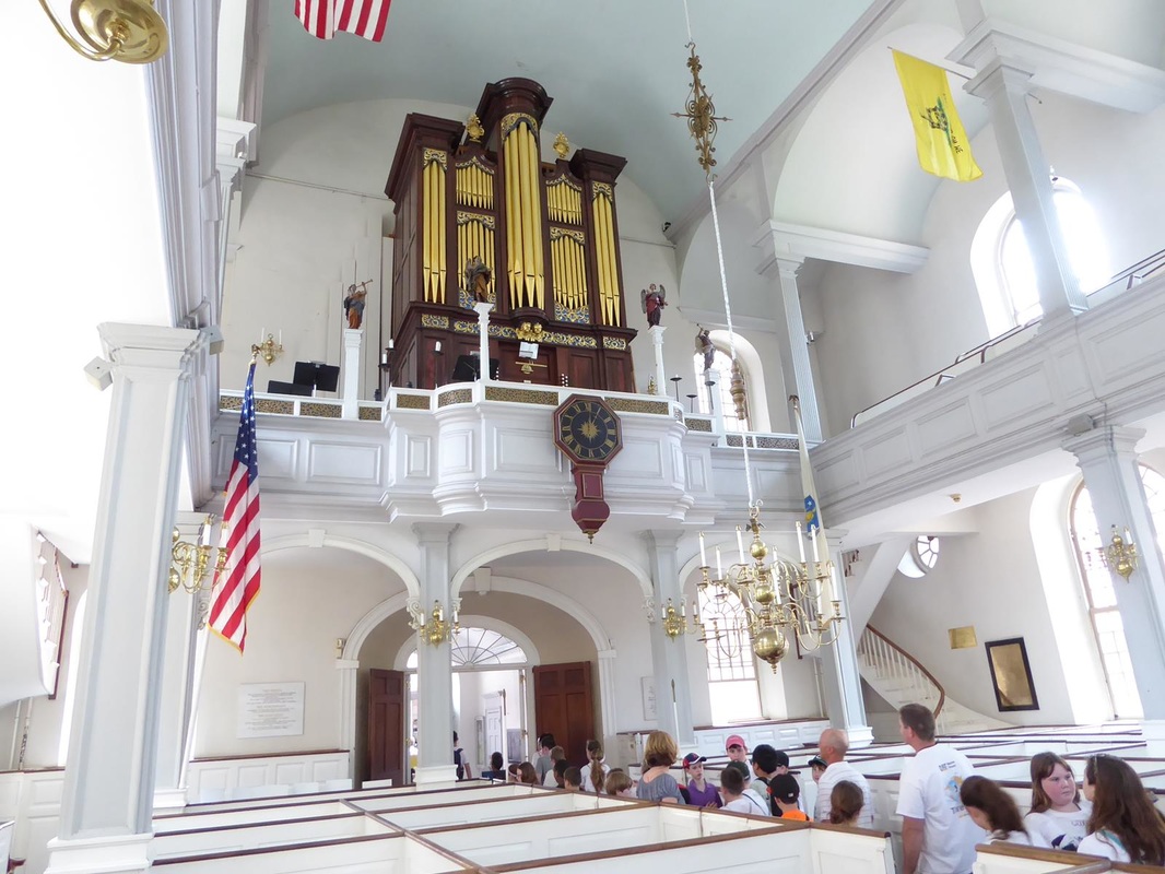
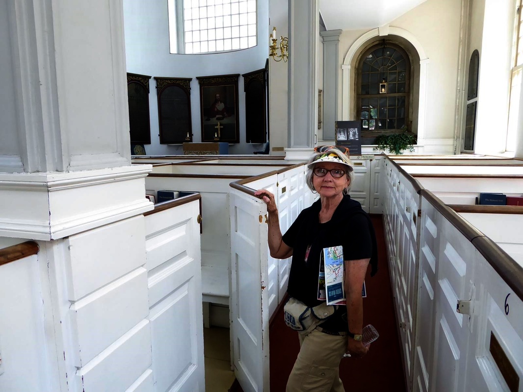
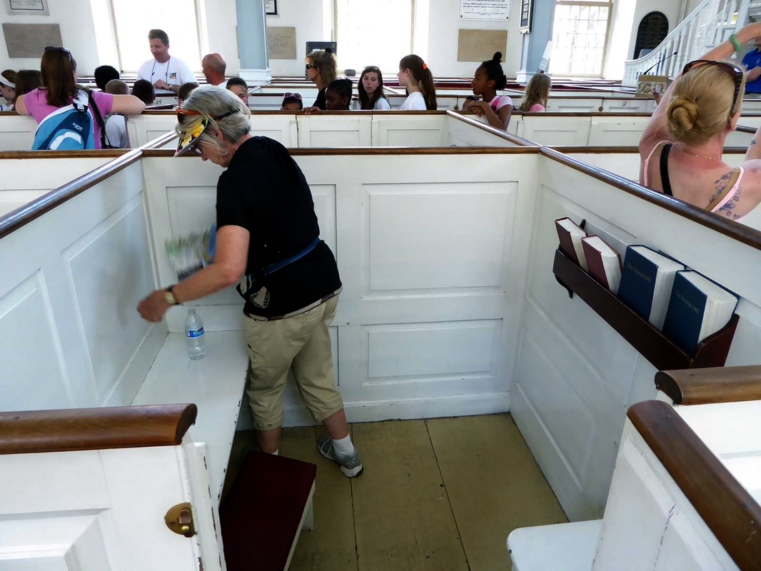
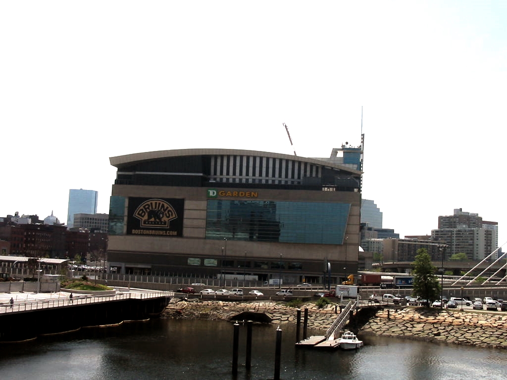
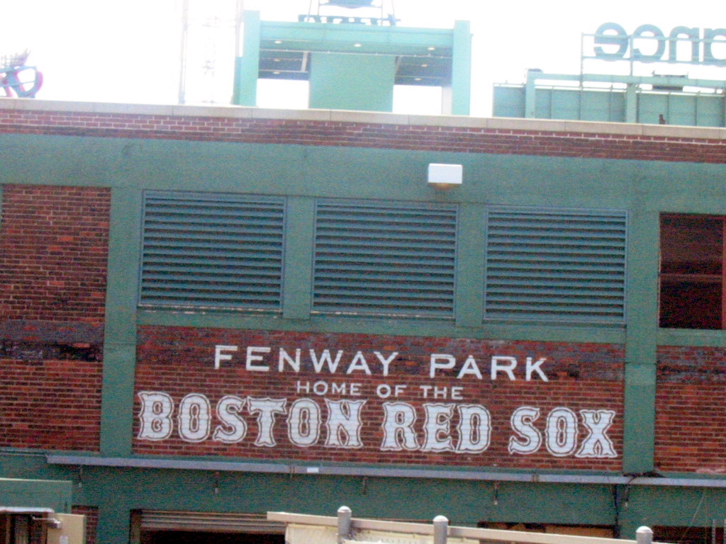
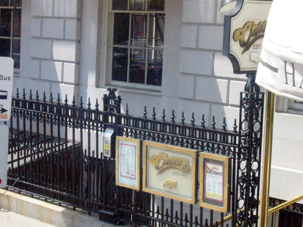
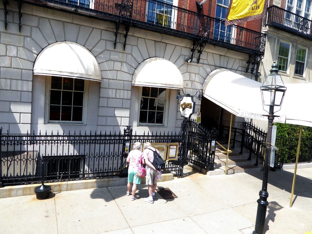
Tomorrow we leave the Atlantic coast after 4 weeks and head west. This has been the easternmost part of our trip. Stay tuned. NOTE: We are keeping up with the terrible weather in Texas, mainly through national news. Praying for those suffering from loss. Here are a few things about Boston that I thought of after the last report. 1). I always knew people from Massachusetts talk funny, but I really didn't know they don't pronounce their R's. A couple of them even mentioned that. An example might go like this: Paaak the caa to go on the too-aah. Translation: Park the car to go on the tour. 2). The Battle of Bunker Hill was actually fought on Breed's Hill. It seems that because of the courtesies of war the Colonists and the British got together and agreed to fight the next day on Bunker Hill. Go figure. Anyway, during the night the Colonists dug in on Breed's Hill, and so had the advantage when the British discovered where they were and came over to fight. This is definitely not a factual account and is just a good story by our too-aah guide. 3). As we were riding the trolley we were reminded of the Kingston Trio song about Charlie who got on the MTA and couldn't get off. Seems back then you paid when you got on and also had to pay when you got off. Charlie didn't have the nickel (5 cents) to get off so he 'rode forever on the streets of Boston'. His wife would come down every day and gave him a sandwich through the window, but she never gave him the nickel. 4). The USS Constitution (currently in drydock there in the harbor) was known as Old Ironsides. This nickname came about during a battle when the enemy's cannon shot would bounce off the hull and a British seaman supposedly shouted 'Huzza, her sides are made of iron'. Seems the hull was made of oak about 24 inches thick (triple-layered and sheathed in copper forged by Paul Revere). That's a lot of oak. 5). After visiting the Old North Church, I became curious about where Paul Revere was when he saw the signal lanterns (two - the British rowed to Boston across the Charles River from Charleston -by sea!) and where he rode. Below is a map depicting the ride of Revere and William Dawes. More can be learned online, but here is a link to a short article and map with a timeline of events. 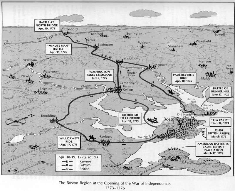 Having enjoyed our stay at the Cape, we headed north toward Boston, with a stop at Plymouth along the way. There are two main attractions at Plymouth: the Mayflower 2 (a replica of the original) and Plymouth Rock. The Mayflower's deck is 80'-90' long, 100'-110' overall and carried about 100 settlers with 30 crew. Pretty small for that many folks spending about 2 months crossing the Atlantic! (in 1620, almost 400 years ago) 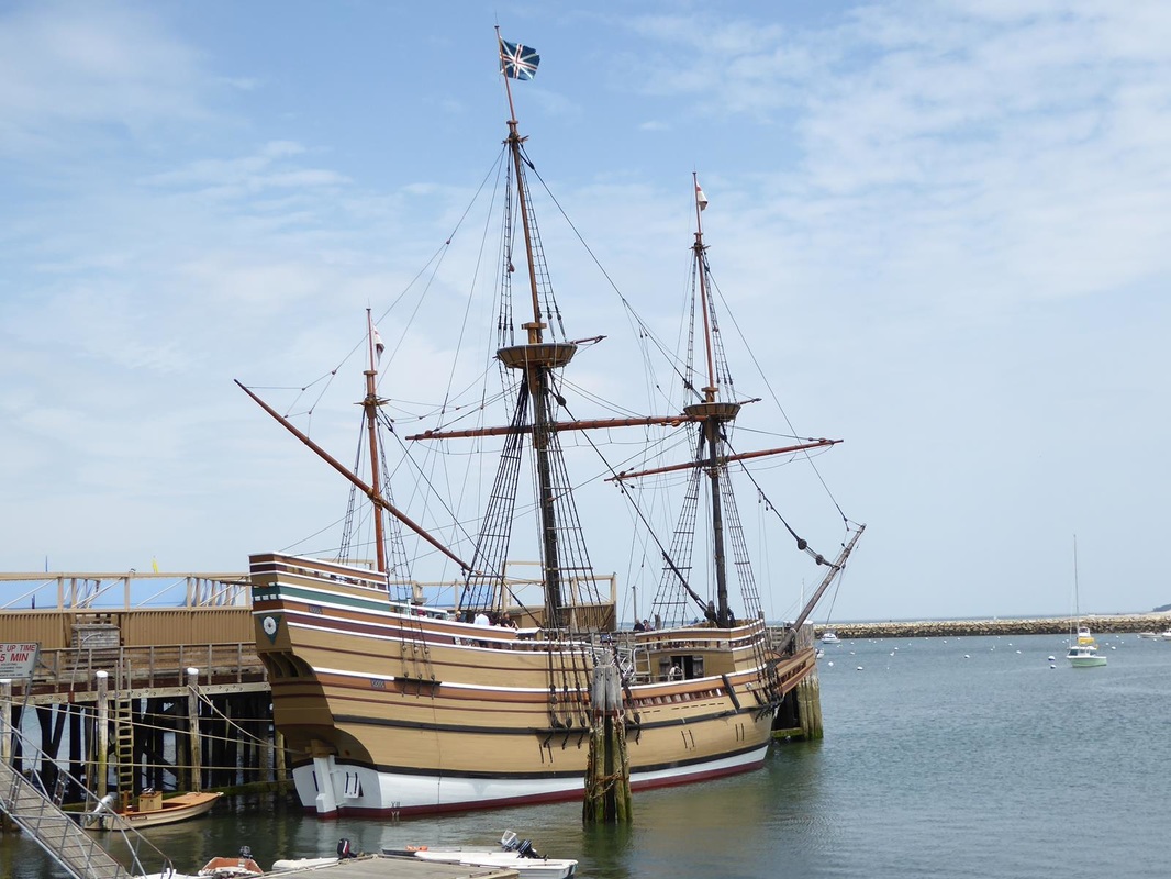 Plymouth Rock is housed in an open air 'gazebo' and is quite unremarkable. There are various stories about how it gained renown. Probably not a rock the settlers stepped out on, it's just symbolic. It's about 5 feet long. 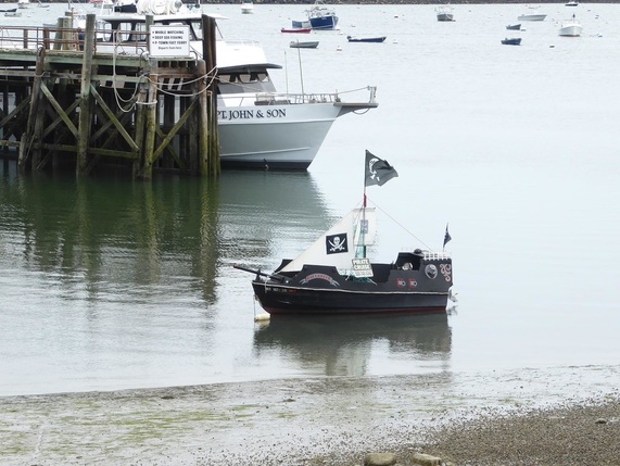 A 'mini' pirate ship was available for hire. 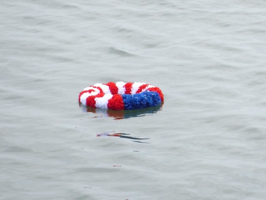 A wreath was dropped in the harbor. We got there just at the end of a Memorial Day celebration on the Mayflower pier. (click to enlarge) We picked a campground about 30 miles southwest of Boston that had easy access to a commuter rail stop. The train ride to Boston took over an hour and we've decided that this is a really good way to commute. The ride is smooth and quiet. In Boston we purchased trolley day pass which included a harbor tour (on a boat). The first attraction was Quincy Market. The history dates back to the 1700's as a food market. Today it's a touristy place with a major food court inside and shops and pushcarts outside. A very pleasant place. Here's our harbor tour boat. 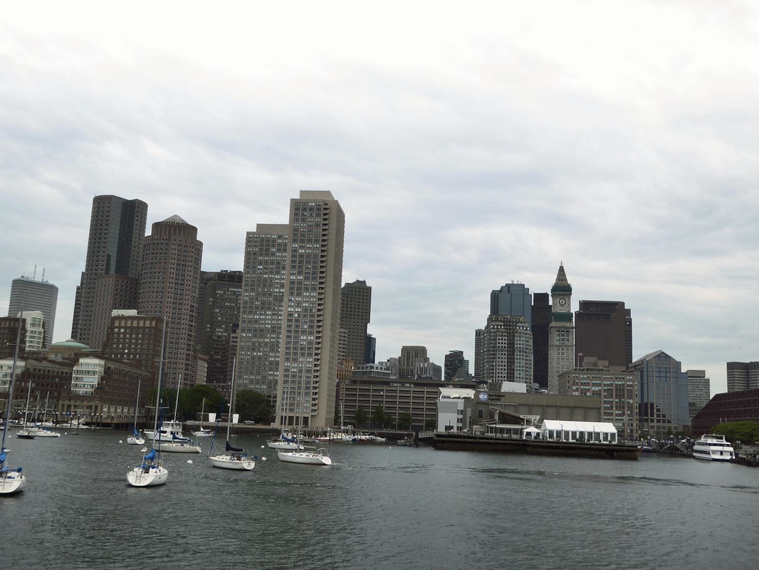 The Boston skyline. An important stop was the Old North Church. This is the place where the lanterns (one if by land, two if by sea) signaled Paul Revere to alert the people that 'the British are coming'. Click the church picture to see the whole thing. 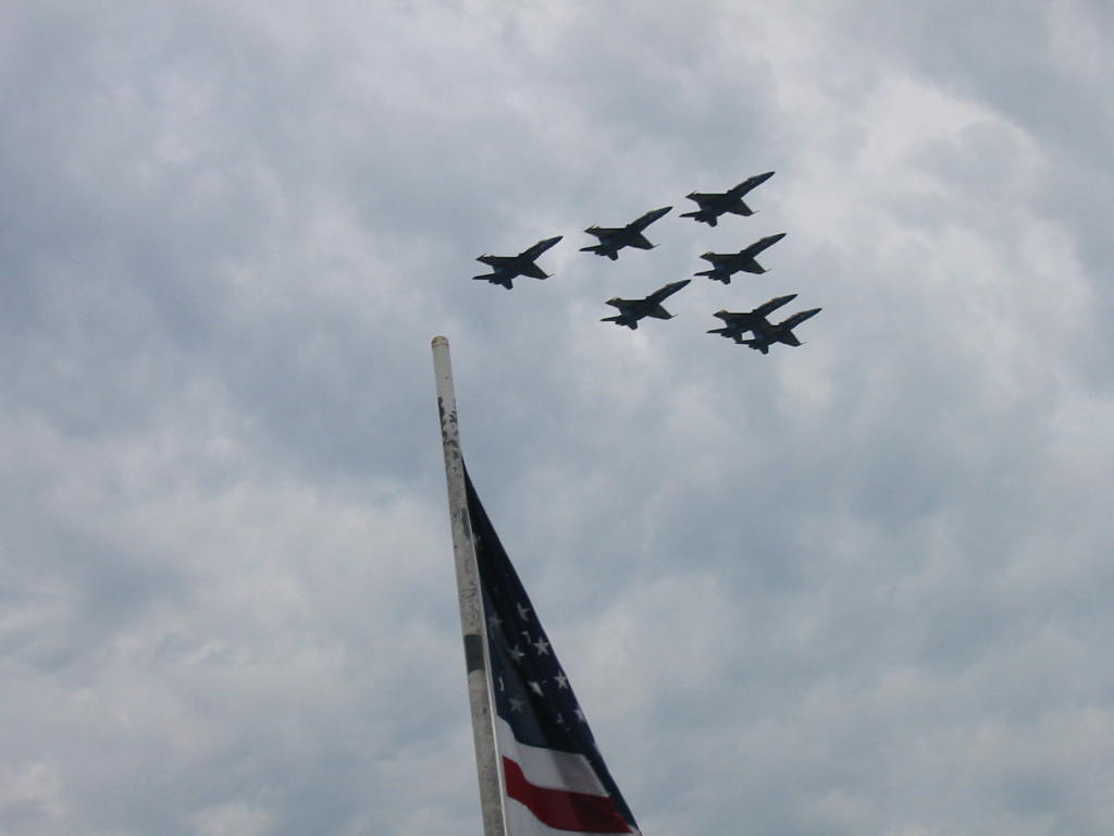 We were privileged to be here on a day when the Blue Angels were doing flyovers for a photo shoot. They made 6-7 passes over the harbor with 3 helicopters hovering high overhead. It's always a pleasure to see them. The church is the original and services are still held there. Typical of the period, the church has 'box pews'. The boxes were bought and paid for by families and the location represented the wealth and status of the family. They had no furniture (the benches weren't there), so the owners furnished and decorated them to their taste, including painting and/or wallpapering the inside. Today churchgoers can sit in any of them. 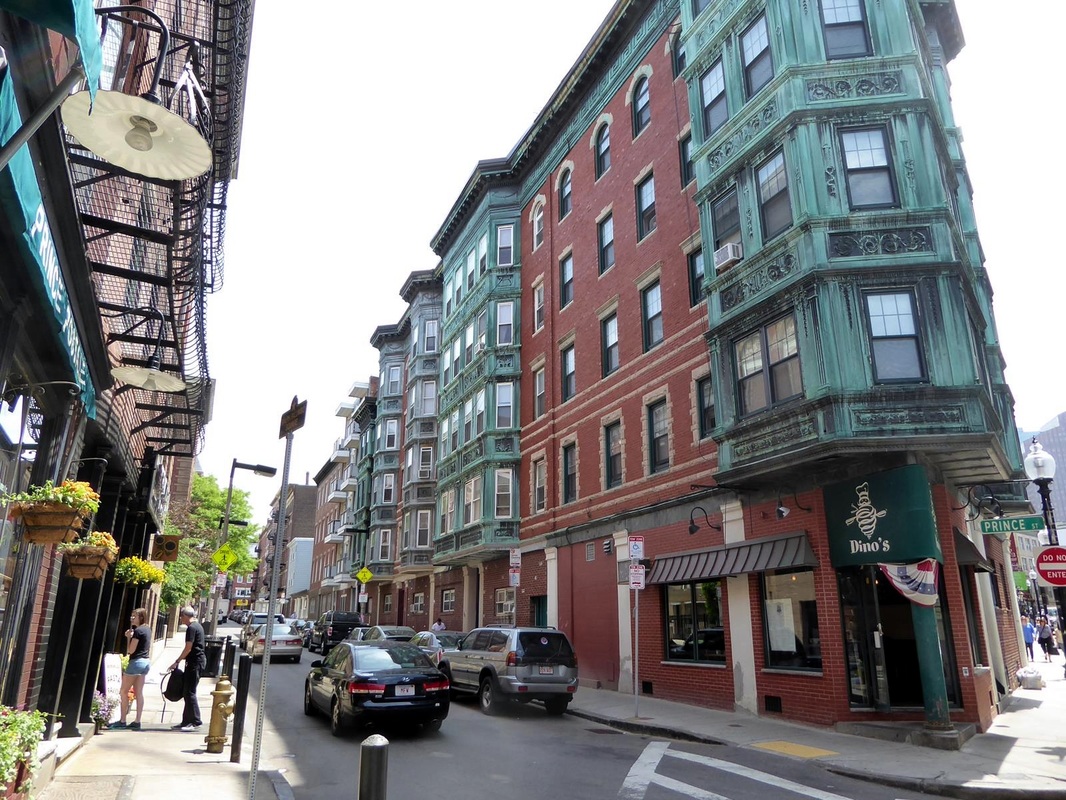 There are many apartment buildings of this style around the city. And the sports venues of the Bruins and the Red Sox. 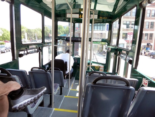 Many of the streets are narrow. I'm glad I didn't have to drive, much less one of these trolleys. Look! The entrance to the Cheers bar - 'where everybody knows your name'. This exterior was used in the popular series but the interior scenes were shot somewhere else. That ghostly looking thing is a net stretched between the buildings is supposed to be 'art' by someone trying to make a name for themselves.  There are other sights to see in Boston, but we had seen enough so we caught our train and were back home by 6 pm. A good day but the last of the big cities on our trip. So we're glad of that.
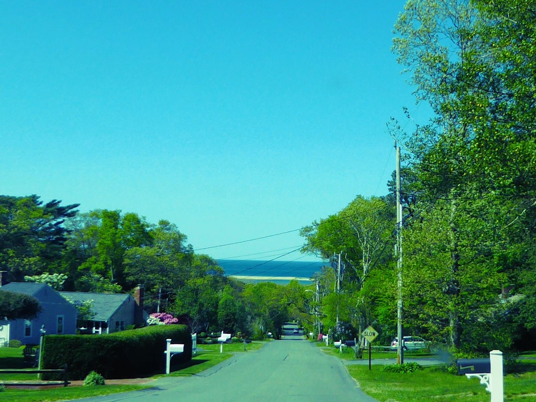
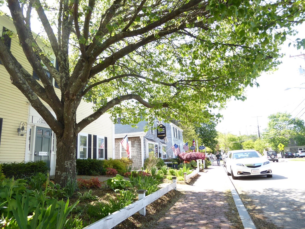
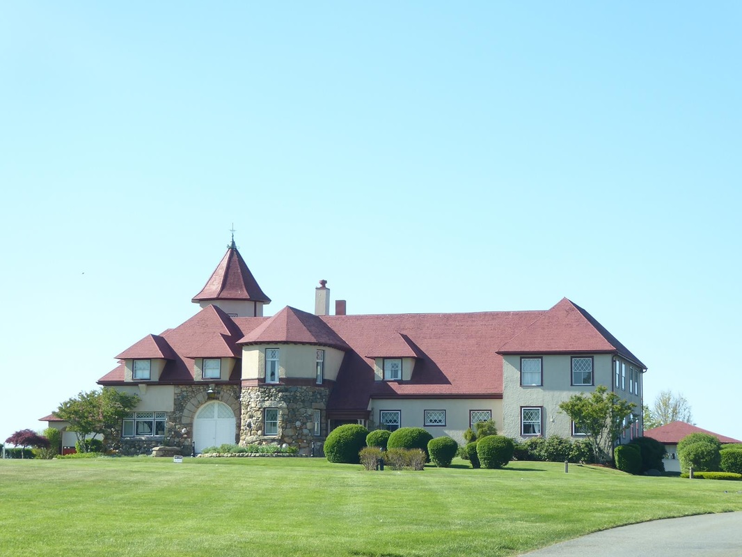
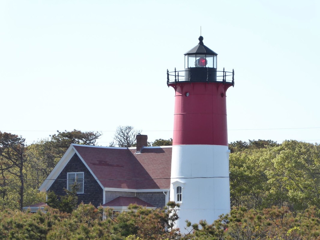
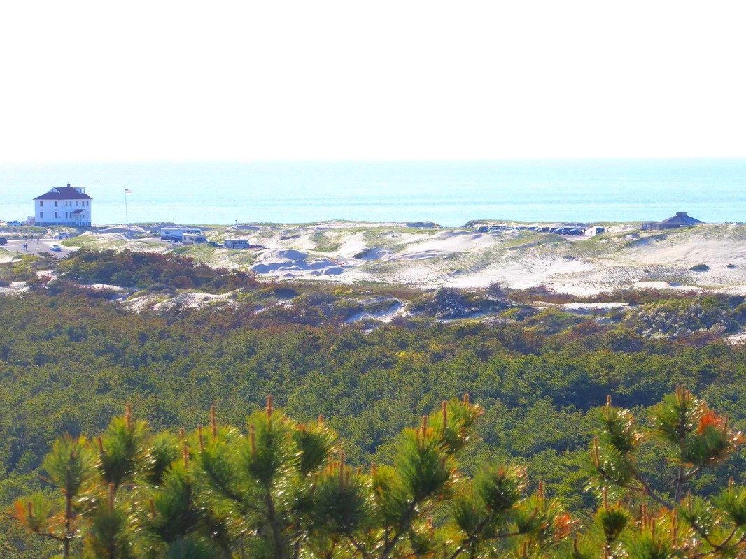
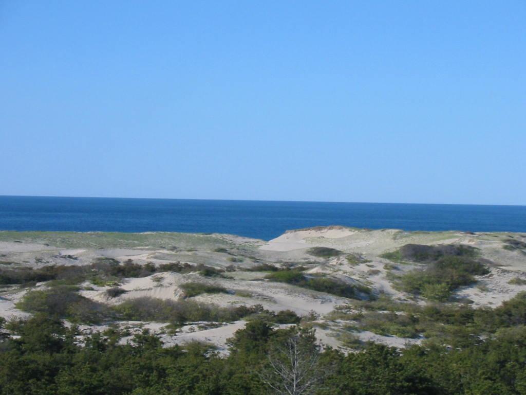
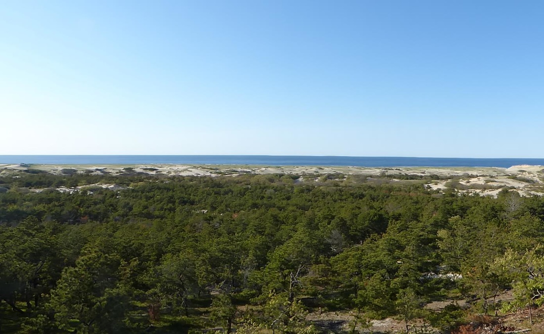
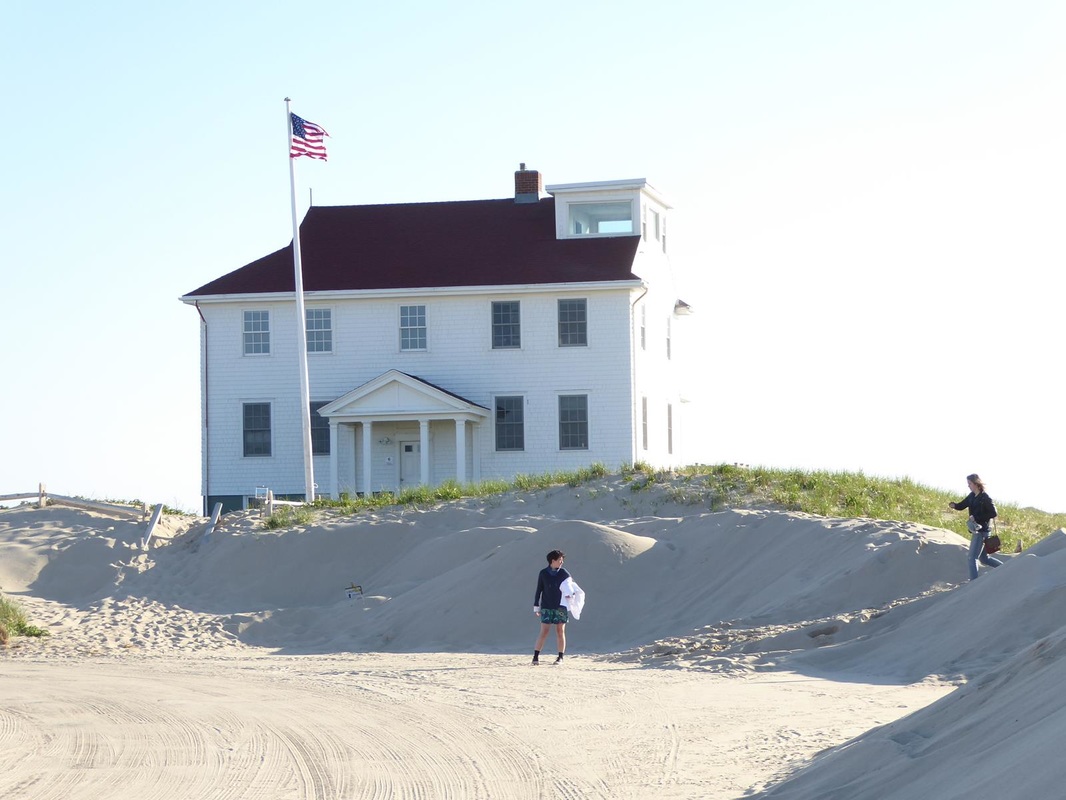
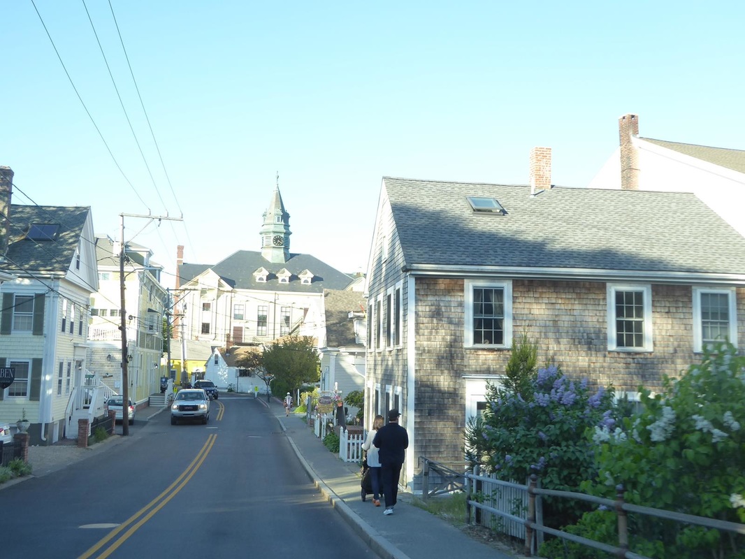
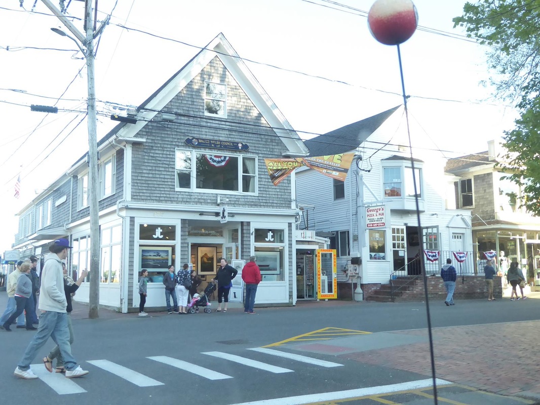
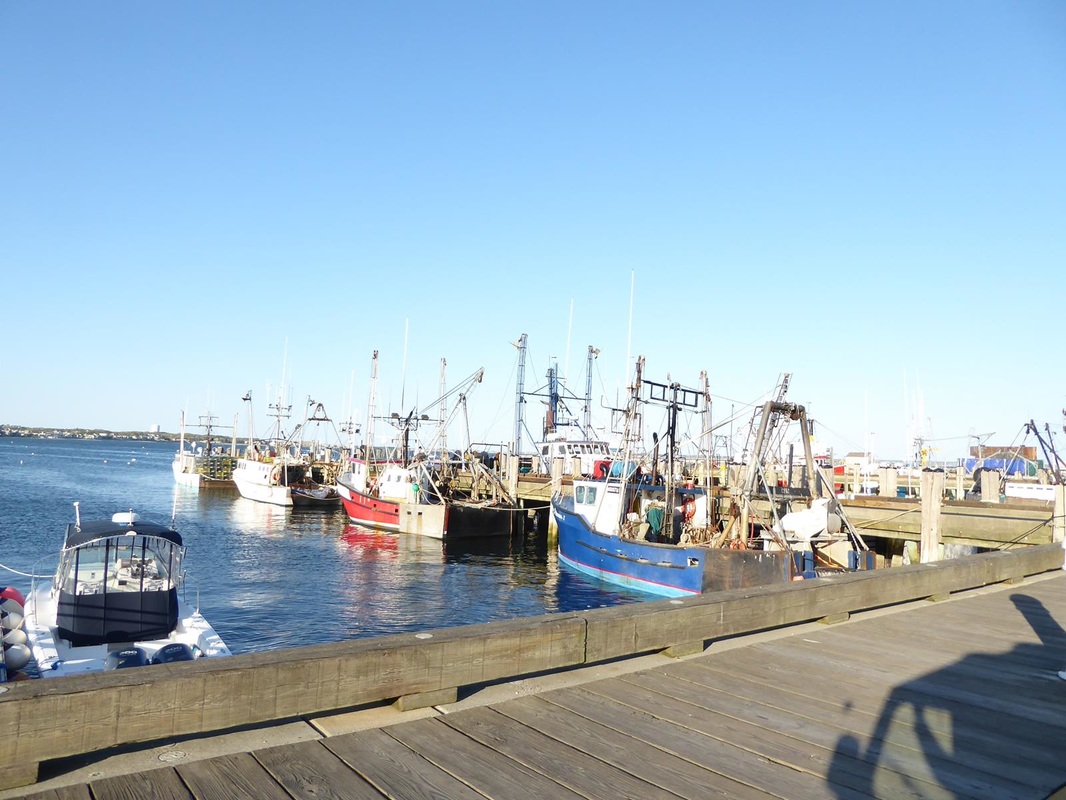
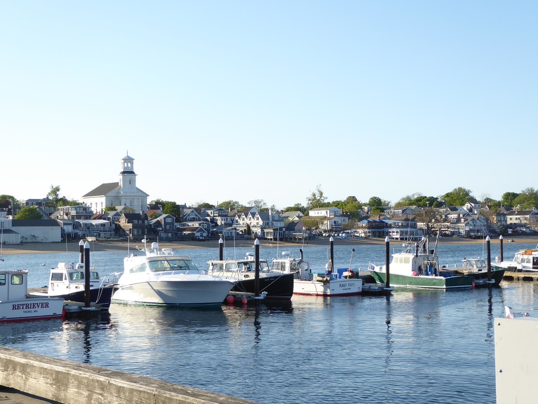
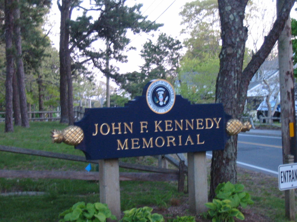
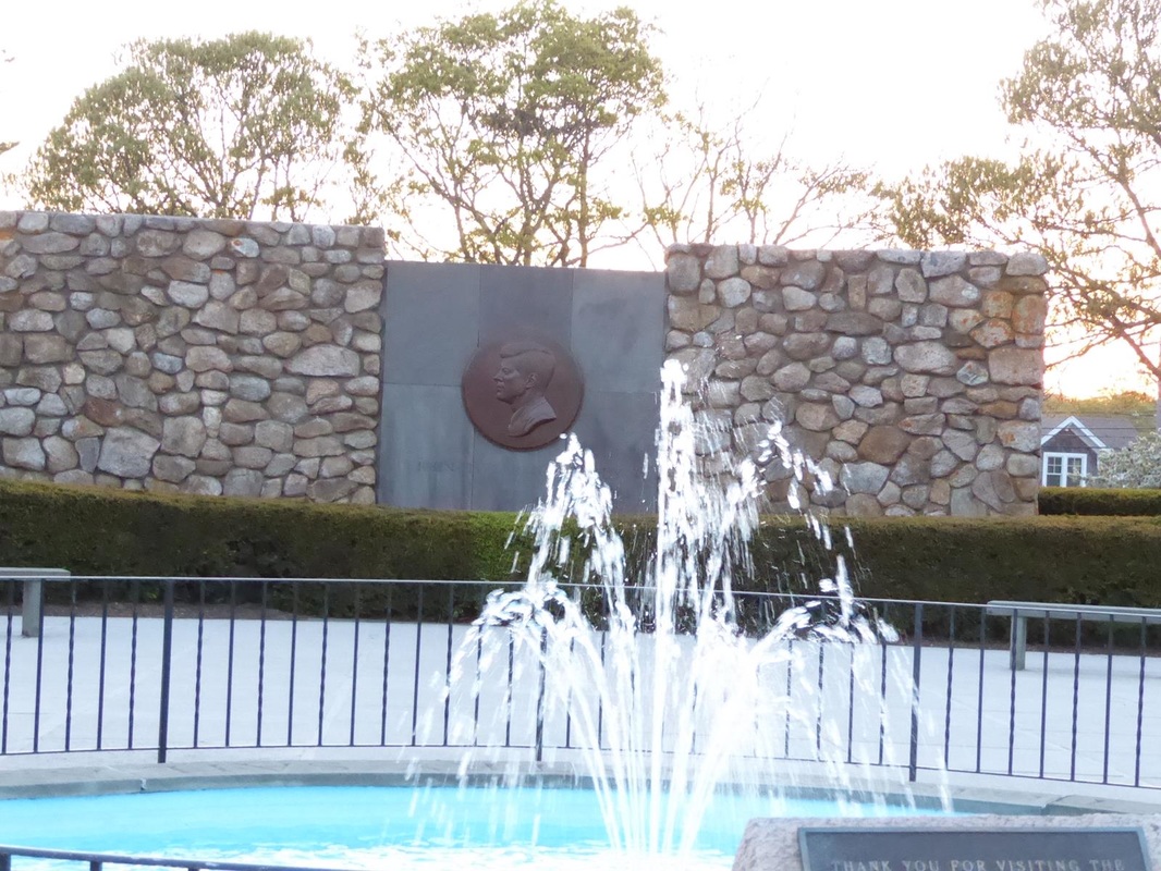
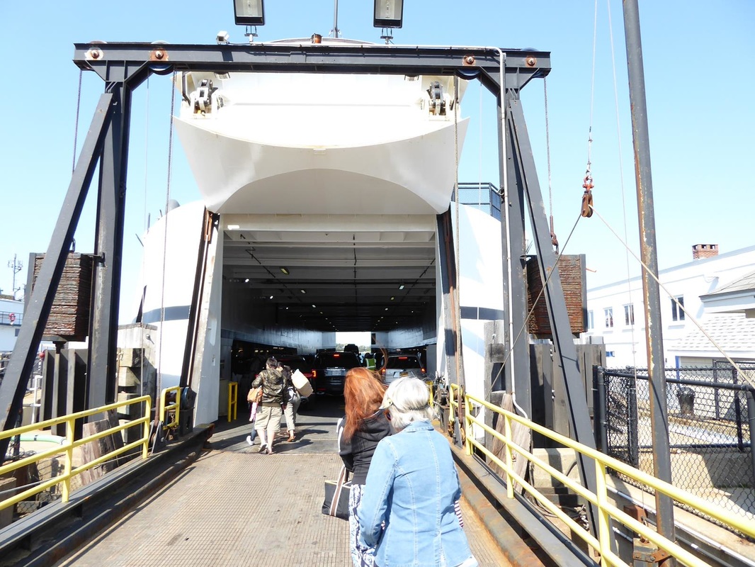
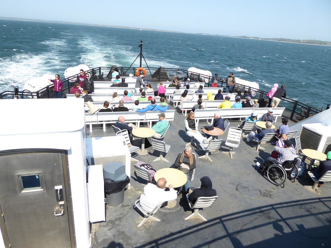
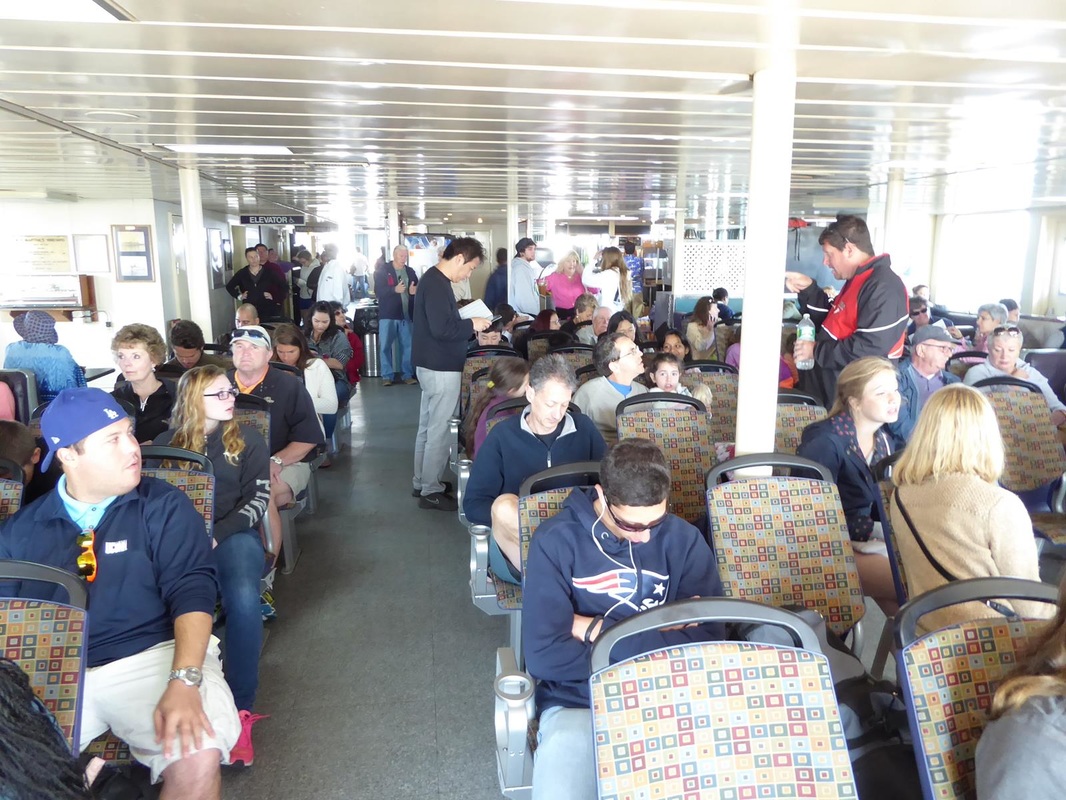
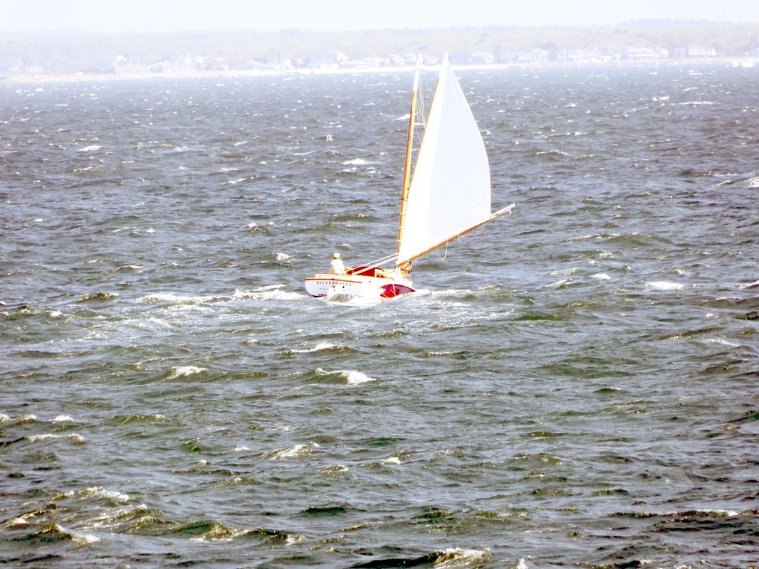
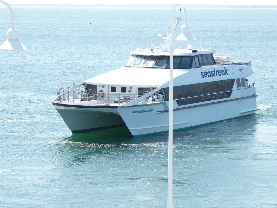
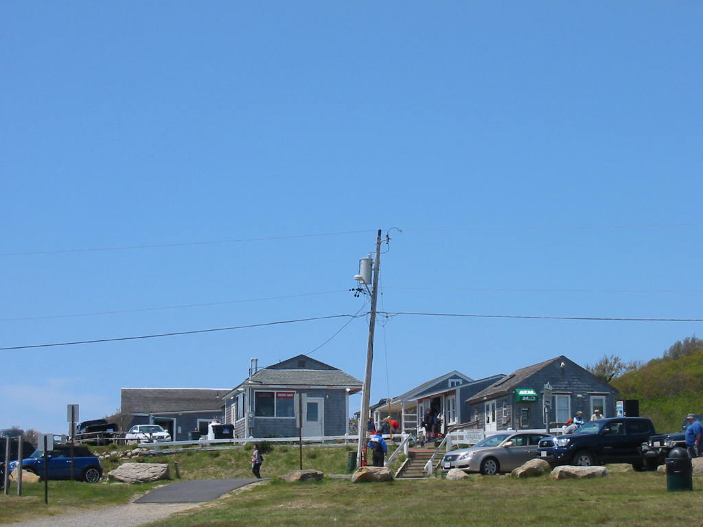
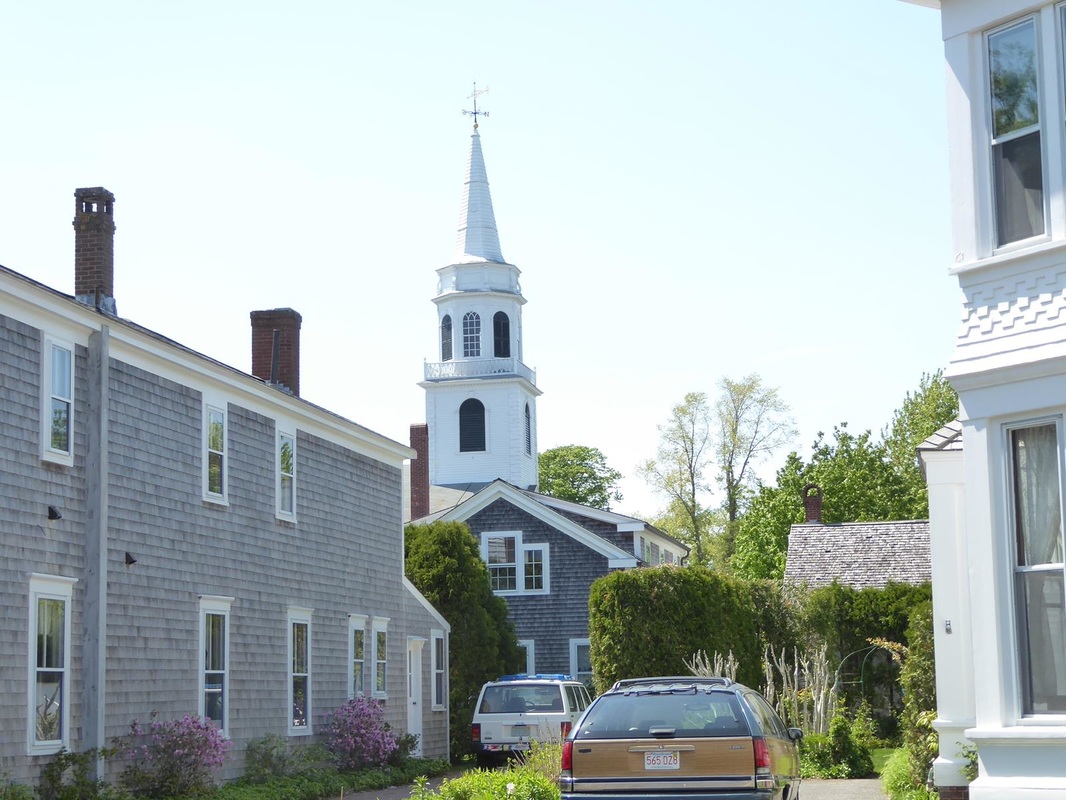
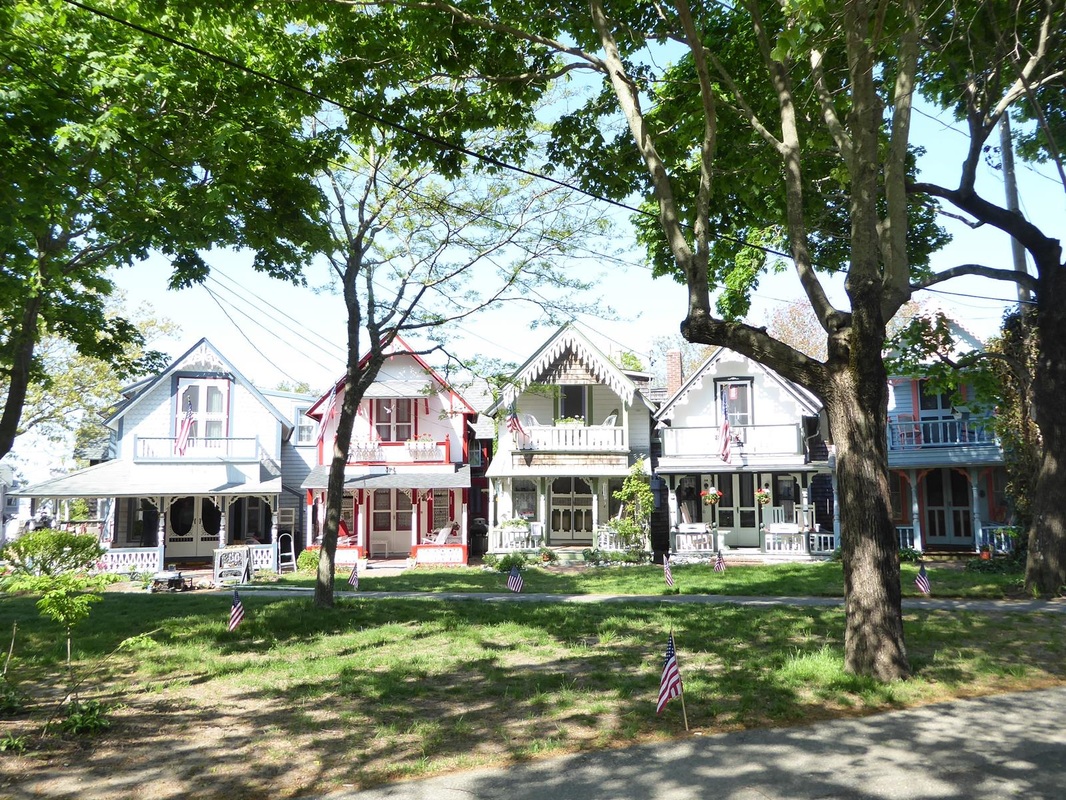
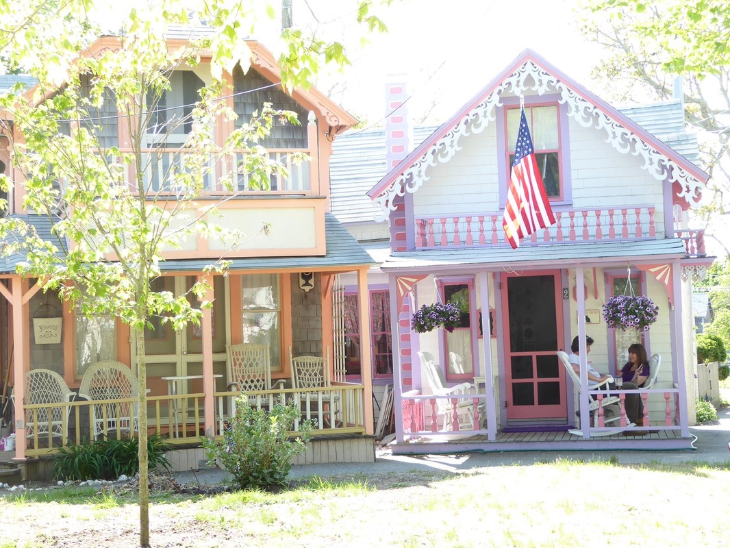
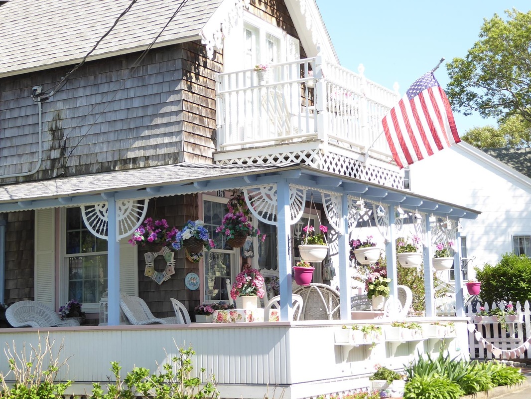
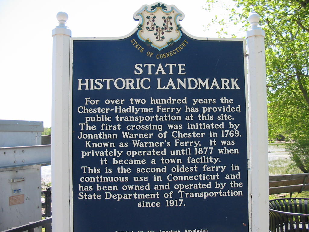
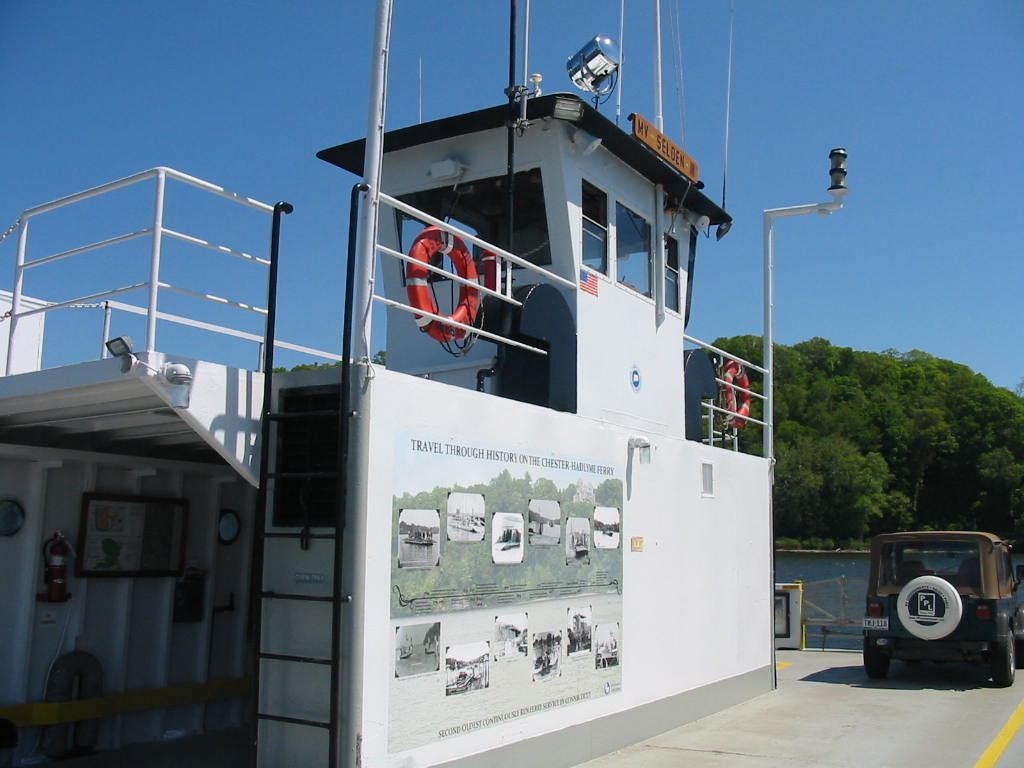
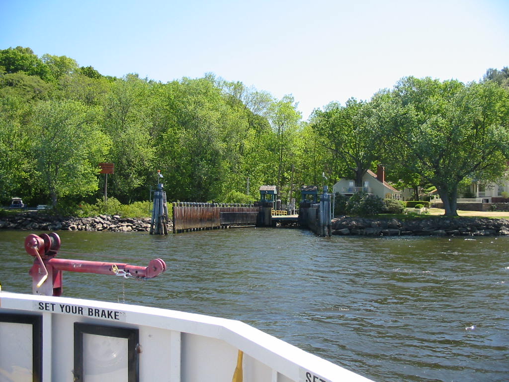
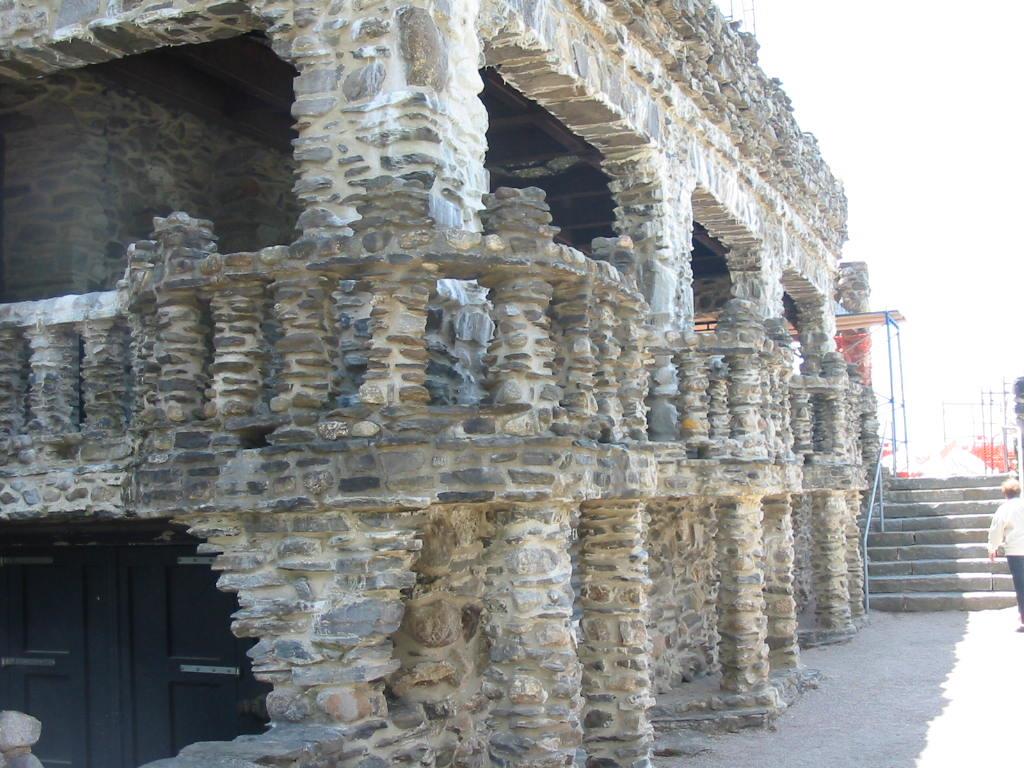
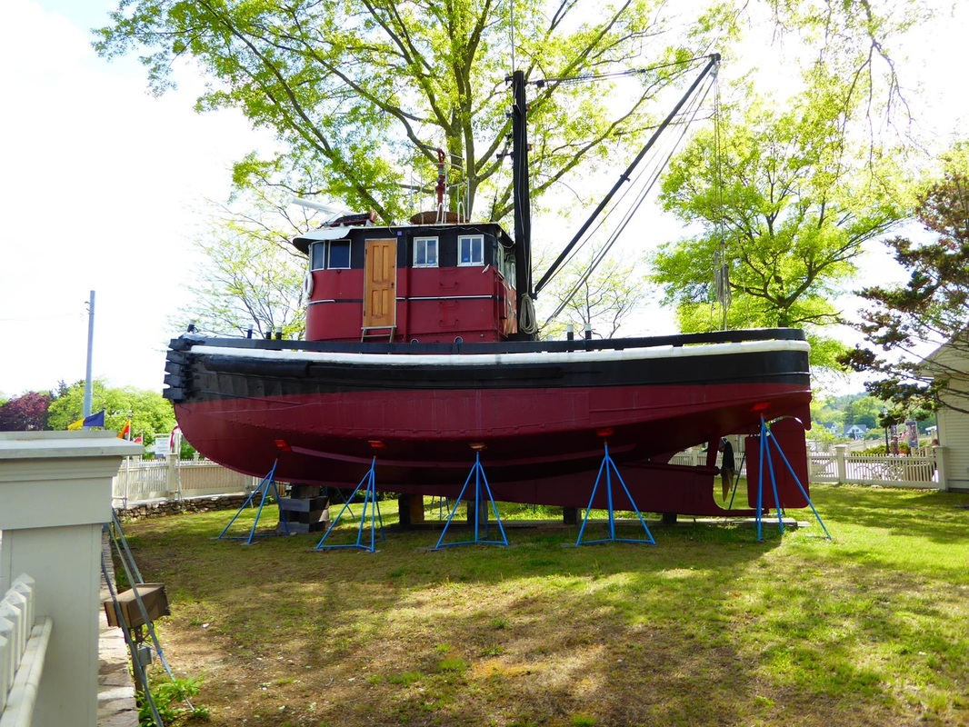
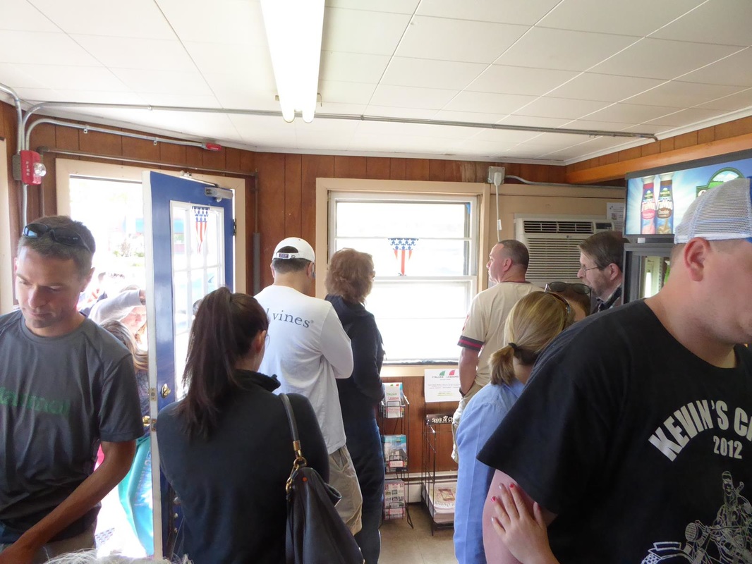
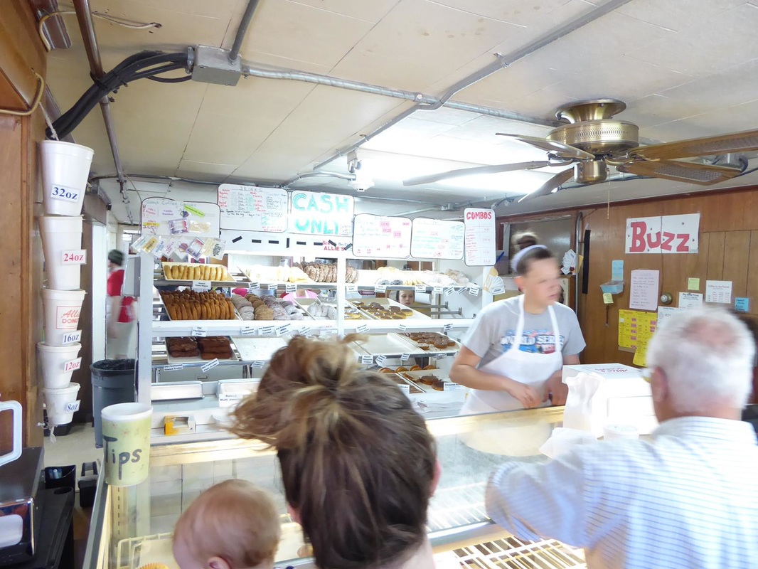
Stay tuned. If you're fond of sand dunes and salty air, quaint little villages, here and there..... 'Seasoned citizens' will recognize the lyrics to the song 'Old Cape Cod'. After checking into our campground, we left about 2 pm to explore the Cape. We drove along the coast road to pass through quaint little villages. Actually not what we expected but a New England feel anyway. Out on the tip of the Cape are the famous 'dunes'. Very desolate and peaceful. The building is an old life saving station. The Mayflower anchored off here and the pilgrims wrote the Mayflower Compact. (look it up) The town of Provincetown is out here on the tip of the cape as well. On this Memorial weekend Saturday, the place was jumping. I think there was a convention out here. It's about 50 miles from the tip to the bottom of the 'hook' and it was getting late. We wanted to see Hyannis Port while we were out, and it was getting dark when we got there. We didn't see the Kennedys but we felt like we were rubbing fenders (not literally) with the upper crust. There is a memorial to JFK. (As always, click to enlarge) We got 'home' after dark, and totally exhausted. Too much that day. But the next morning, refreshed, we drove the 30 miles to Woods Hole to catch the ferry to Martha's Vinyard. We chose not to take the Jeep, which was a good move, and walk on and use a day pass for the buses on the island. It's a 45 minute ride to the island. That's a snack bar in the 4th picture. Here are some of the other vessels we saw along the way. This place is full of 'quaint little villages' and other 'quaintness'. And full of people on this holiday weekend. It's a place for the rich and famous, but we forgot to ask where the Obamas stay when they come here. One tip of the island is called Gay Head and features a lighthouse and a little group of shops and a restaurant all run by a Native American tribe. Although there were many tourists there, it was isolated and peaceful. Other scenes from around the island. The ferry terminal is in the town of Oak Bluffs, and there is an area there called 'Gingerbread Houses'. These are centered around a temple which turned out to be Methodist, not Mormon as we thought. The houses were originally tents set up when the faithful came to camp meetings. Houses were eventually built to be used only in the summer as they are not insulated or heated. But they are cute, colorful, and indeed quaint! 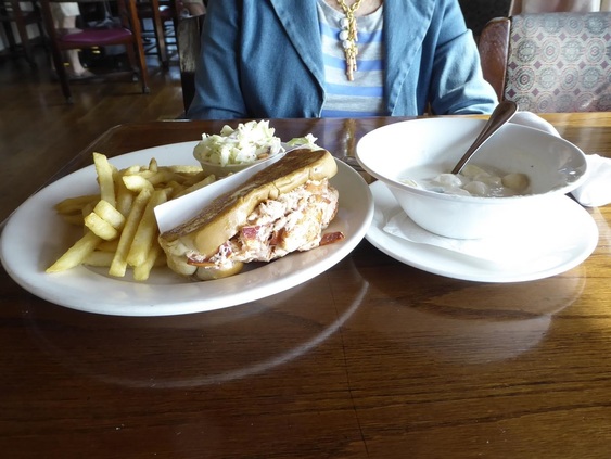 We had to try a popular restaurant for a lobster roll and New England clam chowder. And at the end of a long day, the ride back. 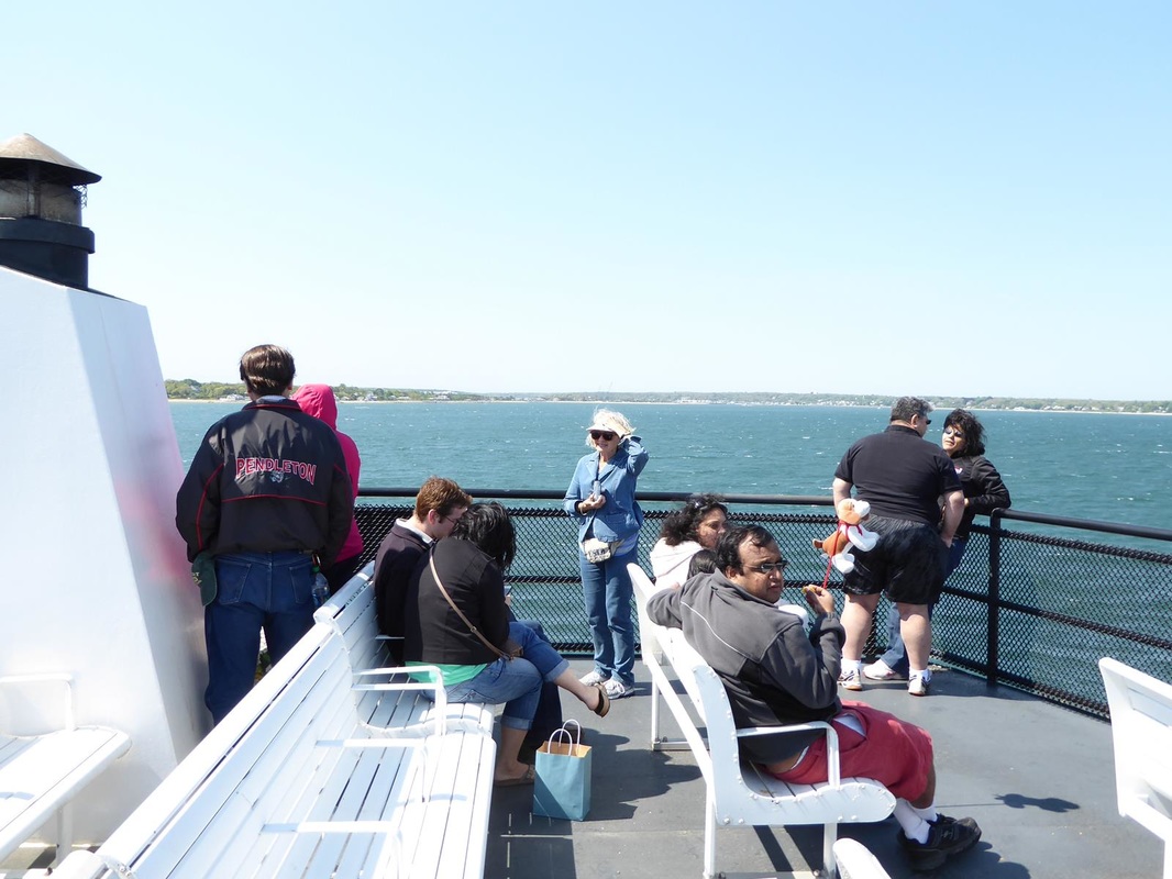 A very good day, and not too tiring since I didn't have to drive. All for now. Stay tuned. 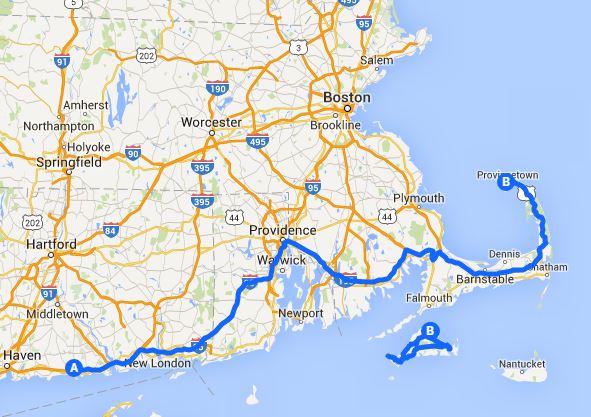 Before leaving our quiet and restful campground, we took a little side trip a few miles north to see the Gillette Castle. Getting there required a ferry ride across the Connecticut River (a modest toll). William Gillette was a writer, director, stage actor in the 1920's who wrote plays based on the stories of Author Conan Doyle about Sherlock Holmes and played Sherlock himself. He developed the persona of Holmes to the extent that any reference to Holmes internationally was a reference to Gillette. Following the death of his wife he suffered a period of depression, then, being very wealthy, he purchased hilltop land and built his quirky 'castle'. The castle is open to the public beginning the Saturday of Memorial Day weekend, but we were there on the Friday before. (Missed it by that much!! - Remember that?) Inside are more quirky things like a movable table on tracks and a system of hidden mirrors for surveillance. The entire outside is rock, even the eaves overhanging the windows. 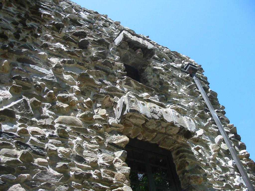 The grounds also feature much rockwork. And the view of the Connecticut River is breathtaking. Can you imagine the color of those trees in the fall?? Notice the ferry crossing. Back to camp to make preparations for getting underway (that's Navy talk). Back on the road, there are lots of little towns along the coast, all with their shopping and marinas and vacation homes, but Mystic Harbor is one of the more famous ones so we took a little detour away from the freeway for a brief visit. The main attraction is Mystic Seaport which is a collection of working exhibits including shipbuilding and rope making. (Sailing vessels need a lot of rope!). There is an entry fee to see them all, but they were quite spread out, and it was late in the day, and we were tired with a ways to go, so we didn't go in. but here are some pics of the area. Back on the road to a Walmart in Rhode Island. We figured we had better spend the night in Rhode Island or we might miss it altogether. The next morning we went out in the Jeep for some errands and to find a geocache in Rhode Island. One took us to an undiscovered gem (for us) called Allies Donuts. This place has been around for about 60 years and is the prime donut shop in Rhode Island. When we got there in the morning, the line outside had a few people in it. 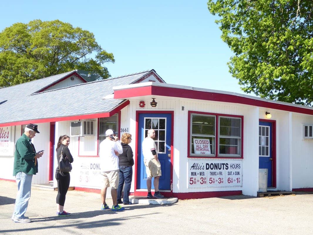 There were about 20 more people in line inside. When we left, there were about 15 people waiting outside. The donuts were pretty good.
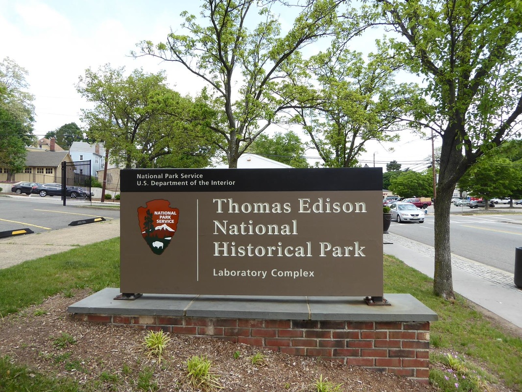
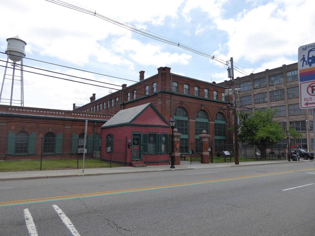
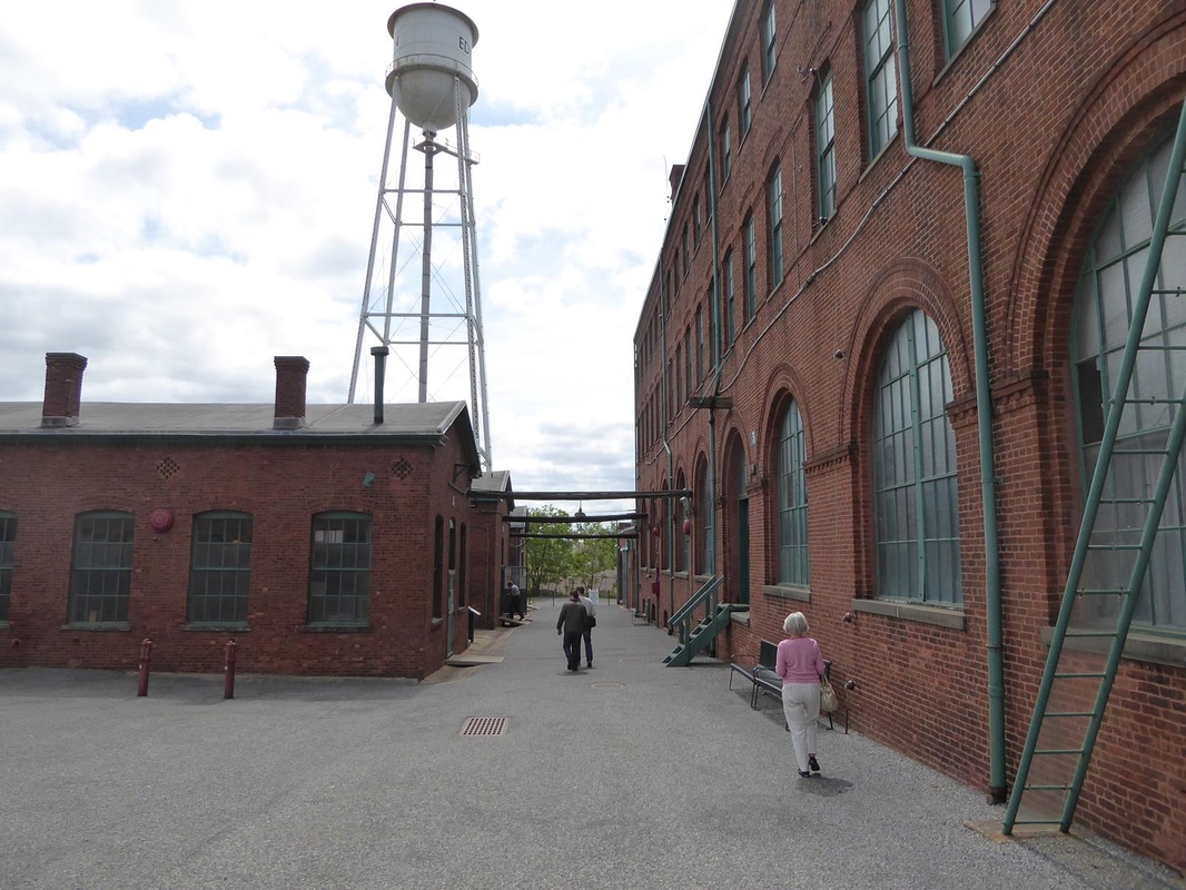
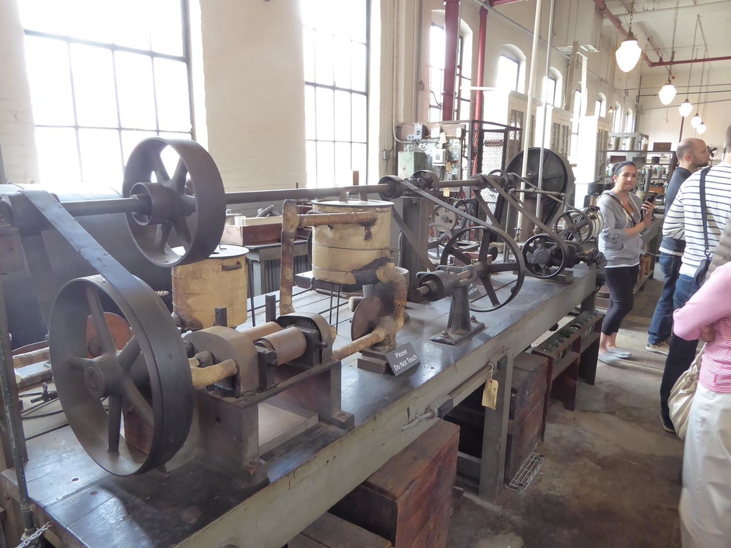
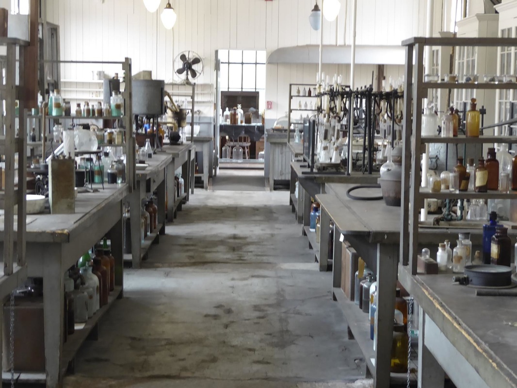
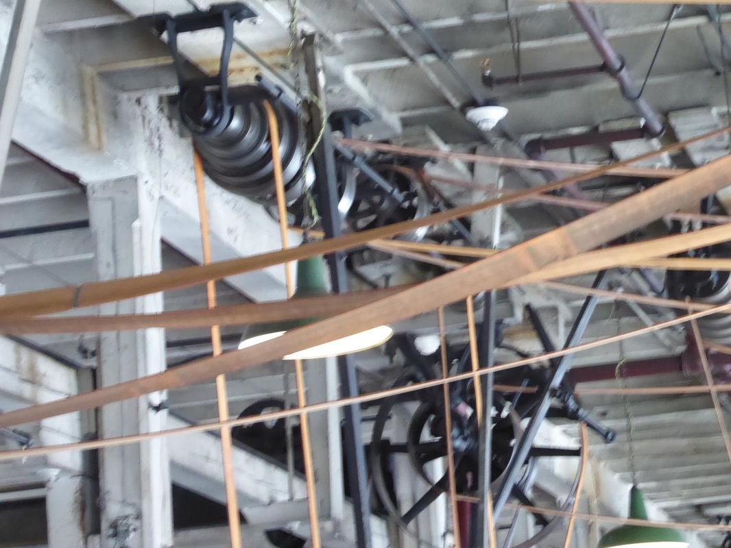
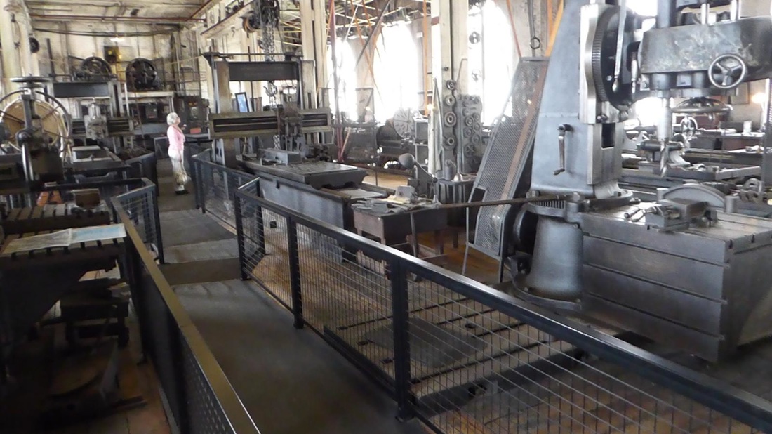
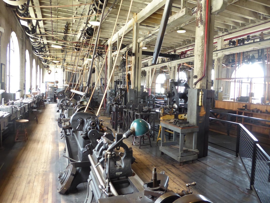
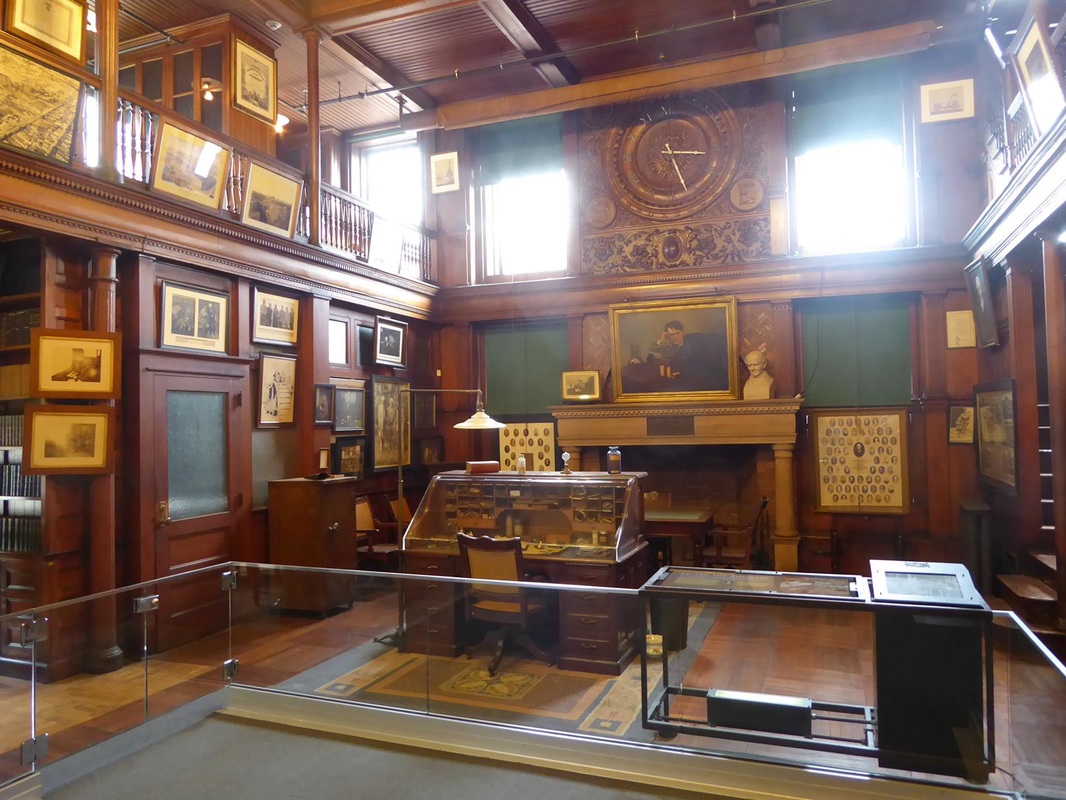
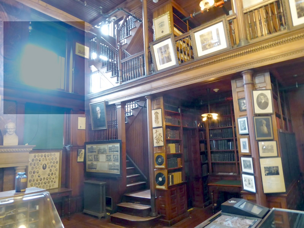
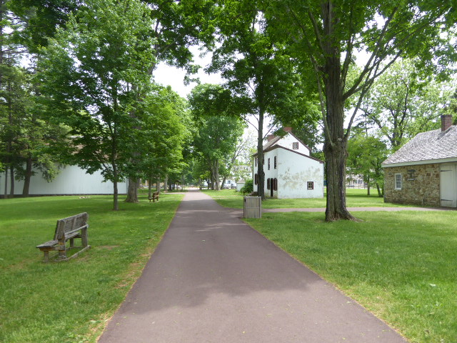
We actually found a campground where we could stay for Memorial weekend, so we weren't 'homeless'. Leaving Rhode Island, we headed east for Massachusetts. Stay tuned. Oh give me a home where the buffalo roam... Leaving Washington Crossing, we crossed the Delaware into New Jersey. Back into the thick of things, freeways, traffic and confusion. 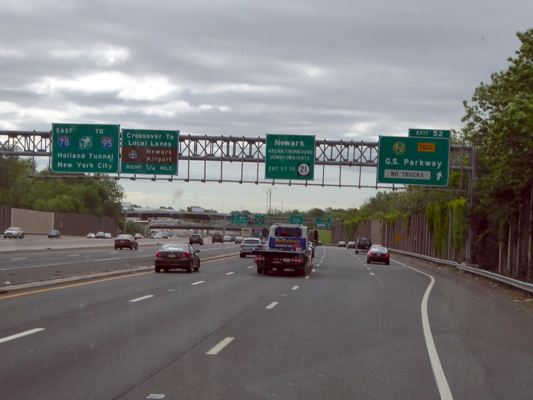 Our destination was Edison Historical Park in West Orange, New Jersey, a suburb of Newark. This was something my tour planner put on our map as an interesting place. Well, it was interesting, but at the end of the day we had second thoughts about going there. We found a Walmart for the night near there and planned our 'assault' for the next day. I located a Home Depot on the map near the objective and planned to park the RV there and go on in the jeep. Turns out, the Home Depot was in a very congested area with a small crowded parking lot. One street leading in, almost two lanes. The 18 wheelers had a hard time turning in. I did manage to parallel park on the edge and we proceeded to jeep on, glad we didn't bring the RV. Now most of us envision Edison in a little lab making light bulbs. In reality, he had this research facility consisting of the 3 story building plus others dedicated to chemistry,physics, and metallurgy. He had a staff of over 150 people working here experimenting and perfecting inventions, resulting in 1093 patents. His early work was done at Menlo Park, where he developed the light bulb, trying over 3000 filaments before finding the one that worked. He was a persistent perfectionist. Edison is also well know for perfecting the phonograph, some early experimental models are shown here. 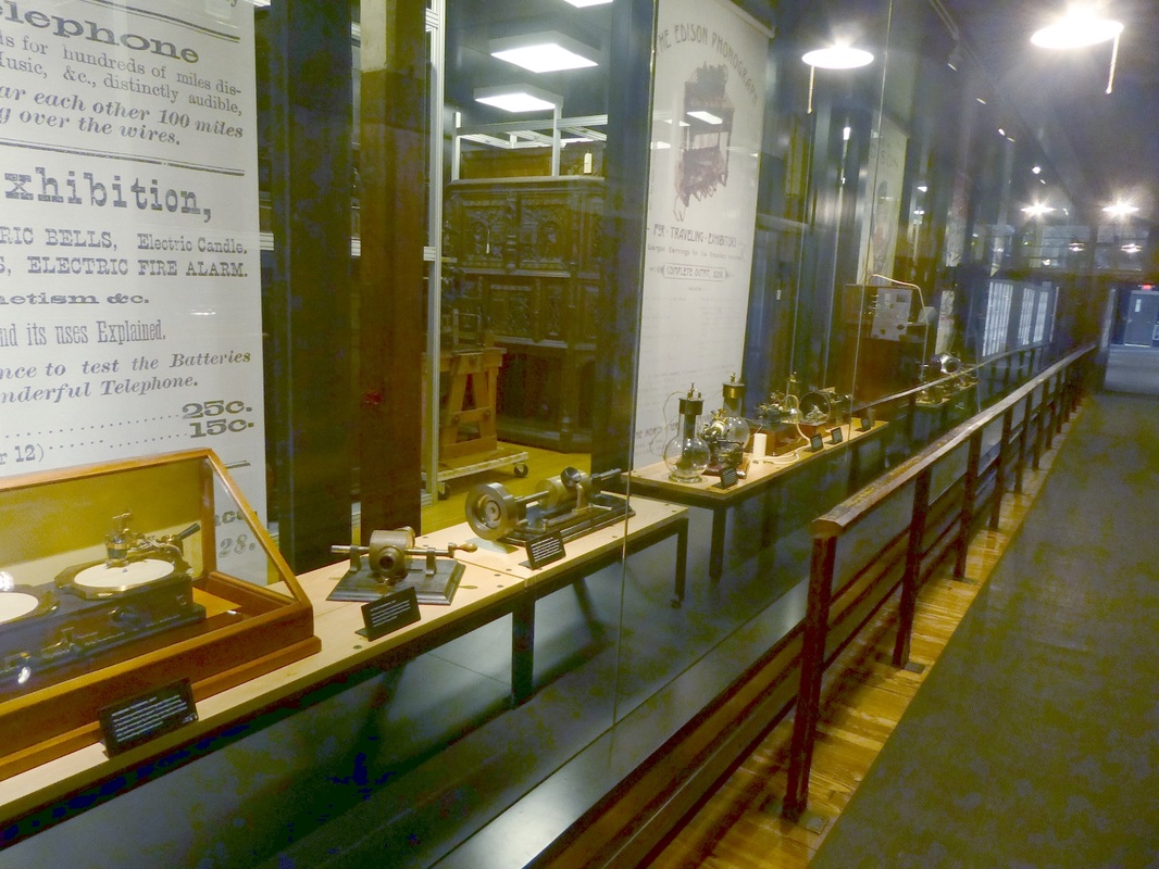 In these early models, the sound was recorded on wax drums. Commercial models are shown below, the one on the right having the speaker built into the box. There was no volume control, but the one on the left could be muted by putting something in the horn, hence the term, 'put a sock in it'!! 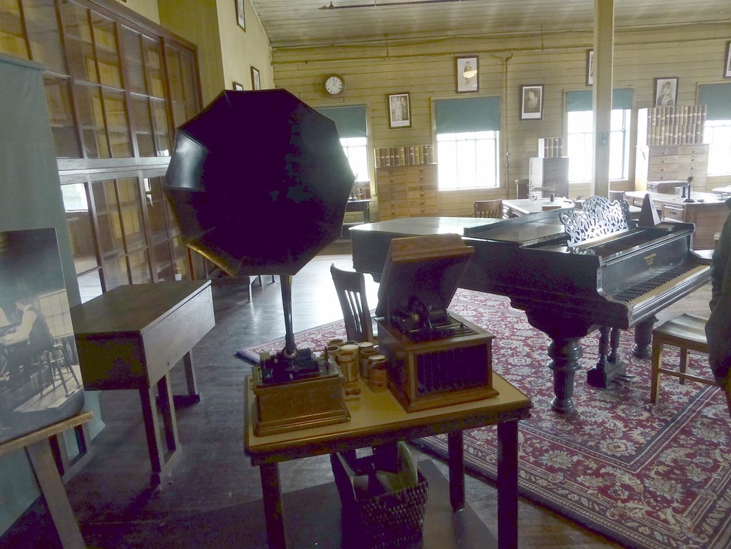 The room above was actually the first commercial recording studio where people would come to make recorded music for sale. 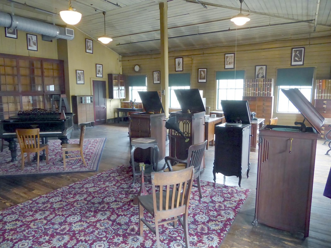 The chemistry lab is the building on the left. The first floor of the main building is the heavy machine shop. Note the drive belts to each machine, driven by pulleys on a common overhead shaft which in turn was turned by large electric motors. 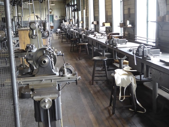 The second floor is a precision machine shop. There is a 3 story research library. (I dimmed out the bright window) Edison was an amazing man. He not only invented things, but built power stations to power his electric lights, had a company to make cement from waste rock using ore milling technology, developed the motion picture machine and a rechargeable battery for use in electric cars, and a line of electric appliances including a coffee maker, waffle irons, sandwich grills, and toasters. All this and more before his death in 1931. Lights dimmed for 1 minute nationwide on the day of his funeral. Now the fun begins. We made it back to the RV, hooked up and made out of the parking lot verry carefully. We had heard a couple of reports from RVer's who paid over $100 in tolls in New Jersey/New York, so we told our GPS lady to avoid them. She did quite well, taking us on minor highways through business and residential areas, places that most tourists do not get to see. We had to cross the Hudson River into New York somewhere and all crossings had tolls. A word about tolls. One bridge or tunnel we crossed charged $4 for cars, but for an RV pulling a Jeep, it was $12!!. Another tollway charged $6 getting on, but getting off had an unmanned toll both requiring coins only. The sign said $0.50 so we threw two quarters into the hopper, but a little electric sign up ahead said we owed $4.30. What do you think we did?? So we approached the George Washington bridge. $14 for cars, $14 and up for trucks. 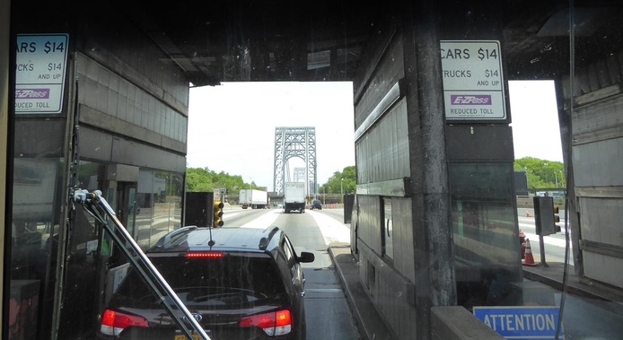 OK so the toll for a car is $14, but the toll for an RV pulling a Jeep is --- SEVENTY-SIX dollars ($76). Cash only. 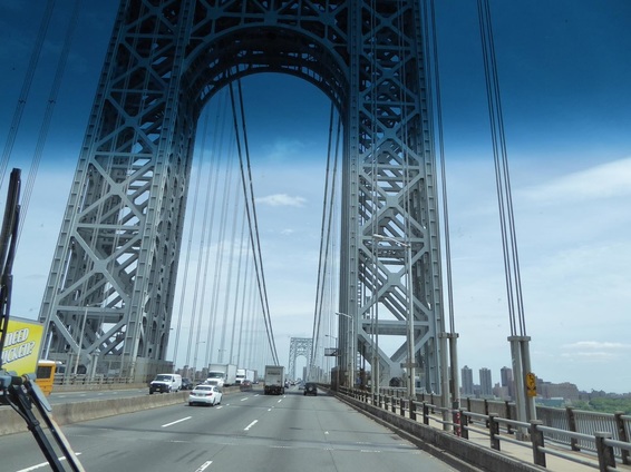 Here's a portion of the bridge we bought. It's a very nice bridge. Now we endure the traffic, congestion, and confusion of crossing this part of New York state, and crossing into Connecticut was like a breath of fresh air. Good roads and no tolls. The Welcome Center was something else. Remember we talked about the various welcome centers of the various states? Well this one was a fueling station for cars and trucks, plus a food court with popular restaurants, even a drive through. 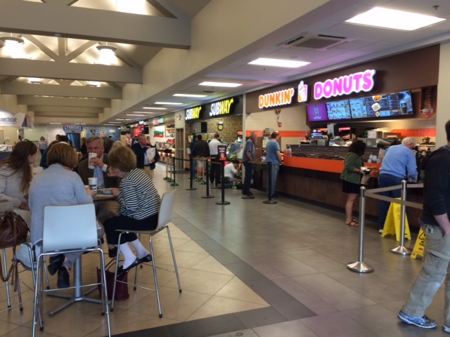 We arrived at this very nice campground in the woods totally exhausted, ready for happy hour, but we just collapsed on the bed instead.  This place has good wifi and we need to blog and do other computer work, so we will stay here two nights to recharge, regroup, and figure out where we will go next. 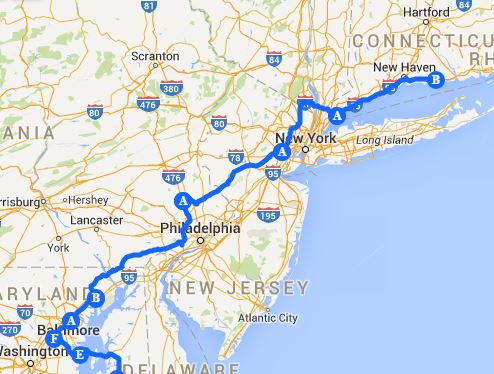 Here's where we've been. The rest of the story: In regards to Washington's crossing, he surprised the Hessians and defeated them, taking 900 prisoners, but more importantly, captured their supplies of food, weapons, and shoes.
It's been in the 60's here, with frost warnings for tomorrow night. Oops, I just realized we are coming up on Memorial Day weekend when campgrounds are usually full. There are a lot of them around here so maybe we can get a place. Otherwise we'll be wondering around in the wilderness. Stay tuned. Oh give me a home where the buffalo roam... Our next destination was the place where George Washington crossed the Delaware River on the night of December 25–26, 1776, during the American Revolutionary War. That action was the first move in a surprise attack against the Hessian forces at Trenton, New Jersey. The journey to the site was rather quaint. Once here the area was quiet and peaceful. These buildings were not here in 1776. We had an excellent guide who is here showing the plan of battle. Washington's army crossed here and marched nine miles to Trenton in very wintry conditions. (Did you know that some of the soldiers didn't even have shoes? That's real dedication.) 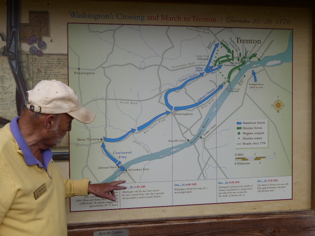 Washington chose this spot because there was a ferry here. A ferry was needed to transport wagons, cannons, and other items that could not be taken in boats, including General Washington. He did not cross as in the famous painting below. While it very nicely captures the spirit of the event, it is not factually accurate. The painting is by the German/American artist Emanuel Leutze. 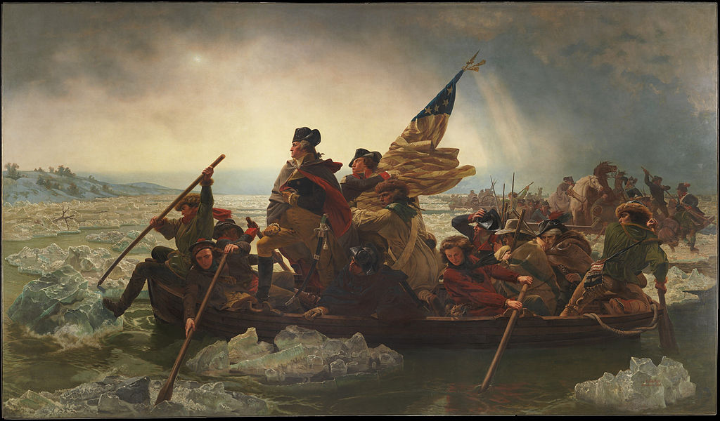 The only building here at the time was the 'inn' at the ferry landing. The blurred portion was added in the 1800's and was not part of the original building. 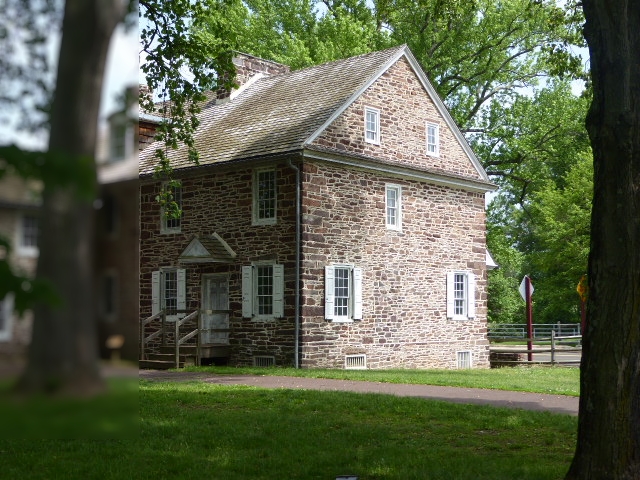 The ferry closed down at 5 pm each day and any one who didn't make the last one usually spent the night. There are four rooms upstairs, two small and two larger. The lower floor is the dining room, and 'tavern' room. Here are the upstairs rooms. George Washington made his headquarters here during this campaign, and wrote a letter to one of his commanders from the table here (well, maybe not this exact table...). Adjacent to the dining room is what I call the 'tavern' room, in that it had a recreation area at the end near the fireplace. There were board games and playing cards to pass the time. The pitcher and mugs on the table are made of leather, lined with pitch for waterproofing. The other end of this room was the bar. Since travelers could pay a reduced rate to sleep here on the floor (instead of outside in the cold) the bartender would lower the grill work to lock up whatever alcohol he served. Hence the term 'bar and grill'. (and you thought it meant something else!)   This picture has no historical significance except perhaps to show the other couple on our tour who were from England and were here to learn how they lost the war. 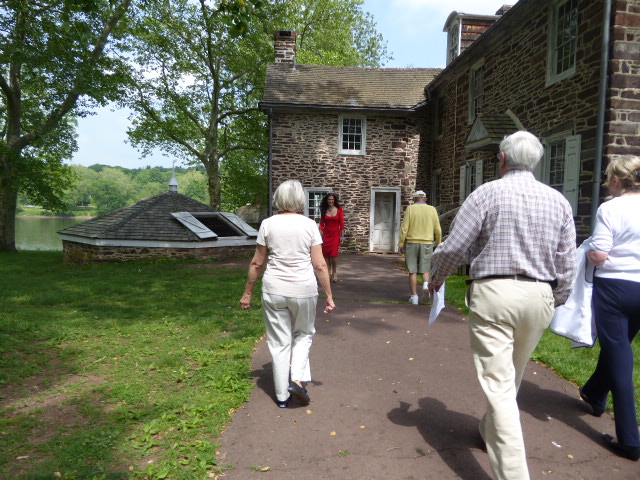 The low structure on the left is an 'ice house'. As an French invention became popular over here, everyone had to have their ice cream. Leaving this peaceful setting we drove on into New Jersey to spend the night and get ready for what turned out to be a very stressful day. Stay Tuned. 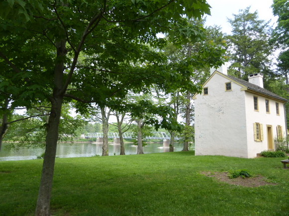 This is the Delaware River near the crossing.
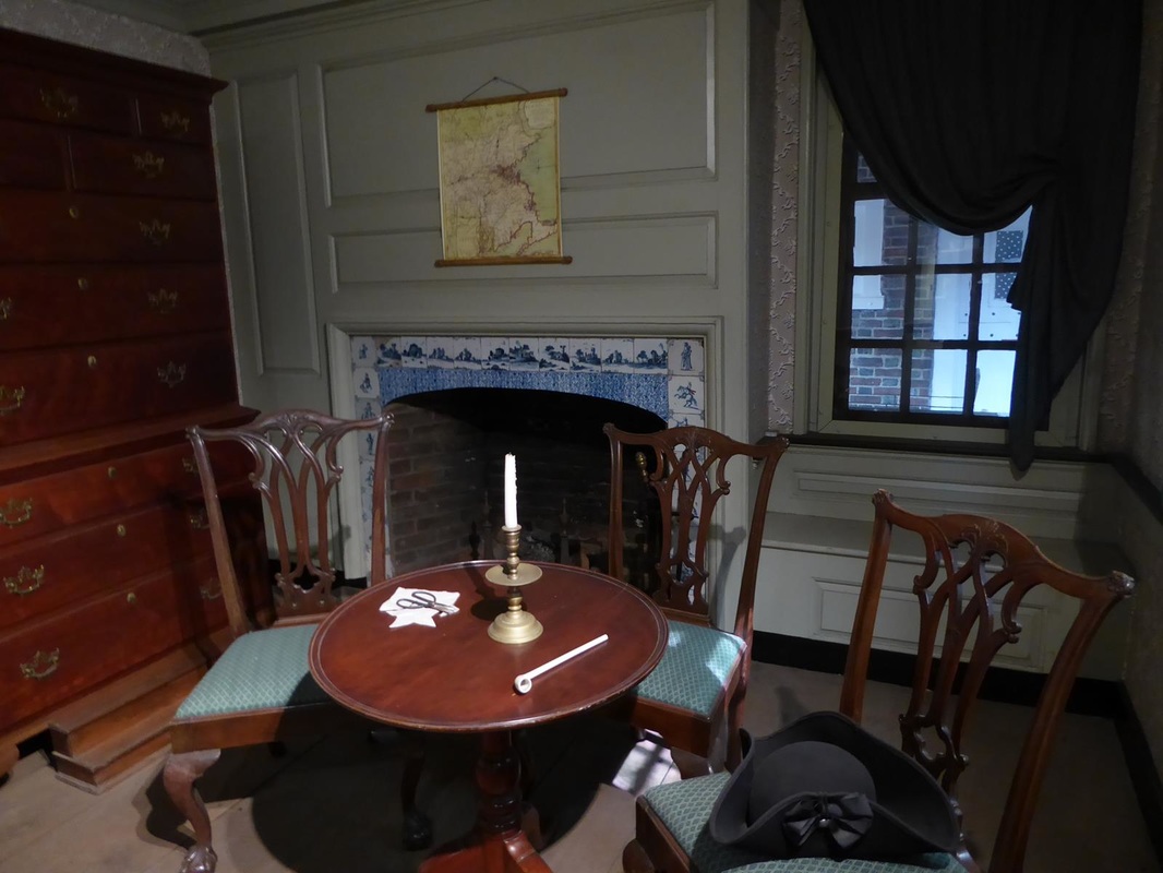
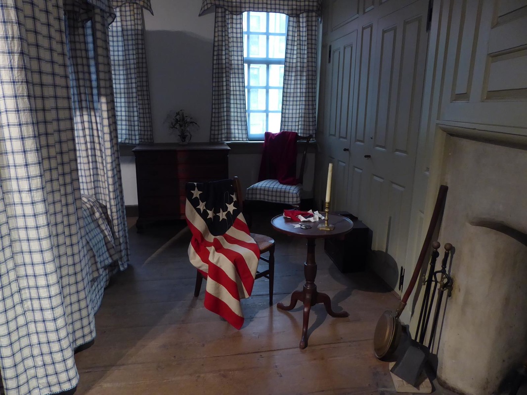
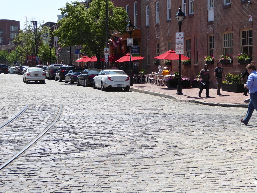
A few leftovers from Baltimore: 1. If Baltimore received any government stimulus money, they didn't spend it on street repair. Horrible!! 2. Calling ahead to the campground, the lady gave us some tips on visiting Ft. McHenry, etc., and she referred to herself as a 'Baltimoron'. Cute!! 3. In her kayaking around, Mary Lou made friends with this Canadian Goose. 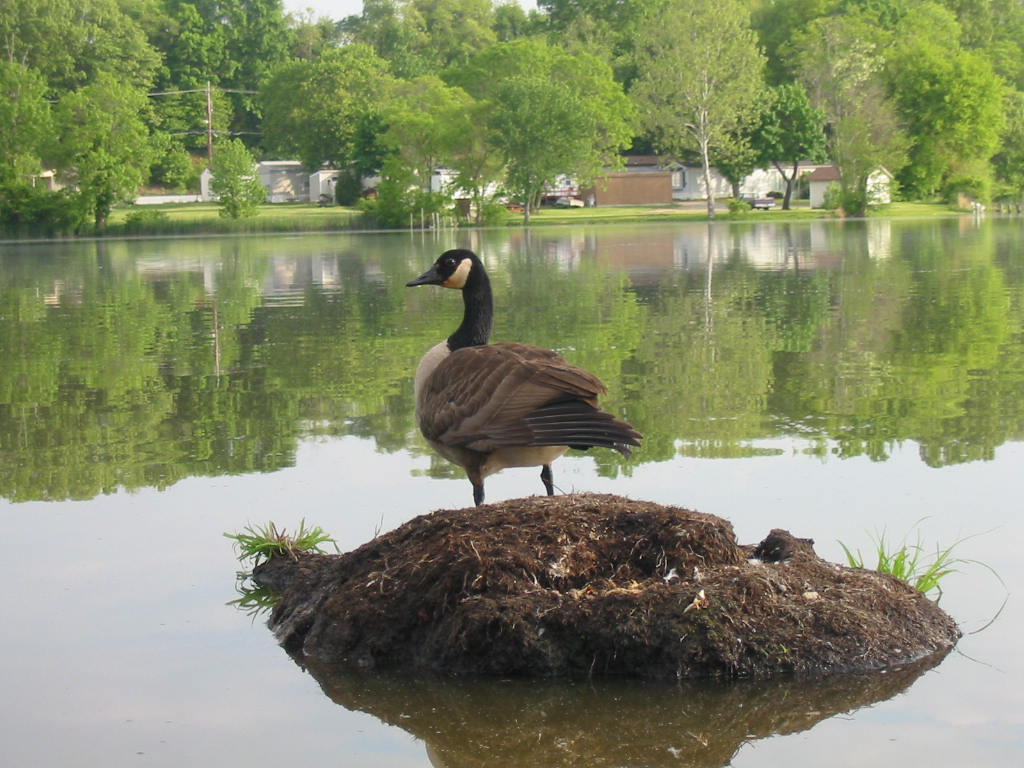 Making our way toward Pennsylvania, we dipped down into Delaware just so we could 'claim' the state. We are also on a quest to find a geocache in every state, so that was another reason to go. A convenient geocache was near a mall with a large, mostly empty parking lot. And since it was near the 4th quarter of the Rockets' final playoff game, we just stayed there to watch the victory. Go Rockets!  Campgrounds aren't plentiful around here, but we found a nice one in Hatfield, PA, from which to 'attack' Philadelphia. The campground people were very informative about how to get the train to go into town. Parking there is very expensive. So we drove the few miles to the Lansdale terminal, parked for $1, and bought senior tickets ($2 each, round trip) for the 40 minute ride to downtown Philadelphia. Trains typically don't go through the better parts of town. Below are the best I could get from the moving train of what I think are called 'row houses'. There were literally hundreds of them in various states of repair (like slum housing). Just amazing that people live there. 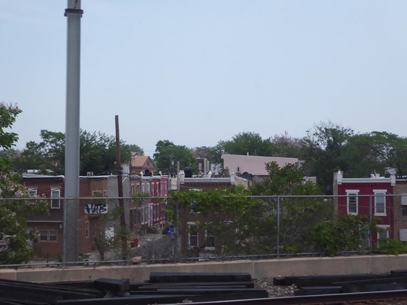 Notice the street between the buildings. 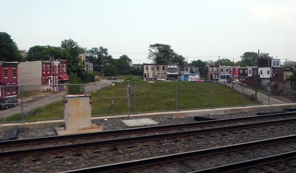 Unusual to see this much green space. 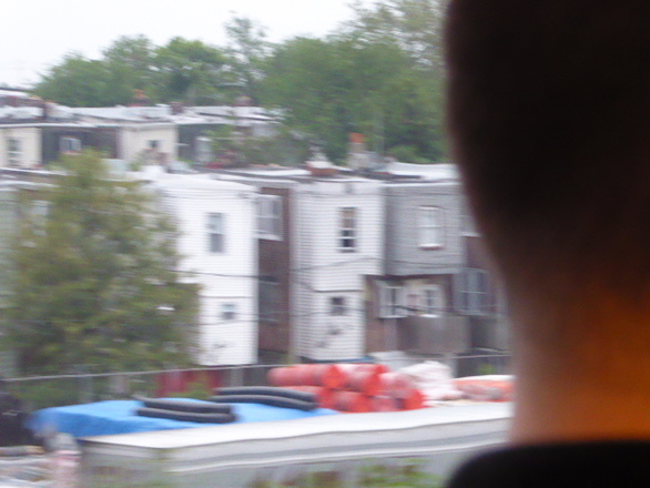 Backs of the row houses. Taken on the return trip from the 3rd seat from the window. We had to walk 4 blocks from the downtown station to Independence Square. Lots of people walking about, much like New York. 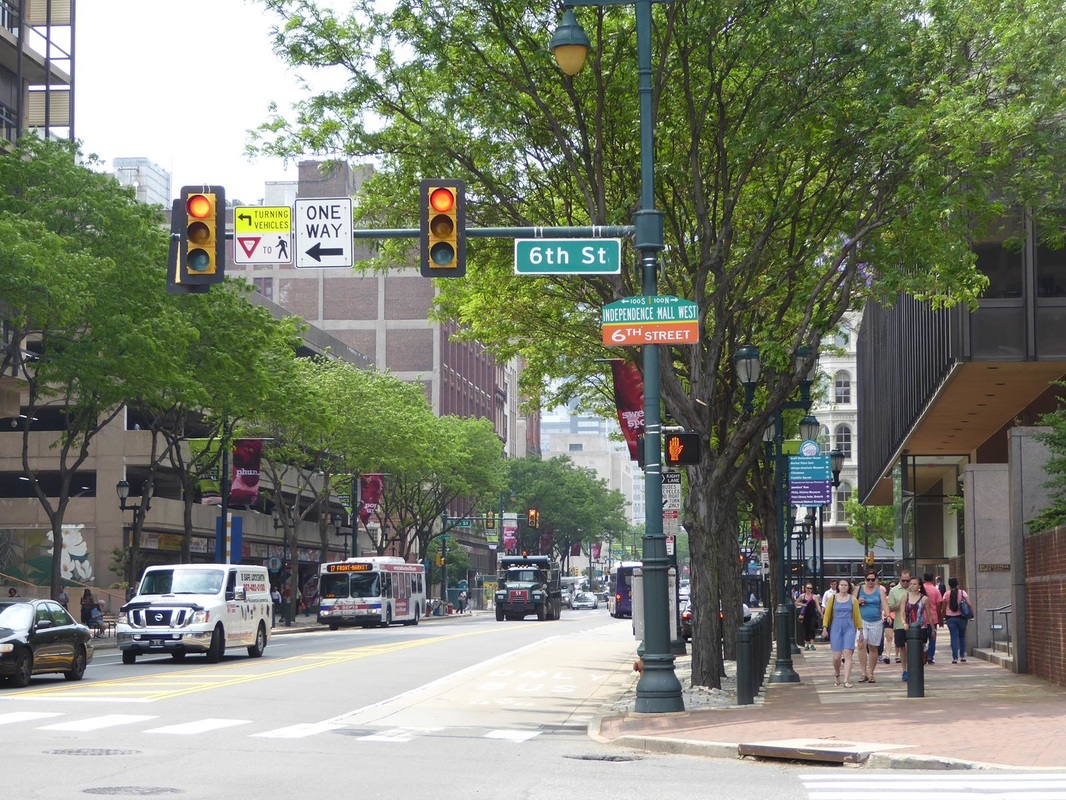 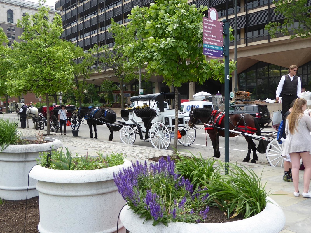 The attractions here are the Liberty Bell and Independence Hall and associated buildings. The Liberty Bell had it's own building, rather long with displays relating to the bell leading up to the bell itself. The bell was poorly positioned as it was placed in front of a window wall, making photos too backlit to capture the bell itself. The crack in the bell has been modified and reinforced to prevent further damage. The Pennsylvania Assembly ordered the Bell in 1751 to commemorate the 50-year anniversary of William Penn's 1701 Charter of Privileges, Pennsylvania's original Constitution. Sometime later it began to crack and the final expansion of the crack rendered the Bell unringable on Washington's Birthday in 1846. 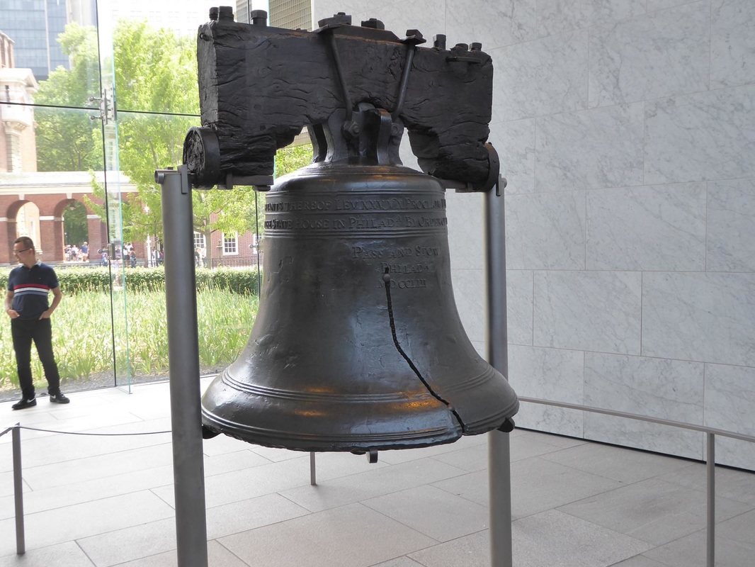 Independence Hall and the buildings around it were actually Pennsylvania state government buildings, but were used by the Continental Congress and the Federal government after independence. It was the nation's capital during George Washington's presidency, while Washington, DC, was being built. 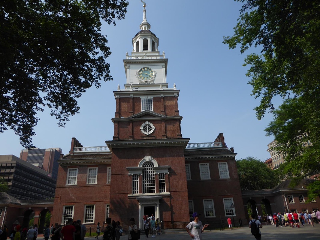 Here's the room where the Declaration of Independence and the US Constitution were debated and eventually signed. There are two-place tables for each of the 13 'states'. 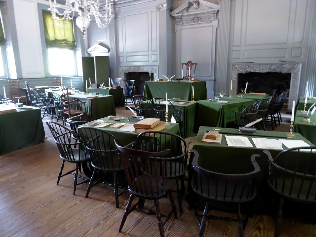 Here is the room where the inauguration of John Adams as the second president took place. It is said that there were many teary eyes as it was realized that this was the first time in the history of the world at that time, that a transfer of governmental leadership occurred without bloodshed or between two unrelated people. 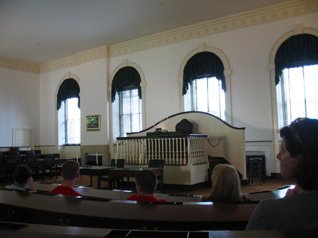 Mary Lou walked a few extra blocks to visit the Betsy Ross house. She was actually a furniture upholsterer, but became famous for designing and sewing our flag. 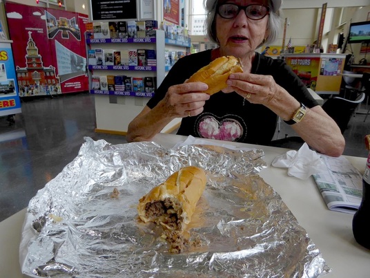 And what's a visit to Philly without a Philly Cheesesteak! 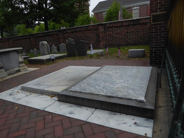 And the cemetery with Ben Franklin's grave. Our ride back on the train was packed with commuters going home. It's actually a pretty good way to make that trip, rather than driving. A very smooth relaxing ride.
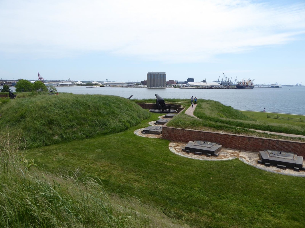
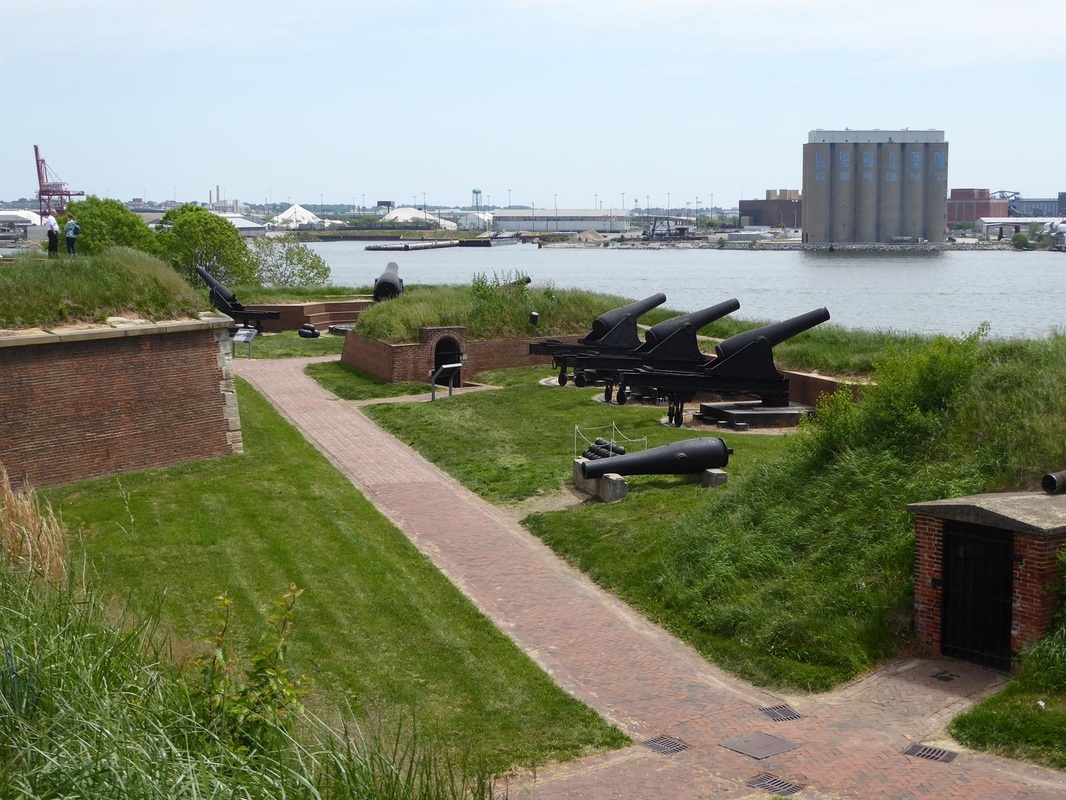
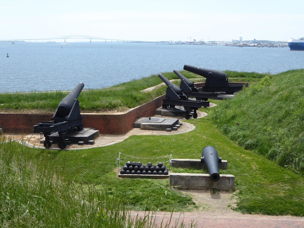
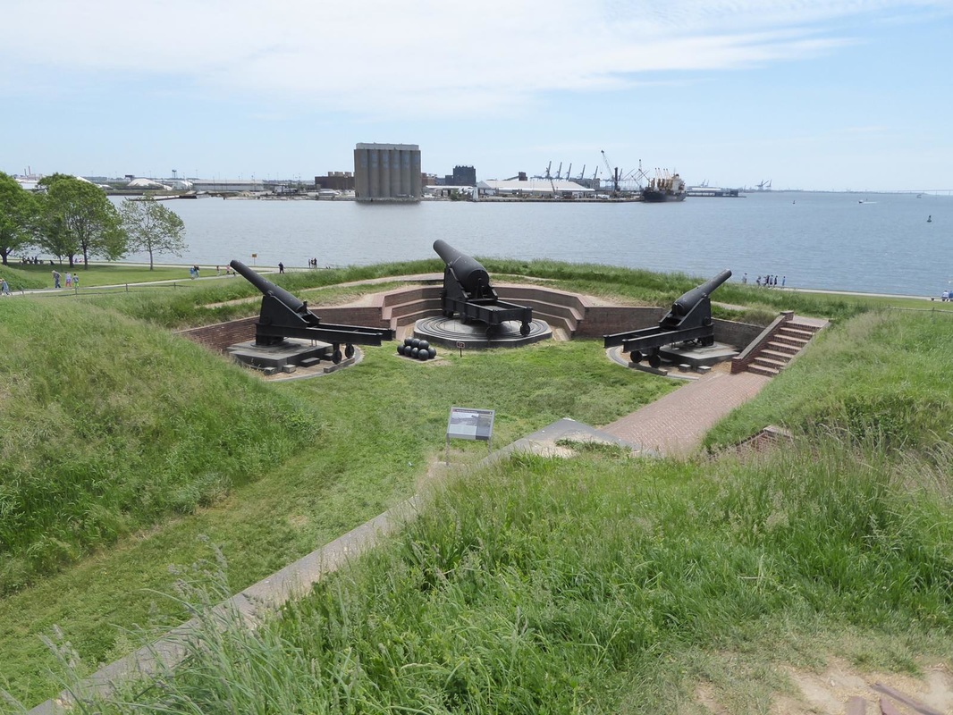
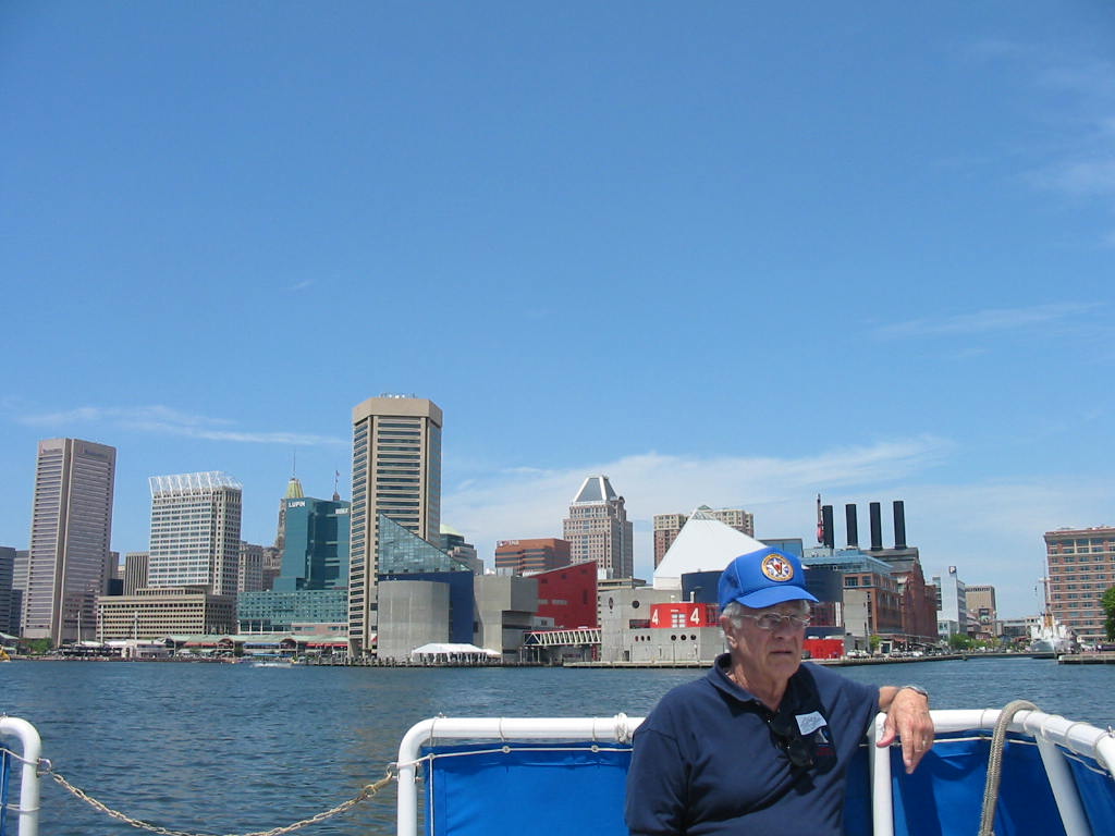
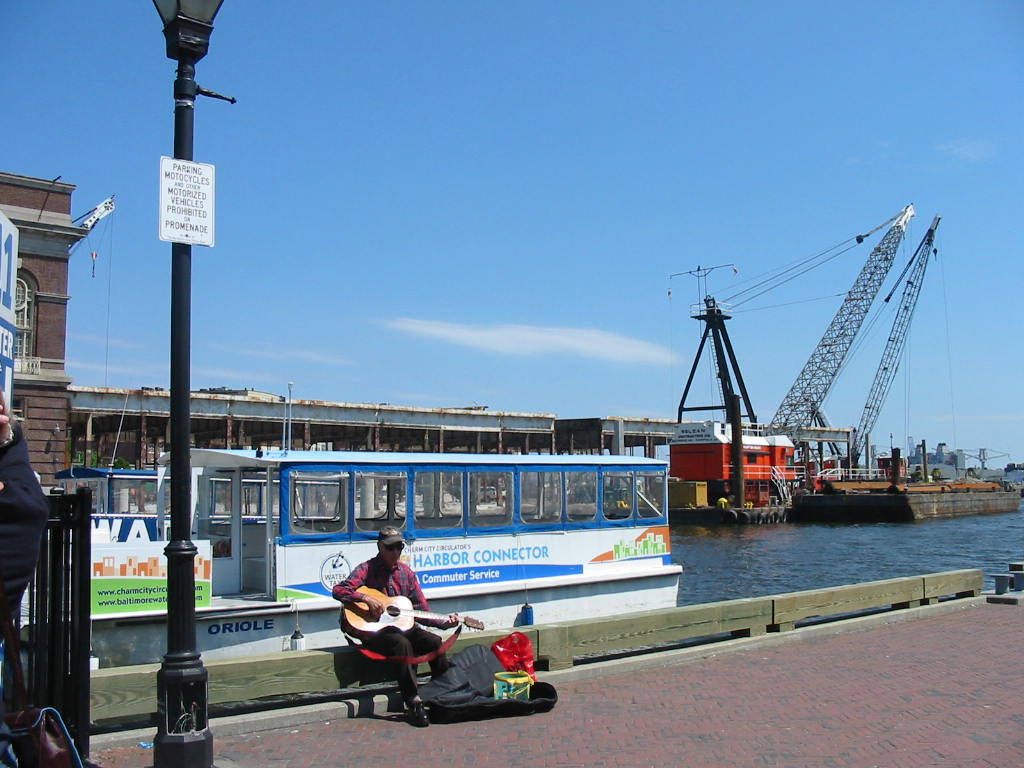
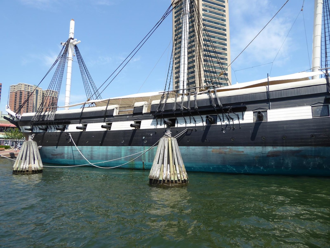
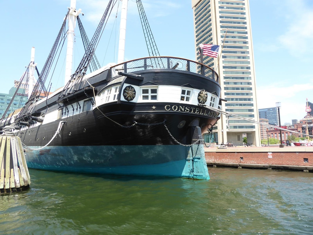
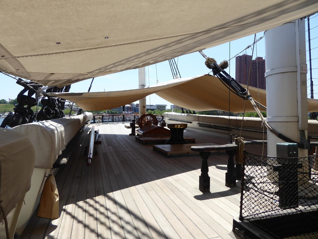
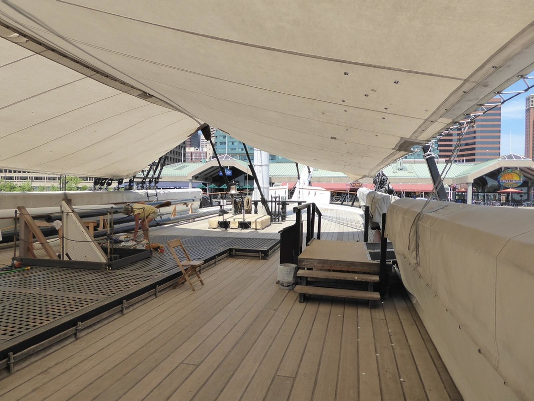
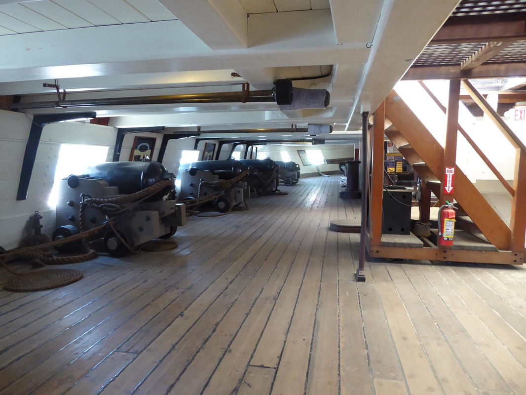
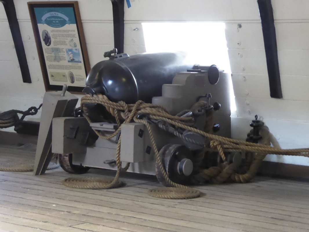
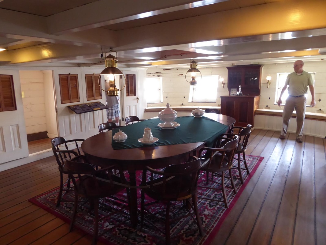
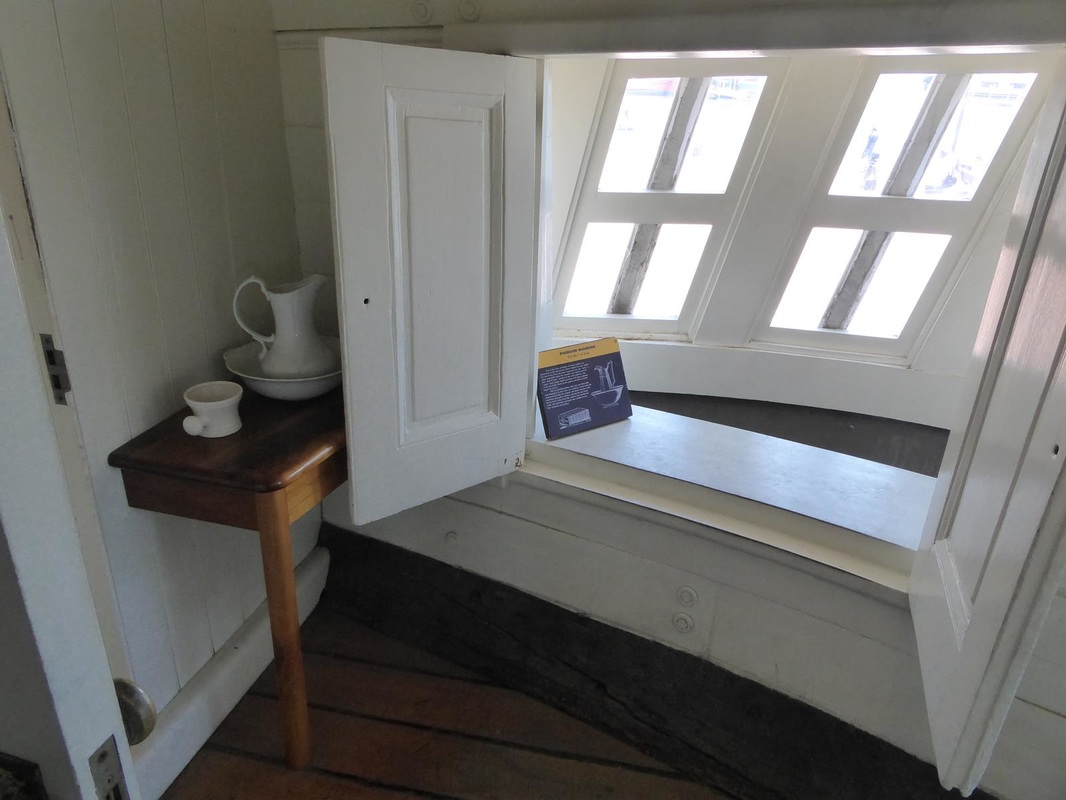
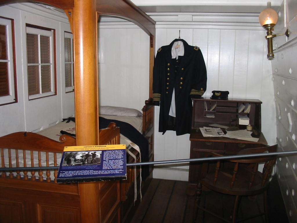
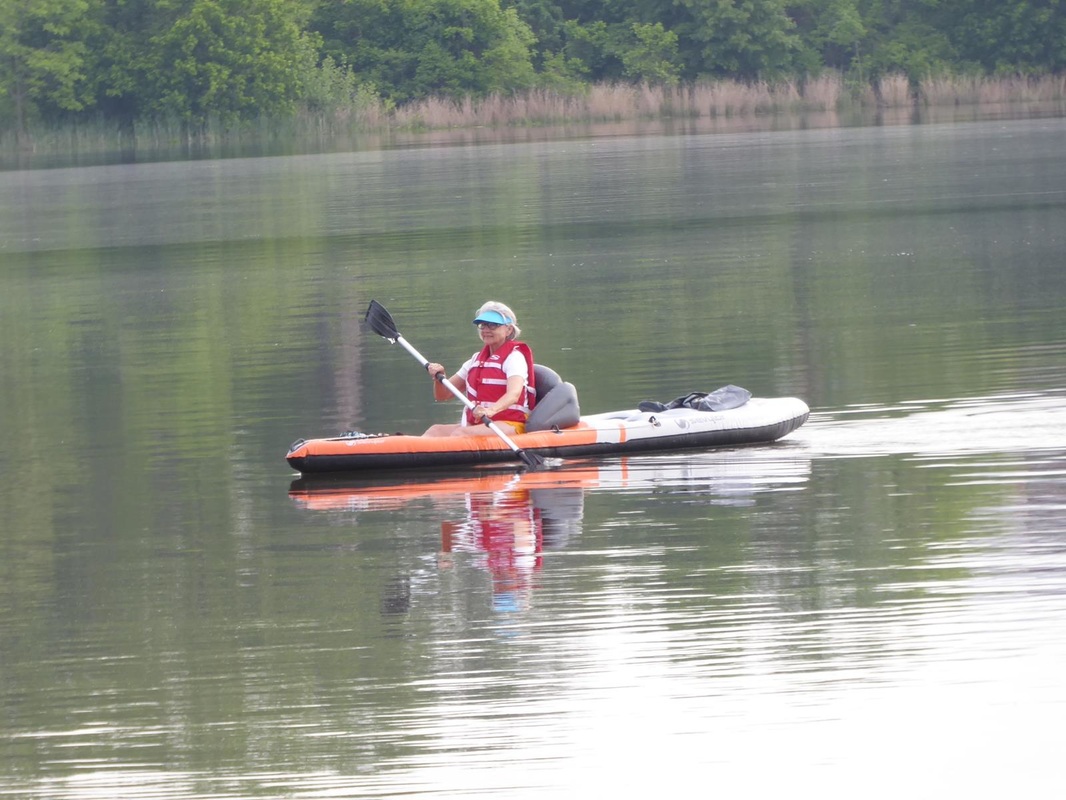
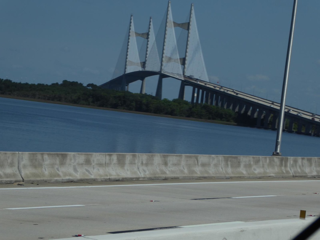
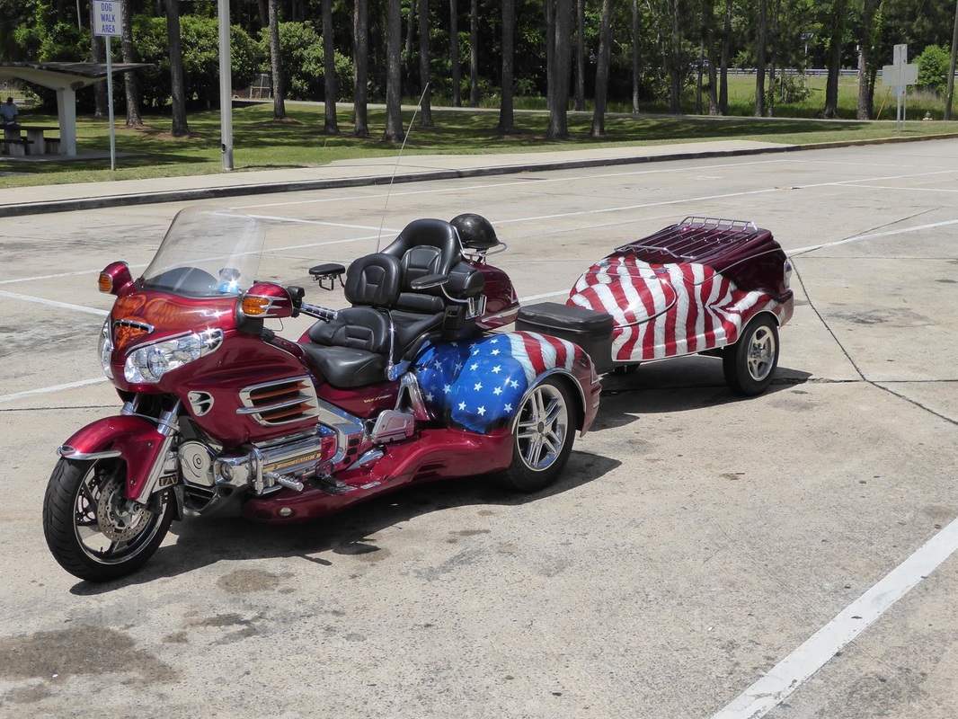
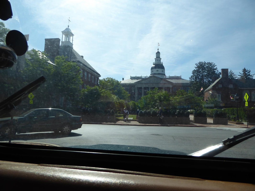
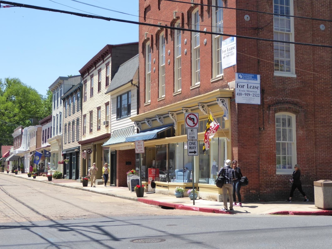
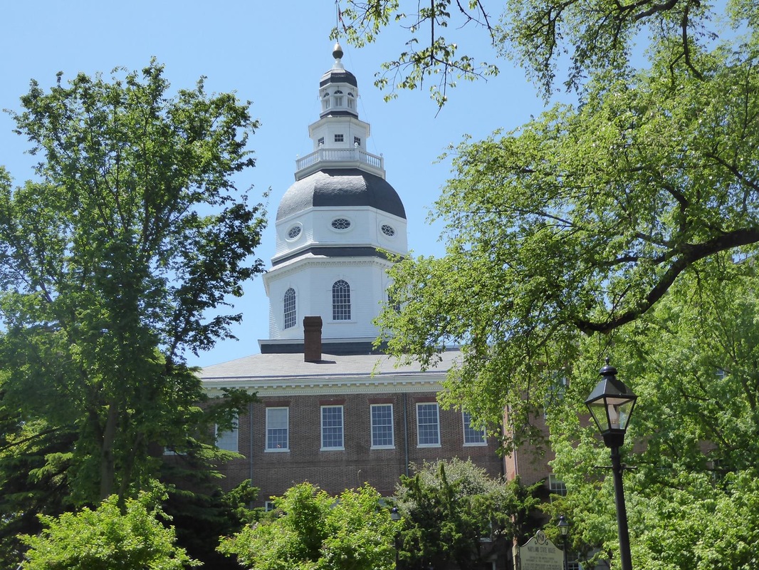
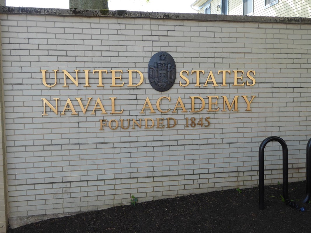
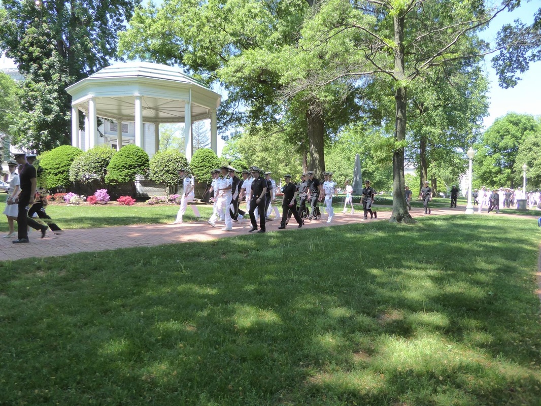
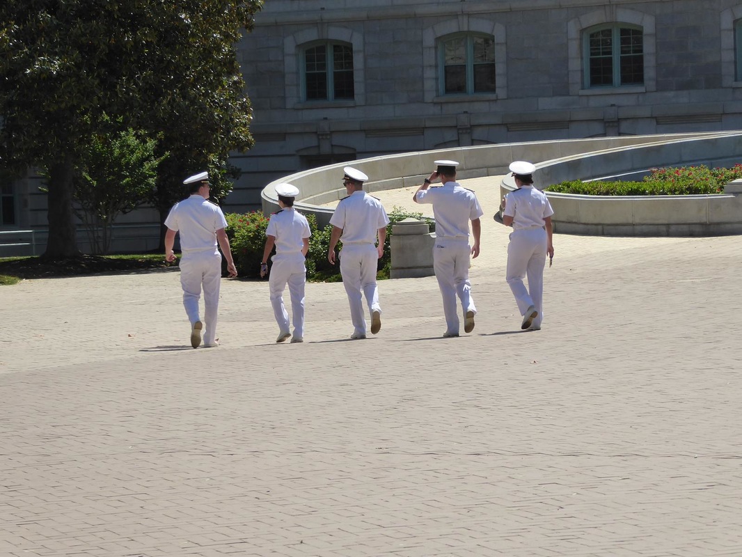
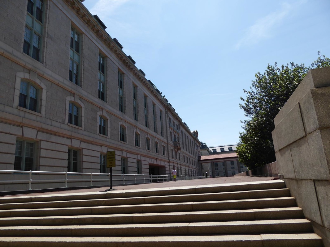
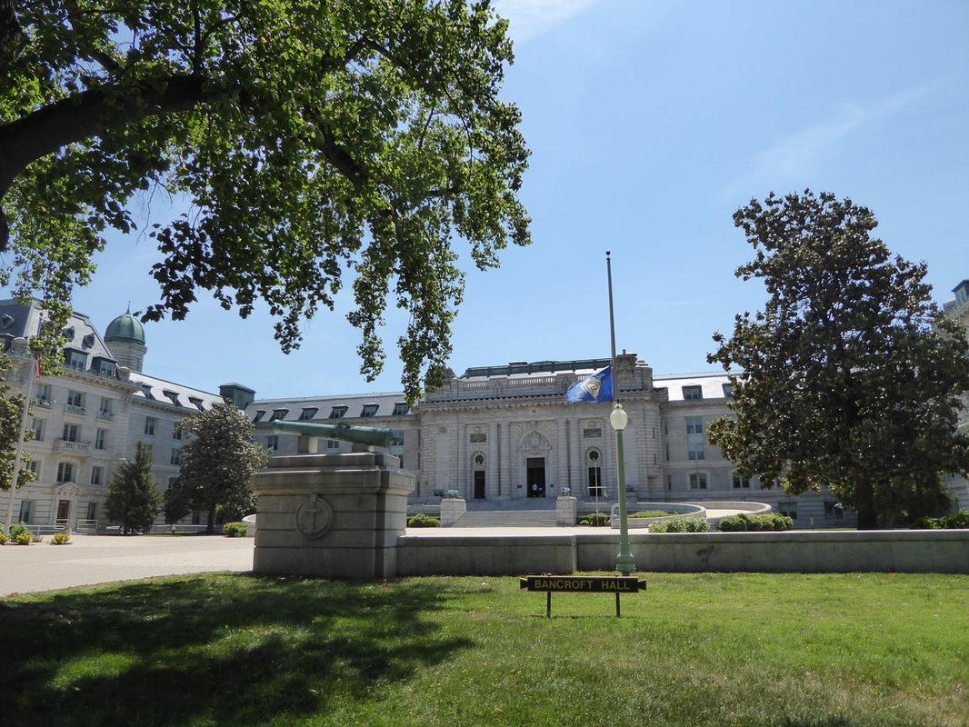
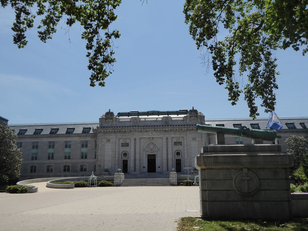
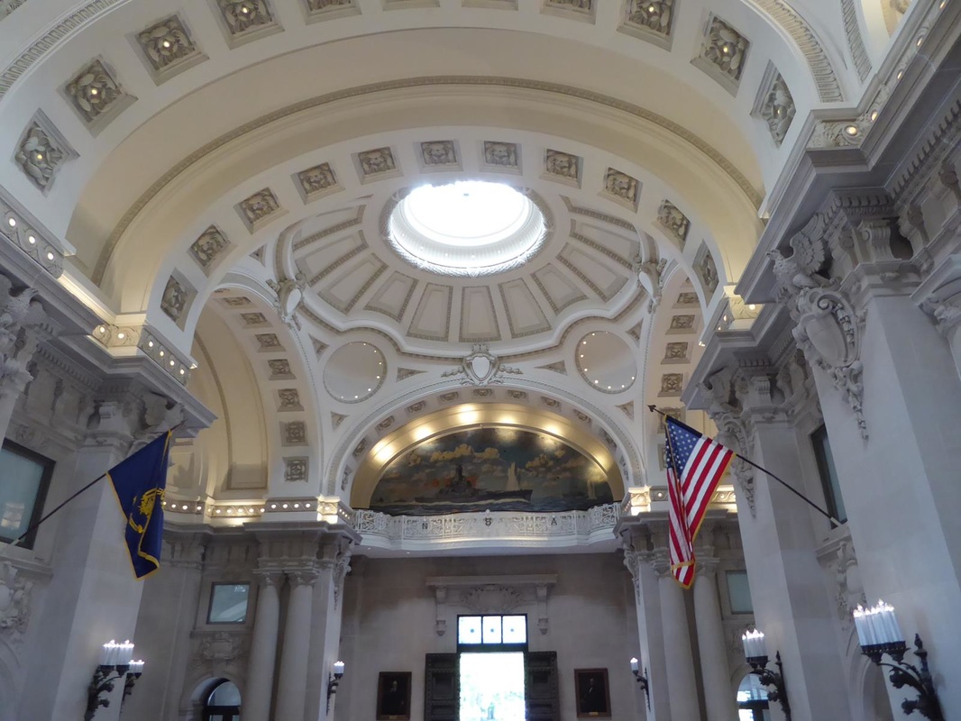
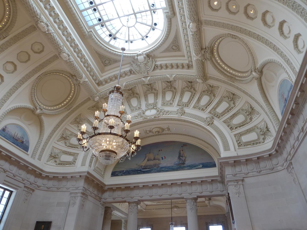
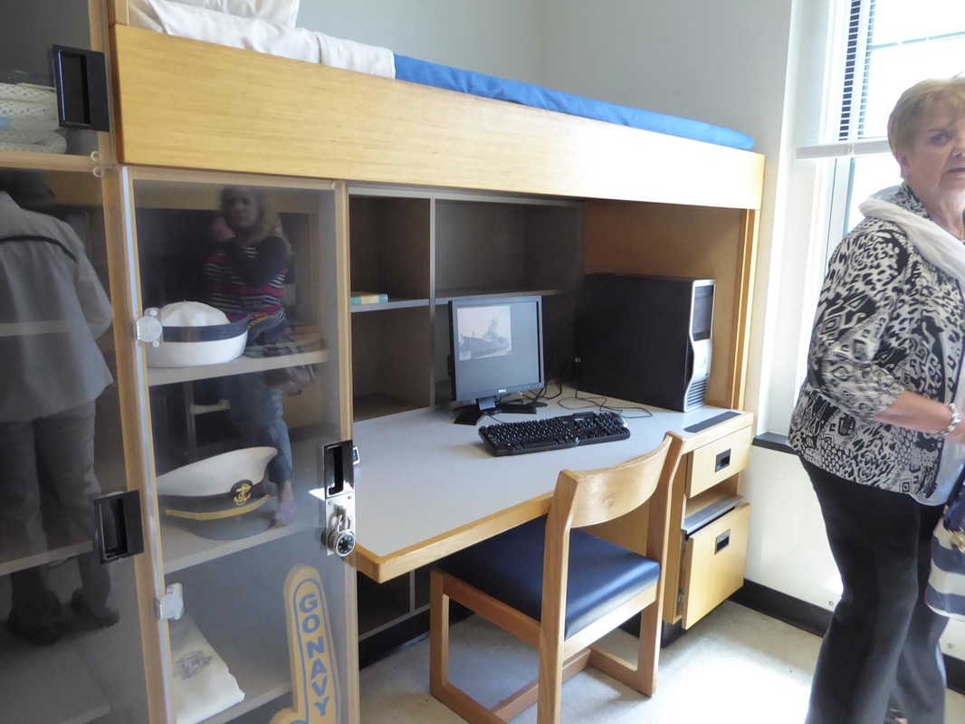
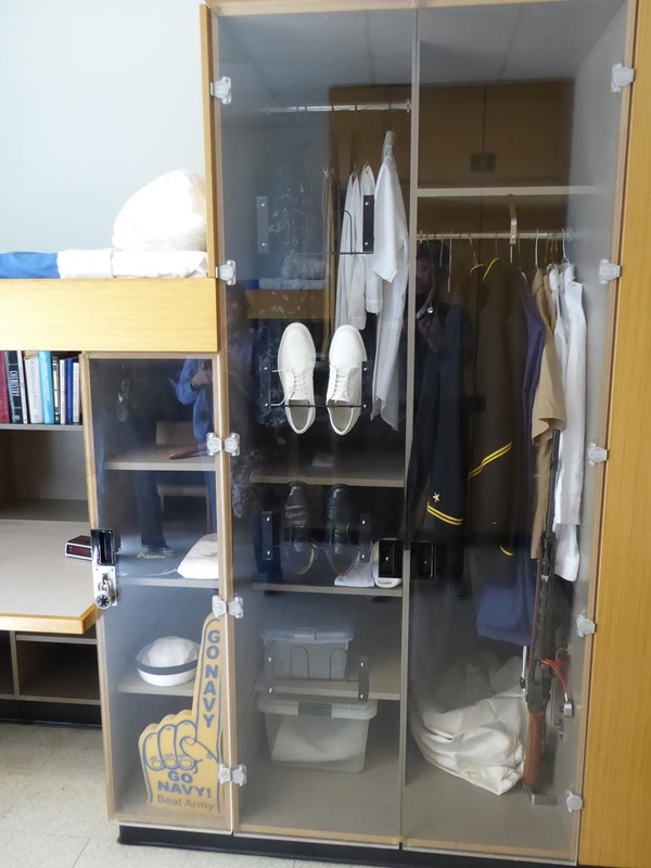
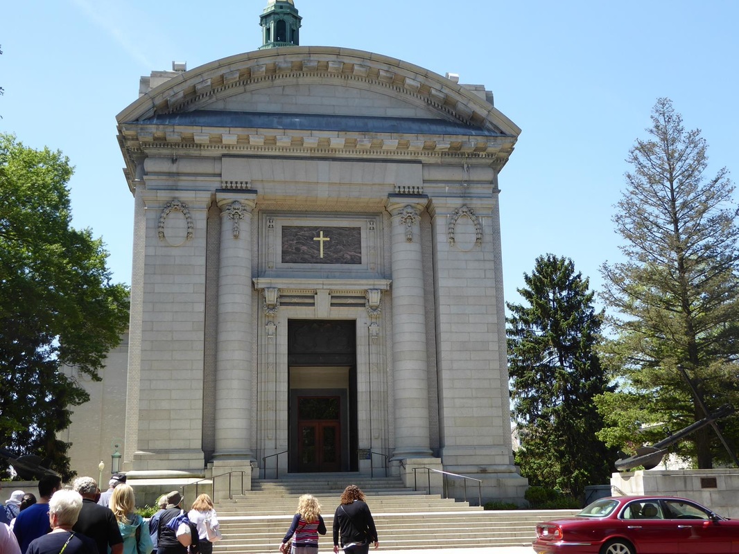
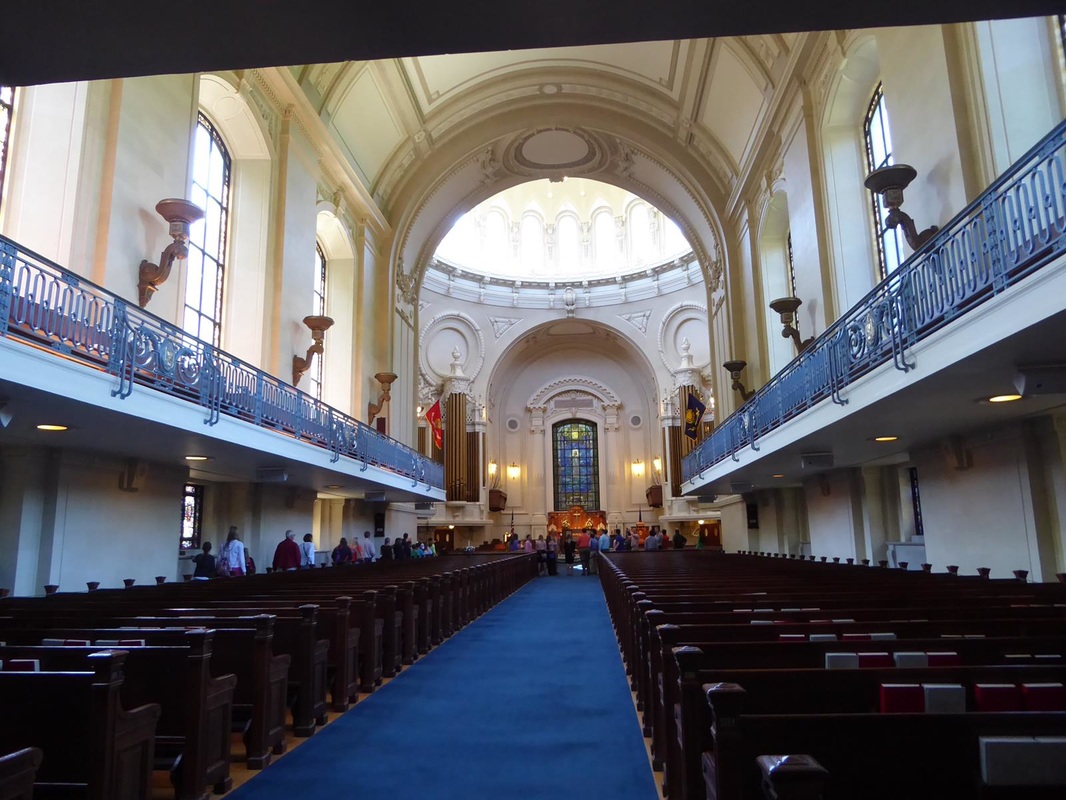
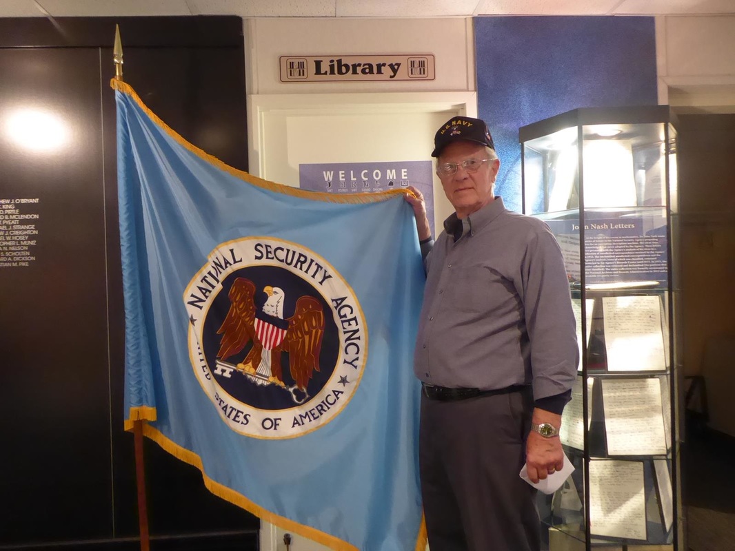
We're resting up for our next adventure. Stay tuned. After overnighting in a Walmart south of Baltimore, we headed in to Ft. McHenry near downtown Baltimore. We made it on the second attempt, the first involving wrong turns which took us back out. We had called ahead and were told to park in the overflow lot as they were expecting 30 buses! Turns out it was mostly pre-teen school kids. What a madhouse! Anyway, Ft. McHenry is the place that inspired Francis Scott Key to write the poem that, when put to music, became our National Anthem. 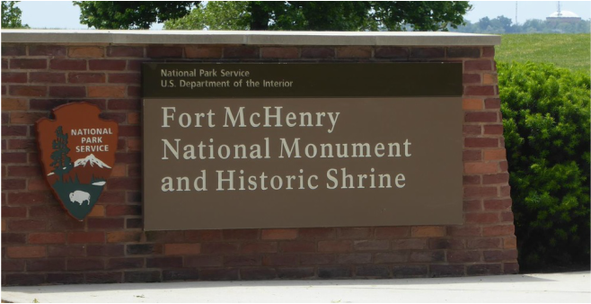 The fort is positioned on a spit of land such that it guards the entrance to Baltimore harbor. 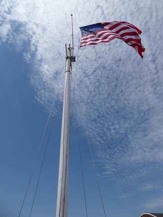 During the War of 1812, the British sent a fleet to capture Baltimore. Apparently they anchored off the approach to the harbor, and Francis Scott Key was sent out in a 'truce boat' to negotiate the exchange of a prominent man the British held as a POW. Key's party was entertained that evening aboard the British flagship, and he learned of the impending land and sea attack on Baltimore. Therefore his ship was not allowed to return and report this news. The bombardment began and went through the rainy night. As dawn approached, Key stood on the deck of his ship with his telescope straining to see which flag would be waving over the fort. I can almost feel the emotion he felt as he finally saw the 15 star American flag hoisted over the fort. Thus was the inspiration for our National Anthem. The highlight of this part of the harbor is the USS Constellation, a 'Sloop-of-War'. It has 16 guns, carries 20,000 square feet of sail, 275 officers and men, and 44 Marines. 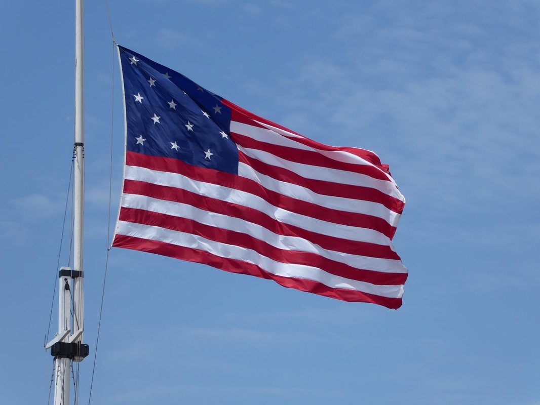 We found we could catch a free shuttle outside the gate to go in to the head of the harbor where we could catch a water taxi for some sightseeing and be delivered by that means back to Ft. McHenry. We could leave our RV there until closing at 4 pm and if we didn't make it back in time we would be locked in for the night. Commissioned in 1855, it served as part of the US Mediterranean Squadron and later as flagship of the US African Squadron charged with intercepting vessels engaged in the illegal slave trade. The main deck The gun deck. Lots of rigging for the guns! The Captain's quarters. The middle photo is the bathroom, the tub is through the 'window' and drains directly to the sea. (click to enlarge) It is interesting to consider all the heavy timbers used in the construction of this and other vessels like it. Probably mostly oak. The photo below is in the hold/bilge area. Notice the heavy curved hull timbers. The hold held a lot of 'pig iron' bars as ballast 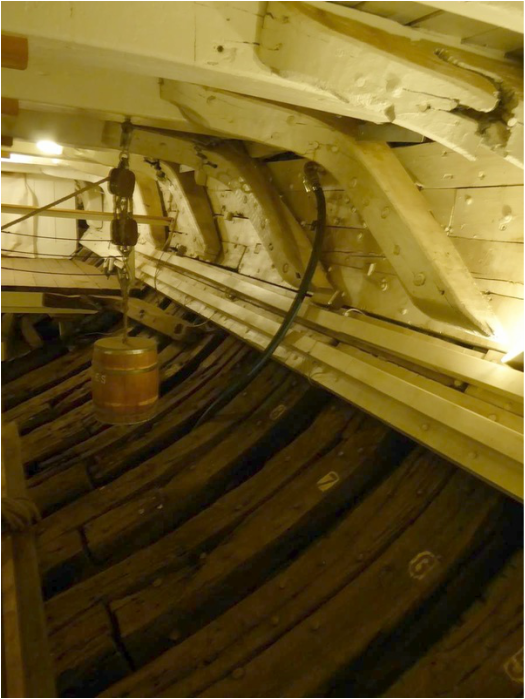 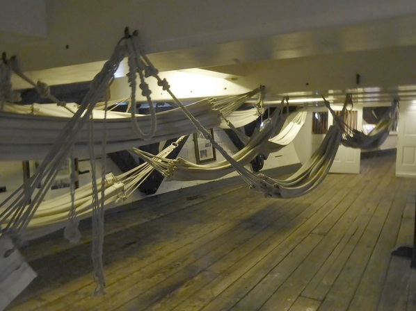 This is the berthing area. I found the photo below to illustrate the amount of sail carried on this ship. Boggles my mind! Notice the Commissioning Pennant at the very top. (remember about that??) 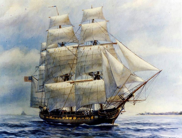  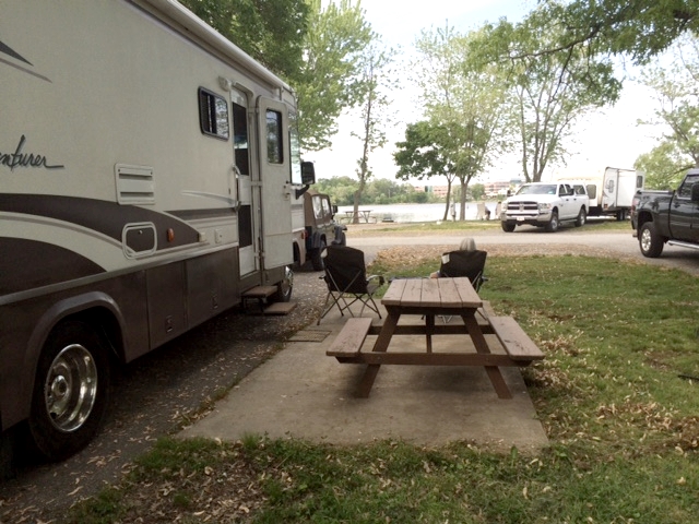 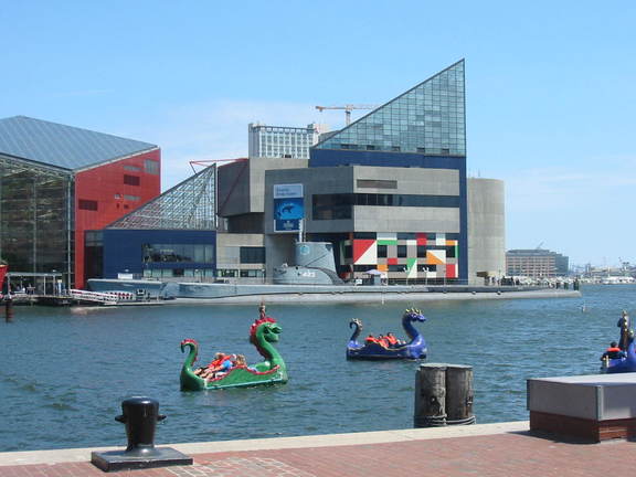 Back in the modern world, we thought these paddle boats were cute. (There is a submarine across the water) Our water taxi ride back required a transfer at Fells Point which is a part of old historic Baltimore and trendy, touristy place. (rough streets!) 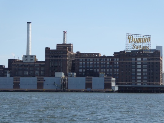 This reminded us of home. For those that don't know, we live in Sugar Land, former home of Imperial Sugar. The water taxi got us back to Ft. McHenry in time to get our RV out before they closed. We moved up the road a bit to a delightful campground on the Bush River which feeds into Chesapeake Bay.  Mary Lou got to kayak and do laundry. We stayed two nights to relax and recharge. After all, tomorrow we move up to Philadelphia. Here's a map of our route from Norfolk to here. Stay tuned. 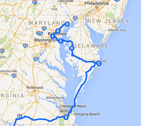 First of all, I found a couple of leftover pictures I didn't use previously; a nifty bridge and a really neat motorcycle with trailer. Now on across the bridge to Annapolis. I kind of expected everything to be concrete from here up through Boston, but no. Trees along the freeways are just like anywhere else. Annapolis is a very old town with narrow brick streets. It's the capital of Maryland and home of the United States Naval Academy. The town has a colonial feel to it. Our interest in coming here was to visit the Naval Academy. We had a great tour with a very knowledgeable lady of German descent as our guide. The midshipmen were clean-cut young men and women and looked very spiffy in their uniforms. As always, click to enlarge photos. There are over 4000 students here living in the largest dormitory in the US called Bancroft Hall having 5 miles of corridors, built in French architectural style. Inside the main hall the rotunda is impressive and beautiful. There is a sample midshipmen's room. The real rooms do not have plexiglass closet doors. The chapel is also very impressive. Parking is difficult here, so during the off season, the parking lot at the Navy-Marine Memorial Stadium is operated as a paid parking lot. It was the only place that could take the RV. 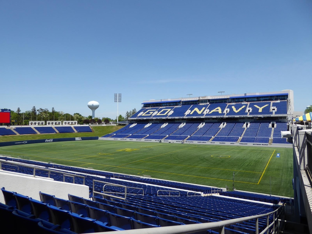 We had time left in the day so we paid a visit to the National Cryptologic Museum south of Baltimore. This was prompted by the film "The Imitation Game" about the breaking of the German Enigma code in WWII. (not sure the title fits the subject). Anyway the movie is quite good and the museum has much more info on not only the German code breaking, but other coding techniques used throughout the centuries. Here's one of the machines featured in the movie built by the British that could decode German messages. 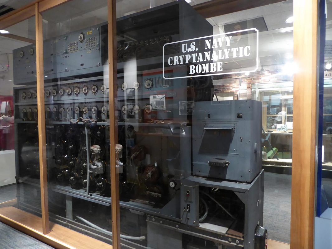 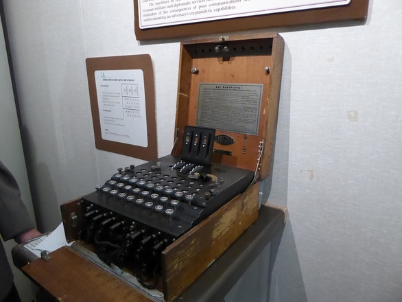 This is an actual German Enigma coding machine. This facility is on the grounds of the National Security Agency (NSA) which has to do with codes, spies, and other highly secret stuff. I felt like I was under surveillance the whole time! This was a long day, but there's more tomorrow.
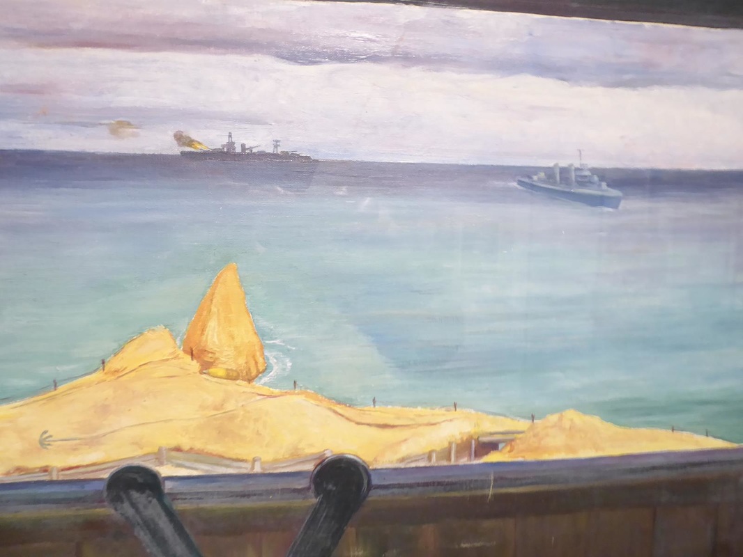
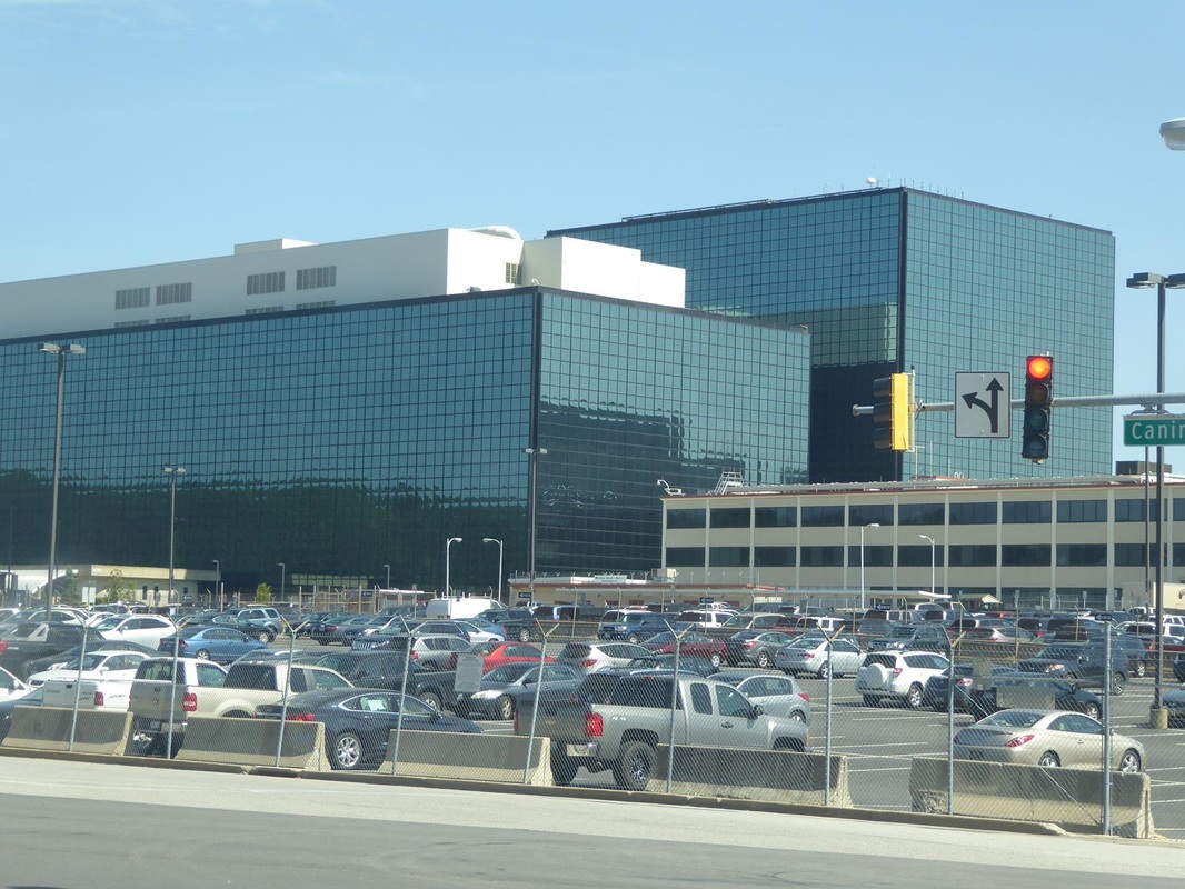
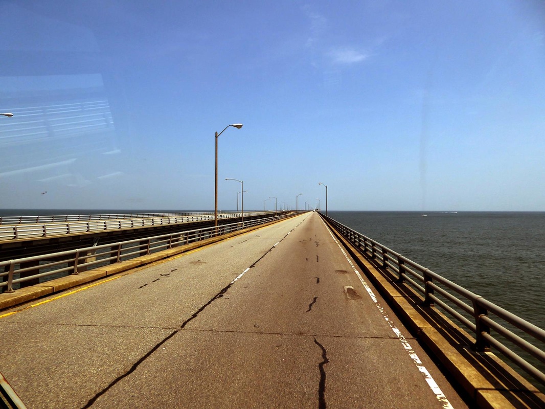
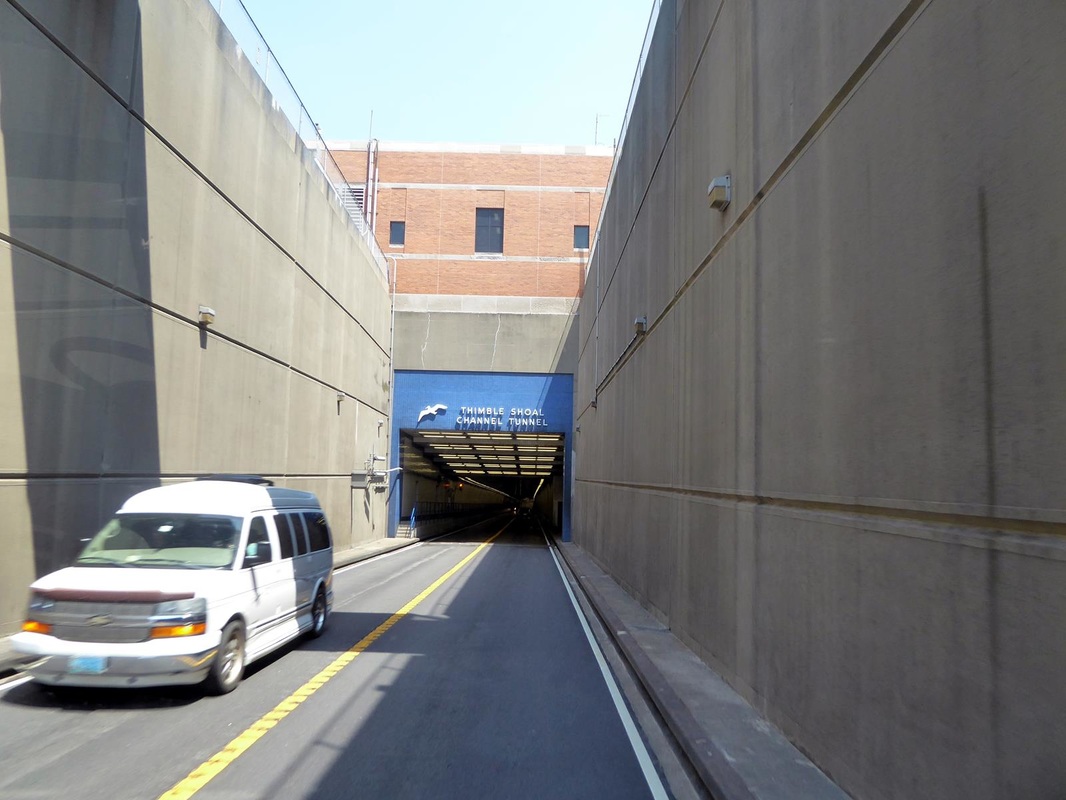
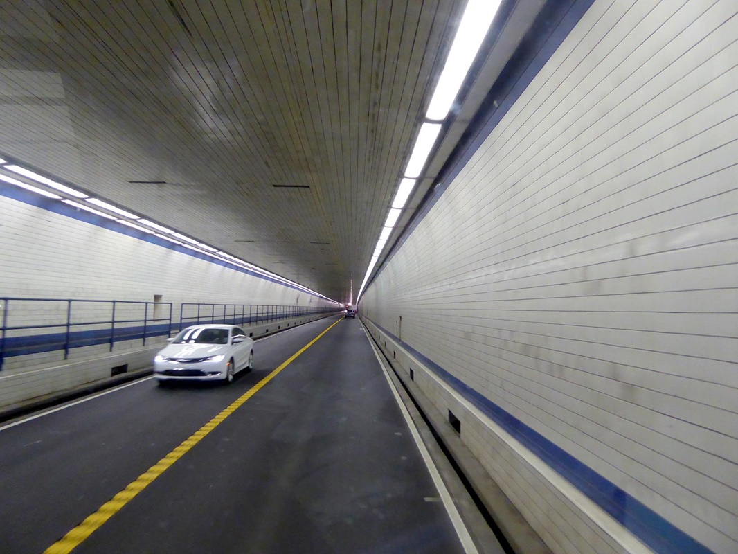
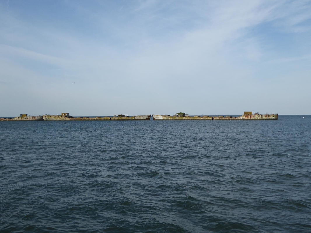
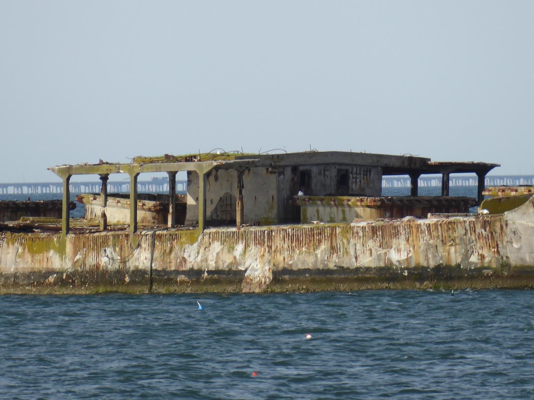
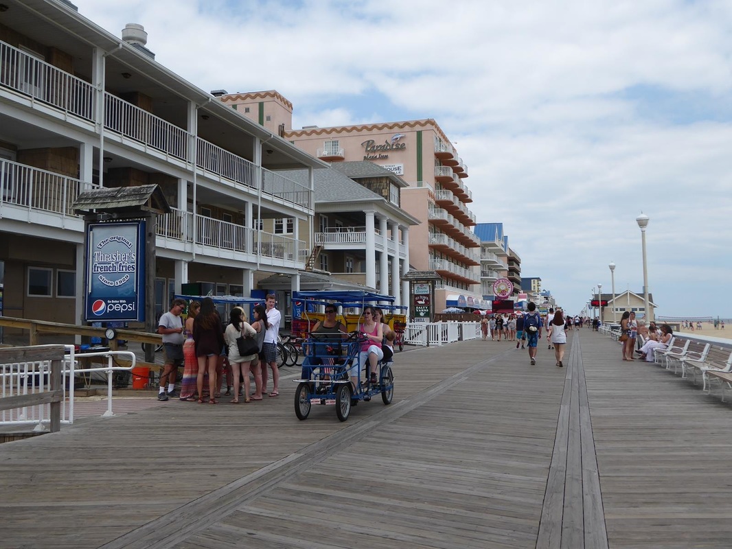
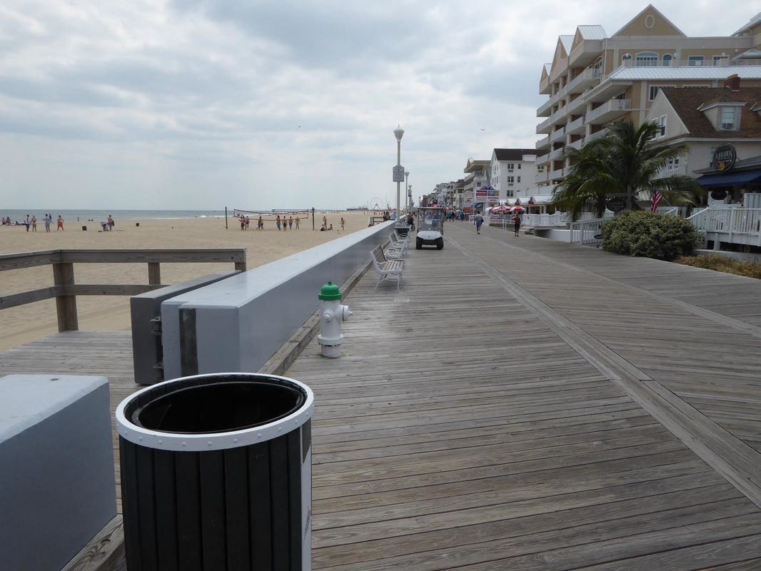
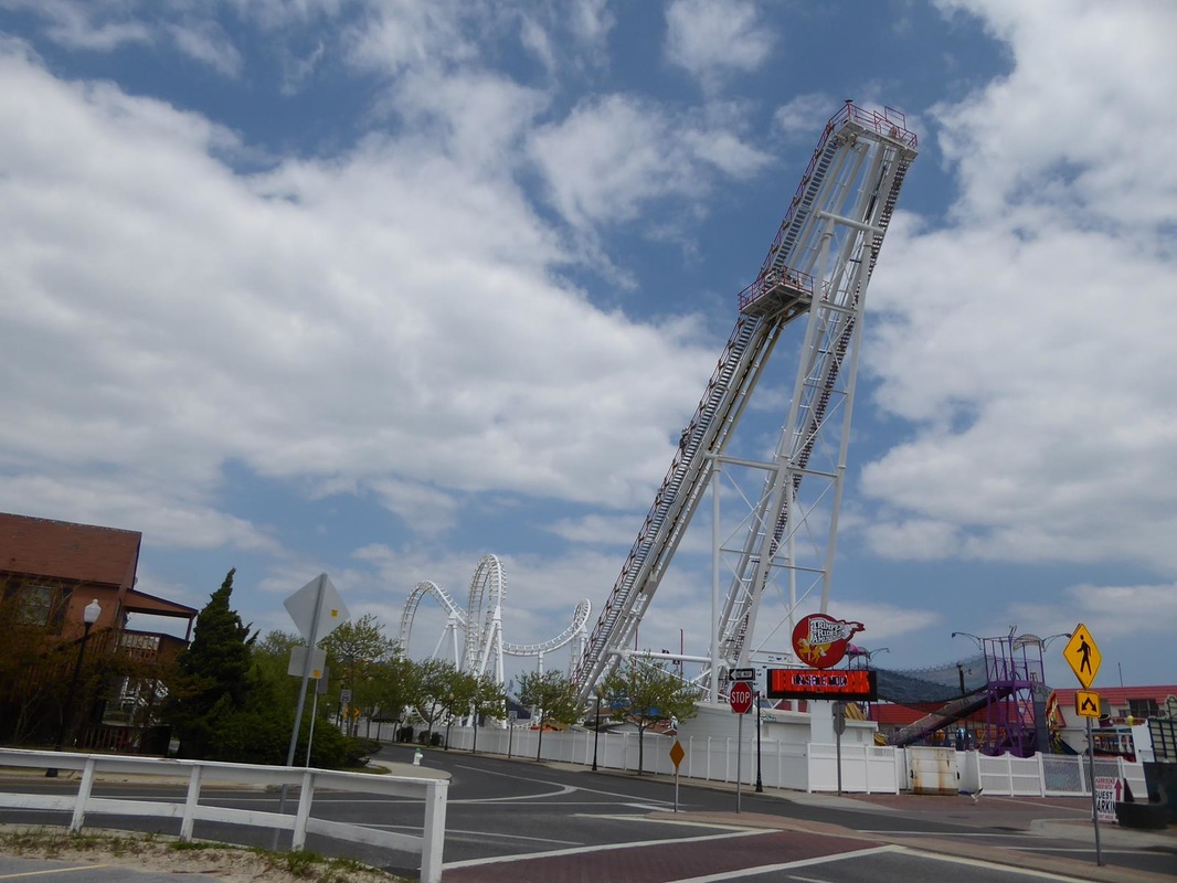
Stay tuned. Last report left off with this: "we planned to be in a campground east of Norfolk, Va, to be ready to cross the 26 mile Chesapeake Bay Bridge/Tunnel". That was not to be, as we had a blowout and were able to park at a brick company near Lawrenceville, Va. Roadside assistance arrived in about 40 minutes, changed the tire with our spare and we were on our way. Locating a tire place in Chesapeake, we opted then to spend a 3rd night in a Walmart, in Suffolk, Va., and had two new tires installed the next day, taking only two hours but significant $$$. Finally on our way to the tunnel, we had to go through Norfolk. Several times so far on this trip, our navigational skills have failed (or is it just the Navigator??) and we have missed turns or exits and have wound up in downtown or residential areas. Then it's a scramble to get back on track. Unfamiliar highways and confusing interchanges along with fast heavy traffic create the problem. I think we will experience more of that as we move up through more congested areas. Here's a pic I took while driving on a Norfolk freeway. The bow of the battleship Wisconsin is slightly visible. (but I don't text while driving!!) 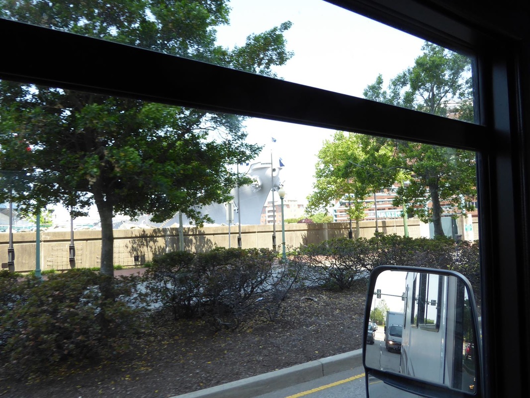 At last to the bridge/tunnel. The bridge is out over open water with two tunnels, the first of which I measured at a little over a mile long. We arrived at a Virginia State Park just on the other side of the bridge on what is known as Virginia's easter shore. Campsites were on grass and very basic, but cost $48 per night (very high for state parks, we think) plus $5 if you wanted to dump at your site. Otherwise dump on the way out. Go figure. 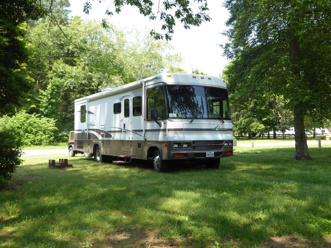 The Chesapeake Bay waterfront had a very nice observation area plus fishing pier ($3 per person). A breakwater was formed by 9 sunken WWII concrete ships. (There is a concrete ship in Galveston Bay, seen from the Bolivar ferry). A concrete boat was first built in 1848 in France. Some were used by the US in WWI, and 24 were built in 1943 at the rate of one per month. They were built to conserve steel for other war use. They proved to be seaworthy and cruised at 7 knots. In the pics below, I was amused by the structure looking like it had a patio all around but apparently it had more superstructure above it. Click to enlarge. All afternoon 2-3 helicopters were making circles dipping down over the bay, then circling around almost over the campground. They had no markings that I could see, but I think they were Navy, possibly doing submarine detection excercises. 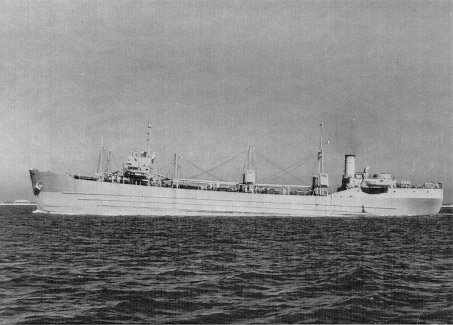 Here's an old picture of one of the ships underway. 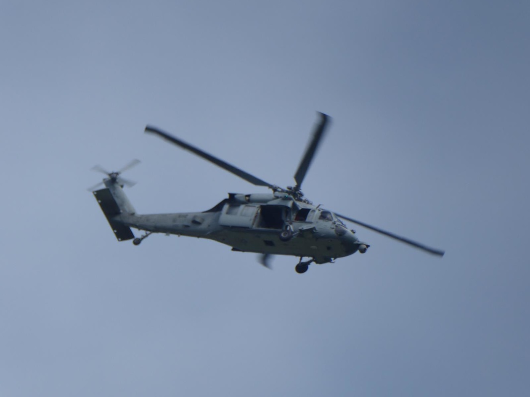 Wifi was only available at the little store - our 'internet cafe'. 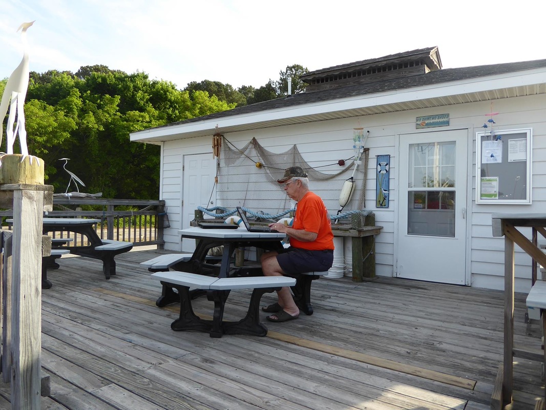 After a much needed rest here, we drove north toward Maryland, to a planned quick stop in Ocean City, a popular beachside destination. Turns out it is a popular place and very touristy. It boasts a 3 mile long boardwalk lined with shops, eateries, hotels, an amusement park and vacation rentals. The beach is wide and clean tan colored powdery sand. Vollyball is popular. The tourists this day were mostly young people and we thought it looked like spring break, but it turned out to be 'senior weekend' (not our kind of 'seniors') therefore they were graduating seniors. Any excuse to party. This eatery was jammed with revelers. 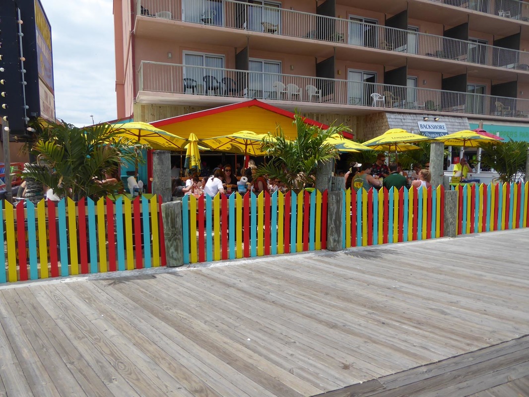 Here's our route to Norfolk. Ocean City is just north on the coast (or 'shore' as they say up here). 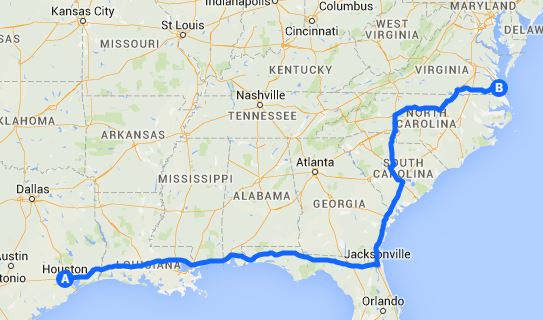 We enjoyed our visit there and moved west to Easton, Maryland, to prepare for our plunge into the fray - Annapolis and Baltimore.
Stay tuned. |